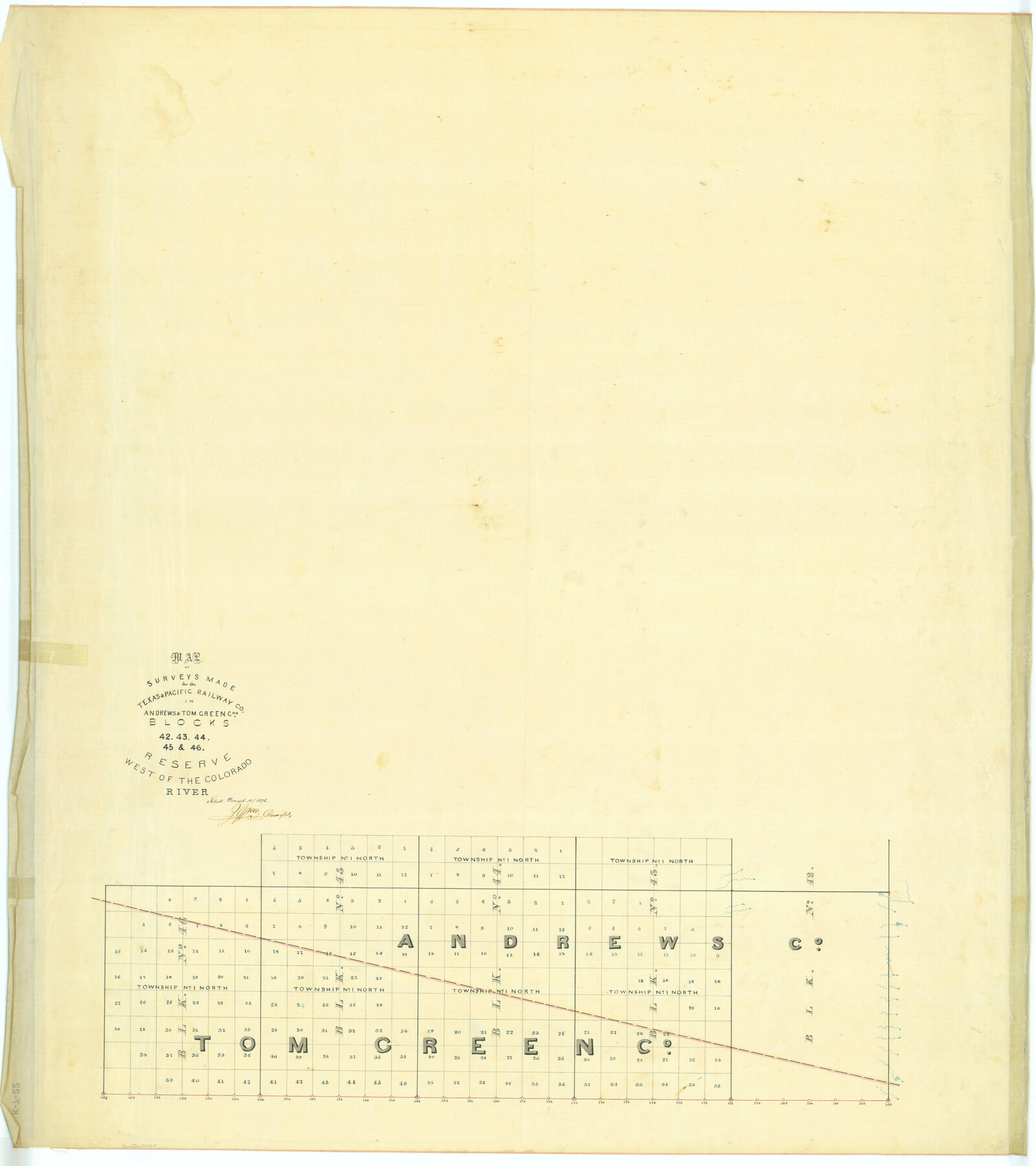
Map of surveys made for the Texas & Pacific Railway Co. in Andrews & Tom Green Cos. Blocks 42, 43, 44, 45 & 46 reserve west of the Colorado River
K-7-22
-
Map/Doc
2225
-
Collection
General Map Collection
-
Object Dates
1876 (Creation Date)
1876/12/11 (File Date)
-
People and Organizations
Texas and Pacific Railroad Company (Author)
-
Counties
Andrews Tom Green
-
Height x Width
42.3 x 37.6 inches
107.4 x 95.5 cm
Part of: General Map Collection
Calhoun County Rolled Sketch 9


Print $20.00
- Digital $50.00
Calhoun County Rolled Sketch 9
Size 24.4 x 38.7 inches
Map/Doc 5365
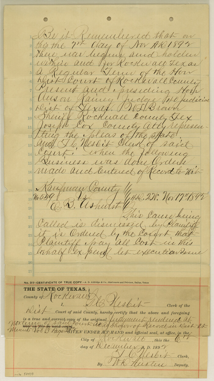
Rockwall County Boundary File 9

Print $8.00
- Digital $50.00
Rockwall County Boundary File 9
Size 15.9 x 9.0 inches
Map/Doc 58433
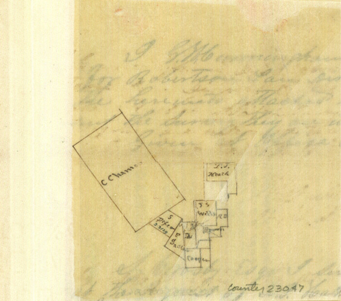
Freestone County Sketch File 5

Print $42.00
- Digital $50.00
Freestone County Sketch File 5
1854
Size 4.6 x 5.2 inches
Map/Doc 23047
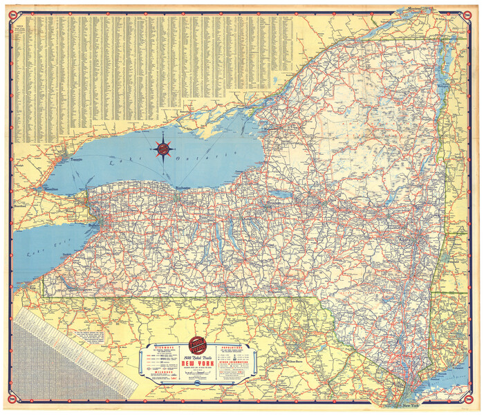
1938 Tydol Trails New York

Print $20.00
- Digital $50.00
1938 Tydol Trails New York
1938
Size 27.2 x 31.8 inches
Map/Doc 97111
Galveston County Sketch File 26


Print $4.00
- Digital $50.00
Galveston County Sketch File 26
1860
Size 11.8 x 5.7 inches
Map/Doc 23397
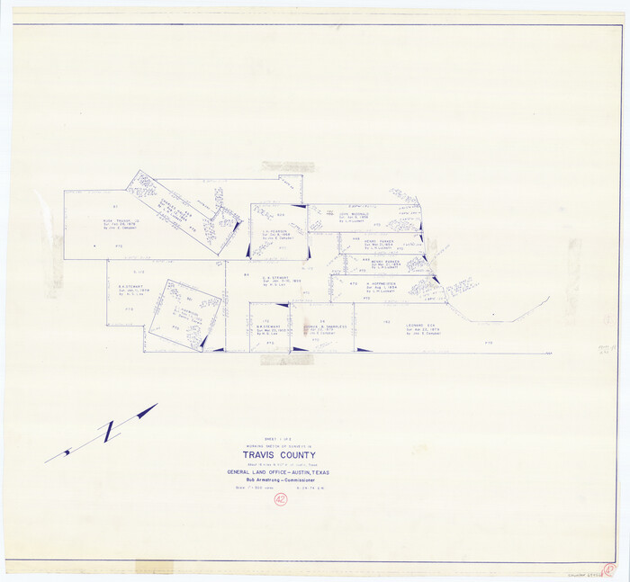
Travis County Working Sketch 42

Print $20.00
- Digital $50.00
Travis County Working Sketch 42
1974
Size 32.5 x 35.2 inches
Map/Doc 69426
Flight Mission No. DQO-8K, Frame 73, Galveston County


Print $20.00
- Digital $50.00
Flight Mission No. DQO-8K, Frame 73, Galveston County
1952
Size 18.6 x 22.4 inches
Map/Doc 85177
Kimble County Sketch File 18


Print $22.00
- Digital $50.00
Kimble County Sketch File 18
1890
Size 8.8 x 14.2 inches
Map/Doc 28953
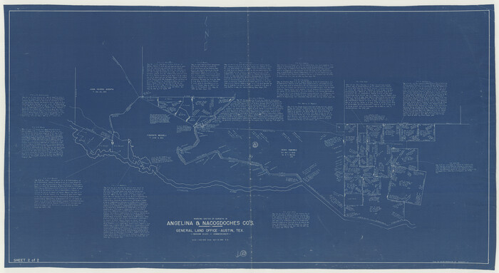
Angelina County Working Sketch 27

Print $40.00
- Digital $50.00
Angelina County Working Sketch 27
1954
Size 31.0 x 56.6 inches
Map/Doc 67109
Flight Mission No. CRK-3P, Frame 129, Refugio County


Print $20.00
- Digital $50.00
Flight Mission No. CRK-3P, Frame 129, Refugio County
1956
Size 18.5 x 22.4 inches
Map/Doc 86917
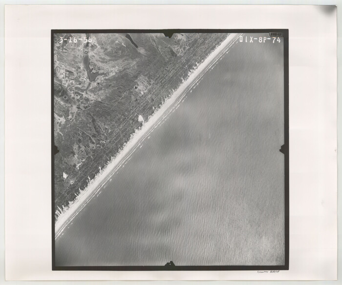
Flight Mission No. DIX-8P, Frame 74, Aransas County

Print $20.00
- Digital $50.00
Flight Mission No. DIX-8P, Frame 74, Aransas County
1956
Size 18.7 x 22.5 inches
Map/Doc 83905
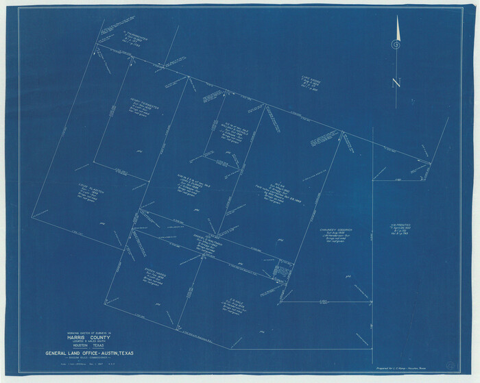
Harris County Working Sketch 52

Print $20.00
- Digital $50.00
Harris County Working Sketch 52
1947
Size 33.9 x 42.4 inches
Map/Doc 65944
You may also like
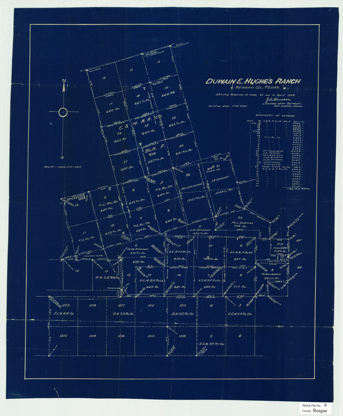
Reagan County Sketch File 9

Print $20.00
- Digital $50.00
Reagan County Sketch File 9
1928
Size 27.0 x 22.3 inches
Map/Doc 12216
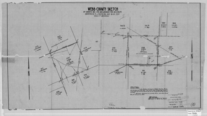
Webb County Sketch File VOLP

Print $40.00
- Digital $50.00
Webb County Sketch File VOLP
1937
Size 18.9 x 33.8 inches
Map/Doc 12607
[Sketch showing Block H, Section 11 of Roberts County, including the south bank of the Canadian River]
![91761, [Sketch showing Block H, Section 11 of Roberts County, including the south bank of the Canadian River], Twichell Survey Records](https://historictexasmaps.com/wmedia_w700/maps/91761-1.tif.jpg)
![91761, [Sketch showing Block H, Section 11 of Roberts County, including the south bank of the Canadian River], Twichell Survey Records](https://historictexasmaps.com/wmedia_w700/maps/91761-1.tif.jpg)
Print $2.00
- Digital $50.00
[Sketch showing Block H, Section 11 of Roberts County, including the south bank of the Canadian River]
1919
Size 14.4 x 8.8 inches
Map/Doc 91761
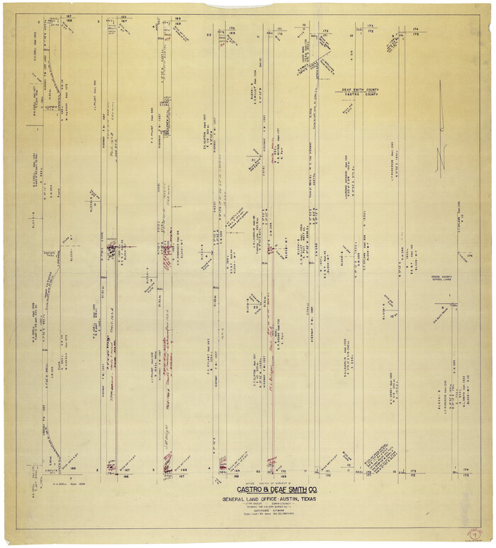
Castro County Working Sketch 9

Print $20.00
- Digital $50.00
Castro County Working Sketch 9
1965
Size 47.1 x 42.7 inches
Map/Doc 68646
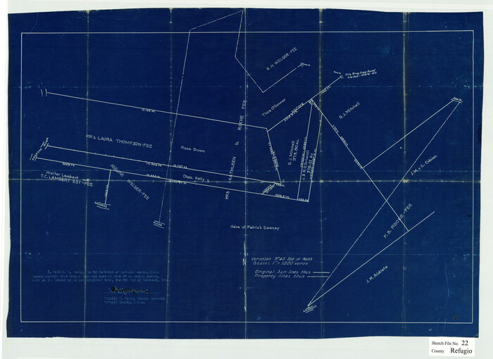
Refugio County Sketch File 22

Print $20.00
- Digital $50.00
Refugio County Sketch File 22
Size 16.2 x 22.3 inches
Map/Doc 12249
Bailey County Working Sketch 3


Print $20.00
- Digital $50.00
Bailey County Working Sketch 3
1922
Size 17.3 x 28.0 inches
Map/Doc 67590
Flight Mission No. CRK-3P, Frame 66, Refugio County
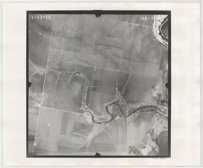

Print $20.00
- Digital $50.00
Flight Mission No. CRK-3P, Frame 66, Refugio County
1956
Size 18.6 x 22.4 inches
Map/Doc 86908
[PSL Blocks A54 & A57]
![89977, [PSL Blocks A54 & A57], Twichell Survey Records](https://historictexasmaps.com/wmedia_w700/maps/89977-1.tif.jpg)
![89977, [PSL Blocks A54 & A57], Twichell Survey Records](https://historictexasmaps.com/wmedia_w700/maps/89977-1.tif.jpg)
Print $20.00
- Digital $50.00
[PSL Blocks A54 & A57]
Size 23.0 x 28.0 inches
Map/Doc 89977
Kent County Rolled Sketch 8


Print $20.00
- Digital $50.00
Kent County Rolled Sketch 8
1873
Size 31.5 x 35.5 inches
Map/Doc 9344
Harris County Sketch File 22
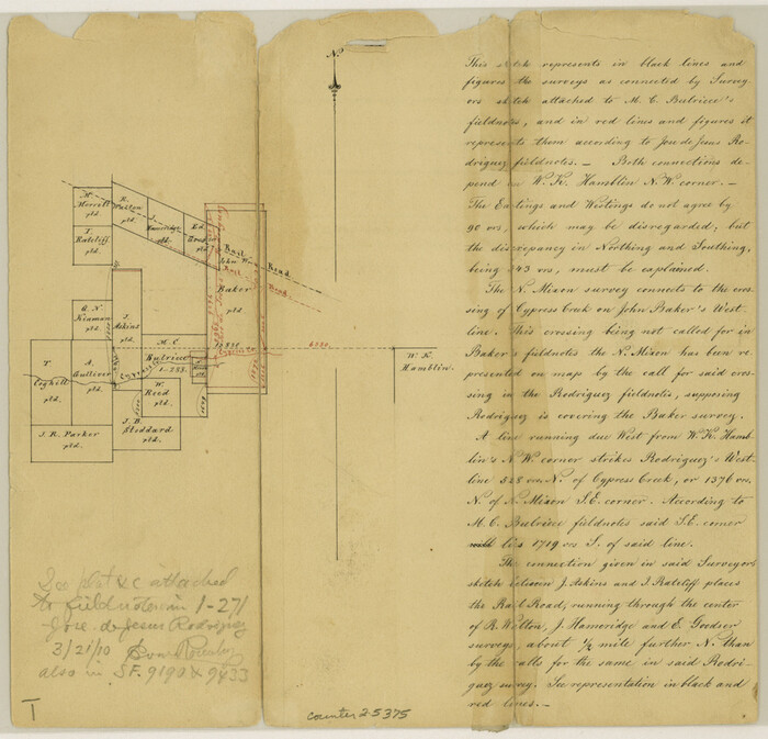

Print $4.00
- Digital $50.00
Harris County Sketch File 22
1862
Size 9.1 x 9.4 inches
Map/Doc 25375
Grayson County Sketch File 18
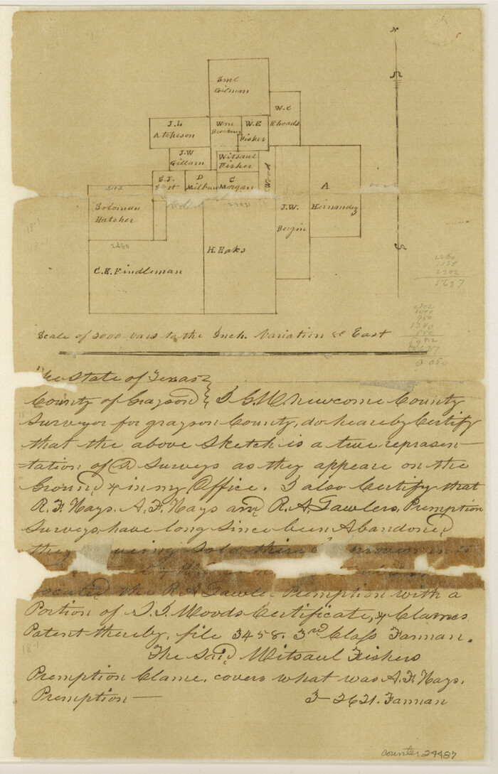

Print $6.00
- Digital $50.00
Grayson County Sketch File 18
1859
Size 12.2 x 7.9 inches
Map/Doc 24487
General Highway Map, Rains County, Texas
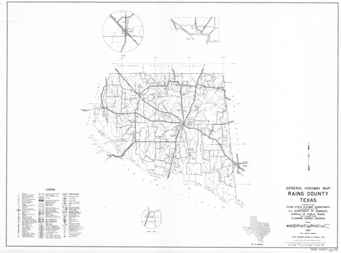

Print $20.00
General Highway Map, Rains County, Texas
1961
Size 18.1 x 24.4 inches
Map/Doc 79634
