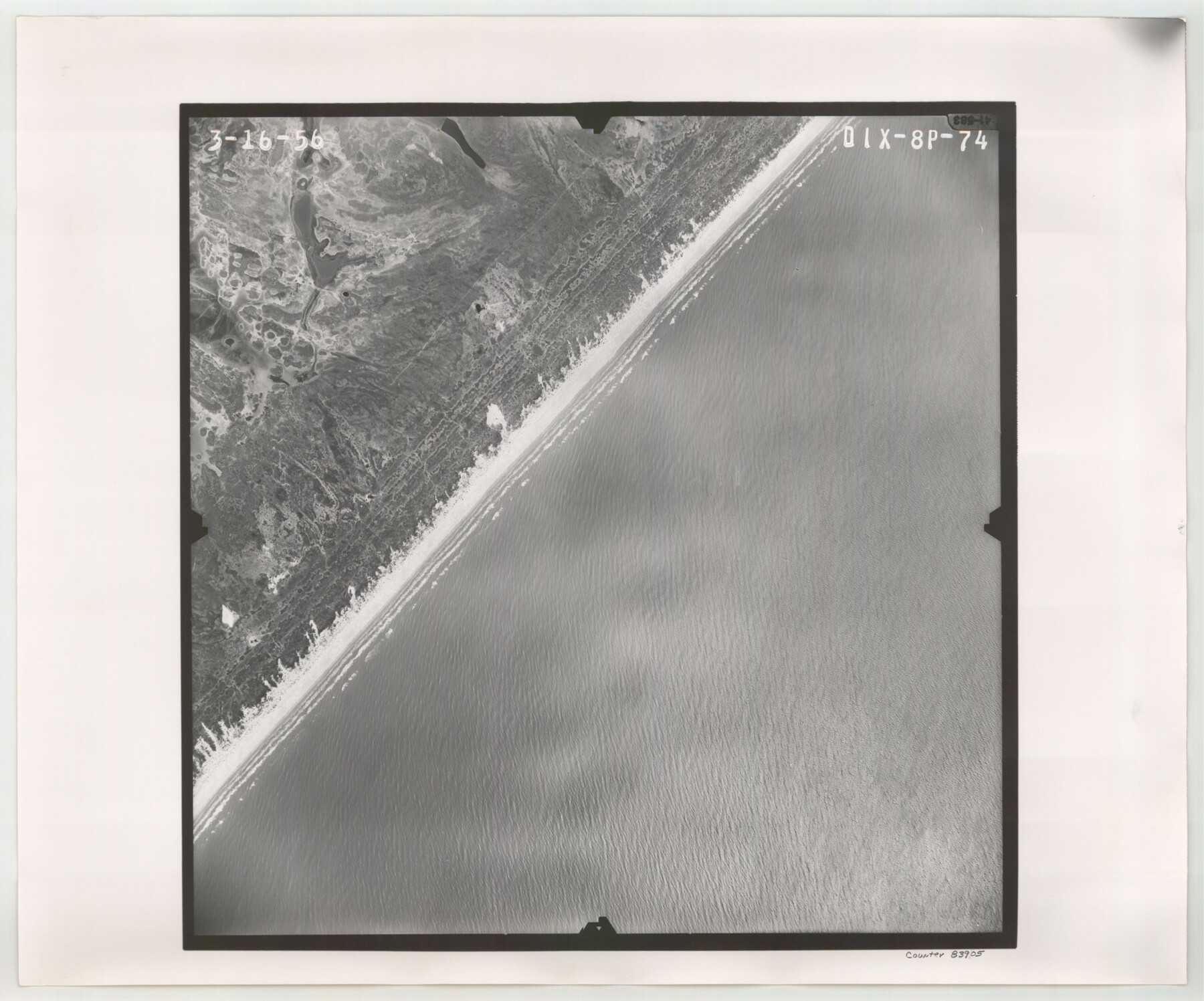
Flight Mission No. DIX-8P, Frame 74, Aransas County
DIX-8P-74
-
Map/Doc
83905
-
Collection
General Map Collection
-
Object Dates
1956/3/16 (Creation Date)
-
People and Organizations
U. S. Department of Agriculture (Publisher)
-
Counties
Aransas
-
Subjects
Aerial Photograph
-
Height x Width
18.7 x 22.5 inches
47.5 x 57.2 cm
-
Comments
Flown by V. L. Beavers and Associates of San Antonio, Texas.
Part of: General Map Collection
Parker County Working Sketch 8

Print $20.00
- Digital $50.00
Parker County Working Sketch 8
1956
Map/Doc 71458
Reagan County Working Sketch 46a

Print $20.00
- Digital $50.00
Reagan County Working Sketch 46a
1970
Size 34.5 x 30.4 inches
Map/Doc 71888
[Surveys along the Nueces River, San Patricio District]
![69738, [Surveys along the Nueces River, San Patricio District], General Map Collection](https://historictexasmaps.com/wmedia_w700/maps/69738.tif.jpg)
Print $2.00
- Digital $50.00
[Surveys along the Nueces River, San Patricio District]
1842
Size 10.3 x 7.9 inches
Map/Doc 69738
International boundary between U.S. & Mexico in Gulf of Mexico from 12 mile point easterly to 200 mile limit

Print $3.00
- Digital $50.00
International boundary between U.S. & Mexico in Gulf of Mexico from 12 mile point easterly to 200 mile limit
1976
Size 9.6 x 14.8 inches
Map/Doc 1748
Flight Mission No. CGI-3N, Frame 43, Cameron County

Print $20.00
- Digital $50.00
Flight Mission No. CGI-3N, Frame 43, Cameron County
1954
Size 18.5 x 22.1 inches
Map/Doc 84549
Val Verde County Sketch File 35

Print $23.00
- Digital $50.00
Val Verde County Sketch File 35
1937
Size 15.3 x 9.4 inches
Map/Doc 12574
Hays County Rolled Sketch 22

Print $20.00
- Digital $50.00
Hays County Rolled Sketch 22
1924
Size 19.4 x 20.6 inches
Map/Doc 6178
Upshur County Boundary File 1

Print $30.00
- Digital $50.00
Upshur County Boundary File 1
Size 9.4 x 8.6 inches
Map/Doc 59500
Map showing the location of the Pecos Valley Railway through H. &. G. N. R.R. Co. Land in Reeves Co., Texas

Print $20.00
- Digital $50.00
Map showing the location of the Pecos Valley Railway through H. &. G. N. R.R. Co. Land in Reeves Co., Texas
1891
Size 37.9 x 42.6 inches
Map/Doc 64708
Culberson County Working Sketch 39

Print $40.00
- Digital $50.00
Culberson County Working Sketch 39
1966
Size 37.9 x 82.7 inches
Map/Doc 68492
Pecos County Working Sketch 108

Print $40.00
- Digital $50.00
Pecos County Working Sketch 108
1971
Size 43.5 x 56.3 inches
Map/Doc 71581
Flight Mission No. BRA-8M, Frame 66, Jefferson County

Print $20.00
- Digital $50.00
Flight Mission No. BRA-8M, Frame 66, Jefferson County
1953
Size 18.6 x 22.1 inches
Map/Doc 85586
You may also like
Lipscomb County Rolled Sketch 5

Print $40.00
- Digital $50.00
Lipscomb County Rolled Sketch 5
Size 9.8 x 62.5 inches
Map/Doc 10639
Glasscock County Sketch File 16

Print $6.00
- Digital $50.00
Glasscock County Sketch File 16
1935
Size 14.4 x 10.9 inches
Map/Doc 24186
Jim Hogg County Rolled Sketch 13

Print $65.00
- Digital $50.00
Jim Hogg County Rolled Sketch 13
1913
Size 21.9 x 28.1 inches
Map/Doc 6444
Galveston County NRC Article 33.136 Sketch 90

Print $144.00
- Digital $50.00
Galveston County NRC Article 33.136 Sketch 90
2021
Map/Doc 96930
Map of Brown County

Print $20.00
- Digital $50.00
Map of Brown County
Size 25.4 x 23.5 inches
Map/Doc 3340
Liberty County Working Sketch 52

Print $20.00
- Digital $50.00
Liberty County Working Sketch 52
1956
Size 32.5 x 24.6 inches
Map/Doc 70512
Flight Mission No. DIX-10P, Frame 65, Aransas County

Print $20.00
- Digital $50.00
Flight Mission No. DIX-10P, Frame 65, Aransas County
1956
Size 18.6 x 22.3 inches
Map/Doc 83926
Sutton County Sketch File JT

Print $12.00
- Digital $50.00
Sutton County Sketch File JT
Size 14.4 x 8.6 inches
Map/Doc 37453
Flight Mission No. CGI-1N, Frame 167, Cameron County

Print $20.00
- Digital $50.00
Flight Mission No. CGI-1N, Frame 167, Cameron County
1955
Size 18.6 x 22.3 inches
Map/Doc 84502
Coke County Sketch File 26

Print $6.00
- Digital $50.00
Coke County Sketch File 26
Size 14.4 x 9.0 inches
Map/Doc 18635
[H. & T. C. RR. Company, Block 47 and vicinity]
![91246, [H. & T. C. RR. Company, Block 47 and vicinity], Twichell Survey Records](https://historictexasmaps.com/wmedia_w700/maps/91246-1.tif.jpg)
Print $20.00
- Digital $50.00
[H. & T. C. RR. Company, Block 47 and vicinity]
Size 37.6 x 26.3 inches
Map/Doc 91246
Presidio County Rolled Sketch WR

Print $20.00
- Digital $50.00
Presidio County Rolled Sketch WR
1927
Size 35.5 x 33.2 inches
Map/Doc 7420