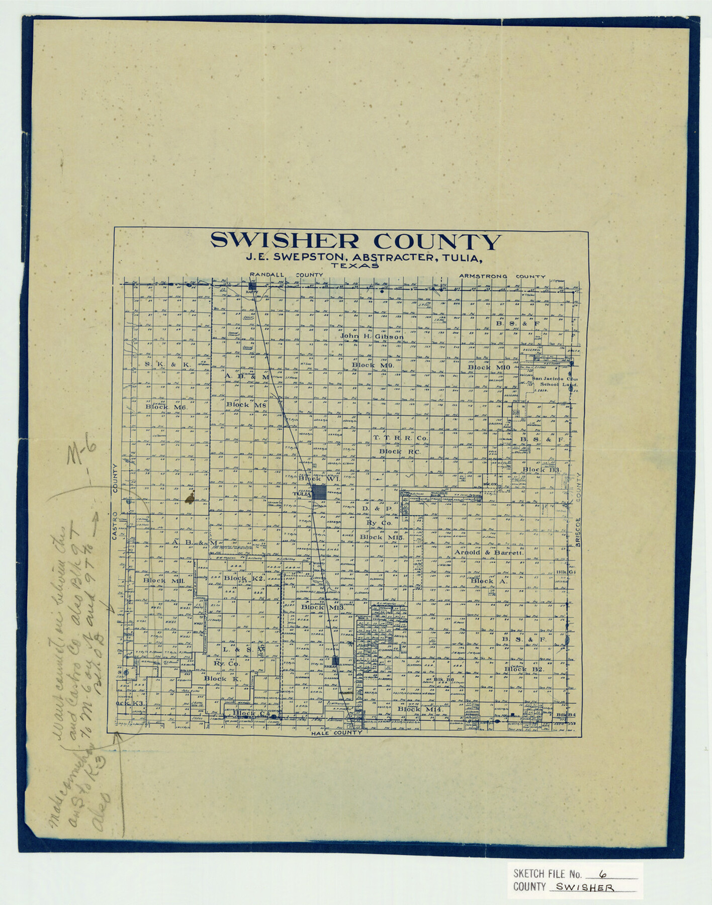
Swisher County Sketch File 6
[Map of Swisher County]
-
Map/Doc
12404
-
Collection
General Map Collection
-
Counties
Swisher
-
Subjects
Surveying Sketch File
-
Height x Width
15.4 x 12.1 inches
39.1 x 30.7 cm
-
Medium
blueprint/diazo
-
Features
Happy
Tulia
Kress
Part of: General Map Collection
Parker County Working Sketch 27

Print $20.00
- Digital $50.00
Parker County Working Sketch 27
2009
Map/Doc 89001
Zavala County Working Sketch 8

Print $20.00
- Digital $50.00
Zavala County Working Sketch 8
1949
Size 24.2 x 17.6 inches
Map/Doc 62083

Edwards County Boundary File 27c

Print $29.00
- Digital $50.00
Edwards County Boundary File 27c
Size 12.8 x 8.1 inches
Map/Doc 52896
Henderson County Sketch File 11

Print $2.00
- Digital $50.00
Henderson County Sketch File 11
Size 8.5 x 3.7 inches
Map/Doc 26348
San Saba County Sketch File 2

Print $6.00
- Digital $50.00
San Saba County Sketch File 2
1854
Size 4.8 x 7.4 inches
Map/Doc 36405
Right of Way & Track Map San Antonio & Aransas Pass Railway Co.

Print $40.00
- Digital $50.00
Right of Way & Track Map San Antonio & Aransas Pass Railway Co.
1919
Size 25.8 x 57.1 inches
Map/Doc 64027
Laguna Madre, Texas from Latitude 26° 20' to 26° 27'

Print $40.00
- Digital $50.00
Laguna Madre, Texas from Latitude 26° 20' to 26° 27'
1879
Size 32.7 x 55.0 inches
Map/Doc 73498
Flight Mission No. BRE-1P, Frame 71, Nueces County

Print $20.00
- Digital $50.00
Flight Mission No. BRE-1P, Frame 71, Nueces County
1956
Size 18.6 x 22.2 inches
Map/Doc 86653
[Fort Worth & Rio Grande Ry.]
![64354, [Fort Worth & Rio Grande Ry.], General Map Collection](https://historictexasmaps.com/wmedia_w700/maps/64354.tif.jpg)
Print $20.00
- Digital $50.00
[Fort Worth & Rio Grande Ry.]
Size 15.2 x 43.0 inches
Map/Doc 64354
Zavala County Sketch File 12

Print $54.00
- Digital $50.00
Zavala County Sketch File 12
1886
Size 9.0 x 7.7 inches
Map/Doc 41279
Part of Laguna Madre from Mosquito Trangulation Station to Sand Triangulation Station

Print $20.00
- Digital $50.00
Part of Laguna Madre from Mosquito Trangulation Station to Sand Triangulation Station
1881
Size 16.4 x 26.9 inches
Map/Doc 73488
You may also like
Kimble County Working Sketch 2

Print $20.00
- Digital $50.00
Kimble County Working Sketch 2
Size 20.6 x 17.9 inches
Map/Doc 70070
Van Zandt County Working Sketch 12

Print $20.00
- Digital $50.00
Van Zandt County Working Sketch 12
1982
Size 21.5 x 20.7 inches
Map/Doc 72262
Starr County Working Sketch 24

Print $20.00
- Digital $50.00
Starr County Working Sketch 24
1988
Size 37.1 x 20.2 inches
Map/Doc 63940
Bandera County Working Sketch 47

Print $20.00
- Digital $50.00
Bandera County Working Sketch 47
1981
Size 19.6 x 12.0 inches
Map/Doc 67643
Harris County Sketch File 97

Print $28.00
- Digital $50.00
Harris County Sketch File 97
1917
Size 14.3 x 8.9 inches
Map/Doc 25641
San Augustine County Sketch File 6

Print $4.00
San Augustine County Sketch File 6
1858
Size 6.4 x 7.7 inches
Map/Doc 35644
San Jacinto River and Tributaries, Texas - Survey of 1939

Print $20.00
- Digital $50.00
San Jacinto River and Tributaries, Texas - Survey of 1939
1939
Size 27.7 x 40.5 inches
Map/Doc 60310
Polk County Sketch File 10

Print $4.00
- Digital $50.00
Polk County Sketch File 10
Size 5.2 x 6.4 inches
Map/Doc 34140
Map of the West Indies designed to accompany Smith's Geography for Schools

Print $20.00
- Digital $50.00
Map of the West Indies designed to accompany Smith's Geography for Schools
1850
Size 9.6 x 12.0 inches
Map/Doc 93893
Map of Clay County, Cooke Land District, formely(sic.) Fannin Land District

Print $20.00
- Digital $50.00
Map of Clay County, Cooke Land District, formely(sic.) Fannin Land District
1859
Size 30.2 x 19.0 inches
Map/Doc 1049
Red River County Working Sketch 64

Print $20.00
- Digital $50.00
Red River County Working Sketch 64
1973
Size 26.1 x 32.3 inches
Map/Doc 72047
Louisiana and Texas Intracoastal Waterway Proposed Extension to Rio Grande Valley

Print $20.00
- Digital $50.00
Louisiana and Texas Intracoastal Waterway Proposed Extension to Rio Grande Valley
1941
Size 28.0 x 41.3 inches
Map/Doc 61892