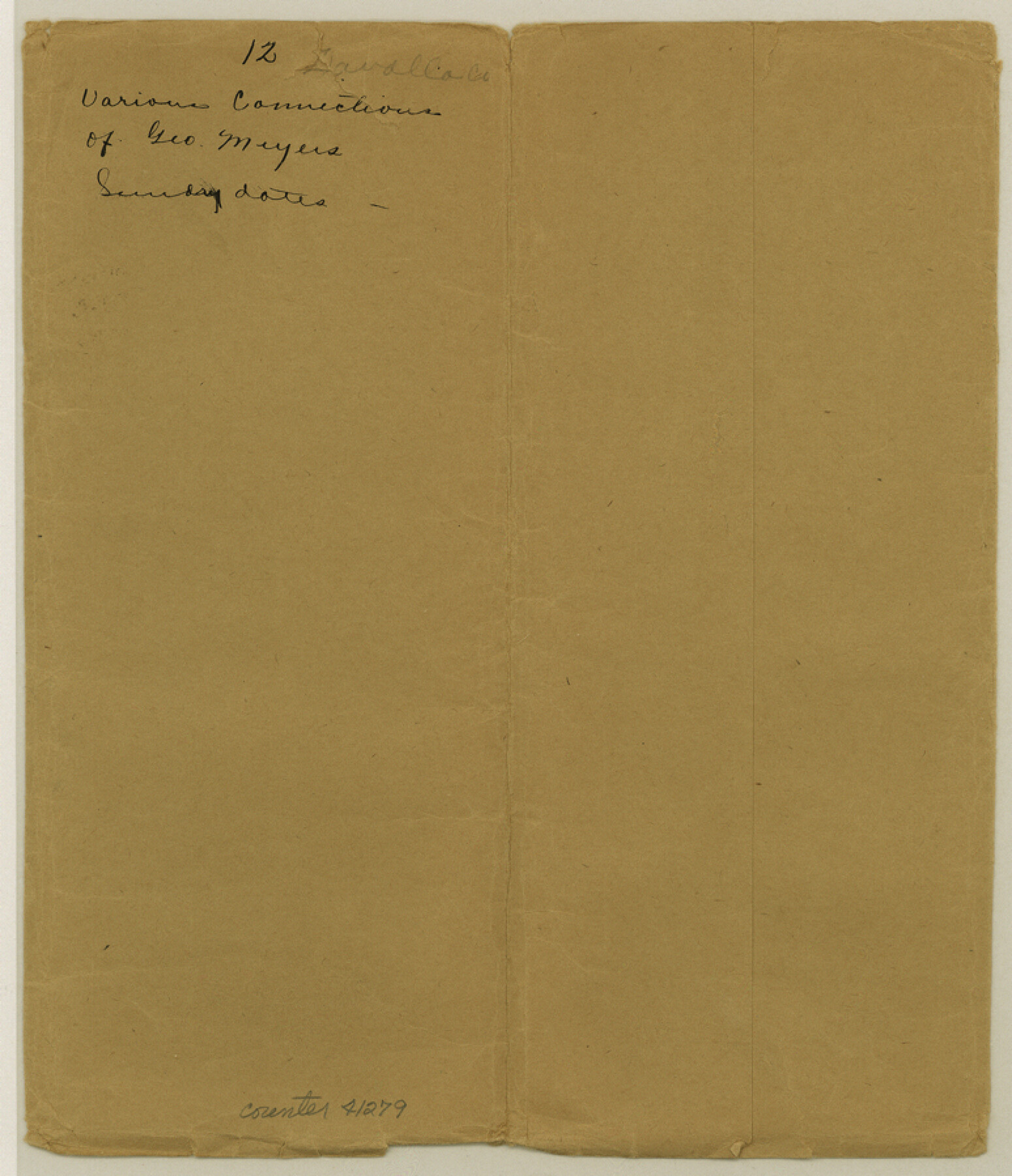
Zavala County Sketch File 12
[Multiple connecting lines]
-
Map/Doc
41279
-
Collection
General Map Collection
-
Object Dates
1886 (Creation Date)
1887 (File Date)
-
People and Organizations
George Myers (Surveyor/Engineer)
-
Counties
Zavala
-
Subjects
Surveying Sketch File
-
Height x Width
9.0 x 7.7 inches
22.9 x 19.6 cm
-
Medium
paper, manuscript
-
Features
Presidio Road
Batesville & Pearsall Road
Yoledego Creek
Aroya [sic] Negro
Part of: General Map Collection
The Texas Co-Ordinate System, Title 86 Art. 5300A

Print $20.00
- Digital $50.00
The Texas Co-Ordinate System, Title 86 Art. 5300A
1943
Size 27.7 x 30.3 inches
Map/Doc 3122
Upton County Sketch File 33

Print $20.00
- Digital $50.00
Upton County Sketch File 33
1939
Size 19.4 x 20.8 inches
Map/Doc 12524
Burnet County Working Sketch 18

Print $20.00
- Digital $50.00
Burnet County Working Sketch 18
1980
Size 44.3 x 32.9 inches
Map/Doc 67861
Chambers County Sketch File 21a

Print $2.00
- Digital $50.00
Chambers County Sketch File 21a
1867
Size 10.2 x 6.6 inches
Map/Doc 17593
Galveston County NRC Article 33.136 Sketch 28

Print $26.00
- Digital $50.00
Galveston County NRC Article 33.136 Sketch 28
2004
Size 35.3 x 25.0 inches
Map/Doc 82909
Concho County Sketch File 5

Print $2.00
- Digital $50.00
Concho County Sketch File 5
1858
Size 8.1 x 7.4 inches
Map/Doc 82974
Flight Mission No. CGI-3N, Frame 126, Cameron County

Print $20.00
- Digital $50.00
Flight Mission No. CGI-3N, Frame 126, Cameron County
1954
Size 18.5 x 22.1 inches
Map/Doc 84599
Coleman County Sketch File 9

Print $24.00
- Digital $50.00
Coleman County Sketch File 9
1859
Size 12.4 x 8.2 inches
Map/Doc 18675
The Oil and Gas Journal's Oil Map of Texas

Print $20.00
- Digital $50.00
The Oil and Gas Journal's Oil Map of Texas
1938
Size 38.3 x 39.4 inches
Map/Doc 96970
Flight Mission No. CGI-1N, Frame 135, Cameron County

Print $20.00
- Digital $50.00
Flight Mission No. CGI-1N, Frame 135, Cameron County
1955
Size 17.2 x 18.7 inches
Map/Doc 84491
Burnet County Sketch File 1

Print $40.00
- Digital $50.00
Burnet County Sketch File 1
1847
Size 16.1 x 12.4 inches
Map/Doc 16670
Jim Hogg County Sketch File 9

Print $24.00
- Digital $50.00
Jim Hogg County Sketch File 9
1941
Size 14.2 x 8.7 inches
Map/Doc 28411
You may also like
Goliad County Sketch File 42a

Print $4.00
- Digital $50.00
Goliad County Sketch File 42a
1845
Size 13.3 x 8.2 inches
Map/Doc 24353
Kenedy County Aerial Photograph Index Sheet 2

Print $20.00
- Digital $50.00
Kenedy County Aerial Photograph Index Sheet 2
1943
Size 23.1 x 19.3 inches
Map/Doc 83714
Wharton County Working Sketch 21

Print $20.00
- Digital $50.00
Wharton County Working Sketch 21
1937
Size 16.9 x 20.8 inches
Map/Doc 72485
Flight Mission No. DQN-5K, Frame 37, Calhoun County

Print $20.00
- Digital $50.00
Flight Mission No. DQN-5K, Frame 37, Calhoun County
1953
Size 18.5 x 22.1 inches
Map/Doc 84385
Webb County Working Sketch 9

Print $20.00
- Digital $50.00
Webb County Working Sketch 9
1911
Size 17.2 x 30.8 inches
Map/Doc 72374
Sutton County Sketch File 18

Print $94.00
- Digital $50.00
Sutton County Sketch File 18
1893
Size 12.9 x 8.3 inches
Map/Doc 37410
Lynn County Boundary File 7a

Print $8.00
- Digital $50.00
Lynn County Boundary File 7a
Size 14.3 x 8.8 inches
Map/Doc 56647
[Aerial photograph from Carancahua Bend of Caney Creek to Cedar Lake]
![78640, [Aerial photograph from Carancahua Bend of Caney Creek to Cedar Lake], General Map Collection](https://historictexasmaps.com/wmedia_w700/maps/78640.tif.jpg)
Print $20.00
- Digital $50.00
[Aerial photograph from Carancahua Bend of Caney Creek to Cedar Lake]
1991
Size 24.4 x 30.3 inches
Map/Doc 78640
General Highway Map. Detail of Cities and Towns in Bell County, Texas [Temple]
![79368, General Highway Map. Detail of Cities and Towns in Bell County, Texas [Temple], Texas State Library and Archives](https://historictexasmaps.com/wmedia_w700/maps/79368.tif.jpg)
Print $20.00
General Highway Map. Detail of Cities and Towns in Bell County, Texas [Temple]
1961
Size 18.2 x 25.0 inches
Map/Doc 79368
Flight Mission No. BRE-2P, Frame 123, Nueces County

Print $20.00
- Digital $50.00
Flight Mission No. BRE-2P, Frame 123, Nueces County
1956
Size 18.5 x 22.4 inches
Map/Doc 86799
Right of Way and Track Map - Houston & Texas Central R.R. operated by the T. and N. O. R.R. Co. - Main Line

Print $40.00
- Digital $50.00
Right of Way and Track Map - Houston & Texas Central R.R. operated by the T. and N. O. R.R. Co. - Main Line
1918
Size 26.0 x 58.1 inches
Map/Doc 82856
Mason County Rolled Sketch 2

Print $20.00
- Digital $50.00
Mason County Rolled Sketch 2
1952
Size 32.9 x 26.7 inches
Map/Doc 6675