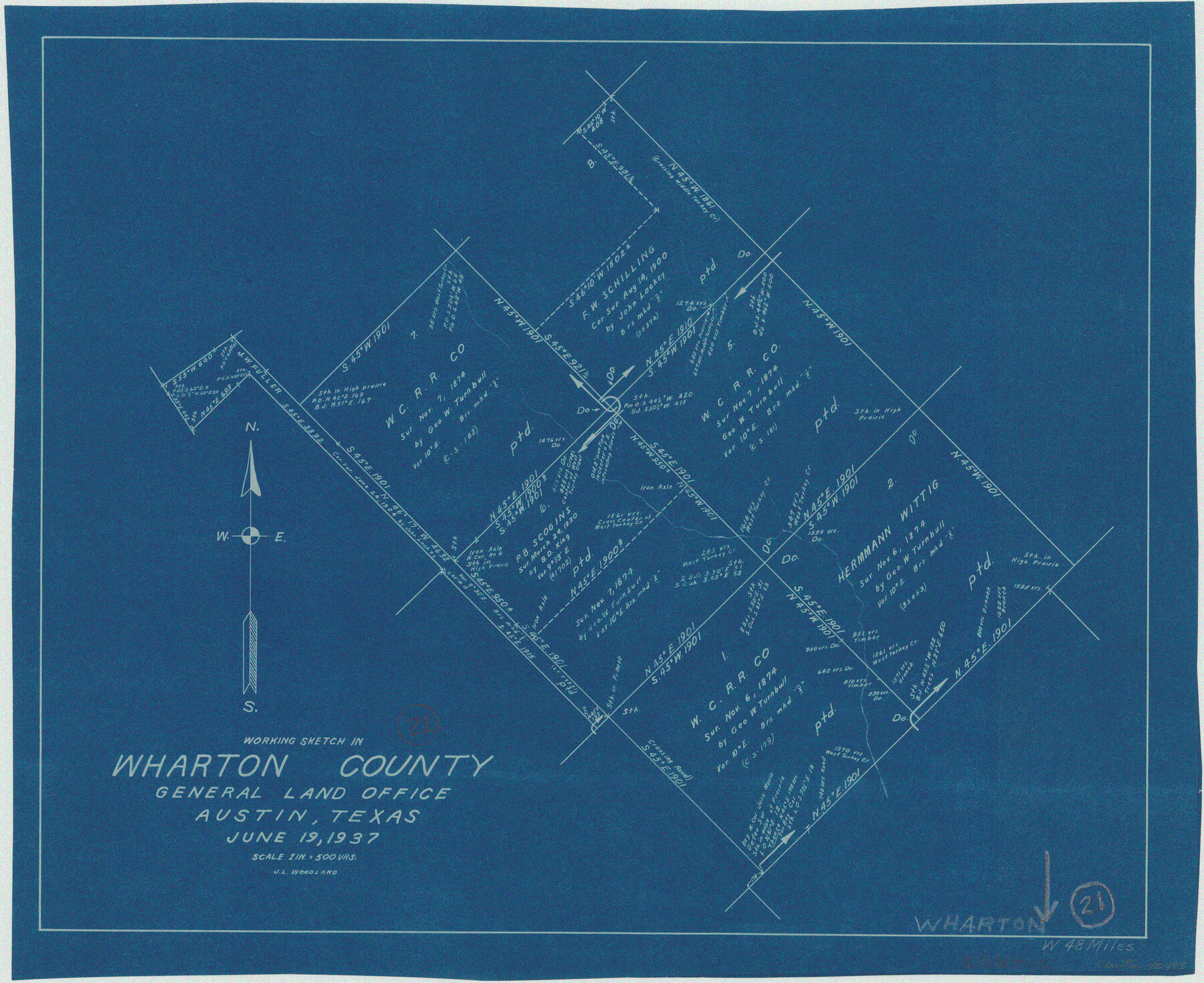
Wharton County Working Sketch 21
-
Map/Doc
72485
-
Collection
General Map Collection
-
Object Dates
6/19/1937 (Creation Date)
-
People and Organizations
J.L. Woodland (Draftsman)
-
Counties
Wharton
-
Subjects
Surveying Working Sketch
-
Height x Width
16.9 x 20.8 inches
42.9 x 52.8 cm
-
Scale
1" = 500 varas
Part of: General Map Collection
Garza County Sketch File E1

Print $8.00
- Digital $50.00
Garza County Sketch File E1
1901
Size 11.2 x 8.8 inches
Map/Doc 24022
The Town of Charlotte Situated on the San Antonio, Uvalde and Gulf Railway in Atascosa County, Texas

Print $20.00
- Digital $50.00
The Town of Charlotte Situated on the San Antonio, Uvalde and Gulf Railway in Atascosa County, Texas
1911
Size 29.7 x 24.5 inches
Map/Doc 4823
Flight Mission No. DAG-14K, Frame 42, Matagorda County

Print $20.00
- Digital $50.00
Flight Mission No. DAG-14K, Frame 42, Matagorda County
1952
Size 18.5 x 22.3 inches
Map/Doc 86300
Anderson County Working Sketch 25

Print $20.00
- Digital $50.00
Anderson County Working Sketch 25
1958
Size 33.1 x 36.6 inches
Map/Doc 67025
Scurry County Working Sketch 2

Print $3.00
- Digital $50.00
Scurry County Working Sketch 2
1934
Size 16.2 x 10.2 inches
Map/Doc 63831

Intracoastal Waterway, Houma, LA to Corpus Christi, TX

Print $5.00
- Digital $50.00
Intracoastal Waterway, Houma, LA to Corpus Christi, TX
Size 22.2 x 29.6 inches
Map/Doc 61913
[Texas Gulf Coast from Rio Grande to Sabine Lake]
![72686, [Texas Gulf Coast from Rio Grande to Sabine Lake], General Map Collection](https://historictexasmaps.com/wmedia_w700/maps/72686.tif.jpg)
Print $20.00
- Digital $50.00
[Texas Gulf Coast from Rio Grande to Sabine Lake]
Size 28.0 x 18.3 inches
Map/Doc 72686
Freestone County Sketch File 25

Print $18.00
- Digital $50.00
Freestone County Sketch File 25
1952
Size 11.3 x 8.6 inches
Map/Doc 23087
Coast Chart No. 210 Aransas Pass and Corpus Christi Bay with the coast to latitude 27° 12' Texas

Print $20.00
- Digital $50.00
Coast Chart No. 210 Aransas Pass and Corpus Christi Bay with the coast to latitude 27° 12' Texas
1913
Size 27.9 x 18.3 inches
Map/Doc 72806

[Galveston, Harrisburg & San Antonio through El Paso County]
![64008, [Galveston, Harrisburg & San Antonio through El Paso County], General Map Collection](https://historictexasmaps.com/wmedia_w700/maps/64008.tif.jpg)
Print $20.00
- Digital $50.00
[Galveston, Harrisburg & San Antonio through El Paso County]
1906
Size 13.7 x 33.8 inches
Map/Doc 64008
You may also like
Flight Mission No. CRC-5R, Frame 25, Chambers County

Print $20.00
- Digital $50.00
Flight Mission No. CRC-5R, Frame 25, Chambers County
1956
Size 18.9 x 22.4 inches
Map/Doc 84947
Atascosa County Working Sketch 30

Print $20.00
- Digital $50.00
Atascosa County Working Sketch 30
1980
Size 16.4 x 20.6 inches
Map/Doc 67226
Bandera County Working Sketch 11

Print $20.00
- Digital $50.00
Bandera County Working Sketch 11
1928
Size 17.8 x 27.4 inches
Map/Doc 67604
Flight Mission No. DCL-6C, Frame 93, Kenedy County

Print $20.00
- Digital $50.00
Flight Mission No. DCL-6C, Frame 93, Kenedy County
1943
Size 18.6 x 22.3 inches
Map/Doc 85923
Travis County Appraisal District Plat Map 2_2813

Print $20.00
- Digital $50.00
Travis County Appraisal District Plat Map 2_2813
Size 21.5 x 26.5 inches
Map/Doc 94217
[East Line and Red River Railroad Company, Block Z and vicinity]
![91256, [East Line and Red River Railroad Company, Block Z and vicinity], Twichell Survey Records](https://historictexasmaps.com/wmedia_w700/maps/91256-1.tif.jpg)
Print $20.00
- Digital $50.00
[East Line and Red River Railroad Company, Block Z and vicinity]
1878
Size 27.8 x 22.1 inches
Map/Doc 91256
Jeff Davis County Rolled Sketch 46

Print $134.00
- Digital $50.00
Jeff Davis County Rolled Sketch 46
2006
Size 17.5 x 24.0 inches
Map/Doc 87213

Western United States

Print $20.00
- Digital $50.00
Western United States
1849
Size 18.8 x 27.8 inches
Map/Doc 2088
San Jacinto County Rolled Sketch 14

Print $20.00
- Digital $50.00
San Jacinto County Rolled Sketch 14
1998
Size 25.7 x 37.2 inches
Map/Doc 7570
Presidio County Rolled Sketch 28

Print $20.00
- Digital $50.00
Presidio County Rolled Sketch 28
1886
Size 25.0 x 45.8 inches
Map/Doc 76140
Plat of Re-survey Section 8, Block 66 1/2, Public School Land

Print $20.00
- Digital $50.00
Plat of Re-survey Section 8, Block 66 1/2, Public School Land
1972
Size 15.9 x 38.8 inches
Map/Doc 2080