Western United States
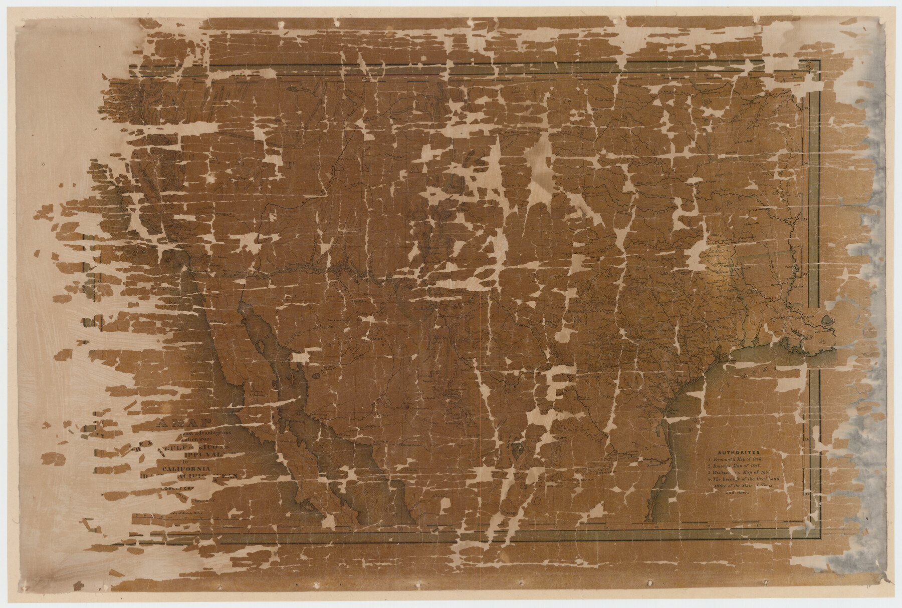
A Map Showing The Most Advantageous Route for Transportation from The Gulf of Mexico and The Mississippi Valley to California and The Pacific Ocean
N-2-72
-
Map/Doc
2088
-
Collection
General Map Collection
-
Object Dates
1849 (Creation Date)
-
People and Organizations
Robert Creuzbaur (Cartographer)
-
Subjects
United States
-
Height x Width
18.8 x 27.8 inches
47.8 x 70.6 cm
-
Comments
Adopted by Robert Young, Howard Barr, Raymond Goodson, Beth Williams with TechTrans International, Inc., George E. Neel, Jr., of Neel Title Corporation, and Freestone County Historical Commission and conservation funded in 2005.
Part of: General Map Collection
Nueces County Sketch File 44

Print $8.00
- Digital $50.00
Nueces County Sketch File 44
1953
Size 11.2 x 8.7 inches
Map/Doc 32637
Loving County Rolled Sketch 8

Print $20.00
- Digital $50.00
Loving County Rolled Sketch 8
1975
Size 30.5 x 17.4 inches
Map/Doc 6639
Leon County Rolled Sketch 31A

Print $20.00
- Digital $50.00
Leon County Rolled Sketch 31A
1995
Size 38.9 x 15.4 inches
Map/Doc 6615
Blanco County Sketch File 2

Print $5.00
- Digital $50.00
Blanco County Sketch File 2
Size 10.3 x 8.5 inches
Map/Doc 14580


A New Map of the United States of America

Print $20.00
- Digital $50.00
A New Map of the United States of America
1850
Size 17.7 x 27.8 inches
Map/Doc 89219
Foard County Sketch File 15

Print $8.00
- Digital $50.00
Foard County Sketch File 15
1883
Size 13.0 x 8.5 inches
Map/Doc 22821
Baylor County Working Sketch 5

Print $20.00
- Digital $50.00
Baylor County Working Sketch 5
1940
Size 11.9 x 30.4 inches
Map/Doc 67290
Flight Mission No. CRC-3R, Frame 96, Chambers County

Print $20.00
- Digital $50.00
Flight Mission No. CRC-3R, Frame 96, Chambers County
1956
Size 18.7 x 22.4 inches
Map/Doc 84834
Hardin County Sketch File 9a

Print $4.00
- Digital $50.00
Hardin County Sketch File 9a
1860
Size 9.9 x 8.4 inches
Map/Doc 25108
Dawson County Sketch File 30

Print $40.00
- Digital $50.00
Dawson County Sketch File 30
1913
Size 13.6 x 9.1 inches
Map/Doc 20594
You may also like
The Mexican Municipality of Sabine. Created, December 15, 1835

Print $20.00
The Mexican Municipality of Sabine. Created, December 15, 1835
2020
Size 22.7 x 21.7 inches
Map/Doc 96031
Freestone County Sketch File 17

Print $4.00
- Digital $50.00
Freestone County Sketch File 17
1859
Size 6.3 x 8.1 inches
Map/Doc 23074
Orange County Sketch File 13

Print $6.00
- Digital $50.00
Orange County Sketch File 13
1885
Size 11.3 x 9.7 inches
Map/Doc 33326
Flight Mission No. DQO-11K, Frame 27, Galveston County

Print $20.00
- Digital $50.00
Flight Mission No. DQO-11K, Frame 27, Galveston County
1952
Size 18.8 x 22.4 inches
Map/Doc 85224
Brazoria County Working Sketch 6

Print $20.00
- Digital $50.00
Brazoria County Working Sketch 6
1922
Size 16.8 x 24.0 inches
Map/Doc 67491
Presidio County Rolled Sketch 44

Print $20.00
- Digital $50.00
Presidio County Rolled Sketch 44
1907
Size 14.3 x 25.3 inches
Map/Doc 7341
Bandera County Working Sketch 16a

Print $20.00
- Digital $50.00
Bandera County Working Sketch 16a
1941
Size 12.8 x 22.1 inches
Map/Doc 67609
Harris County Rolled Sketch 77

Print $20.00
- Digital $50.00
Harris County Rolled Sketch 77
1914
Size 30.0 x 35.6 inches
Map/Doc 6114
Collingsworth County

Print $20.00
- Digital $50.00
Collingsworth County
1899
Size 42.7 x 39.7 inches
Map/Doc 4915
Wichita County Sketch File 16

Print $4.00
- Digital $50.00
Wichita County Sketch File 16
1890
Size 12.9 x 8.9 inches
Map/Doc 40095
Wheeler County Rolled Sketch 3

Print $20.00
- Digital $50.00
Wheeler County Rolled Sketch 3
Size 31.9 x 21.9 inches
Map/Doc 8239
Map of Hamilton County

Print $20.00
- Digital $50.00
Map of Hamilton County
1872
Size 15.0 x 21.9 inches
Map/Doc 4557