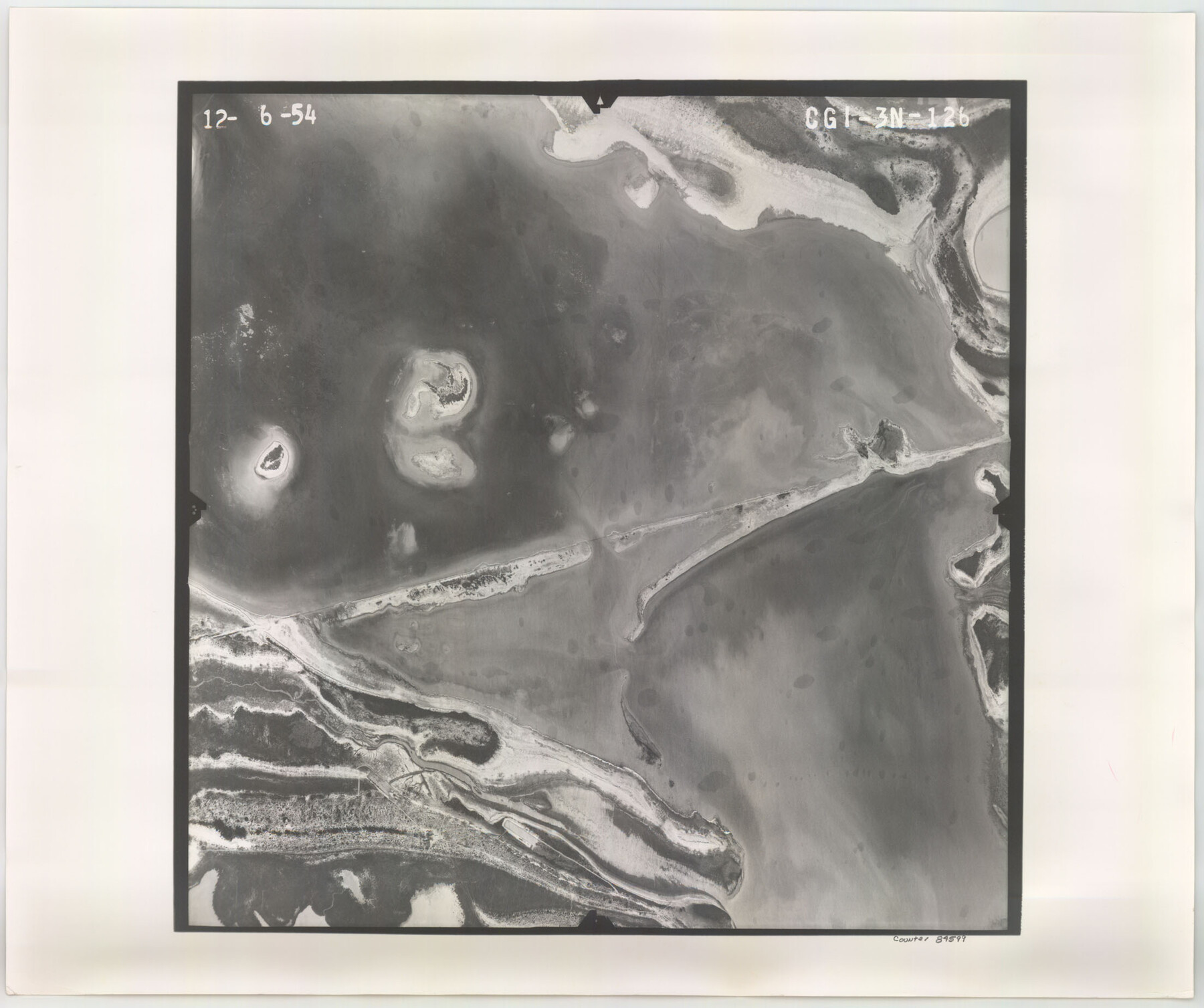
Flight Mission No. CGI-3N, Frame 126, Cameron County
CGI-3N-126
-
Map/Doc
84599
-
Collection
General Map Collection
-
Object Dates
1954/12/6 (Creation Date)
-
People and Organizations
U. S. Department of Agriculture (Publisher)
-
Counties
Cameron
-
Subjects
Aerial Photograph
-
Height x Width
18.5 x 22.1 inches
47.0 x 56.1 cm
-
Comments
Flown by Puckett Aerial Surveys, Inc. of Jackson, Mississippi.
Part of: General Map Collection
Trinity River, Levee Improvement Districts, Widths of Floodways

Print $4.00
- Digital $50.00
Trinity River, Levee Improvement Districts, Widths of Floodways
1919
Size 23.5 x 17.6 inches
Map/Doc 65250
Shackelford County Sketch File 10

Print $20.00
- Digital $50.00
Shackelford County Sketch File 10
1918
Size 31.4 x 19.9 inches
Map/Doc 12316
Fractional Township No. 7 South Range No. 5 West of the Indian Meridian, Indian Territory

Print $20.00
- Digital $50.00
Fractional Township No. 7 South Range No. 5 West of the Indian Meridian, Indian Territory
1898
Size 19.1 x 24.4 inches
Map/Doc 75189
Crockett County Rolled Sketch 97

Print $20.00
- Digital $50.00
Crockett County Rolled Sketch 97
2013
Size 22.9 x 24.8 inches
Map/Doc 93664
Nueces County Sketch File 25B

Print $20.00
- Digital $50.00
Nueces County Sketch File 25B
1894
Size 17.6 x 24.6 inches
Map/Doc 42183
Liberty County Sketch File 55

Print $22.00
- Digital $50.00
Liberty County Sketch File 55
Size 14.3 x 8.8 inches
Map/Doc 30049
Bell County Sketch File 25

Print $8.00
- Digital $50.00
Bell County Sketch File 25
Size 5.1 x 5.3 inches
Map/Doc 14420
Webb County Rolled Sketch 65

Print $20.00
- Digital $50.00
Webb County Rolled Sketch 65
1949
Size 37.1 x 24.3 inches
Map/Doc 8214
Hill County Sketch File 4

Print $8.00
- Digital $50.00
Hill County Sketch File 4
1859
Size 14.1 x 8.0 inches
Map/Doc 26464
Stephens County Sketch File 24

Print $5.00
- Digital $50.00
Stephens County Sketch File 24
1952
Size 24.5 x 32.5 inches
Map/Doc 12354
Galveston County NRC Article 33.136 Sketch 8

Print $20.00
- Digital $50.00
Galveston County NRC Article 33.136 Sketch 8
2002
Size 32.3 x 26.0 inches
Map/Doc 61590
Chambers County

Print $20.00
- Digital $50.00
Chambers County
1862
Size 20.2 x 27.8 inches
Map/Doc 3381
You may also like
Flight Mission No. CRK-3P, Frame 65, Refugio County

Print $20.00
- Digital $50.00
Flight Mission No. CRK-3P, Frame 65, Refugio County
1956
Size 18.5 x 22.4 inches
Map/Doc 86907
[North part of G. C. & S. F. Block OP, Runnels County School Land and Blks. AB, CD and GH]
![90310, [North part of G. C. & S. F. Block OP, Runnels County School Land and Blks. AB, CD and GH], Twichell Survey Records](https://historictexasmaps.com/wmedia_w700/maps/90310-1.tif.jpg)
Print $20.00
- Digital $50.00
[North part of G. C. & S. F. Block OP, Runnels County School Land and Blks. AB, CD and GH]
Size 17.5 x 22.4 inches
Map/Doc 90310
Kinney County Working Sketch 41

Print $20.00
- Digital $50.00
Kinney County Working Sketch 41
1973
Size 36.2 x 44.2 inches
Map/Doc 70223
New Map of the State of Texas Compiled from J. De Cordova's large Map

Print $20.00
- Digital $50.00
New Map of the State of Texas Compiled from J. De Cordova's large Map
1856
Size 17.5 x 27.0 inches
Map/Doc 76172
Revised Plat, Section J, Tech Memorial Park, Inc., Infants Garden

Print $20.00
- Digital $50.00
Revised Plat, Section J, Tech Memorial Park, Inc., Infants Garden
1961
Size 29.1 x 33.7 inches
Map/Doc 92786
Flight Mission No. DCL-7C, Frame 120, Kenedy County

Print $20.00
- Digital $50.00
Flight Mission No. DCL-7C, Frame 120, Kenedy County
1943
Size 18.5 x 22.4 inches
Map/Doc 86085
Winkler County Rolled Sketch 12

Print $20.00
- Digital $50.00
Winkler County Rolled Sketch 12
1965
Size 24.9 x 18.5 inches
Map/Doc 8279
Fannin County Rolled Sketch 18F

Print $2.00
- Digital $50.00
Fannin County Rolled Sketch 18F
Size 8.9 x 8.2 inches
Map/Doc 5873
General Highway Map, Concho County, Texas

Print $20.00
General Highway Map, Concho County, Texas
1940
Size 25.2 x 18.6 inches
Map/Doc 79057
Randall County Rolled Sketch 1

Print $20.00
- Digital $50.00
Randall County Rolled Sketch 1
1889
Size 21.1 x 35.1 inches
Map/Doc 9807
Chipman's Map of Briscoe, Hall, Motley, Cottle Counties

Print $40.00
- Digital $50.00
Chipman's Map of Briscoe, Hall, Motley, Cottle Counties
1911
Size 54.7 x 92.6 inches
Map/Doc 2051
[Sketch Showing Surveys in Schleicher, Menard & Concho Counties, Texas]
![75782, [Sketch Showing Surveys in Schleicher, Menard & Concho Counties, Texas], Maddox Collection](https://historictexasmaps.com/wmedia_w700/maps/75782.tif.jpg)
Print $20.00
- Digital $50.00
[Sketch Showing Surveys in Schleicher, Menard & Concho Counties, Texas]
Size 16.1 x 28.9 inches
Map/Doc 75782