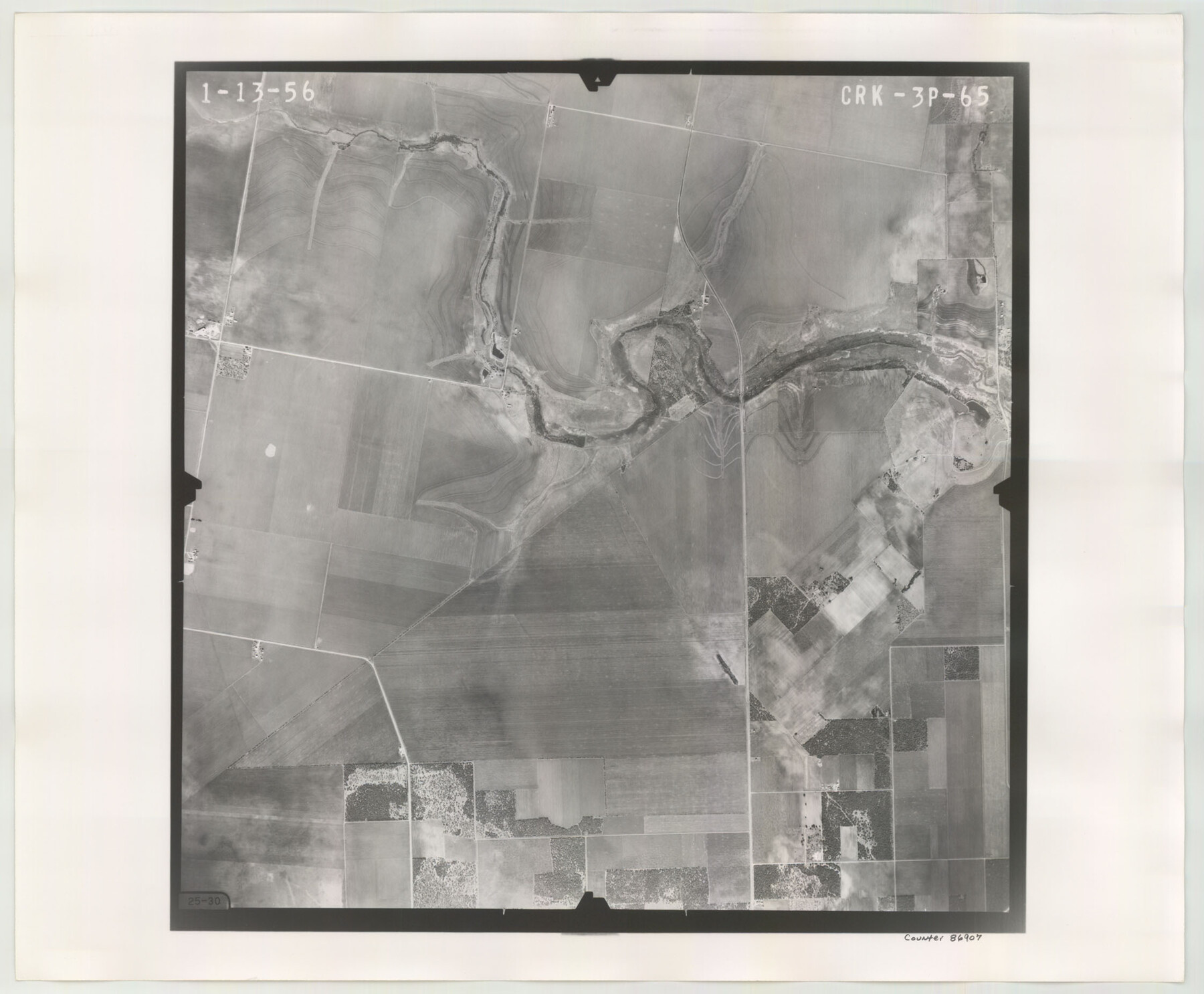
Flight Mission No. CRK-3P, Frame 65, Refugio County
CRK-3P-65
-
Map/Doc
86907
-
Collection
General Map Collection
-
Object Dates
1956/1/13 (Creation Date)
-
People and Organizations
U. S. Department of Agriculture (Publisher)
-
Counties
Refugio
-
Subjects
Aerial Photograph
-
Height x Width
18.5 x 22.4 inches
47.0 x 56.9 cm
-
Comments
Flown by V. L. Beavers and Associates of San Antonio, Texas.
Part of: General Map Collection
Edwards County Working Sketch 94

Print $40.00
- Digital $50.00
Edwards County Working Sketch 94
1968
Size 28.0 x 49.4 inches
Map/Doc 68970
Runnels County Rolled Sketch 34

Print $20.00
- Digital $50.00
Runnels County Rolled Sketch 34
Size 30.1 x 35.1 inches
Map/Doc 7522
Map of Ramsey State Farm

Print $20.00
- Digital $50.00
Map of Ramsey State Farm
1934
Size 30.3 x 38.0 inches
Map/Doc 94284
San Augustine County Sketch File 6

Print $4.00
San Augustine County Sketch File 6
1858
Size 6.4 x 7.7 inches
Map/Doc 35644

Terrell County Sketch File 24a

Print $20.00
- Digital $50.00
Terrell County Sketch File 24a
1932
Size 30.4 x 42.2 inches
Map/Doc 10388
Brazos River, Brazos River Sheet 5

Print $20.00
- Digital $50.00
Brazos River, Brazos River Sheet 5
1926
Size 27.4 x 21.7 inches
Map/Doc 69669
Jeff Davis County Working Sketch 27

Print $20.00
- Digital $50.00
Jeff Davis County Working Sketch 27
1960
Size 18.1 x 24.3 inches
Map/Doc 66522
Cass County Working Sketch 8

Print $20.00
- Digital $50.00
Cass County Working Sketch 8
1937
Size 20.2 x 16.1 inches
Map/Doc 67911
Map of Briscoe County

Print $20.00
- Digital $50.00
Map of Briscoe County
1901
Size 42.0 x 35.0 inches
Map/Doc 4758
Presidio County Working Sketch 45

Print $20.00
- Digital $50.00
Presidio County Working Sketch 45
Size 25.2 x 20.0 inches
Map/Doc 71722
Val Verde County Working Sketch 58

Print $20.00
- Digital $50.00
Val Verde County Working Sketch 58
1958
Size 21.0 x 22.8 inches
Map/Doc 72193
You may also like
Travis County Working Sketch 47

Print $40.00
- Digital $50.00
Travis County Working Sketch 47
1981
Size 55.5 x 41.8 inches
Map/Doc 69431
Navigation Maps of Gulf Intracoastal Waterway, Port Arthur to Brownsville, Texas

Print $20.00
- Digital $50.00
Navigation Maps of Gulf Intracoastal Waterway, Port Arthur to Brownsville, Texas
1951
Size 16.7 x 21.4 inches
Map/Doc 65417
Armstrong County Working Sketch 3

Print $20.00
- Digital $50.00
Armstrong County Working Sketch 3
1904
Size 46.1 x 40.8 inches
Map/Doc 67234
Aransas County Boundary File 4

Print $30.00
- Digital $50.00
Aransas County Boundary File 4
Size 9.2 x 7.8 inches
Map/Doc 49790
Texas Gulf Coast Map from the Sabine River to the Rio Grande as subdivided for mineral development

Print $40.00
- Digital $50.00
Texas Gulf Coast Map from the Sabine River to the Rio Grande as subdivided for mineral development
1948
Size 49.2 x 73.7 inches
Map/Doc 2905
Corpus Christi Pass, Texas

Print $20.00
- Digital $50.00
Corpus Christi Pass, Texas
1871
Size 26.1 x 18.2 inches
Map/Doc 72980
[The S.K. Ry. of Texas, State Line to Pecos, Reeves Co., Texas]
![64164, [The S.K. Ry. of Texas, State Line to Pecos, Reeves Co., Texas], General Map Collection](https://historictexasmaps.com/wmedia_w700/maps/64164-1.tif.jpg)
Print $40.00
- Digital $50.00
[The S.K. Ry. of Texas, State Line to Pecos, Reeves Co., Texas]
1910
Size 18.7 x 95.8 inches
Map/Doc 64164
Calhoun County Working Sketch 2a

Print $20.00
- Digital $50.00
Calhoun County Working Sketch 2a
1913
Size 17.4 x 20.1 inches
Map/Doc 67817
Official Highway Map of the State of Vermont

Print $20.00
- Digital $50.00
Official Highway Map of the State of Vermont
1923
Size 44.8 x 28.6 inches
Map/Doc 97112
[H. & G.N. RR. Co. Block 4 and vicinity]
![92160, [H. & G.N. RR. Co. Block 4 and vicinity], Twichell Survey Records](https://historictexasmaps.com/wmedia_w700/maps/92160-1.tif.jpg)
Print $20.00
- Digital $50.00
[H. & G.N. RR. Co. Block 4 and vicinity]
Size 40.8 x 37.4 inches
Map/Doc 92160
Dallas County Boundary File 8 and 8a

Print $16.00
- Digital $50.00
Dallas County Boundary File 8 and 8a
Size 11.3 x 8.6 inches
Map/Doc 52304
[Right of Way & Track Map, The Texas & Pacific Ry. Co. Main Line]
![64668, [Right of Way & Track Map, The Texas & Pacific Ry. Co. Main Line], General Map Collection](https://historictexasmaps.com/wmedia_w700/maps/64668.tif.jpg)
Print $20.00
- Digital $50.00
[Right of Way & Track Map, The Texas & Pacific Ry. Co. Main Line]
Size 11.0 x 18.4 inches
Map/Doc 64668