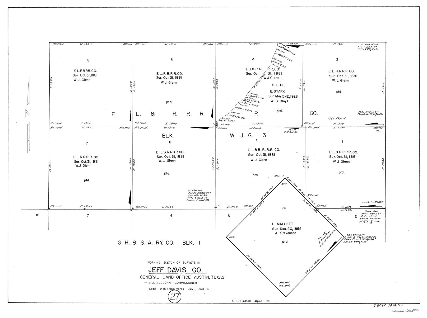
Jeff Davis County Working Sketch 27
-
Map/Doc
66522
-
Collection
General Map Collection
-
Object Dates
7/1/1960 (Creation Date)
-
Counties
Jeff Davis
-
Subjects
Surveying Working Sketch
-
Height x Width
18.1 x 24.3 inches
46.0 x 61.7 cm
-
Scale
1" = 400 varas
Part of: General Map Collection
Flight Mission No. BRA-8M, Frame 79, Jefferson County

Print $20.00
- Digital $50.00
Flight Mission No. BRA-8M, Frame 79, Jefferson County
1953
Size 15.8 x 15.5 inches
Map/Doc 85599
Wichita County Sketch File 26

Print $20.00
- Digital $50.00
Wichita County Sketch File 26
1919
Size 24.9 x 36.6 inches
Map/Doc 12686
Presidio County Working Sketch 105

Print $20.00
- Digital $50.00
Presidio County Working Sketch 105
1980
Size 27.5 x 27.5 inches
Map/Doc 71782
Flight Mission No. BRA-7M, Frame 119, Jefferson County

Print $20.00
- Digital $50.00
Flight Mission No. BRA-7M, Frame 119, Jefferson County
1953
Size 18.5 x 22.4 inches
Map/Doc 85513
Map showing survey for proposed ship channel from Brownsville to Brazos Santiago Pass

Print $20.00
- Digital $50.00
Map showing survey for proposed ship channel from Brownsville to Brazos Santiago Pass
1912
Size 18.2 x 26.9 inches
Map/Doc 72898
Map of section no. 3 of a survey of Padre Island made for the Office of the Attorney General of the State of Texas

Print $40.00
- Digital $50.00
Map of section no. 3 of a survey of Padre Island made for the Office of the Attorney General of the State of Texas
1941
Size 49.6 x 40.2 inches
Map/Doc 2259
Ochiltree County Boundary File 1b

Print $16.00
- Digital $50.00
Ochiltree County Boundary File 1b
Size 8.6 x 8.4 inches
Map/Doc 57666
Concho County Working Sketch 12

Print $20.00
- Digital $50.00
Concho County Working Sketch 12
1951
Size 23.0 x 27.2 inches
Map/Doc 68194
Port Series No. 6 - The Ports of Galveston, Houston, and Texas City, Texas

Port Series No. 6 - The Ports of Galveston, Houston, and Texas City, Texas
1924
Map/Doc 97159
Orange County Sketch File 4a

Print $22.00
- Digital $50.00
Orange County Sketch File 4a
1874
Size 16.0 x 13.0 inches
Map/Doc 33309
Layout of the porciones as described in the Visita General of Reynosa, 1767

Layout of the porciones as described in the Visita General of Reynosa, 1767
2009
Size 11.0 x 8.5 inches
Map/Doc 94045
South Part Presidio County

Print $20.00
- Digital $50.00
South Part Presidio County
1975
Size 34.0 x 39.3 inches
Map/Doc 73266
You may also like
Rio Grande, Hargill Sheet

Print $20.00
- Digital $50.00
Rio Grande, Hargill Sheet
1937
Size 37.3 x 37.8 inches
Map/Doc 65109
Jack County Sketch File 15a

Print $6.00
- Digital $50.00
Jack County Sketch File 15a
1875
Size 14.7 x 10.2 inches
Map/Doc 27547
Amérique Septentrionale

Print $20.00
Amérique Septentrionale
1845
Size 13.8 x 20.3 inches
Map/Doc 94571
Chambers County NRC Article 33.136 Sketch 10

Print $44.00
- Digital $50.00
Chambers County NRC Article 33.136 Sketch 10
2014
Size 24.0 x 36.0 inches
Map/Doc 94498
Flight Mission No. DQN-2K, Frame 28, Calhoun County

Print $20.00
- Digital $50.00
Flight Mission No. DQN-2K, Frame 28, Calhoun County
1953
Size 18.6 x 22.2 inches
Map/Doc 84235
Harris County Sketch File 107

Print $18.00
- Digital $50.00
Harris County Sketch File 107
1996
Size 11.2 x 8.7 inches
Map/Doc 26015
Live Oak County Working Sketch 20

Print $20.00
- Digital $50.00
Live Oak County Working Sketch 20
1962
Size 29.7 x 35.7 inches
Map/Doc 70605
Robertson County Sketch File 3

Print $22.00
- Digital $50.00
Robertson County Sketch File 3
1860
Size 12.6 x 15.8 inches
Map/Doc 35350
Map of Galveston West Bay, Galveston Island & Chocolate Bay

Print $40.00
- Digital $50.00
Map of Galveston West Bay, Galveston Island & Chocolate Bay
1852
Size 50.5 x 29.9 inches
Map/Doc 69924
Newton County Aerial Photograph Index Sheet 5

Print $20.00
- Digital $50.00
Newton County Aerial Photograph Index Sheet 5
1953
Size 24.1 x 17.7 inches
Map/Doc 83734
Ochiltree County Working Sketch 8

Print $20.00
- Digital $50.00
Ochiltree County Working Sketch 8
1982
Size 23.4 x 20.8 inches
Map/Doc 71321
Sutton County Sketch File 53

Print $6.00
- Digital $50.00
Sutton County Sketch File 53
1948
Size 11.5 x 10.2 inches
Map/Doc 37532