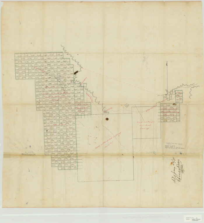
Jeff Davis County Sketch File 6
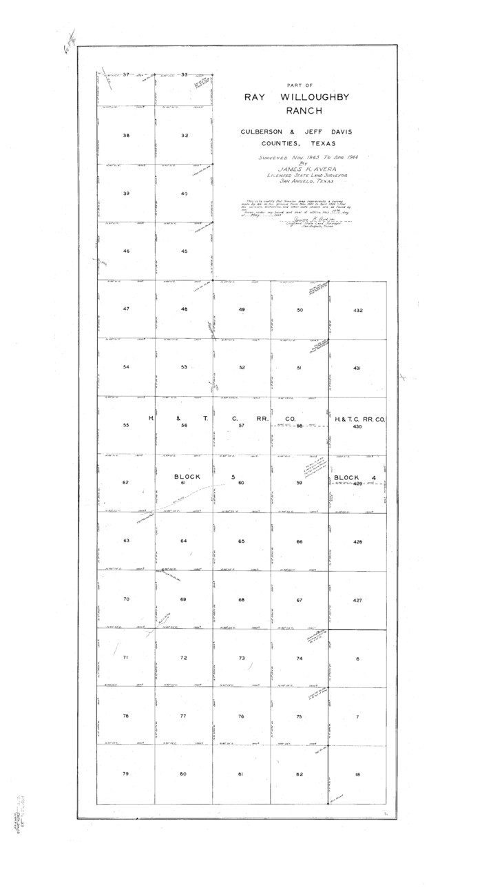
Jeff Davis County Sketch File 33
1944
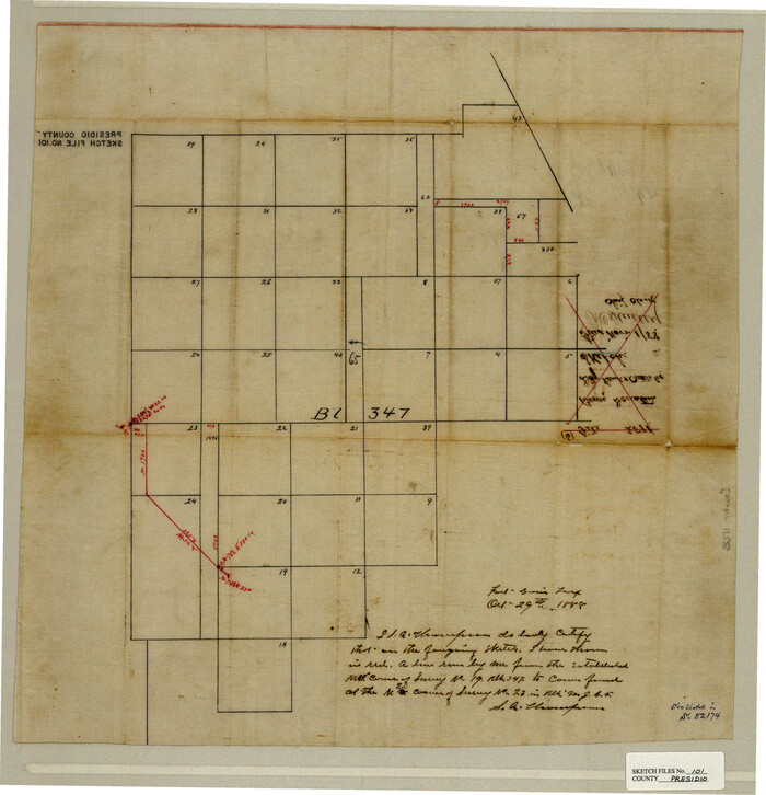
Presidio County Sketch File 101
1888
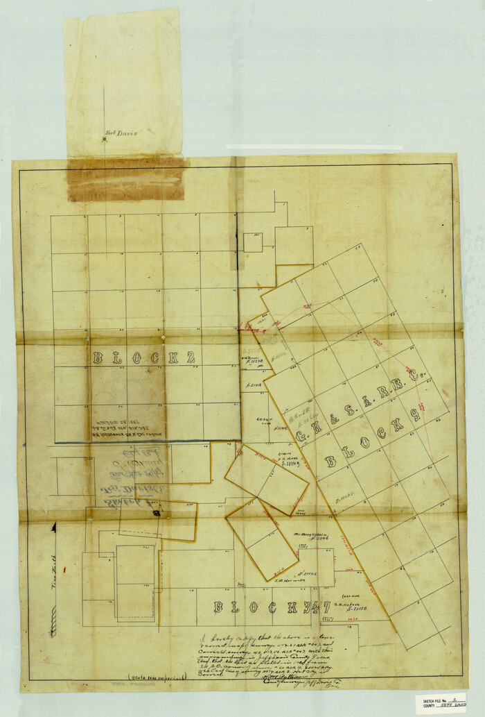
Jeff Davis County Sketch File 1
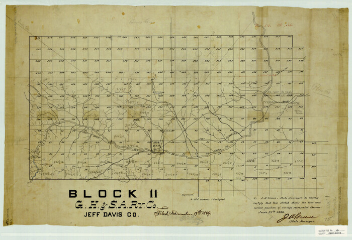
Jeff Davis County Sketch File 8
1889

Jeff Davis County Sketch File 11
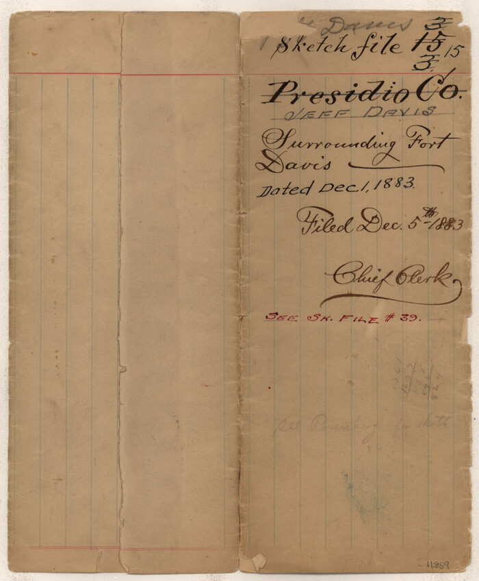
Jeff Davis County Sketch File 15
1883

Jeff Davis County Sketch File 22
1923
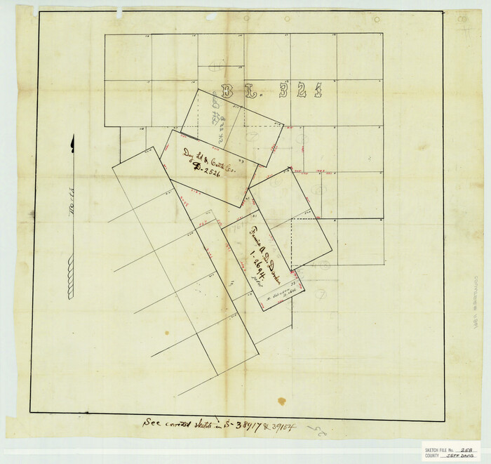
Jeff Davis County Sketch File 25b

Jeff Davis County Sketch File 27
1915

Jeff Davis County Sketch File 32

Jeff Davis County Sketch File 35
1950
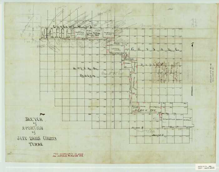
Jeff Davis County Sketch File 42

Culberson County Sketch File 7
1888

Culberson County Sketch File 18
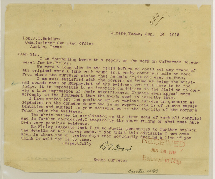
Culberson County Sketch File D
1915
Culberson County Sketch File 20
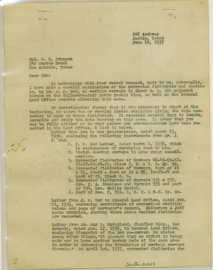
Culberson County Sketch File 21
1937

Culberson County Sketch File 22
1934
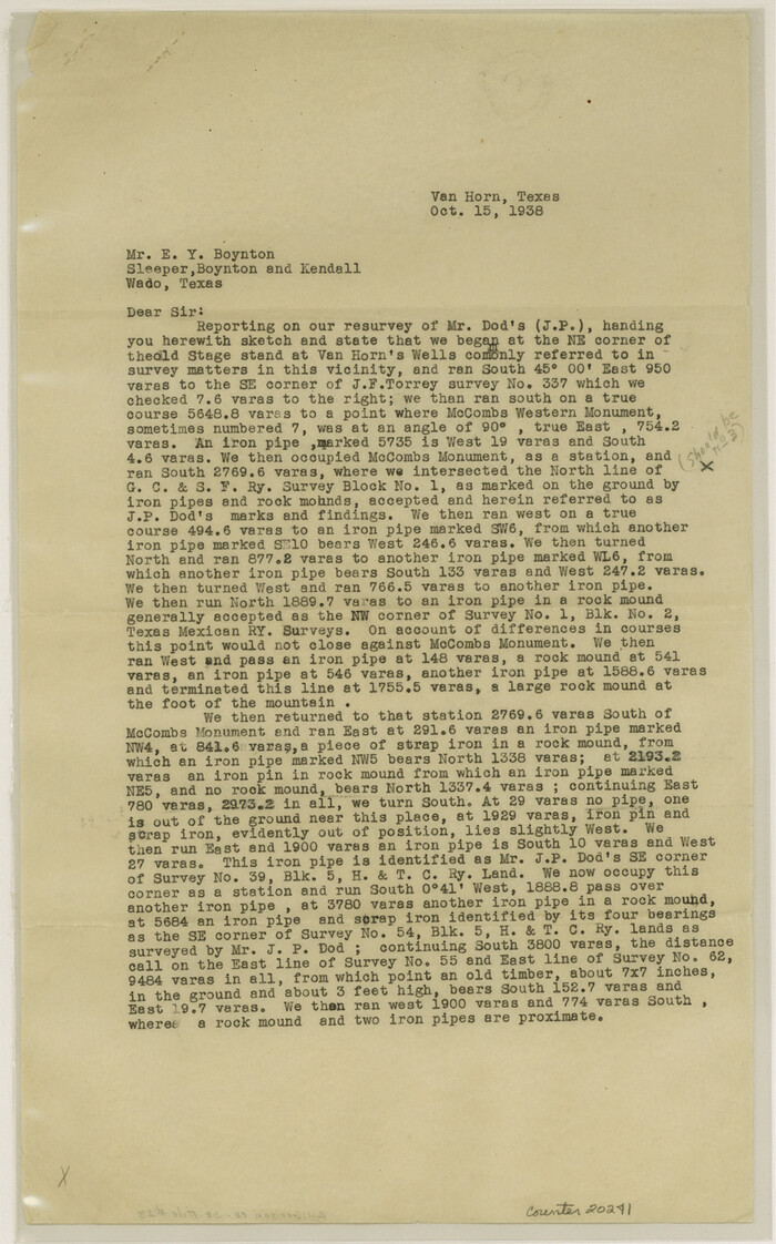
Culberson County Sketch File 23
1938

El Paso County Sketch File 32
1983

Kuechler's Corners, Texas & Pacific Ry. Co. 80 Mile Reserve
1934
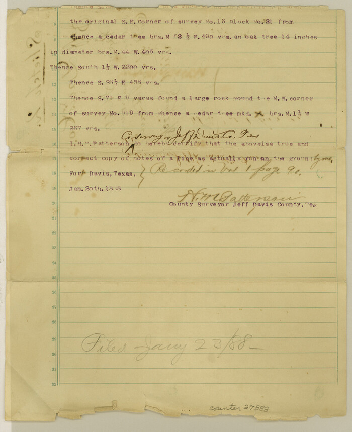
Jeff Davis County Sketch File 2
1888
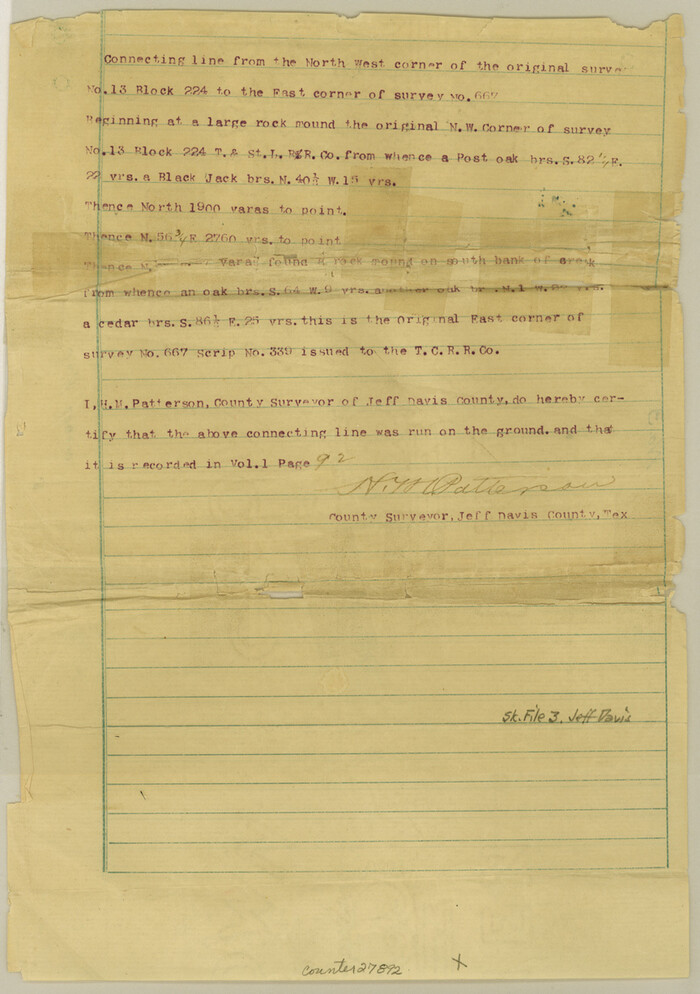
Jeff Davis County Sketch File 3

Jeff Davis County Sketch File 4
1889

Jeff Davis County Sketch File 7
1879
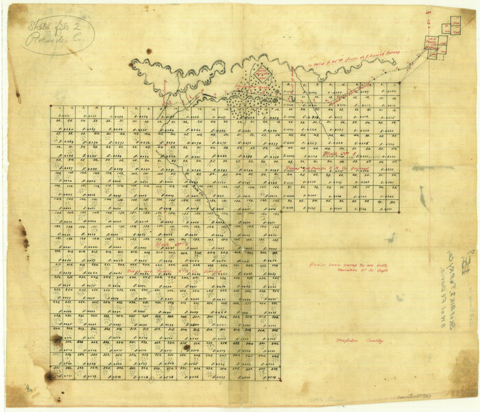
Jeff Davis County Sketch File 9
Jeff Davis County Sketch File 12
1920

Jeff Davis County Sketch File 13
1889
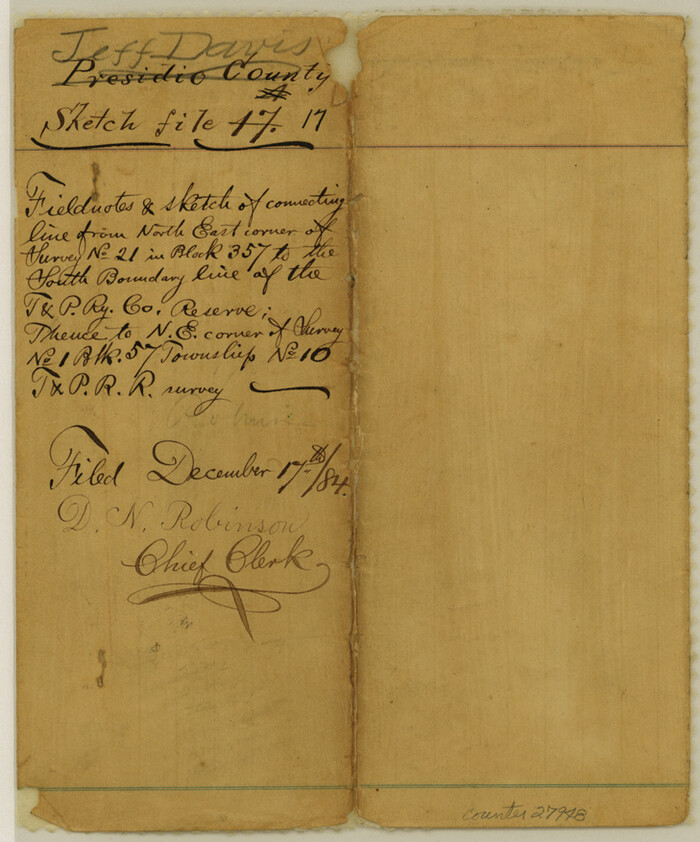
Jeff Davis County Sketch File 17
1884

Jeff Davis County Sketch File 6
-
Size
33.0 x 30.2 inches
-
Map/Doc
10506

Jeff Davis County Sketch File 33
1944
-
Size
48.2 x 26.0 inches
-
Map/Doc
10507
-
Creation Date
1944

Presidio County Sketch File 101
1888
-
Size
21.1 x 20.3 inches
-
Map/Doc
11725
-
Creation Date
1888

Jeff Davis County Sketch File 1
-
Size
35.8 x 24.2 inches
-
Map/Doc
11855

Jeff Davis County Sketch File 8
1889
-
Size
19.5 x 28.5 inches
-
Map/Doc
11857
-
Creation Date
1889

Jeff Davis County Sketch File 11
-
Size
17.7 x 29.9 inches
-
Map/Doc
11858

Jeff Davis County Sketch File 15
1883
-
Size
28.5 x 18.9 inches
-
Map/Doc
11859
-
Creation Date
1883

Jeff Davis County Sketch File 22
1923
-
Size
19.4 x 25.0 inches
-
Map/Doc
11860
-
Creation Date
1923

Jeff Davis County Sketch File 25b
-
Size
18.9 x 20.0 inches
-
Map/Doc
11861

Jeff Davis County Sketch File 27
1915
-
Size
18.8 x 25.5 inches
-
Map/Doc
11862
-
Creation Date
1915

Jeff Davis County Sketch File 32
-
Size
23.8 x 18.8 inches
-
Map/Doc
11865

Jeff Davis County Sketch File 35
1950
-
Size
20.6 x 19.2 inches
-
Map/Doc
11866
-
Creation Date
1950

Jeff Davis County Sketch File 42
-
Size
21.8 x 27.9 inches
-
Map/Doc
11867

Culberson County Sketch File 7
1888
-
Size
14.5 x 8.8 inches
-
Map/Doc
20138
-
Creation Date
1888

Culberson County Sketch File 18
-
Size
14.3 x 8.8 inches
-
Map/Doc
20185

Culberson County Sketch File D
1915
-
Size
7.4 x 8.8 inches
-
Map/Doc
20189
-
Creation Date
1915

Culberson County Sketch File 20
-
Size
10.2 x 15.6 inches
-
Map/Doc
20205

Culberson County Sketch File 21
1937
-
Size
11.2 x 8.8 inches
-
Map/Doc
20224
-
Creation Date
1937

Culberson County Sketch File 22
1934
-
Size
11.8 x 8.8 inches
-
Map/Doc
20234
-
Creation Date
1934

Culberson County Sketch File 23
1938
-
Size
14.2 x 8.6 inches
-
Map/Doc
20238
-
Creation Date
1938

El Paso County Sketch File 32
1983
-
Size
14.3 x 8.9 inches
-
Map/Doc
22124
-
Creation Date
1983

Kuechler's Corners, Texas & Pacific Ry. Co. 80 Mile Reserve
1934
-
Size
11.0 x 8.5 inches
-
Map/Doc
2248
-
Creation Date
1934

Jeff Davis County Sketch File 2
1888
-
Size
10.7 x 8.8 inches
-
Map/Doc
27888
-
Creation Date
1888

Jeff Davis County Sketch File 3
-
Size
12.3 x 8.6 inches
-
Map/Doc
27892

Jeff Davis County Sketch File 4
1889
-
Size
12.5 x 14.7 inches
-
Map/Doc
27893
-
Creation Date
1889

Jeff Davis County Sketch File 7
1879
-
Size
12.8 x 8.1 inches
-
Map/Doc
27905
-
Creation Date
1879

Jeff Davis County Sketch File 9
-
Size
15.1 x 17.6 inches
-
Map/Doc
27920

Jeff Davis County Sketch File 12
1920
-
Size
14.6 x 9.1 inches
-
Map/Doc
27922
-
Creation Date
1920

Jeff Davis County Sketch File 13
1889
-
Size
13.9 x 8.5 inches
-
Map/Doc
27941
-
Creation Date
1889

Jeff Davis County Sketch File 17
1884
-
Size
8.8 x 7.3 inches
-
Map/Doc
27948
-
Creation Date
1884