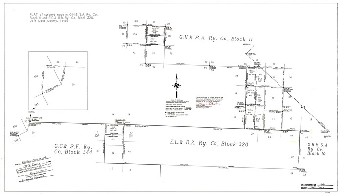
Jeff Davis County Rolled Sketch 44
2014
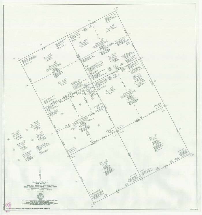
Jeff Davis County Working Sketch 49
2008
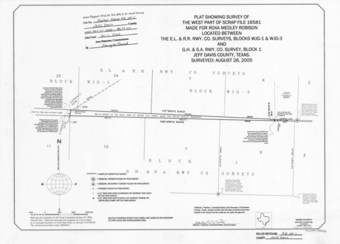
Jeff Davis County Rolled Sketch 46
2006
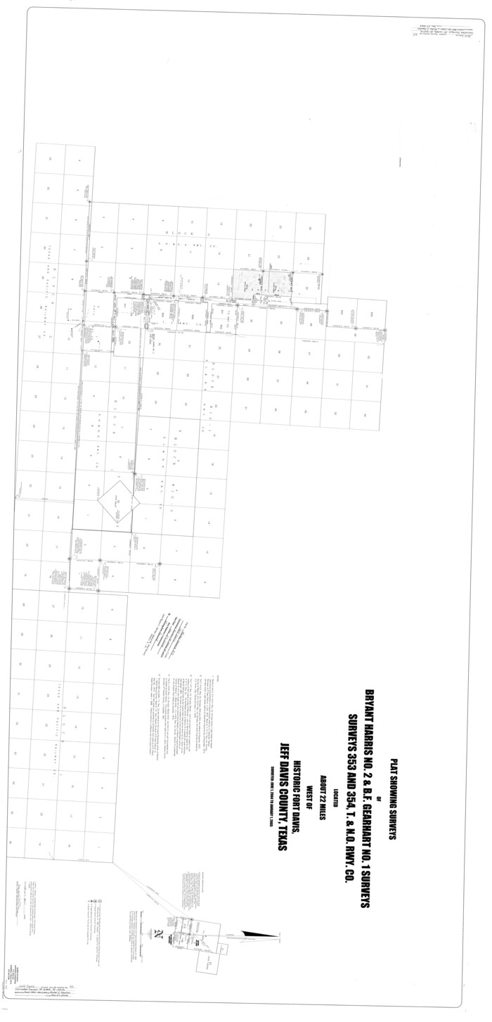
Jeff Davis County Rolled Sketch 45
2005
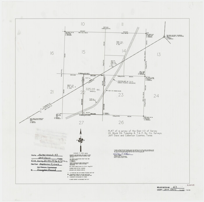
Jeff Davis County Rolled Sketch 43
2002
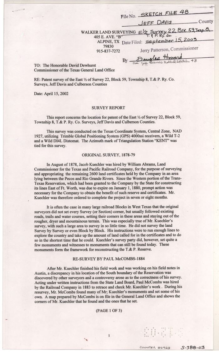
Jeff Davis County Sketch File 48
2002
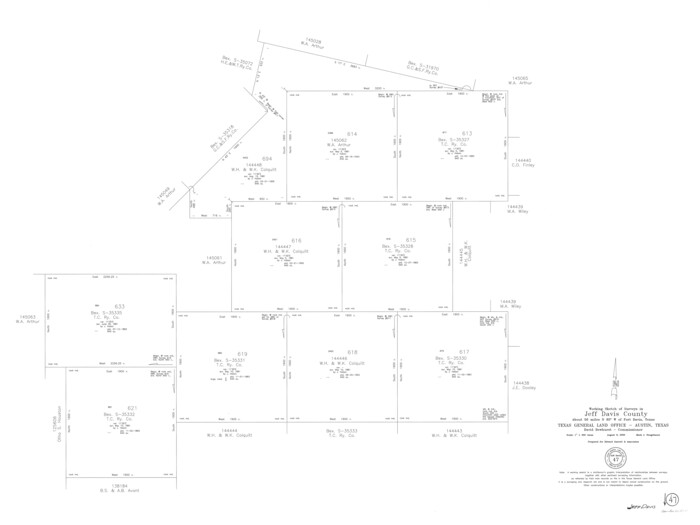
Jeff Davis County Working Sketch 47
2000
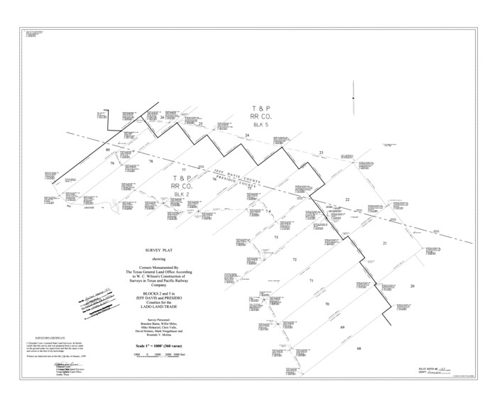
Presidio County Rolled Sketch 137
1999
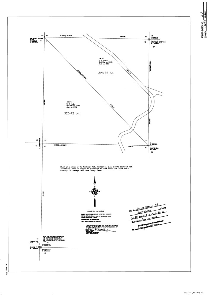
Jeff Davis County Rolled Sketch 42
1998
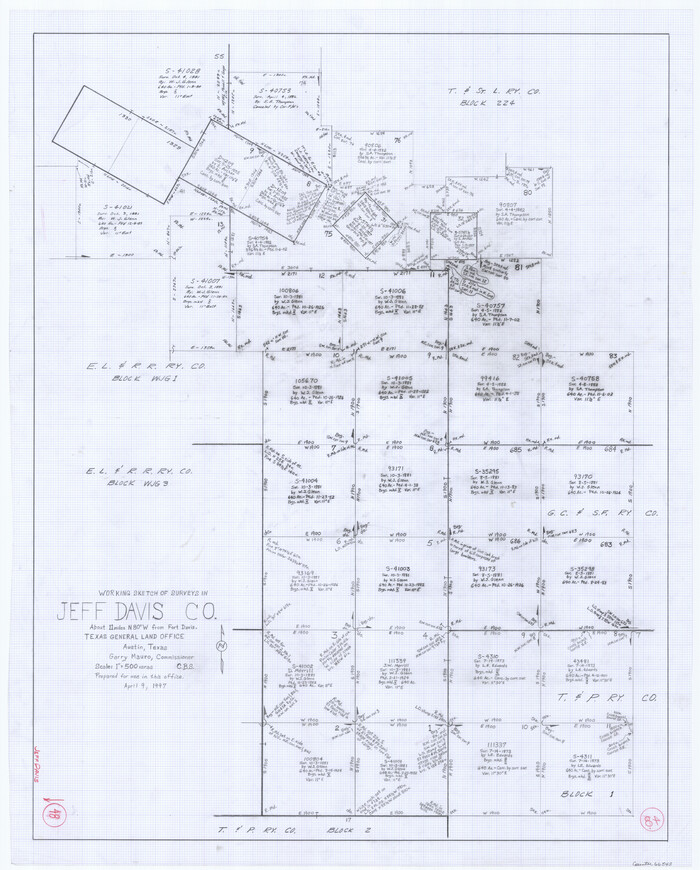
Jeff Davis County Working Sketch 48
1997
Jeff Davis County Sketch File 47
1996
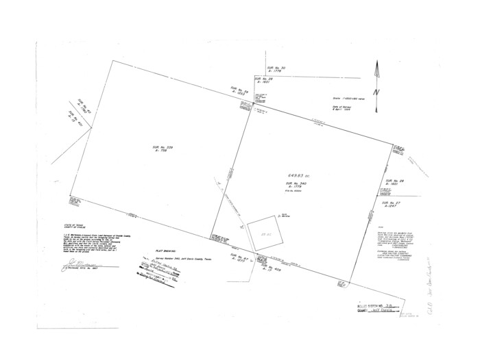
Jeff Davis County Rolled Sketch 38
1994
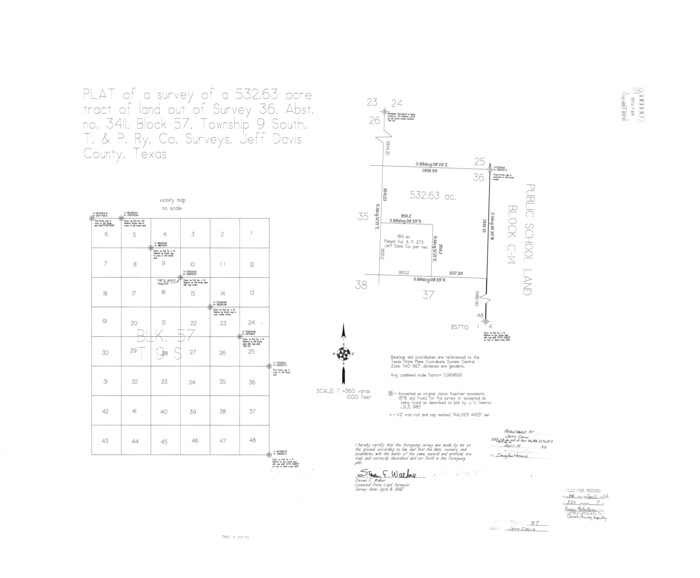
Jeff Davis County Rolled Sketch 37
1992
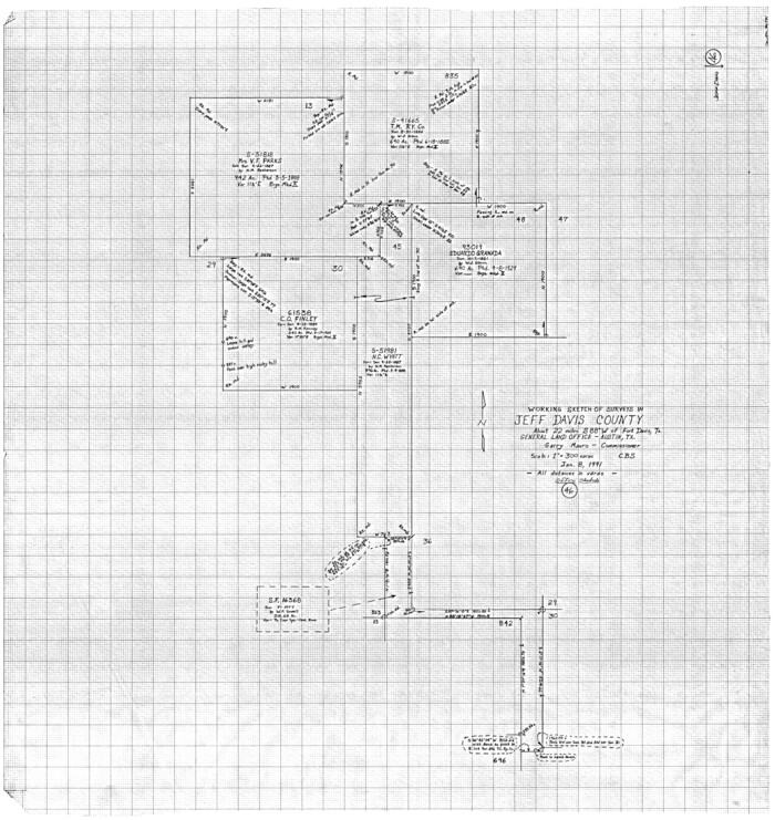
Jeff Davis County Working Sketch 46
1991
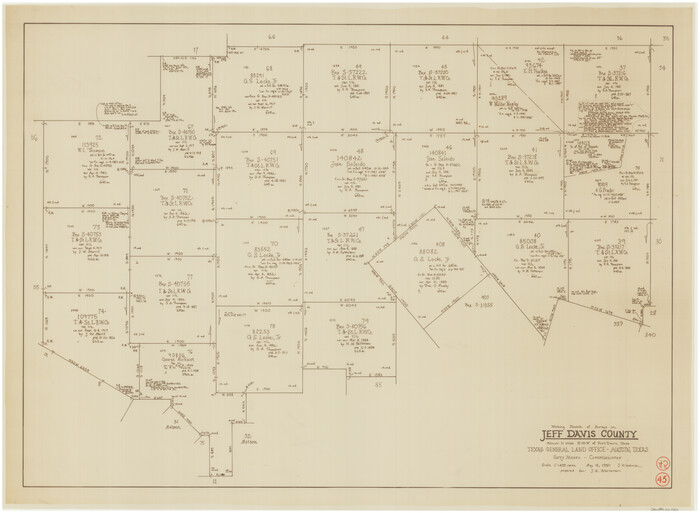
Jeff Davis County Working Sketch 45
1990

Jeff Davis County Rolled Sketch 33
1986
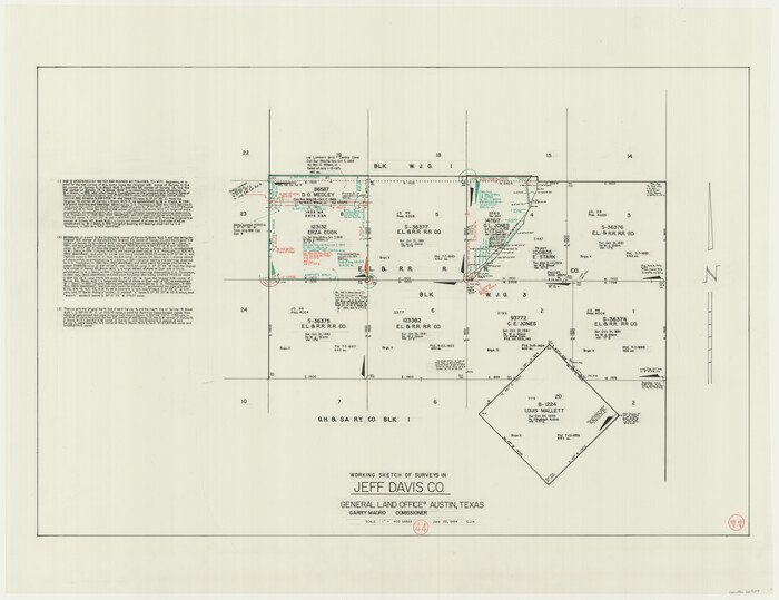
Jeff Davis County Working Sketch 44
1984

Jeff Davis County Rolled Sketch 32
1984
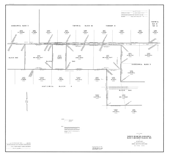
Jeff Davis County Rolled Sketch 31
1983

El Paso County Sketch File 32
1983

Jeff Davis County Working Sketch 43
1983
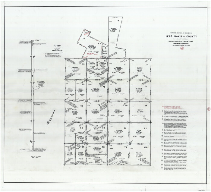
Jeff Davis County Working Sketch 42
1983
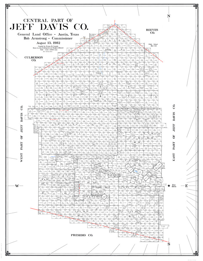
Central Part of Jeff Davis Co.
1982

Jeff Davis County Working Sketch Graphic Index - central part
1982

Central Part of Jeff Davis Co.
1982

Central Part of Jeff Davis Co.
1982

Hudspeth County Rolled Sketch 60
1982
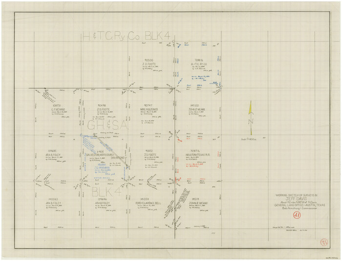
Jeff Davis County Working Sketch 41
1981
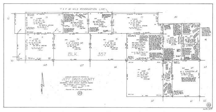
Jeff Davis County Working Sketch 40
1981

Jeff Davis County Working Sketch 39
1981

Jeff Davis County Rolled Sketch 44
2014
-
Size
19.8 x 34.7 inches
-
Map/Doc
94243
-
Creation Date
2014

Jeff Davis County Working Sketch 49
2008
-
Size
38.0 x 35.7 inches
-
Map/Doc
88816
-
Creation Date
2008

Jeff Davis County Rolled Sketch 46
2006
-
Size
17.5 x 24.0 inches
-
Map/Doc
87213
-
Creation Date
2006

Jeff Davis County Rolled Sketch 45
2005
-
Size
91.3 x 44.0 inches
-
Map/Doc
87207
-
Creation Date
2005

Jeff Davis County Rolled Sketch 43
2002
-
Size
24.2 x 24.4 inches
-
Map/Doc
78648
-
Creation Date
2002

Jeff Davis County Sketch File 48
2002
-
Size
14.0 x 8.5 inches
-
Map/Doc
82923
-
Creation Date
2002

Jeff Davis County Working Sketch 47
2000
-
Size
30.1 x 40.1 inches
-
Map/Doc
66542
-
Creation Date
2000

Presidio County Rolled Sketch 137
1999
-
Size
38.7 x 47.9 inches
-
Map/Doc
8352
-
Creation Date
1999

Jeff Davis County Rolled Sketch 42
1998
-
Size
26.8 x 18.9 inches
-
Map/Doc
76415
-
Creation Date
1998

Jeff Davis County Working Sketch 48
1997
-
Size
35.6 x 28.7 inches
-
Map/Doc
66543
-
Creation Date
1997

Jeff Davis County Sketch File 47
1996
-
Size
4.3 x 9.7 inches
-
Map/Doc
28084
-
Creation Date
1996

Jeff Davis County Rolled Sketch 38
1994
-
Size
26.1 x 35.1 inches
-
Map/Doc
6381
-
Creation Date
1994

Jeff Davis County Rolled Sketch 37
1992
-
Size
29.3 x 35.5 inches
-
Map/Doc
6380
-
Creation Date
1992

Jeff Davis County Working Sketch 46
1991
-
Size
38.8 x 36.7 inches
-
Map/Doc
66541
-
Creation Date
1991

Jeff Davis County Working Sketch 45
1990
-
Size
27.8 x 38.1 inches
-
Map/Doc
66540
-
Creation Date
1990

Jeff Davis County Rolled Sketch 33
1986
-
Size
39.8 x 30.6 inches
-
Map/Doc
6379
-
Creation Date
1986

Jeff Davis County Working Sketch 44
1984
-
Size
28.8 x 37.4 inches
-
Map/Doc
66539
-
Creation Date
1984

Jeff Davis County Rolled Sketch 32
1984
-
Size
16.3 x 24.5 inches
-
Map/Doc
7721
-
Creation Date
1984

Jeff Davis County Rolled Sketch 31
1983
-
Size
40.6 x 44.1 inches
-
Map/Doc
9268
-
Creation Date
1983

El Paso County Sketch File 32
1983
-
Size
14.3 x 8.9 inches
-
Map/Doc
22124
-
Creation Date
1983

Jeff Davis County Working Sketch 43
1983
-
Size
37.2 x 47.0 inches
-
Map/Doc
66538
-
Creation Date
1983

Jeff Davis County Working Sketch 42
1983
-
Size
42.7 x 46.7 inches
-
Map/Doc
66537
-
Creation Date
1983

Central Part of Jeff Davis Co.
1982
-
Size
55.4 x 43.9 inches
-
Map/Doc
73193
-
Creation Date
1982

Jeff Davis County Working Sketch Graphic Index - central part
1982
-
Size
55.7 x 42.6 inches
-
Map/Doc
76593
-
Creation Date
1982

Central Part of Jeff Davis Co.
1982
-
Size
54.2 x 41.6 inches
-
Map/Doc
77326
-
Creation Date
1982

Central Part of Jeff Davis Co.
1982
-
Size
56.3 x 43.9 inches
-
Map/Doc
95543
-
Creation Date
1982

Hudspeth County Rolled Sketch 60
1982
-
Size
43.4 x 44.4 inches
-
Map/Doc
9225
-
Creation Date
1982

Jeff Davis County Working Sketch 41
1981
-
Size
26.4 x 34.9 inches
-
Map/Doc
66536
-
Creation Date
1981

Jeff Davis County Working Sketch 40
1981
-
Size
19.6 x 37.6 inches
-
Map/Doc
66535
-
Creation Date
1981

Jeff Davis County Working Sketch 39
1981
-
Size
52.1 x 38.0 inches
-
Map/Doc
66534
-
Creation Date
1981