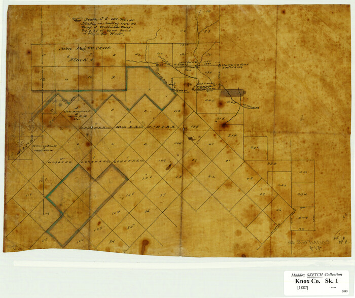
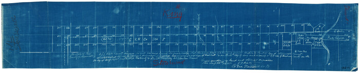
[Surveying Sketch of John Poitevent Block 1, Railroad Lands, et al in Knox County, Texas]
Print $3.00
- Digital $50.00
[Surveying Sketch of John Poitevent Block 1, Railroad Lands, et al in Knox County, Texas]
Size: 11.9 x 14.2 inches
414
[Sketch of Surveys in Cottle, Dickens, King & Motley Counties, Texas]
Print $20.00
- Digital $50.00
[Sketch of Surveys in Cottle, Dickens, King & Motley Counties, Texas]
1913
Size: 29.6 x 23.2 inches
75830
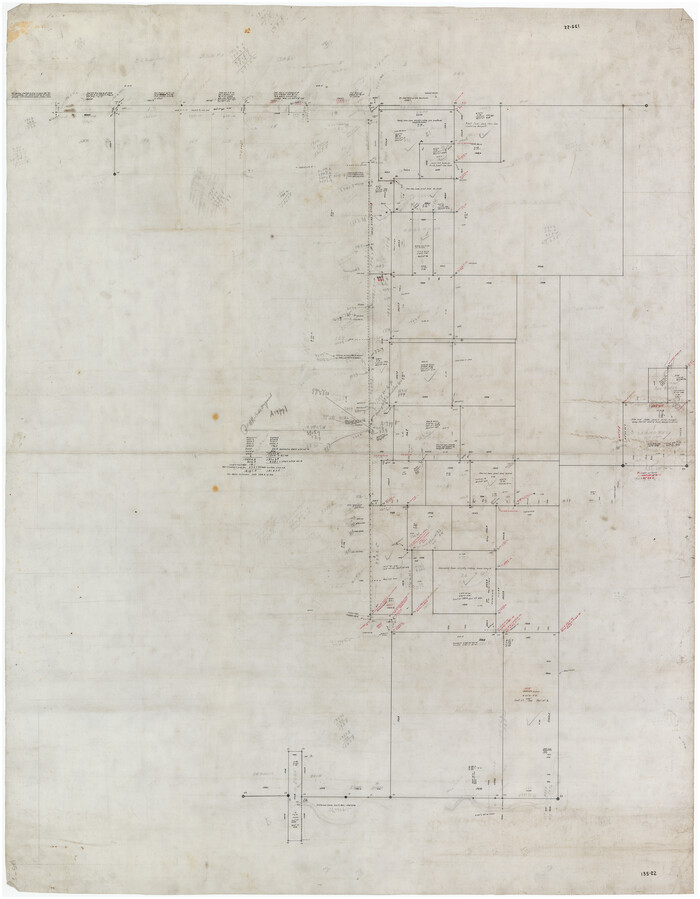
[Sections 158-162 and surveys to the east]
Print $20.00
- Digital $50.00
[Sections 158-162 and surveys to the east]
1916
Size: 7.8 x 18.9 inches
93003
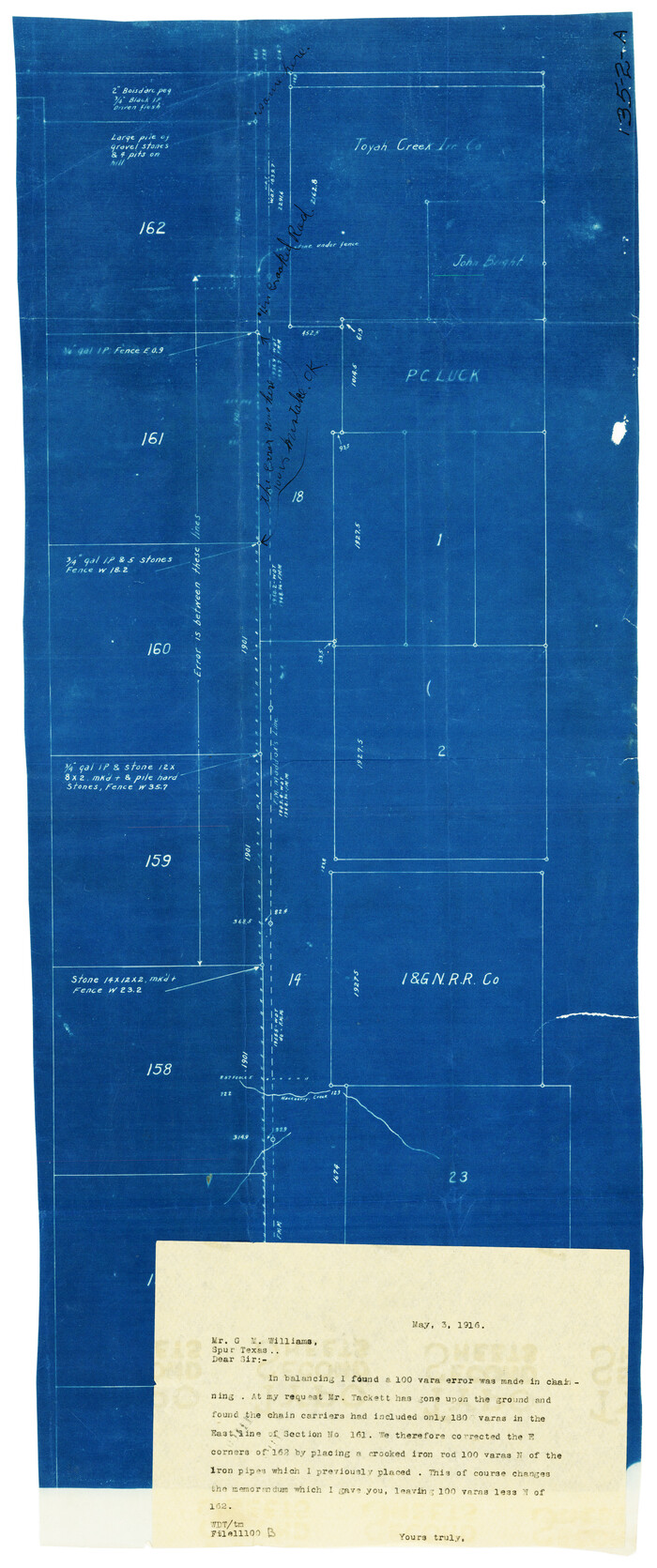
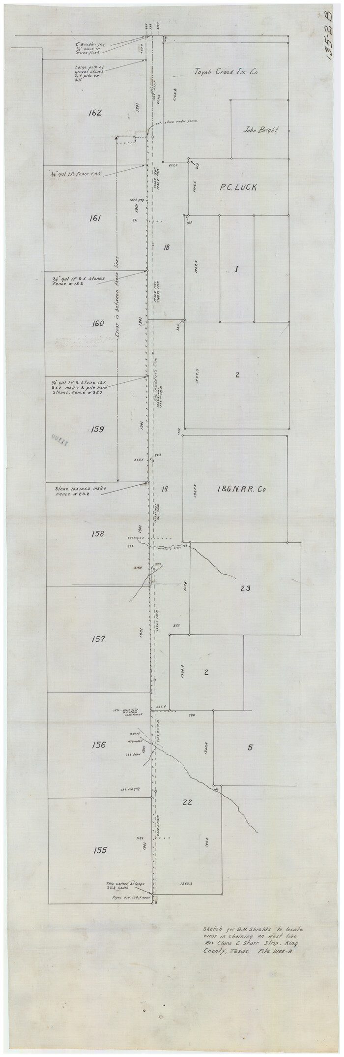
[Sections 155-162, Toyah Creek Irrigation Company and surrounding surveys]
Print $20.00
- Digital $50.00
[Sections 155-162, Toyah Creek Irrigation Company and surrounding surveys]
1916
Size: 12.8 x 38.7 inches
91037
[SE/4 of NW/4 of King Co.]
Print $40.00
- Digital $50.00
[SE/4 of NW/4 of King Co.]
Size: 43.7 x 55.5 inches
89925
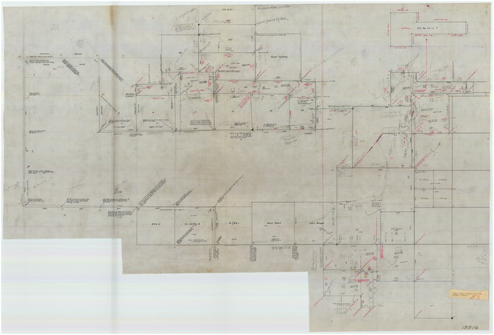
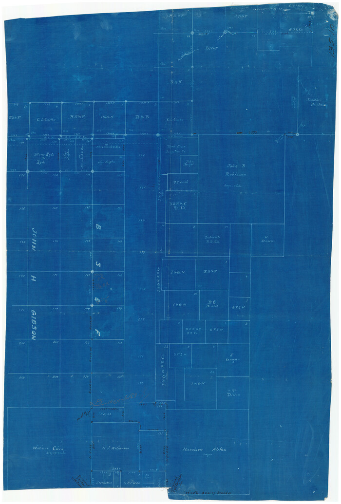
[Northwest Portion of King County]
Print $20.00
- Digital $50.00
[Northwest Portion of King County]
Size: 28.7 x 35.7 inches
90978
[North part of County with connecting lines]
Print $40.00
- Digital $50.00
[North part of County with connecting lines]
Size: 51.3 x 35.0 inches
89955
[King/Stonewall County Line]
Print $20.00
- Digital $50.00
[King/Stonewall County Line]
1895
Size: 38.9 x 8.3 inches
90979
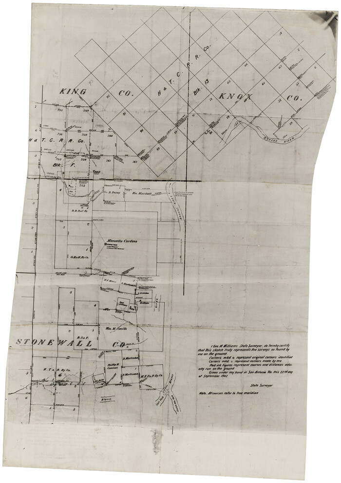
[King, Knox & Stonewall Counties]
Print $20.00
- Digital $50.00
[King, Knox & Stonewall Counties]
1902
Size: 19.6 x 28.1 inches
92916
[King, Knox & Stonewall Counties]
Print $20.00
- Digital $50.00
[King, Knox & Stonewall Counties]
1902
Size: 19.6 x 28.2 inches
92917
[John H. Robinson, John H. Gibson, and vicinity]
Print $20.00
- Digital $50.00
[John H. Robinson, John H. Gibson, and vicinity]
Size: 19.9 x 29.5 inches
91043
[John B. Robinson and surrounding surveys]
Print $20.00
- Digital $50.00
[John B. Robinson and surrounding surveys]
Size: 12.9 x 15.2 inches
91040
[J. B. Sneed, S. Robinson, and vicinity]
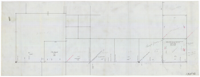
Print $20.00
- Digital $50.00
[J. B. Sneed, S. Robinson, and vicinity]
Size: 32.4 x 12.8 inches
91041
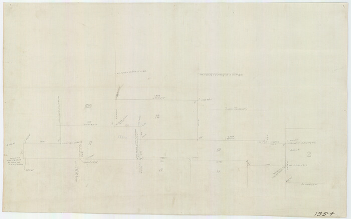
[I. & G. N. Sections 11, 12, and 13]

Print $20.00
- Digital $50.00
[I. & G. N. Sections 11, 12, and 13]
Size: 28.9 x 11.5 inches
91038
[I. & G. N. Sections 11, 12, and 13]
Print $20.00
- Digital $50.00
[I. & G. N. Sections 11, 12, and 13]
Size: 24.7 x 15.6 inches
91039
[I. & G. N, Sections 8-13]
Print $20.00
- Digital $50.00
[I. & G. N, Sections 8-13]
Size: 25.2 x 12.1 inches
91047
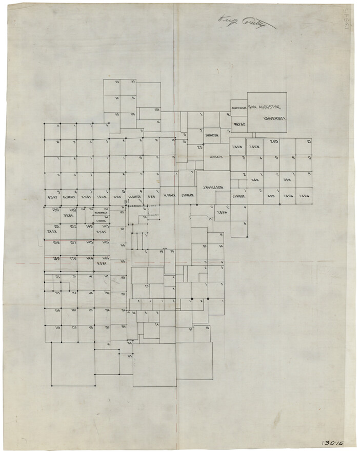
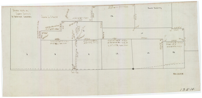
[Block G, Jonathan Burleson Survey, and vicinity]
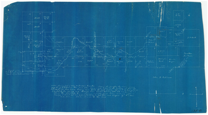
Print $20.00
- Digital $50.00
[Block G, Jonathan Burleson Survey, and vicinity]
Size: 26.4 x 14.6 inches
91042
Working Sketch in Dickens & King Cos.

Print $20.00
- Digital $50.00
Working Sketch in Dickens & King Cos.
Size: 24.4 x 20.4 inches
10770
Survey 1, Block 1, D.B. Gardner in Dickens County

Print $20.00
- Digital $50.00
Survey 1, Block 1, D.B. Gardner in Dickens County
1914
Size: 14.9 x 30.4 inches
10767
Stonewall County Working Sketch 13

Print $20.00
- Digital $50.00
Stonewall County Working Sketch 13
1951
Size: 31.9 x 33.7 inches
62320
Stonewall County Sketch File B1

Print $20.00
- Digital $50.00
Stonewall County Sketch File B1
1901
Size: 36.2 x 34.9 inches
10379
Stonewall County Sketch File 5

Print $40.00
- Digital $50.00
Stonewall County Sketch File 5
Size: 14.9 x 14.4 inches
37206
Stonewall County Sketch File 18

Print $16.00
- Digital $50.00
Stonewall County Sketch File 18
1902
Size: 13.7 x 8.4 inches
37276
Stonewall County Rolled Sketch 24B

Print $40.00
- Digital $50.00
Stonewall County Rolled Sketch 24B
1954
Size: 50.1 x 43.1 inches
9964
Stonewall County Rolled Sketch 24A

Print $40.00
- Digital $50.00
Stonewall County Rolled Sketch 24A
1954
Size: 55.0 x 47.1 inches
9963
Stonewall County Rolled Sketch 22

Print $20.00
- Digital $50.00
Stonewall County Rolled Sketch 22
1951
Size: 33.3 x 30.7 inches
76011
Stonewall County Rolled Sketch 22

Print $20.00
- Digital $50.00
Stonewall County Rolled Sketch 22
1951
Size: 33.2 x 30.9 inches
9961
Stonewall County Rolled Sketch 15

Print $20.00
- Digital $50.00
Stonewall County Rolled Sketch 15
1902
Size: 39.2 x 28.0 inches
7870
[Surveying Sketch of John Poitevent Block 1, Railroad Lands, et al in Knox County, Texas]
Print $3.00
- Digital $50.00
[Surveying Sketch of John Poitevent Block 1, Railroad Lands, et al in Knox County, Texas]
-
Size
11.9 x 14.2 inches
-
Map/Doc
414
[Sketch of Surveys in Cottle, Dickens, King & Motley Counties, Texas]
Print $20.00
- Digital $50.00
[Sketch of Surveys in Cottle, Dickens, King & Motley Counties, Texas]
1913
-
Size
29.6 x 23.2 inches
-
Map/Doc
75830
-
Creation Date
1913
[Sections 158-162 and surveys to the east]
Print $20.00
- Digital $50.00
[Sections 158-162 and surveys to the east]
1916
-
Size
7.8 x 18.9 inches
-
Map/Doc
93003
-
Creation Date
1916
[Sections 155-162, Toyah Creek Irrigation Company and surrounding surveys]
Print $20.00
- Digital $50.00
[Sections 155-162, Toyah Creek Irrigation Company and surrounding surveys]
1916
-
Size
12.8 x 38.7 inches
-
Map/Doc
91037
-
Creation Date
1916
[SE/4 of NW/4 of King Co.]
Print $40.00
- Digital $50.00
[SE/4 of NW/4 of King Co.]
-
Size
43.7 x 55.5 inches
-
Map/Doc
89925
[Northwest Portion of King County]
Print $20.00
- Digital $50.00
[Northwest Portion of King County]
-
Size
28.7 x 35.7 inches
-
Map/Doc
90978
[North part of County with connecting lines]
Print $40.00
- Digital $50.00
[North part of County with connecting lines]
-
Size
51.3 x 35.0 inches
-
Map/Doc
89955
[King/Stonewall County Line]
Print $20.00
- Digital $50.00
[King/Stonewall County Line]
1895
-
Size
38.9 x 8.3 inches
-
Map/Doc
90979
-
Creation Date
1895
[King, Knox & Stonewall Counties]
Print $20.00
- Digital $50.00
[King, Knox & Stonewall Counties]
1902
-
Size
19.6 x 28.1 inches
-
Map/Doc
92916
-
Creation Date
1902
[King, Knox & Stonewall Counties]
Print $20.00
- Digital $50.00
[King, Knox & Stonewall Counties]
1902
-
Size
19.6 x 28.2 inches
-
Map/Doc
92917
-
Creation Date
1902
[John H. Robinson, John H. Gibson, and vicinity]
Print $20.00
- Digital $50.00
[John H. Robinson, John H. Gibson, and vicinity]
-
Size
19.9 x 29.5 inches
-
Map/Doc
91043
[John B. Robinson and surrounding surveys]
Print $20.00
- Digital $50.00
[John B. Robinson and surrounding surveys]
-
Size
12.9 x 15.2 inches
-
Map/Doc
91040
[J. B. Sneed, S. Robinson, and vicinity]
Print $20.00
- Digital $50.00
[J. B. Sneed, S. Robinson, and vicinity]
-
Size
32.4 x 12.8 inches
-
Map/Doc
91041
[I. & G. N. Sections 11, 12, and 13]
Print $20.00
- Digital $50.00
[I. & G. N. Sections 11, 12, and 13]
-
Size
28.9 x 11.5 inches
-
Map/Doc
91038
[I. & G. N. Sections 11, 12, and 13]
Print $20.00
- Digital $50.00
[I. & G. N. Sections 11, 12, and 13]
-
Size
24.7 x 15.6 inches
-
Map/Doc
91039
[I. & G. N, Sections 8-13]
Print $20.00
- Digital $50.00
[I. & G. N, Sections 8-13]
-
Size
25.2 x 12.1 inches
-
Map/Doc
91047
[Block G, Jonathan Burleson Survey, and vicinity]
Print $20.00
- Digital $50.00
[Block G, Jonathan Burleson Survey, and vicinity]
-
Size
26.4 x 14.6 inches
-
Map/Doc
91042
Young Territory

Print $20.00
- Digital $50.00
Young Territory
1865
-
Size
29.7 x 30.5 inches
-
Map/Doc
1978
-
Creation Date
1865
Working Sketch in Dickens & King Cos.
Print $20.00
- Digital $50.00
Working Sketch in Dickens & King Cos.
-
Size
24.4 x 20.4 inches
-
Map/Doc
10770
Survey 1, Block 1, D.B. Gardner in Dickens County
Print $20.00
- Digital $50.00
Survey 1, Block 1, D.B. Gardner in Dickens County
1914
-
Size
14.9 x 30.4 inches
-
Map/Doc
10767
-
Creation Date
1914
Stonewall County Working Sketch 13
Print $20.00
- Digital $50.00
Stonewall County Working Sketch 13
1951
-
Size
31.9 x 33.7 inches
-
Map/Doc
62320
-
Creation Date
1951
Stonewall County Sketch File B1
Print $20.00
- Digital $50.00
Stonewall County Sketch File B1
1901
-
Size
36.2 x 34.9 inches
-
Map/Doc
10379
-
Creation Date
1901
Stonewall County Sketch File 5
Print $40.00
- Digital $50.00
Stonewall County Sketch File 5
-
Size
14.9 x 14.4 inches
-
Map/Doc
37206
Stonewall County Sketch File 18
Print $16.00
- Digital $50.00
Stonewall County Sketch File 18
1902
-
Size
13.7 x 8.4 inches
-
Map/Doc
37276
-
Creation Date
1902
Stonewall County Rolled Sketch 24B
Print $40.00
- Digital $50.00
Stonewall County Rolled Sketch 24B
1954
-
Size
50.1 x 43.1 inches
-
Map/Doc
9964
-
Creation Date
1954
Stonewall County Rolled Sketch 24A
Print $40.00
- Digital $50.00
Stonewall County Rolled Sketch 24A
1954
-
Size
55.0 x 47.1 inches
-
Map/Doc
9963
-
Creation Date
1954
Stonewall County Rolled Sketch 22
Print $20.00
- Digital $50.00
Stonewall County Rolled Sketch 22
1951
-
Size
33.3 x 30.7 inches
-
Map/Doc
76011
-
Creation Date
1951
Stonewall County Rolled Sketch 22
Print $20.00
- Digital $50.00
Stonewall County Rolled Sketch 22
1951
-
Size
33.2 x 30.9 inches
-
Map/Doc
9961
-
Creation Date
1951
Stonewall County Rolled Sketch 15
Print $20.00
- Digital $50.00
Stonewall County Rolled Sketch 15
1902
-
Size
39.2 x 28.0 inches
-
Map/Doc
7870
-
Creation Date
1902