[Block G, Jonathan Burleson Survey, and vicinity]
135-8
-
Map/Doc
91042
-
Collection
Twichell Survey Records
-
Counties
King Dickens
-
Height x Width
26.4 x 14.6 inches
67.1 x 37.1 cm
Part of: Twichell Survey Records
[Survey 321, Double Lakes Area Northwest of Tohoka]
![91347, [Survey 321, Double Lakes Area Northwest of Tohoka], Twichell Survey Records](https://historictexasmaps.com/wmedia_w700/maps/91347-1.tif.jpg)
![91347, [Survey 321, Double Lakes Area Northwest of Tohoka], Twichell Survey Records](https://historictexasmaps.com/wmedia_w700/maps/91347-1.tif.jpg)
Print $20.00
- Digital $50.00
[Survey 321, Double Lakes Area Northwest of Tohoka]
Size 35.0 x 32.2 inches
Map/Doc 91347
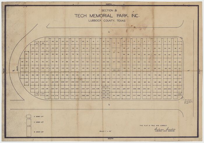
Section B Tech Memorial Park, Inc.

Print $3.00
- Digital $50.00
Section B Tech Memorial Park, Inc.
Size 14.1 x 10.0 inches
Map/Doc 92268
[Part of Eastern Texas RR. Co. Block 1]
![91920, [Part of Eastern Texas RR. Co. Block 1], Twichell Survey Records](https://historictexasmaps.com/wmedia_w700/maps/91920-1.tif.jpg)
![91920, [Part of Eastern Texas RR. Co. Block 1], Twichell Survey Records](https://historictexasmaps.com/wmedia_w700/maps/91920-1.tif.jpg)
Print $20.00
- Digital $50.00
[Part of Eastern Texas RR. Co. Block 1]
Size 35.7 x 15.6 inches
Map/Doc 91920
[Blocks N and B]
![90498, [Blocks N and B], Twichell Survey Records](https://historictexasmaps.com/wmedia_w700/maps/90498-1.tif.jpg)
![90498, [Blocks N and B], Twichell Survey Records](https://historictexasmaps.com/wmedia_w700/maps/90498-1.tif.jpg)
Print $3.00
- Digital $50.00
[Blocks N and B]
Size 10.0 x 11.4 inches
Map/Doc 90498
[T. & N. O. Blks. 9T and 10T and surrounding areas]
![90413, [T. & N. O. Blks. 9T and 10T and surrounding areas], Twichell Survey Records](https://historictexasmaps.com/wmedia_w700/maps/90413-1.tif.jpg)
![90413, [T. & N. O. Blks. 9T and 10T and surrounding areas], Twichell Survey Records](https://historictexasmaps.com/wmedia_w700/maps/90413-1.tif.jpg)
Print $20.00
- Digital $50.00
[T. & N. O. Blks. 9T and 10T and surrounding areas]
Size 14.6 x 21.0 inches
Map/Doc 90413
[Blocks O3 and O4 and Capitol Leagues in the vicinity]
![90391, [Blocks O3 and O4 and Capitol Leagues in the vicinity], Twichell Survey Records](https://historictexasmaps.com/wmedia_w700/maps/90391-1.tif.jpg)
![90391, [Blocks O3 and O4 and Capitol Leagues in the vicinity], Twichell Survey Records](https://historictexasmaps.com/wmedia_w700/maps/90391-1.tif.jpg)
Print $2.00
- Digital $50.00
[Blocks O3 and O4 and Capitol Leagues in the vicinity]
Size 8.4 x 10.5 inches
Map/Doc 90391
A Map of California with Descriptive Notes


A Map of California with Descriptive Notes
1954
Size 29.5 x 37.6 inches
Map/Doc 92394
[Block 1 PO, Surveys 15, 16, and 17]
![91433, [Block 1 PO, Surveys 15, 16, and 17], Twichell Survey Records](https://historictexasmaps.com/wmedia_w700/maps/91433-1.tif.jpg)
![91433, [Block 1 PO, Surveys 15, 16, and 17], Twichell Survey Records](https://historictexasmaps.com/wmedia_w700/maps/91433-1.tif.jpg)
Print $20.00
- Digital $50.00
[Block 1 PO, Surveys 15, 16, and 17]
1906
Size 16.6 x 15.6 inches
Map/Doc 91433
[W. T. Brewer: M. McDonald, Ralph Gilpin, A. Vanhooser, John Baker, John R. Taylor Surveys]
![90959, [W. T. Brewer: M. McDonald, Ralph Gilpin, A. Vanhooser, John Baker, John R. Taylor Surveys], Twichell Survey Records](https://historictexasmaps.com/wmedia_w700/maps/90959-1.tif.jpg)
![90959, [W. T. Brewer: M. McDonald, Ralph Gilpin, A. Vanhooser, John Baker, John R. Taylor Surveys], Twichell Survey Records](https://historictexasmaps.com/wmedia_w700/maps/90959-1.tif.jpg)
Print $2.00
- Digital $50.00
[W. T. Brewer: M. McDonald, Ralph Gilpin, A. Vanhooser, John Baker, John R. Taylor Surveys]
Size 9.1 x 11.2 inches
Map/Doc 90959
[Archer County School Land, Sections 1,2,3,4, Blocks GG, I, 29, A2, C3]
![92914, [Archer County School Land, Sections 1,2,3,4, Blocks GG, I, 29, A2, C3], Twichell Survey Records](https://historictexasmaps.com/wmedia_w700/maps/92914-1.tif.jpg)
![92914, [Archer County School Land, Sections 1,2,3,4, Blocks GG, I, 29, A2, C3], Twichell Survey Records](https://historictexasmaps.com/wmedia_w700/maps/92914-1.tif.jpg)
Print $20.00
- Digital $50.00
[Archer County School Land, Sections 1,2,3,4, Blocks GG, I, 29, A2, C3]
Size 25.9 x 18.7 inches
Map/Doc 92914
[River Sections 54-73, part of Blk. GG]
![90317, [River Sections 54-73, part of Blk. GG], Twichell Survey Records](https://historictexasmaps.com/wmedia_w700/maps/90317-1.tif.jpg)
![90317, [River Sections 54-73, part of Blk. GG], Twichell Survey Records](https://historictexasmaps.com/wmedia_w700/maps/90317-1.tif.jpg)
Print $20.00
- Digital $50.00
[River Sections 54-73, part of Blk. GG]
Size 37.0 x 35.9 inches
Map/Doc 90317
You may also like
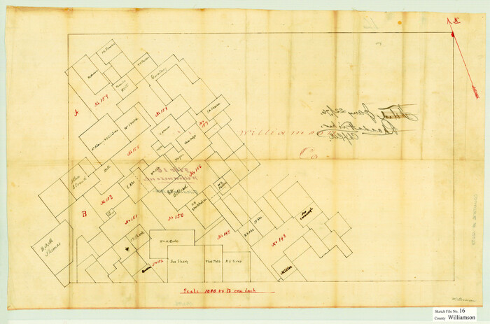
Williamson County Sketch File 16

Print $20.00
- Digital $50.00
Williamson County Sketch File 16
Size 16.8 x 25.5 inches
Map/Doc 12693
Old Miscellaneous File 27b


Print $10.00
- Digital $50.00
Old Miscellaneous File 27b
1880
Size 14.3 x 8.8 inches
Map/Doc 75722
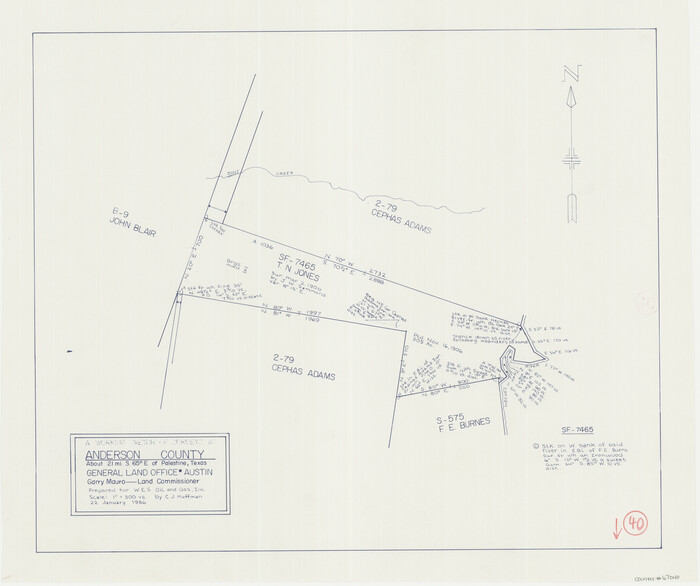
Anderson County Working Sketch 40

Print $20.00
- Digital $50.00
Anderson County Working Sketch 40
1986
Size 17.0 x 20.3 inches
Map/Doc 67040
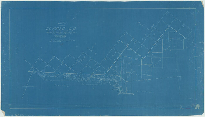
El Paso County Working Sketch 4

Print $20.00
- Digital $50.00
El Paso County Working Sketch 4
1916
Size 21.4 x 37.3 inches
Map/Doc 69026
Maps of Gulf Intracoastal Waterway, Texas - Sabine River to the Rio Grande and connecting waterways including ship channels


Print $20.00
- Digital $50.00
Maps of Gulf Intracoastal Waterway, Texas - Sabine River to the Rio Grande and connecting waterways including ship channels
1966
Size 14.5 x 22.2 inches
Map/Doc 61964
Current Miscellaneous File 113


Print $52.00
- Digital $50.00
Current Miscellaneous File 113
Size 23.8 x 17.1 inches
Map/Doc 74787
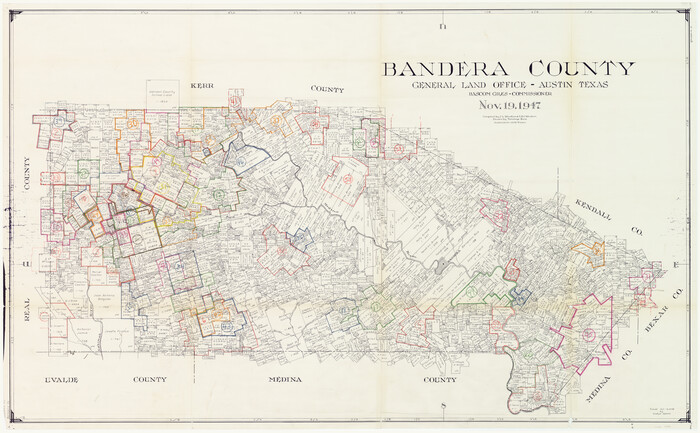
Bandera County Working Sketch Graphic Index

Print $40.00
- Digital $50.00
Bandera County Working Sketch Graphic Index
1947
Size 33.5 x 53.8 inches
Map/Doc 76461
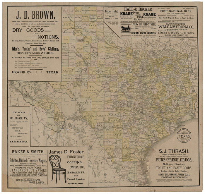
The Latest Map of Texas

Print $20.00
- Digital $50.00
The Latest Map of Texas
1889
Size 32.0 x 34.0 inches
Map/Doc 93422
Map of Terry County


Print $2.00
- Digital $50.00
Map of Terry County
Size 7.7 x 8.4 inches
Map/Doc 92887
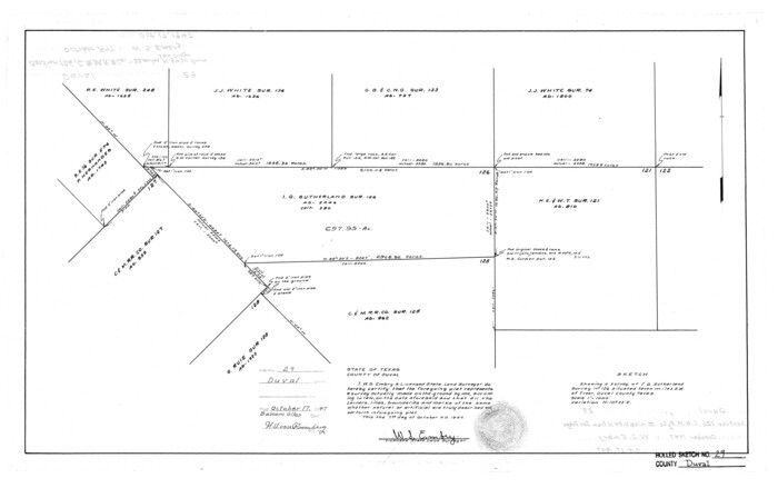
Duval County Rolled Sketch 29

Print $20.00
- Digital $50.00
Duval County Rolled Sketch 29
1947
Size 16.2 x 25.8 inches
Map/Doc 5746
Flight Mission No. CGI-2N, Frame 186, Cameron County


Print $20.00
- Digital $50.00
Flight Mission No. CGI-2N, Frame 186, Cameron County
1954
Size 19.5 x 25.0 inches
Map/Doc 84546
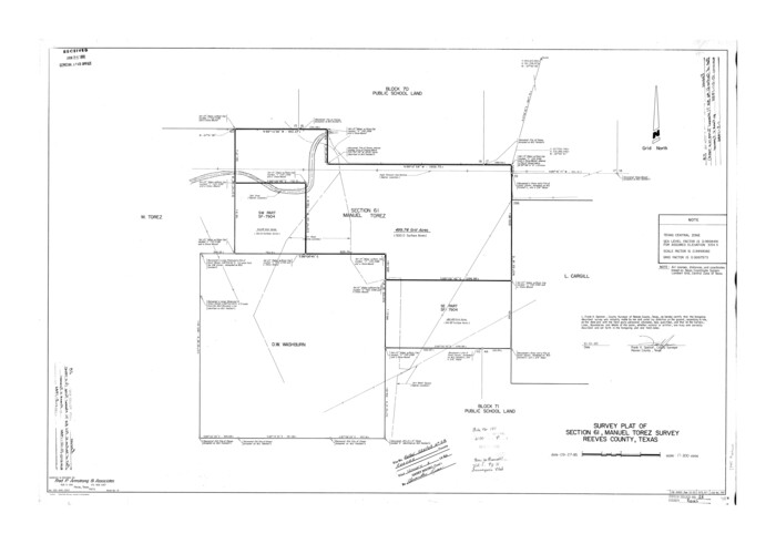
Reeves County Rolled Sketch 28

Print $20.00
- Digital $50.00
Reeves County Rolled Sketch 28
1985
Size 28.1 x 40.1 inches
Map/Doc 7497
![91042, [Block G, Jonathan Burleson Survey, and vicinity], Twichell Survey Records](https://historictexasmaps.com/wmedia_w1800h1800/maps/91042-1.tif.jpg)
