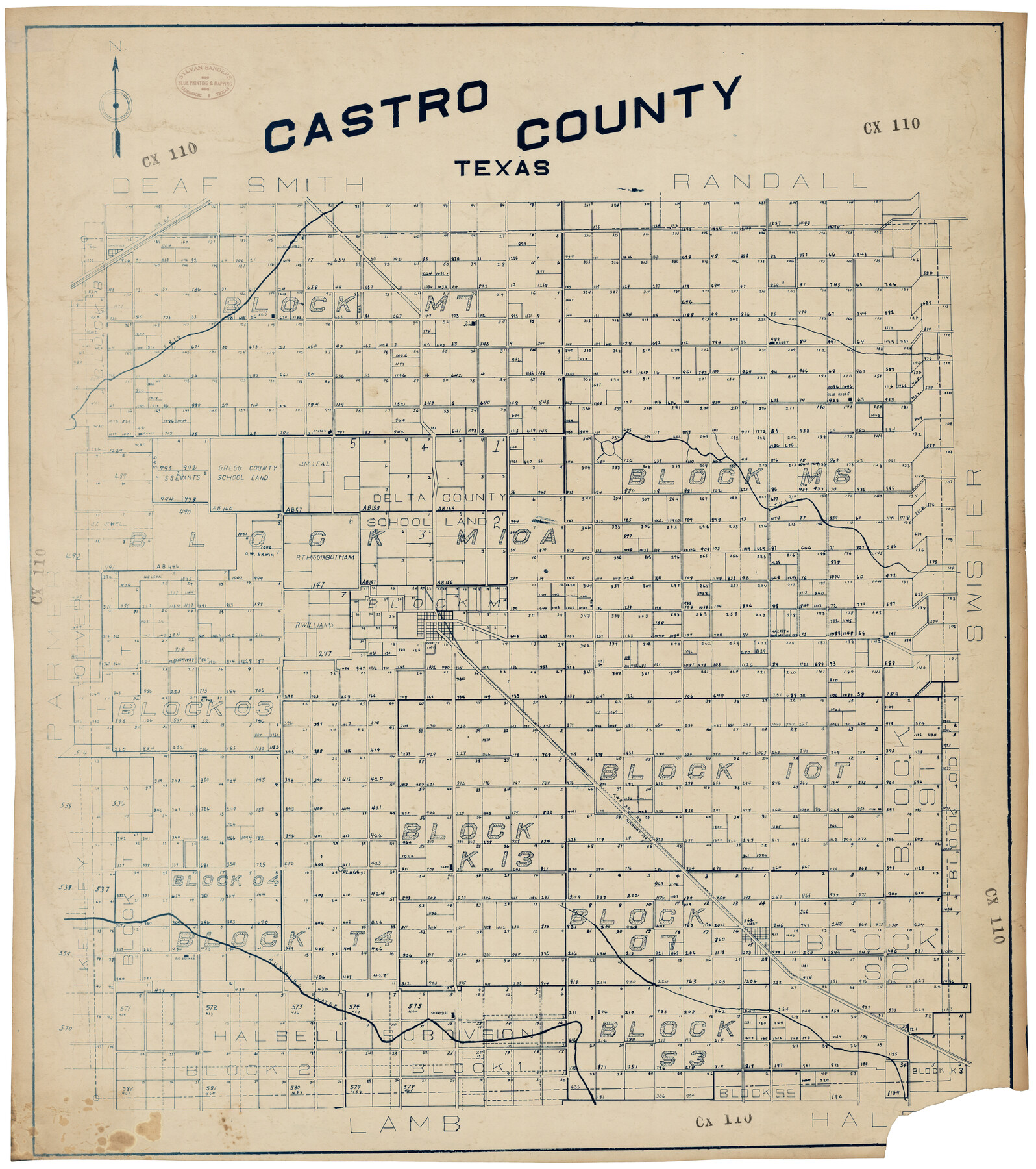
Castro County
CX110
- 
                          Map/Doc92573
- 
                            CollectionTwichell Survey Records
- 
                            CountiesCastro
- 
                            SubjectsCounty
- 
                            Height x Width34.6 x 38.8 inches87.9 x 98.6 cm
Part of: Twichell Survey Records
            Map of the Northeast Part of the Pitchfork Ranch


                                            Print $20.00                    
                                             -                         Digital $50.00                                    
                Map of the Northeast Part of the Pitchfork Ranch
1916
Size 23.4 x 23.4 inches
                                Map/Doc 90980
            
            Rhyne Simpson Quirt Ave. Addition to the City of Lubbock


                                            Print $20.00                    
                                             -                         Digital $50.00                                    
                Rhyne Simpson Quirt Ave. Addition to the City of Lubbock
1951
Size 17.2 x 21.2 inches
                                Map/Doc 92878
            
            [Sketch showing various surveys south and along Holiday Creek]
            
                                    ![89979, [Sketch showing various surveys south and along Holiday Creek], Twichell Survey Records](https://historictexasmaps.com/wmedia_w700/maps/89979-1.tif.jpg) 


    ![89979, [Sketch showing various surveys south and along Holiday Creek], Twichell Survey Records](https://historictexasmaps.com/wmedia_w700/maps/89979-1.tif.jpg) 
                                
            
                                            Print $20.00                    
                                             -                         Digital $50.00                                    
                [Sketch showing various surveys south and along Holiday Creek]
Size 36.1 x 30.1 inches
                                Map/Doc 89979
            
            [Block 1, Section 31]
            
                                    ![92171, [Block 1, Section 31], Twichell Survey Records](https://historictexasmaps.com/wmedia_w700/maps/92171-1.tif.jpg) 


    ![92171, [Block 1, Section 31], Twichell Survey Records](https://historictexasmaps.com/wmedia_w700/maps/92171-1.tif.jpg) 
                                
            
                                            Print $20.00                    
                                             -                         Digital $50.00                                    
                [Block 1, Section 31]
1946
Size 24.3 x 19.7 inches
                                Map/Doc 92171
            
            [Map Showing Capitol Lands]
            
                                    ![93198, [Map Showing Capitol Lands], Twichell Survey Records](https://historictexasmaps.com/wmedia_w700/maps/93198-1.tif.jpg) 


    ![93198, [Map Showing Capitol Lands], Twichell Survey Records](https://historictexasmaps.com/wmedia_w700/maps/93198-1.tif.jpg) 
                                
            
                                            Print $40.00                    
                                             -                         Digital $50.00                                    
                [Map Showing Capitol Lands]
Size 43.9 x 104.8 inches
                                Map/Doc 93198
            
            Section 40, Block Y


                                            Print $20.00                    
                                             -                         Digital $50.00                                    
                Section 40, Block Y
Size 23.9 x 19.5 inches
                                Map/Doc 92460
            
            [Coleman County Sections 359, 360, and 361]
            
                                    ![92552, [Coleman County Sections 359, 360, and 361], Twichell Survey Records](https://historictexasmaps.com/wmedia_w700/maps/92552-1.tif.jpg) 


    ![92552, [Coleman County Sections 359, 360, and 361], Twichell Survey Records](https://historictexasmaps.com/wmedia_w700/maps/92552-1.tif.jpg) 
                                
            
                                            Print $20.00                    
                                             -                         Digital $50.00                                    
                [Coleman County Sections 359, 360, and 361]
1946
Size 17.6 x 22.6 inches
                                Map/Doc 92552
            
            St Francis situated in Potter and Carson Counties, Texas


                                            Print $20.00                    
                                             -                         Digital $50.00                                    
                St Francis situated in Potter and Carson Counties, Texas
Size 22.0 x 26.1 inches
                                Map/Doc 93109
            
            Plat in Hockley County, Texas


                                            Print $20.00                    
                                             -                         Digital $50.00                                    
                Plat in Hockley County, Texas
1956
Size 26.9 x 21.3 inches
                                Map/Doc 92221
            
            Leagues 35, 36, 37, 38, 39, 40, 41, and 42]
            
                                    ![92236, Leagues 35, 36, 37, 38, 39, 40, 41, and 42], Twichell Survey Records](https://historictexasmaps.com/wmedia_w700/maps/92236-1.tif.jpg) 


    ![92236, Leagues 35, 36, 37, 38, 39, 40, 41, and 42], Twichell Survey Records](https://historictexasmaps.com/wmedia_w700/maps/92236-1.tif.jpg) 
                                
            
                                            Print $20.00                    
                                             -                         Digital $50.00                                    
                Leagues 35, 36, 37, 38, 39, 40, 41, and 42]
Size 40.4 x 34.4 inches
                                Map/Doc 92236
            
            [W. T. Brewer: M. McDonald, Ralph Gilpin, A. Vanhooser, John Baker, John R. Taylor Surveys]
            
                                    ![90961, [W. T. Brewer: M. McDonald, Ralph Gilpin, A. Vanhooser, John Baker, John R. Taylor Surveys], Twichell Survey Records](https://historictexasmaps.com/wmedia_w700/maps/90961-1.tif.jpg) 


    ![90961, [W. T. Brewer: M. McDonald, Ralph Gilpin, A. Vanhooser, John Baker, John R. Taylor Surveys], Twichell Survey Records](https://historictexasmaps.com/wmedia_w700/maps/90961-1.tif.jpg) 
                                
            
                                            Print $2.00                    
                                             -                         Digital $50.00                                    
                [W. T. Brewer: M. McDonald, Ralph Gilpin, A. Vanhooser, John Baker, John R. Taylor Surveys]
Size 8.8 x 11.2 inches
                                Map/Doc 90961
            You may also like
            General Highway Map, Armstrong County, Texas


                                            Print $20.00                    
                                    
                General Highway Map, Armstrong County, Texas
1961
Size 18.3 x 25.0 inches
                                Map/Doc 79354
            
            Trinity County Sketch File 36a


                                            Print $40.00                    
                                             -                         Digital $50.00                                    
                Trinity County Sketch File 36a
1921
Size 18.5 x 8.6 inches
                                Map/Doc 38589
            
            Collin County Sketch File 14


                                            Print $12.00                    
                                             -                         Digital $50.00                                    
                Collin County Sketch File 14
1953
Size 11.2 x 8.7 inches
                                Map/Doc 18874
            
            Montgomery County Working Sketch 51


                                            Print $20.00                    
                                             -                         Digital $50.00                                    
                Montgomery County Working Sketch 51
1960
Size 38.7 x 40.4 inches
                                Map/Doc 71158
            
            Stephens County Working Sketch 10


                                            Print $40.00                    
                                             -                         Digital $50.00                                    
                Stephens County Working Sketch 10
1921
Size 36.1 x 64.1 inches
                                Map/Doc 63953
            
            Montgomery County Sketch File 26


                                            Print $6.00                    
                                             -                         Digital $50.00                                    
                Montgomery County Sketch File 26
1845
Size 13.4 x 11.4 inches
                                Map/Doc 31871
            
            Sketch Showing Block 33, Township 5 North, T. & P. RR. Surveys


                                            Print $20.00                    
                                             -                         Digital $50.00                                    
                Sketch Showing Block 33, Township 5 North, T. & P. RR. Surveys
1921
Size 23.2 x 22.7 inches
                                Map/Doc 90635
            
            Coryell County Sketch File 14


                                            Print $6.00                    
                                             -                         Digital $50.00                                    
                Coryell County Sketch File 14
1873
Size 5.0 x 7.6 inches
                                Map/Doc 19368
            
            Upton County Rolled Sketch 59


                                            Print $40.00                    
                                             -                         Digital $50.00                                    
                Upton County Rolled Sketch 59
Size 37.8 x 48.4 inches
                                Map/Doc 10062
            
            Reagan County Working Sketch 6


                                            Print $20.00                    
                                             -                         Digital $50.00                                    
                Reagan County Working Sketch 6
1924
Size 27.3 x 17.7 inches
                                Map/Doc 71846
            
            Culberson County Working Sketch 20


                                            Print $40.00                    
                                             -                         Digital $50.00                                    
                Culberson County Working Sketch 20
1935
Size 76.6 x 44.3 inches
                                Map/Doc 68472
             
                         
                                