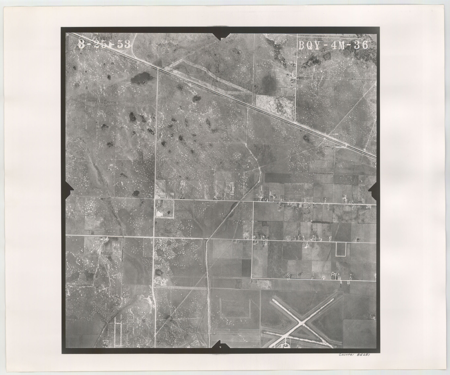
Flight Mission No. BQY-4M, Frame 36, Harris County
BQY-4M-36
-
Map/Doc
85251
-
Collection
General Map Collection
-
Object Dates
1953/3/25 (Creation Date)
-
People and Organizations
U. S. Department of Agriculture (Publisher)
-
Counties
Harris
-
Subjects
Aerial Photograph
-
Height x Width
18.6 x 22.3 inches
47.2 x 56.6 cm
-
Comments
Flown by Jack Ammann Photogrammetric Engineers of San Antonio, Texas.
Part of: General Map Collection
Gonzales County Sketch File 4a

Print $4.00
- Digital $50.00
Gonzales County Sketch File 4a
1861
Size 8.0 x 6.7 inches
Map/Doc 24375
Johnson County Working Sketch 27

Print $20.00
- Digital $50.00
Johnson County Working Sketch 27
2006
Size 37.3 x 44.0 inches
Map/Doc 83651

Van Zandt County Sketch File 17 and 17a

Print $6.00
- Digital $50.00
Van Zandt County Sketch File 17 and 17a
1858
Size 14.2 x 8.1 inches
Map/Doc 39417
Starr County Working Sketch 5

Print $20.00
- Digital $50.00
Starr County Working Sketch 5
1930
Size 35.8 x 24.8 inches
Map/Doc 63921
A sketch of surveys made on the coast east of Bolivar Point

Print $20.00
- Digital $50.00
A sketch of surveys made on the coast east of Bolivar Point
1841
Size 9.1 x 22.0 inches
Map/Doc 22
Montgomery County Working Sketch 9

Print $20.00
- Digital $50.00
Montgomery County Working Sketch 9
1933
Size 26.4 x 39.6 inches
Map/Doc 71116
Polk County Rolled Sketch 33

Print $20.00
- Digital $50.00
Polk County Rolled Sketch 33
Size 26.5 x 38.5 inches
Map/Doc 7319
Colorado River, East Bernard Sheet

Print $4.00
- Digital $50.00
Colorado River, East Bernard Sheet
1939
Size 24.3 x 29.9 inches
Map/Doc 65308
Galveston County NRC Article 33.136 Sketch 37

Print $22.00
- Digital $50.00
Galveston County NRC Article 33.136 Sketch 37
2006
Size 36.6 x 25.1 inches
Map/Doc 83551
Medina County Working Sketch 17

Print $20.00
- Digital $50.00
Medina County Working Sketch 17
1979
Size 26.8 x 34.5 inches
Map/Doc 70932
Trinity River, Oliver Crossing Sheet/Chambers Creek

Print $6.00
- Digital $50.00
Trinity River, Oliver Crossing Sheet/Chambers Creek
1931
Size 30.1 x 28.2 inches
Map/Doc 65231
You may also like
[H. & T. C. Block 47, Sections 58-66 and part of Block 3]
![91791, [H. & T. C. Block 47, Sections 58-66 and part of Block 3], Twichell Survey Records](https://historictexasmaps.com/wmedia_w700/maps/91791-1.tif.jpg)
Print $20.00
- Digital $50.00
[H. & T. C. Block 47, Sections 58-66 and part of Block 3]
Size 24.1 x 12.7 inches
Map/Doc 91791
Hudspeth County Rolled Sketch 36

Print $20.00
- Digital $50.00
Hudspeth County Rolled Sketch 36
1952
Size 30.8 x 19.9 inches
Map/Doc 6249
Rusk County Working Sketch 21

Print $20.00
- Digital $50.00
Rusk County Working Sketch 21
1953
Size 27.6 x 28.3 inches
Map/Doc 63657
Calhoun County Working Sketch 12

Print $20.00
- Digital $50.00
Calhoun County Working Sketch 12
1976
Size 35.2 x 47.7 inches
Map/Doc 67828
Montague County Working Sketch 15

Print $20.00
- Digital $50.00
Montague County Working Sketch 15
1943
Size 15.7 x 12.2 inches
Map/Doc 71081
La Salle County Sketch File 22

Print $4.00
- Digital $50.00
La Salle County Sketch File 22
1875
Size 12.8 x 8.2 inches
Map/Doc 29528
Flight Mission No. BRE-1P, Frame 136, Nueces County

Print $20.00
- Digital $50.00
Flight Mission No. BRE-1P, Frame 136, Nueces County
1956
Size 18.7 x 22.7 inches
Map/Doc 86696
Map of Tyler County, Texas

Print $20.00
- Digital $50.00
Map of Tyler County, Texas
1881
Size 22.3 x 24.2 inches
Map/Doc 762
Liberty County Working Sketch 18

Print $20.00
- Digital $50.00
Liberty County Working Sketch 18
1939
Size 20.5 x 20.4 inches
Map/Doc 70477
Upper Galveston Bay, Houston Ship Channel, Dollar Pt. to Atkinson I.

Print $40.00
- Digital $50.00
Upper Galveston Bay, Houston Ship Channel, Dollar Pt. to Atkinson I.
1972
Size 49.9 x 36.9 inches
Map/Doc 69895
Leon County Working Sketch 19

Print $20.00
- Digital $50.00
Leon County Working Sketch 19
1962
Size 31.2 x 31.4 inches
Map/Doc 70418
Brooks County Rolled Sketch 24

Print $20.00
- Digital $50.00
Brooks County Rolled Sketch 24
1945
Size 42.8 x 23.7 inches
Map/Doc 5344