[H. & T. C. Block 47, Sections 58-66 and part of Block 3]
188-79
-
Map/Doc
91791
-
Collection
Twichell Survey Records
-
Counties
Potter
-
Height x Width
24.1 x 12.7 inches
61.2 x 32.3 cm
Part of: Twichell Survey Records
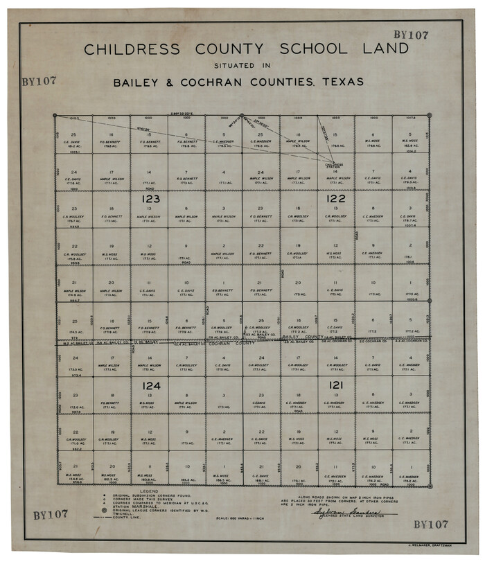
Childress County School Land Situated in Bailey and Cochran Counties

Print $20.00
- Digital $50.00
Childress County School Land Situated in Bailey and Cochran Counties
Size 21.8 x 25.4 inches
Map/Doc 92499
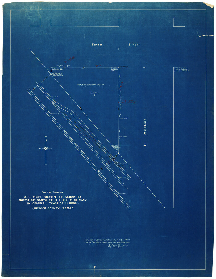
Sketch Showing all that Portion of Block 24 North of Santa Fe R. R. Right-of-Way in Original Town of Lubbock

Print $20.00
- Digital $50.00
Sketch Showing all that Portion of Block 24 North of Santa Fe R. R. Right-of-Way in Original Town of Lubbock
1925
Size 26.9 x 34.4 inches
Map/Doc 92809
Burnham Townsite at Justiceburg


Print $20.00
- Digital $50.00
Burnham Townsite at Justiceburg
Size 36.6 x 29.0 inches
Map/Doc 92694
Map Showing 949 3/10 Acres in the L. Brock, Sam Shupe, R. de la Pena, S. A. & G. M. RR. Surveys


Print $20.00
- Digital $50.00
Map Showing 949 3/10 Acres in the L. Brock, Sam Shupe, R. de la Pena, S. A. & G. M. RR. Surveys
1921
Size 19.5 x 14.9 inches
Map/Doc 92642
[Sections 158-162 and surveys to the east]
![93003, [Sections 158-162 and surveys to the east], Twichell Survey Records](https://historictexasmaps.com/wmedia_w700/maps/93003-1.tif.jpg)
![93003, [Sections 158-162 and surveys to the east], Twichell Survey Records](https://historictexasmaps.com/wmedia_w700/maps/93003-1.tif.jpg)
Print $20.00
- Digital $50.00
[Sections 158-162 and surveys to the east]
1916
Size 7.8 x 18.9 inches
Map/Doc 93003
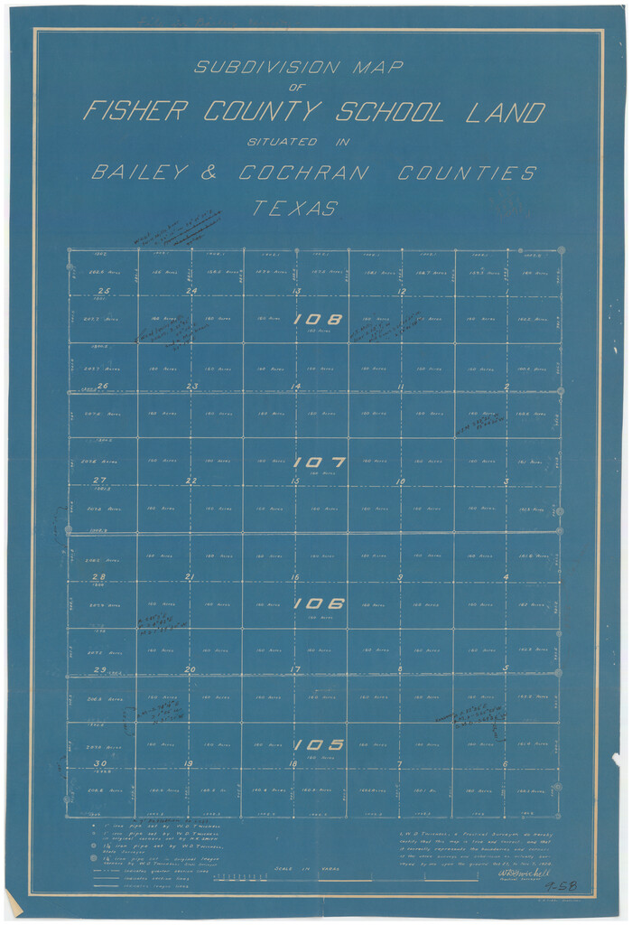
Subdivision Map of Fisher County School Land situated in Bailey and Cochran Counties, Texas

Print $20.00
- Digital $50.00
Subdivision Map of Fisher County School Land situated in Bailey and Cochran Counties, Texas
1924
Size 20.0 x 29.6 inches
Map/Doc 90243
J. F. Kelley Farm


Print $20.00
- Digital $50.00
J. F. Kelley Farm
Size 16.3 x 19.5 inches
Map/Doc 92408
Working Sketch Cochran and Yoakum Co's.


Print $40.00
- Digital $50.00
Working Sketch Cochran and Yoakum Co's.
1919
Size 54.2 x 14.5 inches
Map/Doc 89678
[Blocks 53, 54, 55, 56, 57, and 76]
![91314, [Blocks 53, 54, 55, 56, 57, and 76], Twichell Survey Records](https://historictexasmaps.com/wmedia_w700/maps/91314-2.tif.jpg)
![91314, [Blocks 53, 54, 55, 56, 57, and 76], Twichell Survey Records](https://historictexasmaps.com/wmedia_w700/maps/91314-2.tif.jpg)
Print $20.00
- Digital $50.00
[Blocks 53, 54, 55, 56, 57, and 76]
Size 36.4 x 21.4 inches
Map/Doc 91314
City of Lubbock, Lubbock County, Texas
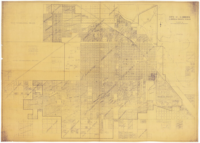

Print $40.00
- Digital $50.00
City of Lubbock, Lubbock County, Texas
1946
Size 54.3 x 39.1 inches
Map/Doc 89902
[Sketch showing H. & T. C. R. R. Co. Blk. 48, S. P. R. R. Co. Blk. I, and E. T. R. R. Co. Blk. I]
![89625, [Sketch showing H. & T. C. R. R. Co. Blk. 48, S. P. R. R. Co. Blk. I, and E. T. R. R. Co. Blk. I], Twichell Survey Records](https://historictexasmaps.com/wmedia_w700/maps/89625-1.tif.jpg)
![89625, [Sketch showing H. & T. C. R. R. Co. Blk. 48, S. P. R. R. Co. Blk. I, and E. T. R. R. Co. Blk. I], Twichell Survey Records](https://historictexasmaps.com/wmedia_w700/maps/89625-1.tif.jpg)
Print $40.00
- Digital $50.00
[Sketch showing H. & T. C. R. R. Co. Blk. 48, S. P. R. R. Co. Blk. I, and E. T. R. R. Co. Blk. I]
Size 51.1 x 9.4 inches
Map/Doc 89625
Map Prepared from Data by Original Field Book by W.D. Twichell


Print $40.00
- Digital $50.00
Map Prepared from Data by Original Field Book by W.D. Twichell
Size 64.0 x 40.0 inches
Map/Doc 89733
You may also like
Calhoun County NRC Article 33.136 Location Key Sheet
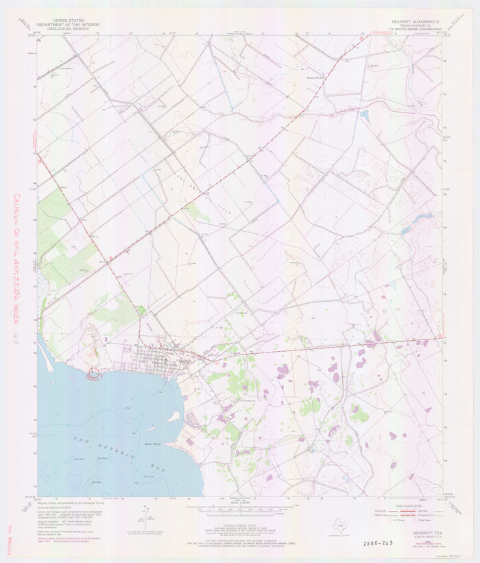

Print $20.00
- Digital $50.00
Calhoun County NRC Article 33.136 Location Key Sheet
1973
Size 27.0 x 23.0 inches
Map/Doc 87907
King County, Texas
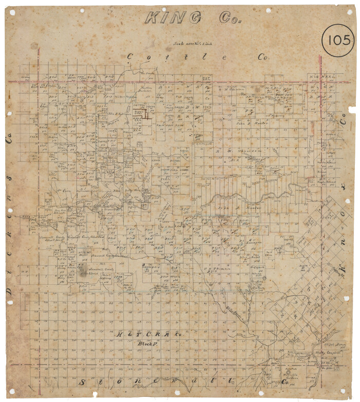

Print $20.00
- Digital $50.00
King County, Texas
1880
Size 20.0 x 19.4 inches
Map/Doc 737
Midland County Sketch File 4


Print $20.00
- Digital $50.00
Midland County Sketch File 4
1886
Size 16.3 x 18.9 inches
Map/Doc 12082
Hays County Working Sketch 16


Print $20.00
- Digital $50.00
Hays County Working Sketch 16
1970
Size 34.3 x 38.0 inches
Map/Doc 66090
Guadalupe River, Watershed [of the Guadalupe River]
![65059, Guadalupe River, Watershed [of the Guadalupe River], General Map Collection](https://historictexasmaps.com/wmedia_w700/maps/65059-GC.tif.jpg)
![65059, Guadalupe River, Watershed [of the Guadalupe River], General Map Collection](https://historictexasmaps.com/wmedia_w700/maps/65059-GC.tif.jpg)
Print $6.00
- Digital $50.00
Guadalupe River, Watershed [of the Guadalupe River]
1925
Size 30.1 x 33.4 inches
Map/Doc 65059
Cass County Rolled Sketch OF


Print $20.00
- Digital $50.00
Cass County Rolled Sketch OF
1937
Size 16.2 x 24.3 inches
Map/Doc 5414
Gillespie County Sketch File 17


Print $8.00
- Digital $50.00
Gillespie County Sketch File 17
1994
Size 11.2 x 8.7 inches
Map/Doc 24157
Denton County Working Sketch 25
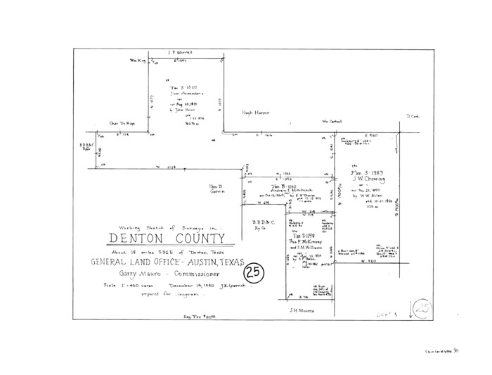

Print $20.00
- Digital $50.00
Denton County Working Sketch 25
1990
Size 13.7 x 18.0 inches
Map/Doc 68630
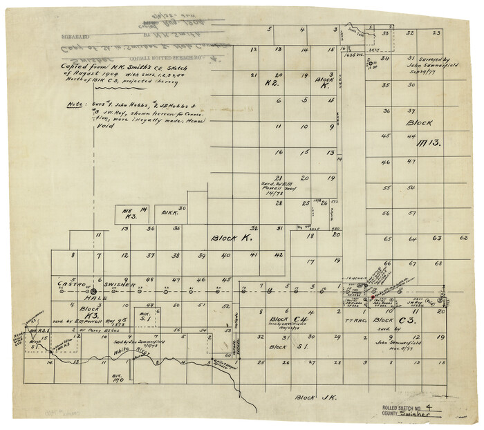
Swisher County Rolled Sketch 4

Print $20.00
- Digital $50.00
Swisher County Rolled Sketch 4
1904
Size 16.2 x 18.0 inches
Map/Doc 7905
Crockett County Sketch File 39


Print $20.00
- Digital $50.00
Crockett County Sketch File 39
1889
Size 19.7 x 32.6 inches
Map/Doc 11221
![91791, [H. & T. C. Block 47, Sections 58-66 and part of Block 3], Twichell Survey Records](https://historictexasmaps.com/wmedia_w1800h1800/maps/91791-1.tif.jpg)

