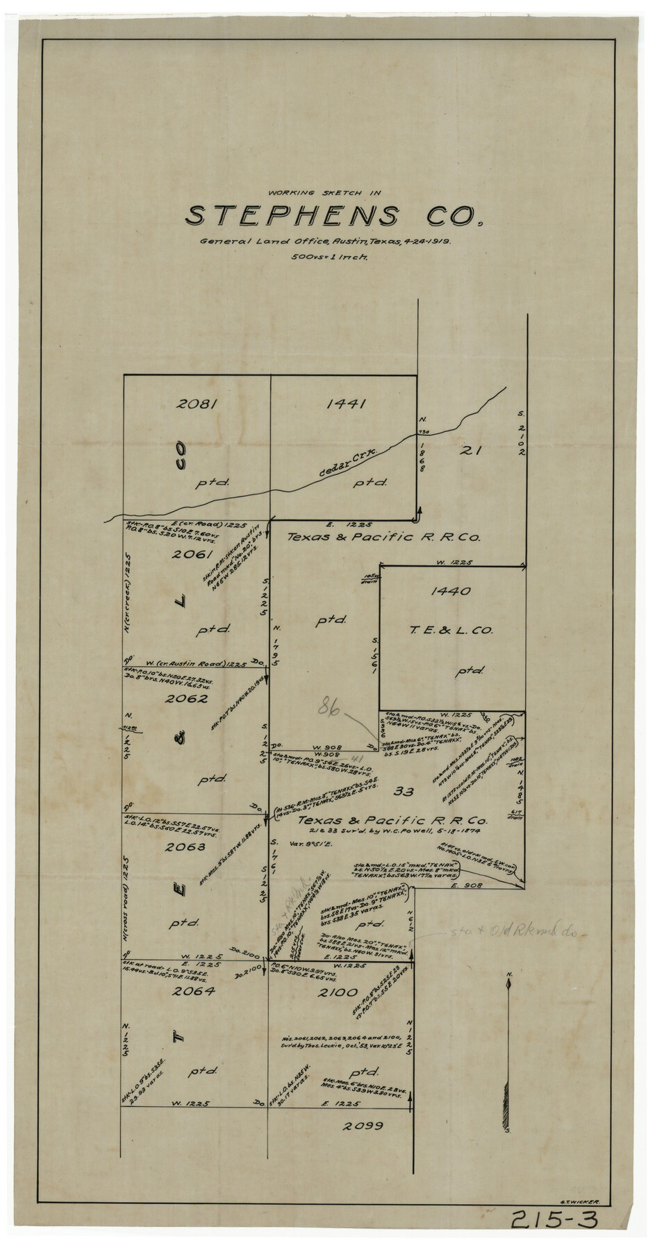
Working Sketch in Stephens County
215-3
-
Map/Doc
91903
-
Collection
Twichell Survey Records
-
Object Dates
4/24/1919 (Creation Date)
-
People and Organizations
General Land Office (Publisher)
-
Counties
Stephens
-
Height x Width
11.1 x 20.6 inches
28.2 x 52.3 cm
Part of: Twichell Survey Records
[County lines and corners]
![90801, [County lines and corners], Twichell Survey Records](https://historictexasmaps.com/wmedia_w700/maps/90801-1.tif.jpg)
Print $20.00
- Digital $50.00
[County lines and corners]
Size 22.8 x 17.8 inches
Map/Doc 90801
Sketch Showing Section 3, Block JW, Subdivided to Show Quantity East of Texas Sections

Print $40.00
- Digital $50.00
Sketch Showing Section 3, Block JW, Subdivided to Show Quantity East of Texas Sections
Size 5.8 x 49.9 inches
Map/Doc 91303
[Sketch showing surveys in Blocks 70, 71 and 72 surrounding the town of Toyah]
![91750, [Sketch showing surveys in Blocks 70, 71 and 72 surrounding the town of Toyah], Twichell Survey Records](https://historictexasmaps.com/wmedia_w700/maps/91750-1.tif.jpg)
Print $20.00
- Digital $50.00
[Sketch showing surveys in Blocks 70, 71 and 72 surrounding the town of Toyah]
Size 44.9 x 26.1 inches
Map/Doc 91750
[Township 5-S, Blocks 36, 37 & 38]
![92292, [Township 5-S, Blocks 36, 37 & 38], Twichell Survey Records](https://historictexasmaps.com/wmedia_w700/maps/92292-1.tif.jpg)
Print $20.00
- Digital $50.00
[Township 5-S, Blocks 36, 37 & 38]
1952
Size 27.7 x 26.6 inches
Map/Doc 92292
[SE/4 of NW/4 of King Co.]
![89925, [SE/4 of NW/4 of King Co.], Twichell Survey Records](https://historictexasmaps.com/wmedia_w700/maps/89925-1.tif.jpg)
Print $40.00
- Digital $50.00
[SE/4 of NW/4 of King Co.]
Size 43.7 x 55.5 inches
Map/Doc 89925
[H. & T. C. RR. Company, Block 47, Sections 47- 56 Corrected]
![91412, [H. & T. C. RR. Company, Block 47, Sections 47- 56 Corrected], Twichell Survey Records](https://historictexasmaps.com/wmedia_w700/maps/91412-1.tif.jpg)
Print $2.00
- Digital $50.00
[H. & T. C. RR. Company, Block 47, Sections 47- 56 Corrected]
Size 11.6 x 9.2 inches
Map/Doc 91412
Plat of South Side Addition on Section 37 Block 17, Wheeler County, Texas

Print $20.00
- Digital $50.00
Plat of South Side Addition on Section 37 Block 17, Wheeler County, Texas
Size 12.0 x 16.9 inches
Map/Doc 92103
[Leagues 464-467 and vicinity]
![91649, [Leagues 464-467 and vicinity], Twichell Survey Records](https://historictexasmaps.com/wmedia_w700/maps/91649-1.tif.jpg)
Print $2.00
- Digital $50.00
[Leagues 464-467 and vicinity]
Size 10.6 x 8.1 inches
Map/Doc 91649
[Sketch of Randall County]
![91757, [Sketch of Randall County], Twichell Survey Records](https://historictexasmaps.com/wmedia_w700/maps/91757-1.tif.jpg)
Print $20.00
- Digital $50.00
[Sketch of Randall County]
Size 21.4 x 18.5 inches
Map/Doc 91757
[R. T. Bucy's Survey 3, League 321]
![91295, [R. T. Bucy's Survey 3, League 321], Twichell Survey Records](https://historictexasmaps.com/wmedia_w700/maps/91295-1.tif.jpg)
Print $20.00
- Digital $50.00
[R. T. Bucy's Survey 3, League 321]
Size 12.2 x 18.7 inches
Map/Doc 91295
[Sections 47-76 and part of Block 3]
![91807, [Sections 47-76 and part of Block 3], Twichell Survey Records](https://historictexasmaps.com/wmedia_w700/maps/91807-1.tif.jpg)
Print $20.00
- Digital $50.00
[Sections 47-76 and part of Block 3]
Size 34.1 x 31.7 inches
Map/Doc 91807
Official Map, City of Lubbock, Lubbock County, Texas

Print $20.00
- Digital $50.00
Official Map, City of Lubbock, Lubbock County, Texas
1927
Size 24.1 x 32.9 inches
Map/Doc 91329
You may also like
Uvalde County Working Sketch 9

Print $20.00
- Digital $50.00
Uvalde County Working Sketch 9
1942
Size 18.3 x 24.4 inches
Map/Doc 72079
Upton County Working Sketch 42

Print $40.00
- Digital $50.00
Upton County Working Sketch 42
1962
Size 56.0 x 42.9 inches
Map/Doc 69538
Lyons Subdivision North Part Block 79

Print $20.00
- Digital $50.00
Lyons Subdivision North Part Block 79
Size 19.6 x 24.5 inches
Map/Doc 92795
[Sketch in DeWitt County]
![78383, [Sketch in DeWitt County], General Map Collection](https://historictexasmaps.com/wmedia_w700/maps/78383.tif.jpg)
Print $3.00
- Digital $50.00
[Sketch in DeWitt County]
Size 9.3 x 10.1 inches
Map/Doc 78383
San Antonio & Aransas Pass RR Co., Fort Bend County, Texas

Print $20.00
- Digital $50.00
San Antonio & Aransas Pass RR Co., Fort Bend County, Texas
1898
Size 10.5 x 31.0 inches
Map/Doc 64143
Texas Map Co's Map of Navarro County

Print $20.00
Texas Map Co's Map of Navarro County
1901
Size 31.3 x 36.3 inches
Map/Doc 96625
Umbarger in Randall County, Texas

Print $20.00
- Digital $50.00
Umbarger in Randall County, Texas
1905
Size 31.9 x 30.8 inches
Map/Doc 92158
Foard County Working Sketch 10

Print $20.00
- Digital $50.00
Foard County Working Sketch 10
1977
Size 32.0 x 43.7 inches
Map/Doc 69201
Competing Transportation Lines between Boston, New York, Philadelphia, Baltimore, and the South Atlantic and Gulf States

Print $20.00
- Digital $50.00
Competing Transportation Lines between Boston, New York, Philadelphia, Baltimore, and the South Atlantic and Gulf States
1881
Size 15.1 x 17.8 inches
Map/Doc 95907
Anderson County Working Sketch 14

Print $20.00
- Digital $50.00
Anderson County Working Sketch 14
1933
Size 20.3 x 26.0 inches
Map/Doc 67014
[Worksheets related to the Wilson Strickland survey and vicinity]
![89714, [Vicinity and related to the Wilson Strickland Survey], Twichell Survey Records](https://historictexasmaps.com/wmedia_w700/maps/89714-1.tif.jpg)
Print $20.00
- Digital $50.00
[Worksheets related to the Wilson Strickland survey and vicinity]
Size 40.9 x 43.1 inches
Map/Doc 89714
Upton County Boundary File 1

Print $5.00
- Digital $50.00
Upton County Boundary File 1
Size 13.4 x 9.0 inches
Map/Doc 59506