[Sketch showing Block M-20, Sections 9 through 46 and Block 22, Sections 1 through 12]
188-63
-
Map/Doc
91717
-
Collection
Twichell Survey Records
-
Counties
Potter
-
Height x Width
10.9 x 13.9 inches
27.7 x 35.3 cm
Part of: Twichell Survey Records
General Highway Map, Floyd County, Texas


Print $20.00
- Digital $50.00
General Highway Map, Floyd County, Texas
1950
Size 18.8 x 25.7 inches
Map/Doc 92973
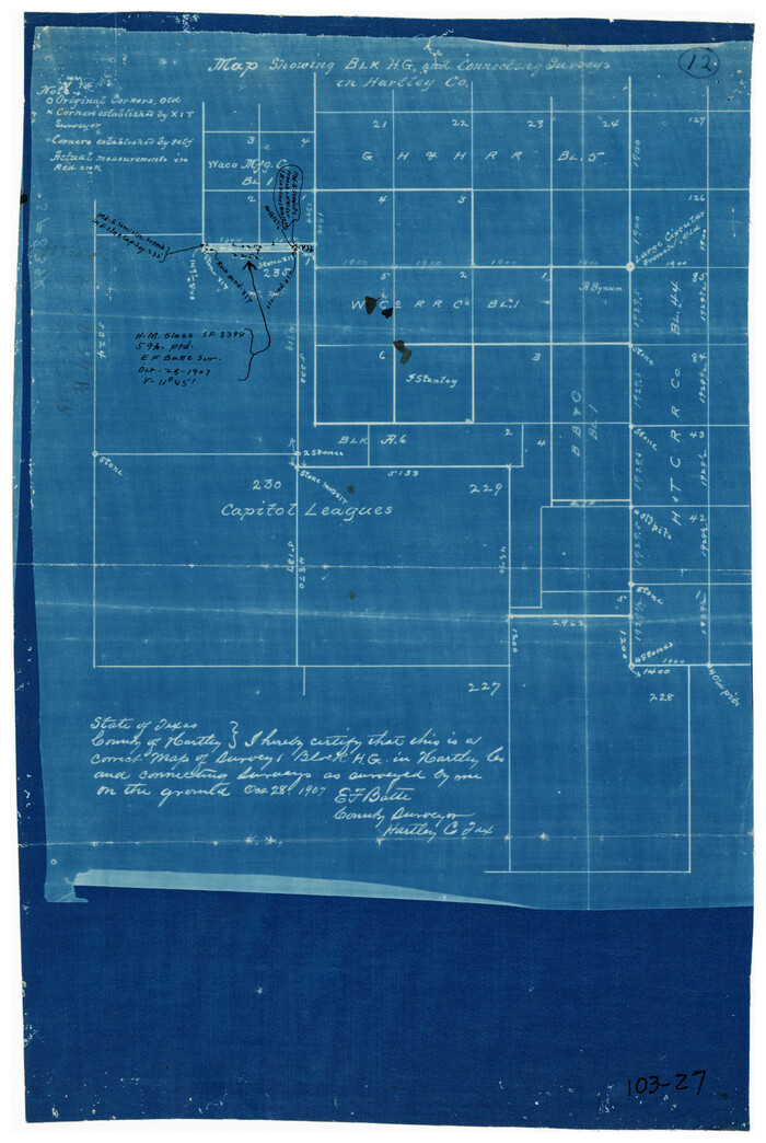
Map Showing Block HG and Connecting Surveys

Print $2.00
- Digital $50.00
Map Showing Block HG and Connecting Surveys
1907
Size 9.2 x 13.7 inches
Map/Doc 90681
[Runnels County School Land and river surveys adjacent]
![91580, [Runnels County School Land and river surveys adjacent], Twichell Survey Records](https://historictexasmaps.com/wmedia_w700/maps/91580-1.tif.jpg)
![91580, [Runnels County School Land and river surveys adjacent], Twichell Survey Records](https://historictexasmaps.com/wmedia_w700/maps/91580-1.tif.jpg)
Print $2.00
- Digital $50.00
[Runnels County School Land and river surveys adjacent]
1945
Size 13.5 x 8.7 inches
Map/Doc 91580
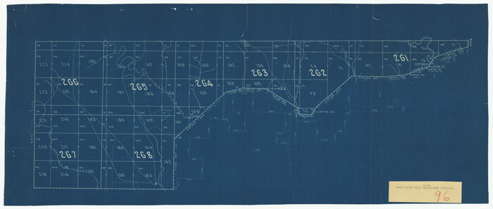
Bravo Deed, Instrument 24, Tract A and Tract B

Print $20.00
- Digital $50.00
Bravo Deed, Instrument 24, Tract A and Tract B
Size 33.4 x 14.3 inches
Map/Doc 91434
[Capitol Leagues 633, 634, 635, 636, and 637]
![90998, [Capitol Leagues 633, 634, 635, 636, and 637], Twichell Survey Records](https://historictexasmaps.com/wmedia_w700/maps/90998-1.tif.jpg)
![90998, [Capitol Leagues 633, 634, 635, 636, and 637], Twichell Survey Records](https://historictexasmaps.com/wmedia_w700/maps/90998-1.tif.jpg)
Print $20.00
- Digital $50.00
[Capitol Leagues 633, 634, 635, 636, and 637]
Size 23.2 x 10.2 inches
Map/Doc 90998
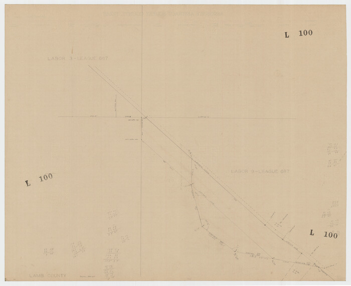
Western Cotton Oil Co. Property Lamb County, Texas

Print $20.00
- Digital $50.00
Western Cotton Oil Co. Property Lamb County, Texas
1951
Size 24.1 x 19.6 inches
Map/Doc 92165
[H. & T. C. Block 47, East Line and Red River RR. Co. Block Z and vicinity]
![92974, [H. & T. C. Block 47, East Line and Red River RR. Co. Block Z and vicinity], Twichell Survey Records](https://historictexasmaps.com/wmedia_w700/maps/92974-1.tif.jpg)
![92974, [H. & T. C. Block 47, East Line and Red River RR. Co. Block Z and vicinity], Twichell Survey Records](https://historictexasmaps.com/wmedia_w700/maps/92974-1.tif.jpg)
Print $20.00
- Digital $50.00
[H. & T. C. Block 47, East Line and Red River RR. Co. Block Z and vicinity]
Size 17.4 x 14.0 inches
Map/Doc 92974
[S.E. corner of Sec. 48, Blk. 35 T5N to N.E. corner of Sec. 1, Blk. 35 T5N]
![89826, [S.E. corner of Sec. 48, Blk. 35 T5N to N.E. corner of Sec. 1, Blk. 35 T5N], Twichell Survey Records](https://historictexasmaps.com/wmedia_w700/maps/89826-1.tif.jpg)
![89826, [S.E. corner of Sec. 48, Blk. 35 T5N to N.E. corner of Sec. 1, Blk. 35 T5N], Twichell Survey Records](https://historictexasmaps.com/wmedia_w700/maps/89826-1.tif.jpg)
Print $40.00
- Digital $50.00
[S.E. corner of Sec. 48, Blk. 35 T5N to N.E. corner of Sec. 1, Blk. 35 T5N]
1907
Size 7.2 x 72.9 inches
Map/Doc 89826
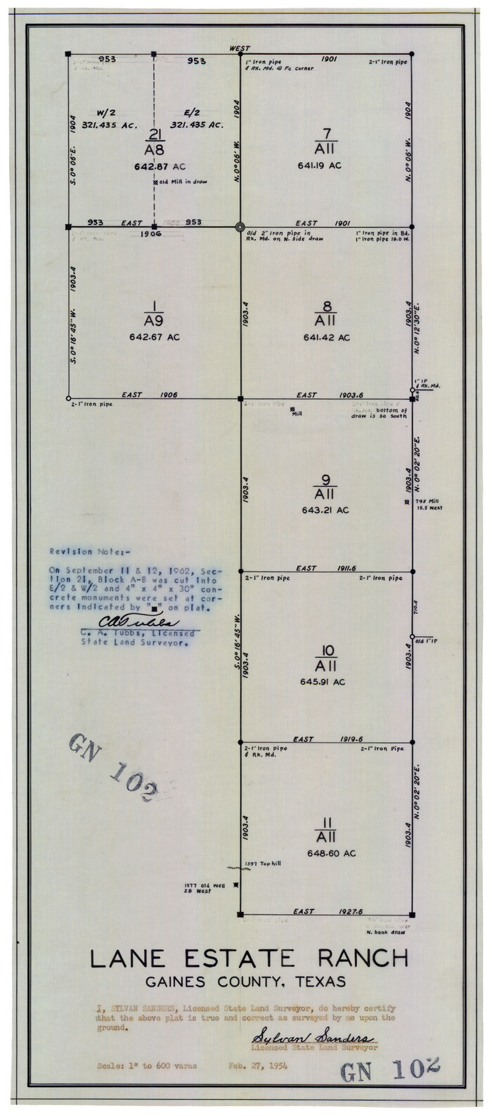
Lane Estate Ranch, Gaines County, Texas

Print $20.00
- Digital $50.00
Lane Estate Ranch, Gaines County, Texas
1954
Size 9.1 x 20.8 inches
Map/Doc 92677
[Sketch showing Blocks B-11, O-18, P and Mc in case of Laneer vs. Bivens]
![91726, [Sketch showing Blocks B-11, O-18, P and Mc in case of Laneer vs. Bivens], Twichell Survey Records](https://historictexasmaps.com/wmedia_w700/maps/91726-1.tif.jpg)
![91726, [Sketch showing Blocks B-11, O-18, P and Mc in case of Laneer vs. Bivens], Twichell Survey Records](https://historictexasmaps.com/wmedia_w700/maps/91726-1.tif.jpg)
Print $20.00
- Digital $50.00
[Sketch showing Blocks B-11, O-18, P and Mc in case of Laneer vs. Bivens]
Size 21.2 x 18.6 inches
Map/Doc 91726
[T. & P. Blocks 33 and 34, Townships 4N and 5N]
![90625, [T. & P. Blocks 33 and 34, Townships 4N and 5N], Twichell Survey Records](https://historictexasmaps.com/wmedia_w700/maps/90625-1.tif.jpg)
![90625, [T. & P. Blocks 33 and 34, Townships 4N and 5N], Twichell Survey Records](https://historictexasmaps.com/wmedia_w700/maps/90625-1.tif.jpg)
Print $20.00
- Digital $50.00
[T. & P. Blocks 33 and 34, Townships 4N and 5N]
Size 14.4 x 17.7 inches
Map/Doc 90625
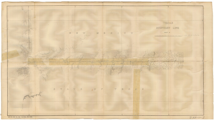
Texas Boundary Line

Print $20.00
- Digital $50.00
Texas Boundary Line
Size 21.3 x 12.0 inches
Map/Doc 92079
You may also like
Polk County Sketch File 11


Print $4.00
- Digital $50.00
Polk County Sketch File 11
Size 9.2 x 8.1 inches
Map/Doc 34142
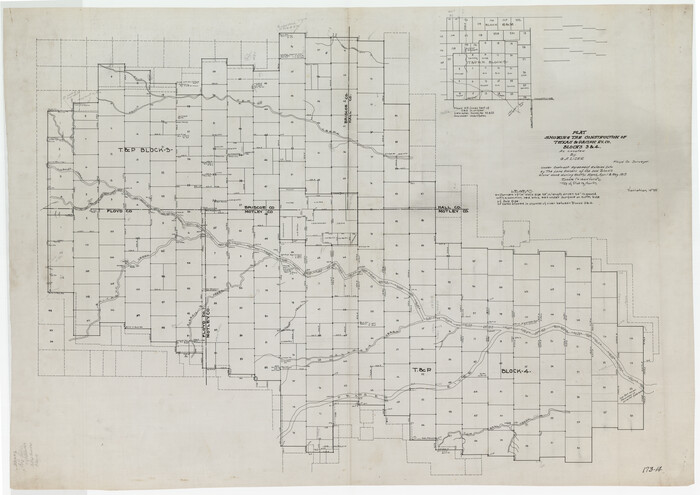
Plat Showing the Construction of Texas & Pacific Ry. Co. Blocks 3 & 4 As Located by G. A. Lider

Print $40.00
- Digital $50.00
Plat Showing the Construction of Texas & Pacific Ry. Co. Blocks 3 & 4 As Located by G. A. Lider
1913
Size 51.4 x 36.3 inches
Map/Doc 89931
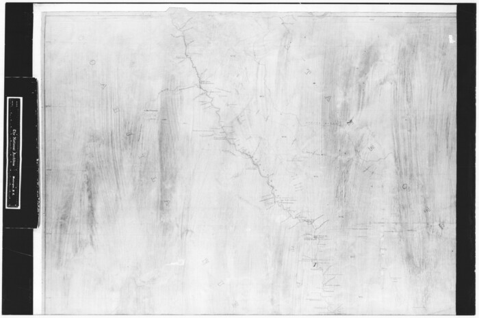
Index Map No. 1 - Rio Bravo del Norte section of boundary between the United States & Mexico; agreed upon by the Joint Commission under the Treaty of Guadalupe Hidalgo

Print $20.00
- Digital $50.00
Index Map No. 1 - Rio Bravo del Norte section of boundary between the United States & Mexico; agreed upon by the Joint Commission under the Treaty of Guadalupe Hidalgo
1852
Size 18.3 x 27.5 inches
Map/Doc 72860
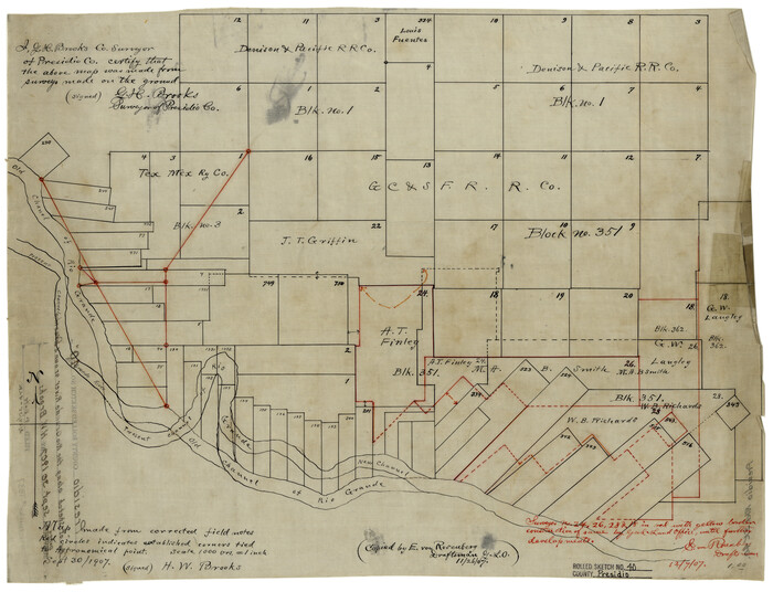
Presidio County Rolled Sketch 40

Print $20.00
- Digital $50.00
Presidio County Rolled Sketch 40
1907
Size 16.5 x 21.5 inches
Map/Doc 7337
Terrell County


Print $20.00
- Digital $50.00
Terrell County
1931
Size 40.0 x 33.4 inches
Map/Doc 77433
Working Sketch in Stephens County


Print $2.00
- Digital $50.00
Working Sketch in Stephens County
1919
Size 9.2 x 11.4 inches
Map/Doc 91911
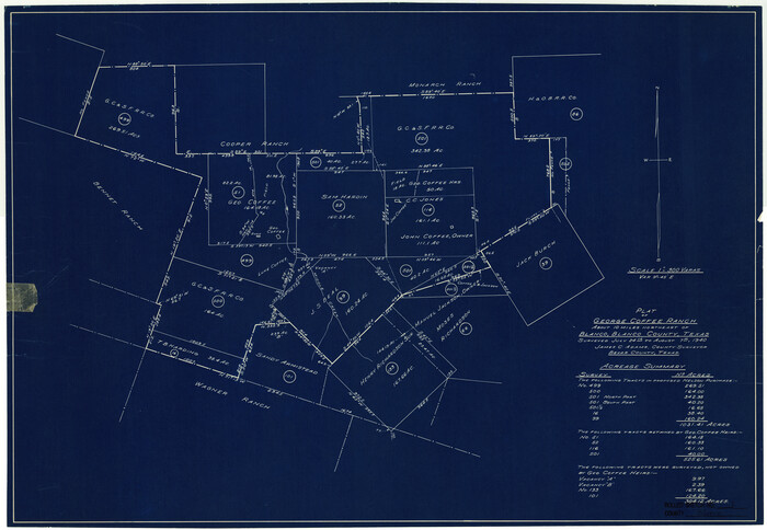
Blanco County Rolled Sketch 8

Print $20.00
- Digital $50.00
Blanco County Rolled Sketch 8
Size 19.1 x 27.7 inches
Map/Doc 5145
Cottle County Working Sketch 10


Print $20.00
- Digital $50.00
Cottle County Working Sketch 10
1937
Size 18.1 x 15.6 inches
Map/Doc 68320
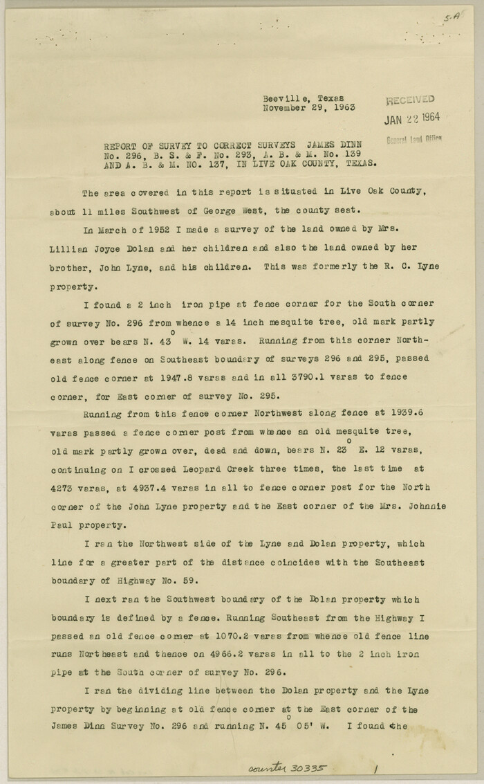
Live Oak County Sketch File 34

Print $28.00
- Digital $50.00
Live Oak County Sketch File 34
1963
Size 31.0 x 23.9 inches
Map/Doc 12011
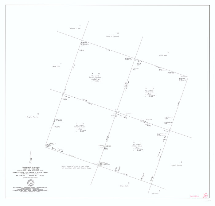
Coryell County Working Sketch 30

Print $20.00
- Digital $50.00
Coryell County Working Sketch 30
2001
Size 37.1 x 38.7 inches
Map/Doc 68237
[Area along West County Line]
![90833, [Area along West County Line], Twichell Survey Records](https://historictexasmaps.com/wmedia_w700/maps/90833-2.tif.jpg)
![90833, [Area along West County Line], Twichell Survey Records](https://historictexasmaps.com/wmedia_w700/maps/90833-2.tif.jpg)
Print $2.00
- Digital $50.00
[Area along West County Line]
Size 7.0 x 9.6 inches
Map/Doc 90833
Houston County Working Sketch 29


Print $20.00
- Digital $50.00
Houston County Working Sketch 29
1990
Size 23.4 x 23.1 inches
Map/Doc 66259
![91717, [Sketch showing Block M-20, Sections 9 through 46 and Block 22, Sections 1 through 12], Twichell Survey Records](https://historictexasmaps.com/wmedia_w1800h1800/maps/91717-1.tif.jpg)