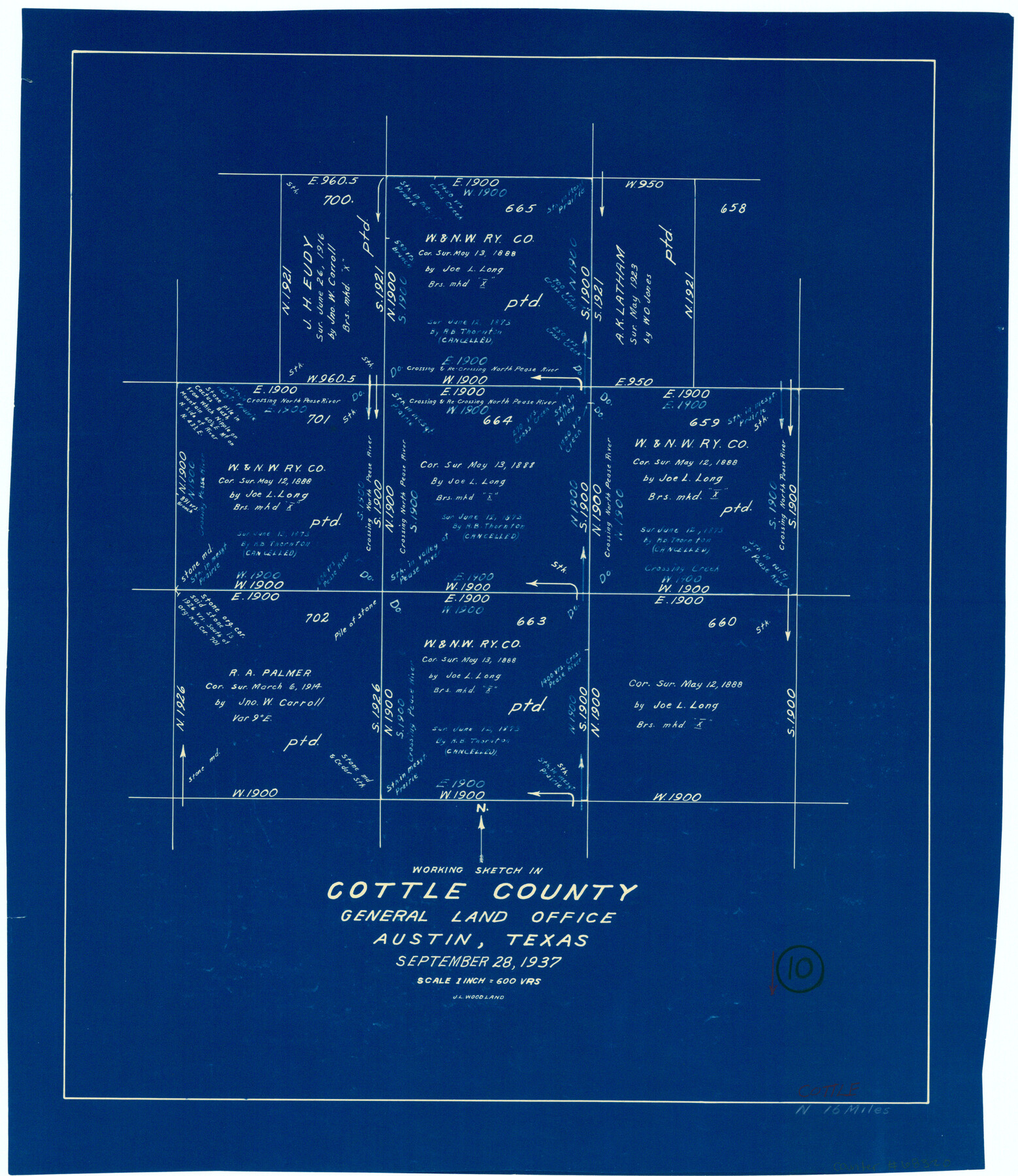
Cottle County Working Sketch 10
-
Map/Doc
68320
-
Collection
General Map Collection
-
Object Dates
9/28/1937 (Creation Date)
-
People and Organizations
J.L. Woodland (Draftsman)
-
Counties
Cottle
-
Subjects
Surveying Working Sketch
-
Height x Width
18.1 x 15.6 inches
46.0 x 39.6 cm
-
Scale
1" = 600 varas
Part of: General Map Collection
Loving County Working Sketch 11

Print $40.00
- Digital $50.00
Loving County Working Sketch 11
1957
Size 21.6 x 50.9 inches
Map/Doc 70644
Young County Sketch File 19

Print $34.00
- Digital $50.00
Young County Sketch File 19
Size 14.5 x 8.9 inches
Map/Doc 40887
Fort Bend County Sketch File 32

Print $6.00
- Digital $50.00
Fort Bend County Sketch File 32
1957
Size 14.2 x 8.7 inches
Map/Doc 23002
Flight Mission No. BRA-16M, Frame 137, Jefferson County

Print $20.00
- Digital $50.00
Flight Mission No. BRA-16M, Frame 137, Jefferson County
1953
Size 18.7 x 22.3 inches
Map/Doc 85743
Texas-Louisiana Gulf Coastal Region showing Oil & Gas Fields & Prospects, Pipe Lines, Refineries & Principal Highways

Print $20.00
- Digital $50.00
Texas-Louisiana Gulf Coastal Region showing Oil & Gas Fields & Prospects, Pipe Lines, Refineries & Principal Highways
1933
Size 22.4 x 44.2 inches
Map/Doc 96874
Cottle County Sketch File 1

Print $20.00
- Digital $50.00
Cottle County Sketch File 1
1882
Size 20.7 x 18.9 inches
Map/Doc 11189
Comal County Rolled Sketch 4

Print $20.00
- Digital $50.00
Comal County Rolled Sketch 4
1981
Size 18.8 x 24.5 inches
Map/Doc 5539
Donley County Working Sketch 5

Print $40.00
- Digital $50.00
Donley County Working Sketch 5
Size 54.3 x 32.9 inches
Map/Doc 68738
South Part Pecos County

Print $20.00
- Digital $50.00
South Part Pecos County
1976
Size 36.8 x 44.2 inches
Map/Doc 73262
Freestone County State Real Property Sketch 1

Print $20.00
- Digital $50.00
Freestone County State Real Property Sketch 1
1997
Size 24.3 x 35.2 inches
Map/Doc 80128
Runnels County Sketch File 17

Print $6.00
Runnels County Sketch File 17
Size 11.0 x 13.6 inches
Map/Doc 35474
Kleberg County Rolled Sketch 10-12

Print $20.00
- Digital $50.00
Kleberg County Rolled Sketch 10-12
1951
Size 38.8 x 34.9 inches
Map/Doc 9371
You may also like
Jack County Sketch File 2

Print $6.00
- Digital $50.00
Jack County Sketch File 2
1856
Size 8.8 x 8.0 inches
Map/Doc 27501
Sec. 22, Block 103

Print $20.00
- Digital $50.00
Sec. 22, Block 103
Size 13.1 x 14.8 inches
Map/Doc 90120
[Right of Way & Track Map, The Texas & Pacific Ry. Co. Main Line]
![64660, [Right of Way & Track Map, The Texas & Pacific Ry. Co. Main Line], General Map Collection](https://historictexasmaps.com/wmedia_w700/maps/64660.tif.jpg)
Print $20.00
- Digital $50.00
[Right of Way & Track Map, The Texas & Pacific Ry. Co. Main Line]
Size 11.0 x 18.6 inches
Map/Doc 64660
Kinney County Working Sketch 1

Print $20.00
- Digital $50.00
Kinney County Working Sketch 1
Size 22.6 x 24.0 inches
Map/Doc 70183
Novissima et Accuratissima Totius Americae Descriptio

Print $20.00
- Digital $50.00
Novissima et Accuratissima Totius Americae Descriptio
1677
Size 20.9 x 25.0 inches
Map/Doc 93819
Wilbarger County Sketch File 3

Print $26.00
- Digital $50.00
Wilbarger County Sketch File 3
Size 7.4 x 13.9 inches
Map/Doc 40166
Flight Mission No. DIX-10P, Frame 145, Aransas County

Print $20.00
- Digital $50.00
Flight Mission No. DIX-10P, Frame 145, Aransas County
1956
Size 18.7 x 22.3 inches
Map/Doc 83947

Baie de Galvez-Town

Print $20.00
- Digital $50.00
Baie de Galvez-Town
1820
Size 10.3 x 12.9 inches
Map/Doc 95832

Dimmit County Working Sketch 58

Print $20.00
- Digital $50.00
Dimmit County Working Sketch 58
2017
Size 24.2 x 36.2 inches
Map/Doc 94121
