[Sections 155-162, Toyah Creek Irrigation Company and surrounding surveys]
135-2-B
-
Map/Doc
91037
-
Collection
Twichell Survey Records
-
Object Dates
1916 (Creation Date)
-
People and Organizations
B.H. Shields (Surveyor/Engineer)
-
Counties
King
-
Height x Width
12.8 x 38.7 inches
32.5 x 98.3 cm
Part of: Twichell Survey Records
University of Texas System University Lands


Print $20.00
- Digital $50.00
University of Texas System University Lands
1936
Size 23.2 x 17.6 inches
Map/Doc 93236
Working Sketch in Eastland County


Print $20.00
- Digital $50.00
Working Sketch in Eastland County
1919
Size 20.1 x 14.6 inches
Map/Doc 90931
[Sketch highlighting Bob Reid and Fred Turner surveys]
![91693, [Sketch highlighting Bob Reid and Fred Turner surveys], Twichell Survey Records](https://historictexasmaps.com/wmedia_w700/maps/91693-1.tif.jpg)
![91693, [Sketch highlighting Bob Reid and Fred Turner surveys], Twichell Survey Records](https://historictexasmaps.com/wmedia_w700/maps/91693-1.tif.jpg)
Print $20.00
- Digital $50.00
[Sketch highlighting Bob Reid and Fred Turner surveys]
Size 12.5 x 17.8 inches
Map/Doc 91693
[PSL Block A-12]
![93230, [PSL Block A-12], Twichell Survey Records](https://historictexasmaps.com/wmedia_w700/maps/93230-1.tif.jpg)
![93230, [PSL Block A-12], Twichell Survey Records](https://historictexasmaps.com/wmedia_w700/maps/93230-1.tif.jpg)
Print $20.00
- Digital $50.00
[PSL Block A-12]
Size 23.8 x 20.3 inches
Map/Doc 93230
West Half Section 4, Block C-33, Gaines County, Texas
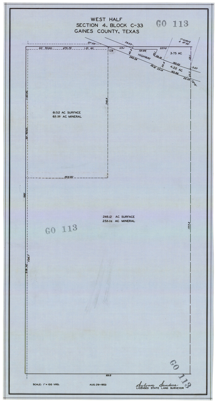

Print $20.00
- Digital $50.00
West Half Section 4, Block C-33, Gaines County, Texas
1953
Size 12.9 x 23.7 inches
Map/Doc 92667
Sketch Showing Reed and Meeker Vacancy, Cochran County, Texas
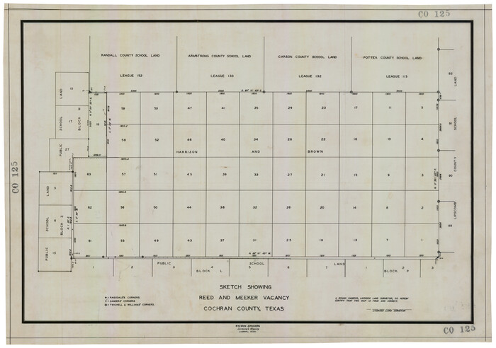

Print $20.00
- Digital $50.00
Sketch Showing Reed and Meeker Vacancy, Cochran County, Texas
Size 28.9 x 20.3 inches
Map/Doc 92514
Bravo Deed, Instrument 24, Tract A and Tract B
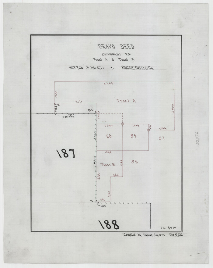

Print $3.00
- Digital $50.00
Bravo Deed, Instrument 24, Tract A and Tract B
Size 11.4 x 14.2 inches
Map/Doc 91479
Ellis Addition to the City of Lubbock, Being a Subdivision of a Part of the SW/4 of SW/4 Sec. 4, Blk. A


Print $3.00
- Digital $50.00
Ellis Addition to the City of Lubbock, Being a Subdivision of a Part of the SW/4 of SW/4 Sec. 4, Blk. A
1952
Size 9.4 x 11.9 inches
Map/Doc 92709
T. C. Ivey Ranch Block D


Print $20.00
- Digital $50.00
T. C. Ivey Ranch Block D
Size 17.5 x 14.8 inches
Map/Doc 92846
[Capitol Leagues in Lamb County]
![91002, [Capitol Leagues in Lamb County], Twichell Survey Records](https://historictexasmaps.com/wmedia_w700/maps/91002-1.tif.jpg)
![91002, [Capitol Leagues in Lamb County], Twichell Survey Records](https://historictexasmaps.com/wmedia_w700/maps/91002-1.tif.jpg)
Print $20.00
- Digital $50.00
[Capitol Leagues in Lamb County]
Size 19.5 x 23.2 inches
Map/Doc 91002
[Tracing from Mabry's Working Sketch in Southwest Oldham County]
![91474, [Tracing from Mabry's Working Sketch in Southwest Oldham County], Twichell Survey Records](https://historictexasmaps.com/wmedia_w700/maps/91474-1.tif.jpg)
![91474, [Tracing from Mabry's Working Sketch in Southwest Oldham County], Twichell Survey Records](https://historictexasmaps.com/wmedia_w700/maps/91474-1.tif.jpg)
Print $20.00
- Digital $50.00
[Tracing from Mabry's Working Sketch in Southwest Oldham County]
Size 19.3 x 19.8 inches
Map/Doc 91474
Sketch of Surveys in Crosby & Garza Cos.
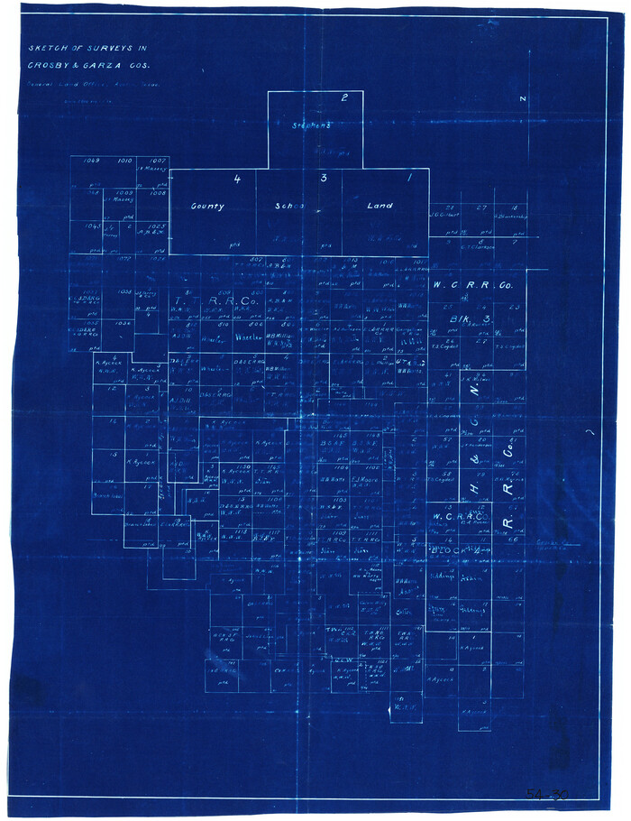

Print $20.00
- Digital $50.00
Sketch of Surveys in Crosby & Garza Cos.
Size 18.0 x 23.8 inches
Map/Doc 90347
You may also like
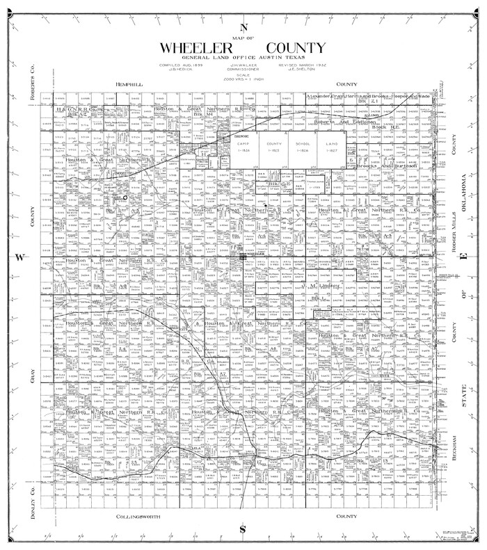
Wheeler County

Print $20.00
- Digital $50.00
Wheeler County
1932
Size 39.5 x 35.0 inches
Map/Doc 77456
Montgomery County Working Sketch 1


Print $20.00
- Digital $50.00
Montgomery County Working Sketch 1
1912
Size 20.8 x 17.1 inches
Map/Doc 71107
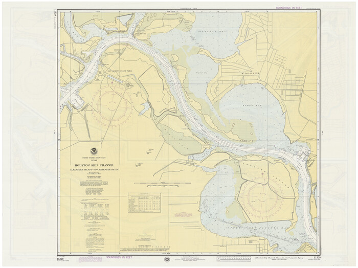
Houston Ship Channel, Alexander Island to Carpenter Bayou

Print $20.00
- Digital $50.00
Houston Ship Channel, Alexander Island to Carpenter Bayou
1975
Size 35.1 x 46.6 inches
Map/Doc 69911
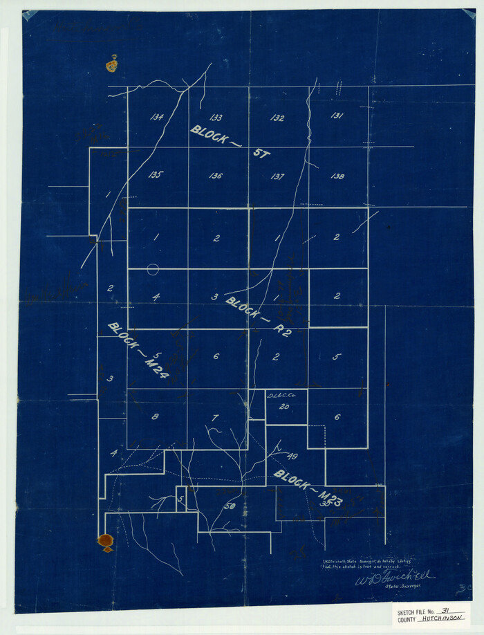
Hutchinson County Sketch File 31

Print $20.00
- Digital $50.00
Hutchinson County Sketch File 31
Size 19.9 x 15.2 inches
Map/Doc 11819
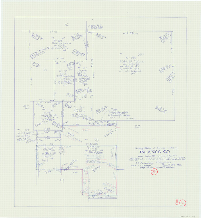
Blanco County Working Sketch 36

Print $20.00
- Digital $50.00
Blanco County Working Sketch 36
1979
Size 23.8 x 22.0 inches
Map/Doc 67396
Gaines County Sketch File 12
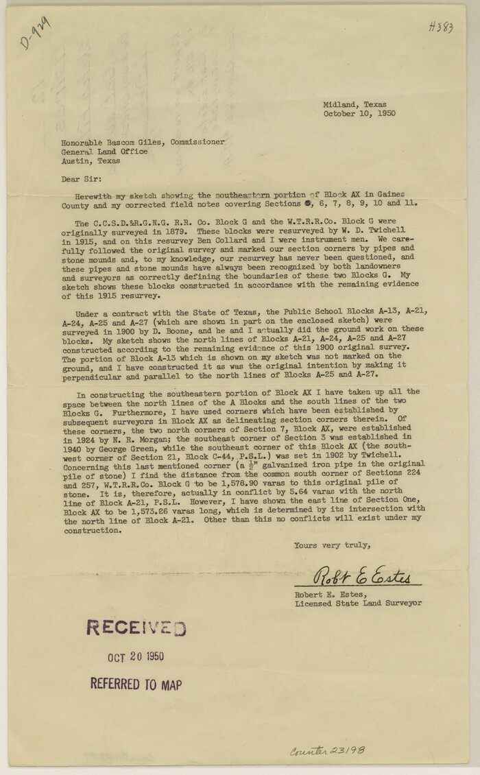

Print $4.00
- Digital $50.00
Gaines County Sketch File 12
1950
Size 14.3 x 8.8 inches
Map/Doc 23198
Proposed bombing and machine gun restricted areas along Gulf of Mexico from San Luis Pass to Aransas Pass
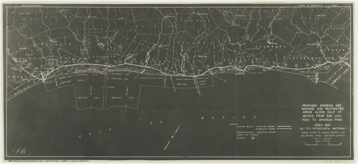

Print $20.00
- Digital $50.00
Proposed bombing and machine gun restricted areas along Gulf of Mexico from San Luis Pass to Aransas Pass
1941
Size 11.1 x 24.1 inches
Map/Doc 3024
Maps of Gulf Intracoastal Waterway, Texas - Sabine River to the Rio Grande and connecting waterways including ship channels


Print $20.00
- Digital $50.00
Maps of Gulf Intracoastal Waterway, Texas - Sabine River to the Rio Grande and connecting waterways including ship channels
1966
Size 14.6 x 22.2 inches
Map/Doc 61967
Live Oak County Sketch File 7


Print $4.00
- Digital $50.00
Live Oak County Sketch File 7
1875
Size 8.8 x 8.3 inches
Map/Doc 30259
The Chief Justice County of Milam. April 16, 1837


Print $20.00
The Chief Justice County of Milam. April 16, 1837
2020
Size 16.8 x 21.7 inches
Map/Doc 96059
Presidio County Rolled Sketch 87


Print $20.00
- Digital $50.00
Presidio County Rolled Sketch 87
Size 26.4 x 38.2 inches
Map/Doc 7373
Hutchinson County Rolled Sketch 40
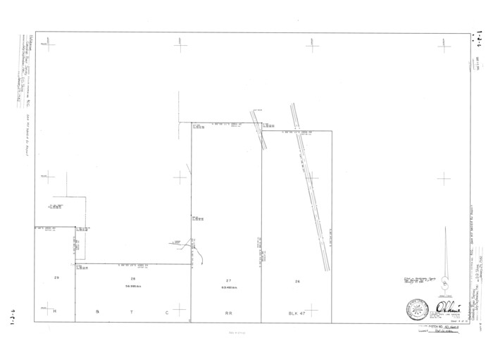

Print $20.00
- Digital $50.00
Hutchinson County Rolled Sketch 40
1981
Size 26.0 x 37.4 inches
Map/Doc 6300
![91037, [Sections 155-162, Toyah Creek Irrigation Company and surrounding surveys], Twichell Survey Records](https://historictexasmaps.com/wmedia_w1800h1800/maps/91037-1.tif.jpg)