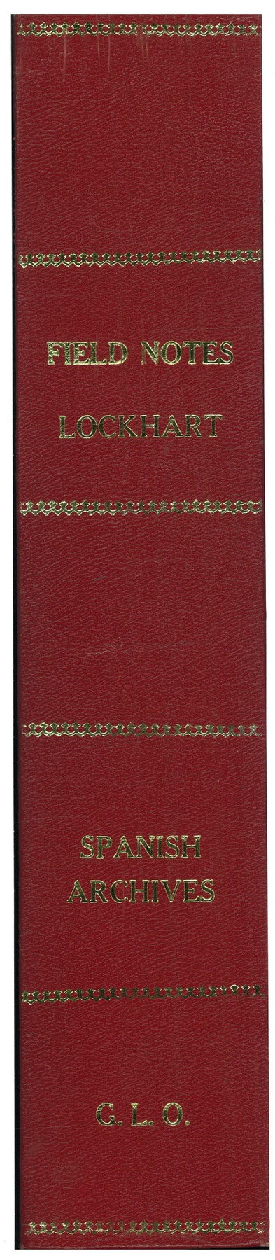
English Field Notes of the Spanish Archives - Book Lockhart
-
Map/Doc
96539
-
Collection
Historical Volumes
-
Object Dates
1832 (Creation Date)
-
People and Organizations
Byrd Lockhart (Surveyor/Engineer)
Charles Lockhart (Surveyor/Engineer)
-
Counties
Caldwell DeWitt Fayette Gonzales Guadalupe Hays Lavaca
-
Subjects
Bound Volume Colony Mexican Texas
-
Medium
paper, bound volume
-
Comments
Compilation of English field notes for surveys performed in DeWitt's Colony.
Related maps
English Field Notes of the Spanish Archives - Book 1

English Field Notes of the Spanish Archives - Book 1
1833
Map/Doc 96527
English Field Notes of the Spanish Archives - Book 2

English Field Notes of the Spanish Archives - Book 2
1835
Map/Doc 96528
English Field Notes of the Spanish Archives - Book 3

English Field Notes of the Spanish Archives - Book 3
1835
Map/Doc 96529
English Field Notes of the Spanish Archives - Book 4 & W

English Field Notes of the Spanish Archives - Book 4 & W
1836
Map/Doc 96530
English Field Notes of the Spanish Archives - Book 5

English Field Notes of the Spanish Archives - Book 5
1835
Map/Doc 96531
English Field Notes of the Spanish Archives - Book 6

English Field Notes of the Spanish Archives - Book 6
1836
Map/Doc 96532
English Field Notes of the Spanish Archives - Book 7

English Field Notes of the Spanish Archives - Book 7
1835
Map/Doc 96533
English Field Notes of the Spanish Archives - Book 8

English Field Notes of the Spanish Archives - Book 8
1835
Map/Doc 96534
English Field Notes of the Spanish Archives - Book 9

English Field Notes of the Spanish Archives - Book 9
1835
Map/Doc 96535
English Field Notes of the Spanish Archives - Book 10

English Field Notes of the Spanish Archives - Book 10
1835
Map/Doc 96536
English Field Notes of the Spanish Archives - Book 11

English Field Notes of the Spanish Archives - Book 11
1832
Map/Doc 96537
English Field Notes of the Spanish Archives - Book 12

English Field Notes of the Spanish Archives - Book 12
1832
Map/Doc 96538
English Field Notes of the Spanish Archives - Book Lockhart

English Field Notes of the Spanish Archives - Book Lockhart
1832
Map/Doc 96539
English Field Notes of the Spanish Archives - Book A-B

English Field Notes of the Spanish Archives - Book A-B
1835
Map/Doc 96540
English Field Notes of the Spanish Archives - Book C

English Field Notes of the Spanish Archives - Book C
1835
Map/Doc 96541
English Field Notes of the Spanish Archives - Book D

English Field Notes of the Spanish Archives - Book D
1835
Map/Doc 96542
English Field Notes of the Spanish Archives - Book S

English Field Notes of the Spanish Archives - Book S
1835
Map/Doc 96543
English Field Notes of the Spanish Archives - Book SAW

English Field Notes of the Spanish Archives - Book SAW
1834
Map/Doc 96544
English Field Notes of the Spanish Archives - Books GMP, FH, SCH, and JAV

English Field Notes of the Spanish Archives - Books GMP, FH, SCH, and JAV
1835
Map/Doc 96545
English Field Notes of the Spanish Archives - Books DBE, WBPS, GAN, WB3, and X

English Field Notes of the Spanish Archives - Books DBE, WBPS, GAN, WB3, and X
1835
Map/Doc 96546
Part of: Historical Volumes

Reports of Wm. H. Bourland and James B. Miller, Commissioners to Investigate Land Titles West of the Nueces

Reports of Wm. H. Bourland and James B. Miller, Commissioners to Investigate Land Titles West of the Nueces
1850
Size 17.2 x 12.9 inches
Map/Doc 94259
Index to Titles, Field Notes, and Plats in the Spanish Archives

Index to Titles, Field Notes, and Plats in the Spanish Archives
1942
Size 17.5 x 10.1 inches
Map/Doc 94524

Political Chief of Nacogdoches to Secretary of the State Government (PCNSS)

Political Chief of Nacogdoches to Secretary of the State Government (PCNSS)
Size 12.7 x 9.5 inches
Map/Doc 94265
English Field Notes of the Spanish Archives - Book 8
English Field Notes of the Spanish Archives - Book 8
1835
Map/Doc 96534
Record of Translations of Empresario Contracts (RTEC)

Record of Translations of Empresario Contracts (RTEC)
Size 17.0 x 13.6 inches
Map/Doc 94266
English Field Notes of the Spanish Archives - Book D
English Field Notes of the Spanish Archives - Book D
1835
Map/Doc 96542
Record of Spanish Titles, Vol. I

Record of Spanish Titles, Vol. I
1845
Size 19.2 x 13.9 inches
Map/Doc 94526
Record of Spanish Titles, Vol. II

Record of Spanish Titles, Vol. II
Size 19.2 x 12.8 inches
Map/Doc 94527
General Land Office Reference Book: Burnet's, Vehlein's, Zavala's, Robertson's Colonies in Texas

General Land Office Reference Book: Burnet's, Vehlein's, Zavala's, Robertson's Colonies in Texas
Map/Doc 94555
Acts of the Visit of the Royal Commissioners (sometimes referred to as the “Visita General”) - Camargo

Acts of the Visit of the Royal Commissioners (sometimes referred to as the “Visita General”) - Camargo
1767
Size 14.3 x 9.5 inches
Map/Doc 94254
You may also like
Glasscock County Working Sketch 8

Print $40.00
- Digital $50.00
Glasscock County Working Sketch 8
1955
Size 43.5 x 120.3 inches
Map/Doc 63181
Bee County Working Sketch 28

Print $20.00
- Digital $50.00
Bee County Working Sketch 28
1988
Size 48.2 x 34.6 inches
Map/Doc 67278
Kerr County Working Sketch 10

Print $20.00
- Digital $50.00
Kerr County Working Sketch 10
1951
Size 22.3 x 16.0 inches
Map/Doc 70041
Kendall County Boundary File 54

Print $16.00
- Digital $50.00
Kendall County Boundary File 54
Size 8.6 x 3.5 inches
Map/Doc 55769
Nueces County Rolled Sketch 11

Print $40.00
- Digital $50.00
Nueces County Rolled Sketch 11
Size 43.2 x 56.8 inches
Map/Doc 9586
McMullen County Working Sketch 33

Print $20.00
- Digital $50.00
McMullen County Working Sketch 33
1959
Size 37.3 x 27.0 inches
Map/Doc 70734
Refugio County Working Sketch Graphic Index

Print $20.00
- Digital $50.00
Refugio County Working Sketch Graphic Index
1921
Size 38.9 x 47.8 inches
Map/Doc 76683
La Salle County Boundary File 57a

Print $6.00
- Digital $50.00
La Salle County Boundary File 57a
Size 14.3 x 8.8 inches
Map/Doc 56255
Padre Island National Seashore, Texas - Dependent Resurvey

Print $4.00
- Digital $50.00
Padre Island National Seashore, Texas - Dependent Resurvey
2001
Size 18.3 x 24.4 inches
Map/Doc 60545
Dawson County Rolled Sketch 12

Print $20.00
- Digital $50.00
Dawson County Rolled Sketch 12
1965
Size 15.6 x 33.2 inches
Map/Doc 5695
Guadalupe County Sketch File 10

Print $4.00
- Digital $50.00
Guadalupe County Sketch File 10
1862
Size 8.7 x 14.5 inches
Map/Doc 24679
Mason County Rolled Sketch 2

Print $20.00
- Digital $50.00
Mason County Rolled Sketch 2
1952
Size 32.9 x 26.7 inches
Map/Doc 6675