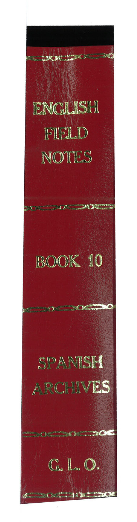
English Field Notes of the Spanish Archives - Book 10
-
Map/Doc
96536
-
Collection
Historical Volumes
-
Object Dates
1835 (Creation Date)
-
People and Organizations
Horatio Chriesman (Surveyor/Engineer)
-
Counties
Austin Brazos Burleson Calhoun Fayette Grimes Jackson Lavaca Washington
-
Subjects
Bound Volume Colony Mexican Texas
-
Medium
paper, bound volume
-
Comments
Compilation of English field notes for surveys performed in Austin's Colony.
Related maps
English Field Notes of the Spanish Archives - Book 1

English Field Notes of the Spanish Archives - Book 1
1833
Map/Doc 96527
English Field Notes of the Spanish Archives - Book 2

English Field Notes of the Spanish Archives - Book 2
1835
Map/Doc 96528
English Field Notes of the Spanish Archives - Book 3

English Field Notes of the Spanish Archives - Book 3
1835
Map/Doc 96529
English Field Notes of the Spanish Archives - Book 4 & W

English Field Notes of the Spanish Archives - Book 4 & W
1836
Map/Doc 96530
English Field Notes of the Spanish Archives - Book 5

English Field Notes of the Spanish Archives - Book 5
1835
Map/Doc 96531
English Field Notes of the Spanish Archives - Book 6

English Field Notes of the Spanish Archives - Book 6
1836
Map/Doc 96532
English Field Notes of the Spanish Archives - Book 7

English Field Notes of the Spanish Archives - Book 7
1835
Map/Doc 96533
English Field Notes of the Spanish Archives - Book 8

English Field Notes of the Spanish Archives - Book 8
1835
Map/Doc 96534
English Field Notes of the Spanish Archives - Book 9

English Field Notes of the Spanish Archives - Book 9
1835
Map/Doc 96535
English Field Notes of the Spanish Archives - Book 10

English Field Notes of the Spanish Archives - Book 10
1835
Map/Doc 96536
English Field Notes of the Spanish Archives - Book 11

English Field Notes of the Spanish Archives - Book 11
1832
Map/Doc 96537
English Field Notes of the Spanish Archives - Book 12

English Field Notes of the Spanish Archives - Book 12
1832
Map/Doc 96538
English Field Notes of the Spanish Archives - Book Lockhart

English Field Notes of the Spanish Archives - Book Lockhart
1832
Map/Doc 96539
English Field Notes of the Spanish Archives - Book A-B

English Field Notes of the Spanish Archives - Book A-B
1835
Map/Doc 96540
English Field Notes of the Spanish Archives - Book C

English Field Notes of the Spanish Archives - Book C
1835
Map/Doc 96541
English Field Notes of the Spanish Archives - Book D

English Field Notes of the Spanish Archives - Book D
1835
Map/Doc 96542
English Field Notes of the Spanish Archives - Book S

English Field Notes of the Spanish Archives - Book S
1835
Map/Doc 96543
English Field Notes of the Spanish Archives - Book SAW

English Field Notes of the Spanish Archives - Book SAW
1834
Map/Doc 96544
English Field Notes of the Spanish Archives - Books GMP, FH, SCH, and JAV

English Field Notes of the Spanish Archives - Books GMP, FH, SCH, and JAV
1835
Map/Doc 96545
English Field Notes of the Spanish Archives - Books DBE, WBPS, GAN, WB3, and X

English Field Notes of the Spanish Archives - Books DBE, WBPS, GAN, WB3, and X
1835
Map/Doc 96546
Part of: Historical Volumes

Transcribed English Field Notes from Austin's Colonies and Transcribed Spanish Titles from Robertson's Colony, 1825-1835

Transcribed English Field Notes from Austin's Colonies and Transcribed Spanish Titles from Robertson's Colony, 1825-1835
1825
Size 17.0 x 12.1 inches
Map/Doc 94532
Austin's Register of Families Vol. 2

Austin's Register of Families Vol. 2
Size 13.6 x 10.1 inches
Map/Doc 94250
Atlas T - Titles to Frontier Settlers issued by the Commissioner Carlos S. Taylor

Atlas T - Titles to Frontier Settlers issued by the Commissioner Carlos S. Taylor
1834
Map/Doc 94536
English Field Notes of the Spanish Archives - Book D
English Field Notes of the Spanish Archives - Book D
1835
Map/Doc 96542
Record of Spanish Titles, Vol. II

Record of Spanish Titles, Vol. II
Size 19.2 x 12.8 inches
Map/Doc 94527
Record of Translations of Empresario Contracts (RTEC)

Record of Translations of Empresario Contracts (RTEC)
Size 17.0 x 13.6 inches
Map/Doc 94266

Record of Spanish Titles, Vol. IV

Record of Spanish Titles, Vol. IV
Size 19.2 x 12.8 inches
Map/Doc 94529
Translation of Titles - Austin's First Colony, Vol. 2

Translation of Titles - Austin's First Colony, Vol. 2
1841
Map/Doc 94545
Translations of Titles issued under the Second Contract [500 Families] of Stephen F. Austin with the Government of Coahuila & Texas - Volume 1
![94546, Translations of Titles issued under the Second Contract [500 Families] of Stephen F. Austin with the Government of Coahuila & Texas - Volume 1, Historical Volumes](https://historictexasmaps.com/wmedia_w700/pdf_converted_jpg/qi_pdf_thumbnail_39135.jpg)
Translations of Titles issued under the Second Contract [500 Families] of Stephen F. Austin with the Government of Coahuila & Texas - Volume 1
1840
Map/Doc 94546
Index to Titles, Field Notes, and Plats in the Spanish Archives

Index to Titles, Field Notes, and Plats in the Spanish Archives
1942
Size 17.5 x 10.1 inches
Map/Doc 94524
You may also like
Presidio County Rolled Sketch 102

Print $20.00
- Digital $50.00
Presidio County Rolled Sketch 102
1957
Size 19.3 x 13.8 inches
Map/Doc 7385
Map of The Surveyed Part of Peters Colony Texas

Print $40.00
- Digital $50.00
Map of The Surveyed Part of Peters Colony Texas
1852
Size 54.6 x 34.6 inches
Map/Doc 4654
Falls of St. Anthony

Print $2.00
- Digital $50.00
Falls of St. Anthony
1810
Size 6.2 x 8.8 inches
Map/Doc 95152
[Map of Santa Fe Route - Atchison, Topeka, and Santa Fe Railroad]
![95866, [Map of Santa Fe Route - Atchison, Topeka, and Santa Fe Railroad], Cobb Digital Map Collection - 1](https://historictexasmaps.com/wmedia_w700/maps/95866.tif.jpg)
Print $40.00
- Digital $50.00
[Map of Santa Fe Route - Atchison, Topeka, and Santa Fe Railroad]
1893
Size 17.4 x 50.0 inches
Map/Doc 95866
City of Corpus Christi, Texas

Print $20.00
- Digital $50.00
City of Corpus Christi, Texas
1969
Size 22.6 x 51.0 inches
Map/Doc 96520
Collingsworth County Sketch File 1

Print $20.00
- Digital $50.00
Collingsworth County Sketch File 1
1888
Size 23.8 x 28.9 inches
Map/Doc 11128
Flight Mission No. DAG-23K, Frame 13, Matagorda County

Print $20.00
- Digital $50.00
Flight Mission No. DAG-23K, Frame 13, Matagorda County
1953
Size 18.5 x 22.2 inches
Map/Doc 86475
Aransas County Sketch File 26

Print $28.00
- Digital $50.00
Aransas County Sketch File 26
1896
Size 5.2 x 4.7 inches
Map/Doc 13219
Schleicher County Sketch File 8

Print $32.00
- Digital $50.00
Schleicher County Sketch File 8
1881
Size 12.5 x 8.2 inches
Map/Doc 36479
Freestone County State of Texas

Print $20.00
- Digital $50.00
Freestone County State of Texas
1888
Size 27.2 x 21.6 inches
Map/Doc 3562
Zapata County Working Sketch Graphic Index, Sheet 2 (Sketches 19 to Most Recent)

Print $40.00
- Digital $50.00
Zapata County Working Sketch Graphic Index, Sheet 2 (Sketches 19 to Most Recent)
1935
Size 55.6 x 41.5 inches
Map/Doc 76750
Newton County Working Sketch 14

Print $20.00
- Digital $50.00
Newton County Working Sketch 14
1947
Size 22.3 x 21.9 inches
Map/Doc 71260