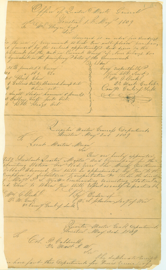
Atlas T - Titles to Frontier Settlers issued by the Commissioner Carlos S. Taylor
-
Map/Doc
94536
-
Collection
Historical Volumes
-
Object Dates
1834 (Creation Date)
-
People and Organizations
William Brookfield (Surveyor/Engineer)
John A. Veitch (Surveyor/Engineer)
William S. McDonald (Surveyor/Engineer)
-
Counties
Jasper Chambers Newton Harris Angelina Madison Walker Montgomery Orange Jefferson Polk San Jacinto Tyler Liberty Hardin Trinity Houston
-
Subjects
Bound Volume Colony Mexican Texas
-
Medium
paper, bound volume
-
Comments
Plat book of surveys for titles issued by Charles S. Taylor, who was commissioned in March 1834 to give possession of lands to settlers on the frontier of Nacogdoches who had not perfected their titles. The surveys are located in the present-day counties of: Jefferson, Houston, Trinity, Hardin, Liberty, Tyler, San Jacinto, Polk, Jasper, Orange, Montgomery, Walker, Madison, Angelina, Harris, Newton, and Chambers.
Part of: Historical Volumes
Austin's Register of Families Vol. 1


Austin's Register of Families Vol. 1
Size 14.0 x 10.2 inches
Map/Doc 94249
Political Chief of Nacogdoches to Secretary of the State Government (PCNSS)


Political Chief of Nacogdoches to Secretary of the State Government (PCNSS)
Size 12.7 x 9.5 inches
Map/Doc 94265
Correspondence between the Political Chief of Nacogdoches and the Ayuntamiento (CPCNA)
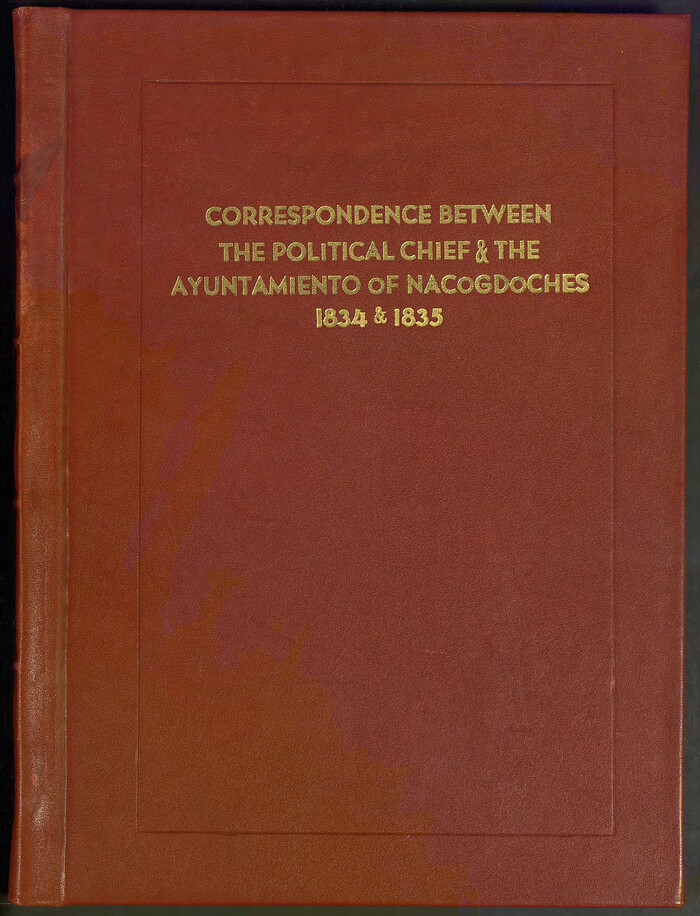

Correspondence between the Political Chief of Nacogdoches and the Ayuntamiento (CPCNA)
Size 12.7 x 9.7 inches
Map/Doc 94263
English Field Notes of the Spanish Archives - Books SAS, DB4, GWS, JWB, and JWB3


English Field Notes of the Spanish Archives - Books SAS, DB4, GWS, JWB, and JWB3
1835
Map/Doc 96551
Record of Spanish Titles, Vol. V


Record of Spanish Titles, Vol. V
1845
Size 16.4 x 12.3 inches
Map/Doc 94530
Index to Titles, Field Notes, and Plats in the Spanish Archives


Index to Titles, Field Notes, and Plats in the Spanish Archives
1942
Size 17.5 x 10.1 inches
Map/Doc 94524
English Field Notes of the Spanish Archives - Book 8


English Field Notes of the Spanish Archives - Book 8
1835
Map/Doc 96534
English Field Notes of the Spanish Archives - Book 4 & W


English Field Notes of the Spanish Archives - Book 4 & W
1836
Map/Doc 96530
General Land Office Reference Book: Burnet's, Vehlein's, Zavala's, Robertson's Colonies in Texas


General Land Office Reference Book: Burnet's, Vehlein's, Zavala's, Robertson's Colonies in Texas
Map/Doc 94555
Record of Spanish Titles, Vol. I


Record of Spanish Titles, Vol. I
1845
Size 19.2 x 13.9 inches
Map/Doc 94526
You may also like
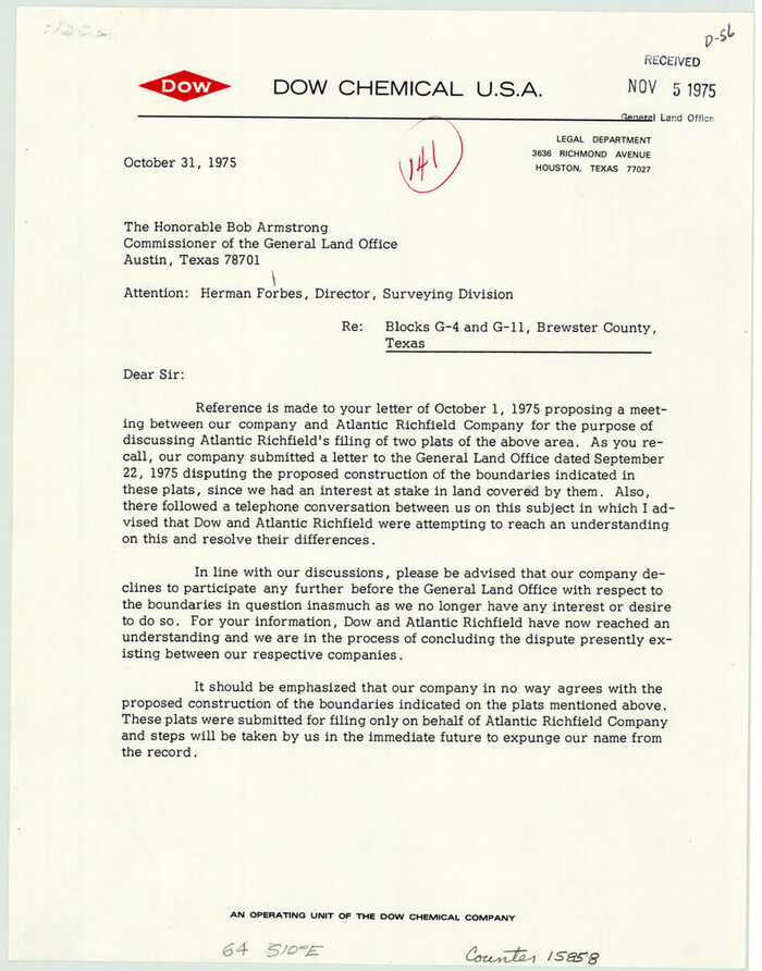
Brewster County Sketch File FN-33

Print $6.00
- Digital $50.00
Brewster County Sketch File FN-33
1975
Size 11.1 x 8.7 inches
Map/Doc 15858
Sketch for Blocks D6, D7, D8 situated in Val Verde County, Texas


Print $40.00
- Digital $50.00
Sketch for Blocks D6, D7, D8 situated in Val Verde County, Texas
1937
Size 100.1 x 40.1 inches
Map/Doc 93164
Van Zandt County Boundary File 90

Print $10.00
- Digital $50.00
Van Zandt County Boundary File 90
Size 9.5 x 4.0 inches
Map/Doc 59650
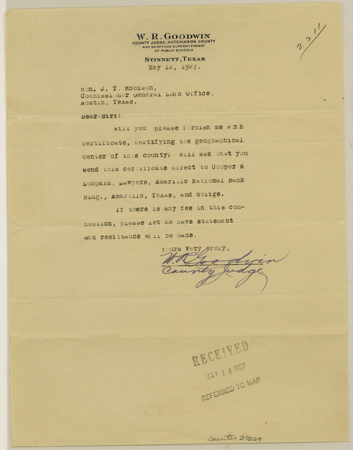
Hutchinson County Sketch File 30

Print $6.00
- Digital $50.00
Hutchinson County Sketch File 30
1927
Size 11.2 x 8.8 inches
Map/Doc 27264
El Paso County


Print $40.00
- Digital $50.00
El Paso County
1881
Size 51.5 x 15.7 inches
Map/Doc 89057
[Surveys in the Travis District along the Colorado River]
![118, [Surveys in the Travis District along the Colorado River], General Map Collection](https://historictexasmaps.com/wmedia_w700/maps/118.tif.jpg)
![118, [Surveys in the Travis District along the Colorado River], General Map Collection](https://historictexasmaps.com/wmedia_w700/maps/118.tif.jpg)
Print $2.00
- Digital $50.00
[Surveys in the Travis District along the Colorado River]
1841
Size 8.6 x 15.3 inches
Map/Doc 118
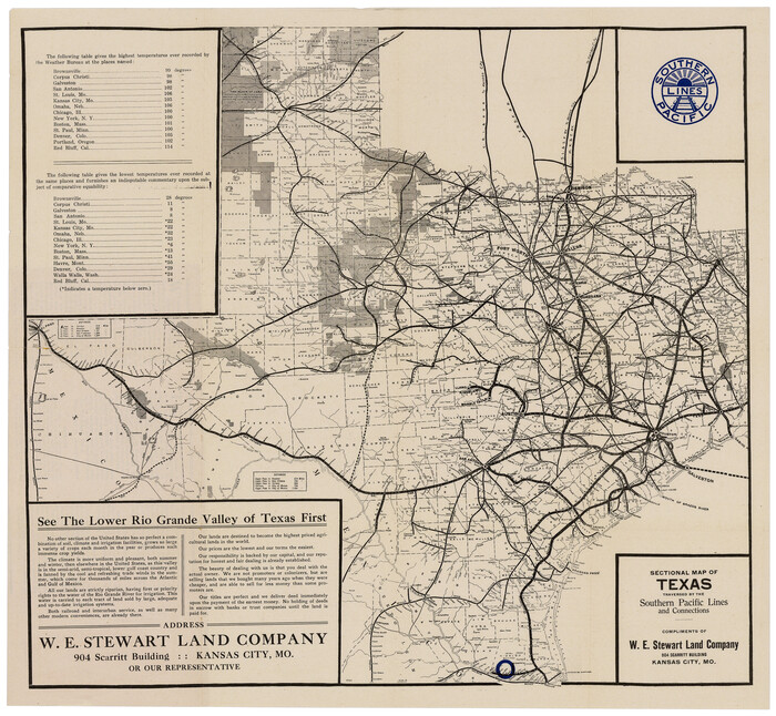
Sectional Map of Texas traversed by the Southern Pacific Lines and connections

Print $20.00
- Digital $50.00
Sectional Map of Texas traversed by the Southern Pacific Lines and connections
1916
Size 20.6 x 22.3 inches
Map/Doc 95800
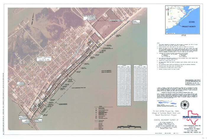
Brazoria County NRC Article 33.136 Sketch 25

Print $134.00
Brazoria County NRC Article 33.136 Sketch 25
2025
Map/Doc 97440
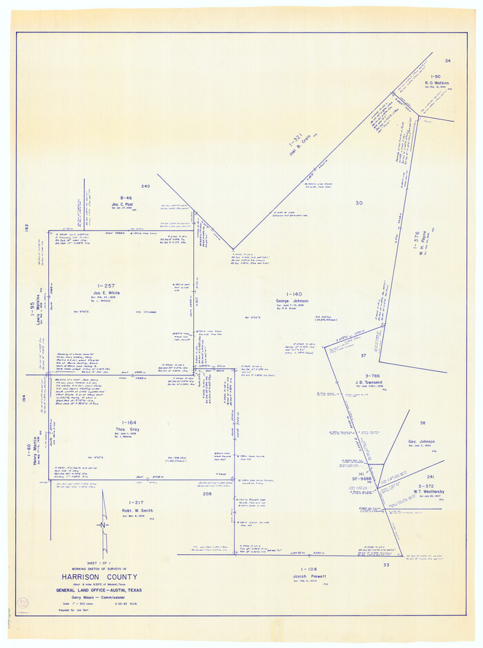
Harrison County Working Sketch 23

Print $20.00
- Digital $50.00
Harrison County Working Sketch 23
1983
Size 43.2 x 32.2 inches
Map/Doc 66043
Galveston County Rolled Sketch 32
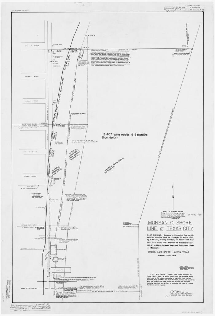

Print $20.00
- Digital $50.00
Galveston County Rolled Sketch 32
1979
Size 44.3 x 31.0 inches
Map/Doc 9015
Gaines County Working Sketch 36
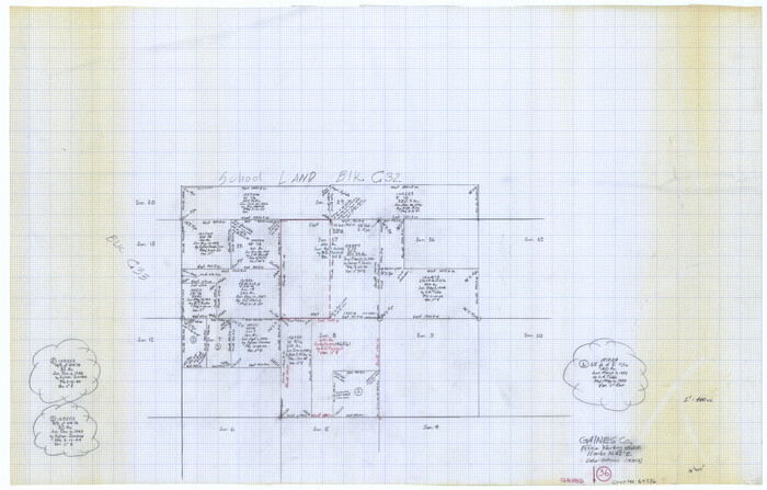

Print $20.00
- Digital $50.00
Gaines County Working Sketch 36
Size 23.5 x 36.7 inches
Map/Doc 69336
Nueces County Sketch File 35
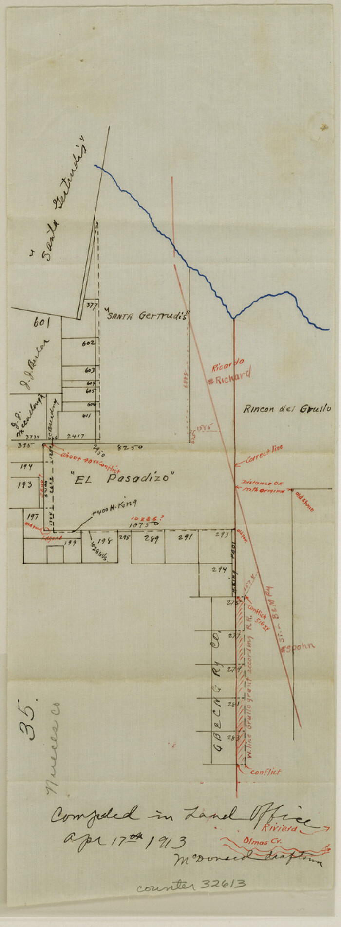

Print $2.00
- Digital $50.00
Nueces County Sketch File 35
1913
Size 13.1 x 4.8 inches
Map/Doc 32613


