English Field Notes of the Spanish Archives - Book 6
-
Map/Doc
96532
-
Collection
Historical Volumes
-
Object Dates
1836 (Creation Date)
-
People and Organizations
Seth Ingram (Surveyor/Engineer)
Elias R. Wightman (Surveyor/Engineer)
Thomas J. Tone (Surveyor/Engineer)
Levi Taylor (Surveyor/Engineer)
-
Counties
Grimes Harris Jackson Matagorda Montgomery Walker Wharton
-
Subjects
Bound Volume Colony Mexican Texas
-
Medium
paper, bound volume
-
Comments
Compilation of English field notes for surveys performed in Austin's Colony.
Related maps
English Field Notes of the Spanish Archives - Book 1


English Field Notes of the Spanish Archives - Book 1
1833
Map/Doc 96527
English Field Notes of the Spanish Archives - Book 2


English Field Notes of the Spanish Archives - Book 2
1835
Map/Doc 96528
English Field Notes of the Spanish Archives - Book 3


English Field Notes of the Spanish Archives - Book 3
1835
Map/Doc 96529
English Field Notes of the Spanish Archives - Book 4 & W


English Field Notes of the Spanish Archives - Book 4 & W
1836
Map/Doc 96530
English Field Notes of the Spanish Archives - Book 5


English Field Notes of the Spanish Archives - Book 5
1835
Map/Doc 96531
English Field Notes of the Spanish Archives - Book 6


English Field Notes of the Spanish Archives - Book 6
1836
Map/Doc 96532
English Field Notes of the Spanish Archives - Book 7


English Field Notes of the Spanish Archives - Book 7
1835
Map/Doc 96533
English Field Notes of the Spanish Archives - Book 8


English Field Notes of the Spanish Archives - Book 8
1835
Map/Doc 96534
English Field Notes of the Spanish Archives - Book 9


English Field Notes of the Spanish Archives - Book 9
1835
Map/Doc 96535
English Field Notes of the Spanish Archives - Book 10


English Field Notes of the Spanish Archives - Book 10
1835
Map/Doc 96536
English Field Notes of the Spanish Archives - Book 11


English Field Notes of the Spanish Archives - Book 11
1832
Map/Doc 96537
English Field Notes of the Spanish Archives - Book 12


English Field Notes of the Spanish Archives - Book 12
1832
Map/Doc 96538
English Field Notes of the Spanish Archives - Book Lockhart


English Field Notes of the Spanish Archives - Book Lockhart
1832
Map/Doc 96539
English Field Notes of the Spanish Archives - Book A-B


English Field Notes of the Spanish Archives - Book A-B
1835
Map/Doc 96540
English Field Notes of the Spanish Archives - Book C


English Field Notes of the Spanish Archives - Book C
1835
Map/Doc 96541
English Field Notes of the Spanish Archives - Book D


English Field Notes of the Spanish Archives - Book D
1835
Map/Doc 96542
English Field Notes of the Spanish Archives - Book S


English Field Notes of the Spanish Archives - Book S
1835
Map/Doc 96543
English Field Notes of the Spanish Archives - Book SAW


English Field Notes of the Spanish Archives - Book SAW
1834
Map/Doc 96544
English Field Notes of the Spanish Archives - Books GMP, FH, SCH, and JAV


English Field Notes of the Spanish Archives - Books GMP, FH, SCH, and JAV
1835
Map/Doc 96545
English Field Notes of the Spanish Archives - Books DBE, WBPS, GAN, WB3, and X


English Field Notes of the Spanish Archives - Books DBE, WBPS, GAN, WB3, and X
1835
Map/Doc 96546
Part of: Historical Volumes
Atlas T - Titles to Frontier Settlers issued by the Commissioner Carlos S. Taylor


Atlas T - Titles to Frontier Settlers issued by the Commissioner Carlos S. Taylor
1834
Map/Doc 94536
English Field Notes of the Spanish Archives - Books GMP, FH, SCH, and JAV


English Field Notes of the Spanish Archives - Books GMP, FH, SCH, and JAV
1835
Map/Doc 96545
Acts of the Visit of the Royal Commissioners (sometimes referred to as the “Visita General”) - Mier


Acts of the Visit of the Royal Commissioners (sometimes referred to as the “Visita General”) - Mier
1767
Size 14.0 x 9.2 inches
Map/Doc 94257
Translations of Titles issued under the Second Contract [500 Families] of Stephen F. Austin with the Government of Coahuila & Texas - Volume 1
![94546, Translations of Titles issued under the Second Contract [500 Families] of Stephen F. Austin with the Government of Coahuila & Texas - Volume 1, Historical Volumes](https://historictexasmaps.com/wmedia_w700/pdf_converted_jpg/qi_pdf_thumbnail_39135.jpg)
![94546, Translations of Titles issued under the Second Contract [500 Families] of Stephen F. Austin with the Government of Coahuila & Texas - Volume 1, Historical Volumes](https://historictexasmaps.com/wmedia_w700/pdf_converted_jpg/qi_pdf_thumbnail_39135.jpg)
Translations of Titles issued under the Second Contract [500 Families] of Stephen F. Austin with the Government of Coahuila & Texas - Volume 1
1840
Map/Doc 94546
English Field Notes of the Spanish Archives - Book C


English Field Notes of the Spanish Archives - Book C
1835
Map/Doc 96541
Translations & Index to Field Notes of Spanish Titles, Vol. 2 (Jackson - Wood Counties)


Translations & Index to Field Notes of Spanish Titles, Vol. 2 (Jackson - Wood Counties)
Map/Doc 94552
Transcribed English Field Notes from Austin's Colonies and Transcribed Spanish Titles from Robertson's Colony, 1825-1835


Transcribed English Field Notes from Austin's Colonies and Transcribed Spanish Titles from Robertson's Colony, 1825-1835
1825
Size 17.0 x 12.1 inches
Map/Doc 94532
Record of Spanish Titles, Vol. V


Record of Spanish Titles, Vol. V
1845
Size 16.4 x 12.3 inches
Map/Doc 94530
English Field Notes of the Spanish Archives - Book 3


English Field Notes of the Spanish Archives - Book 3
1835
Map/Doc 96529
You may also like
Flight Mission No. BRA-16M, Frame 178, Jefferson County
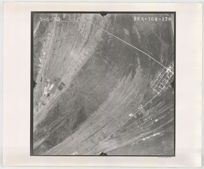

Print $20.00
- Digital $50.00
Flight Mission No. BRA-16M, Frame 178, Jefferson County
1953
Size 18.6 x 22.4 inches
Map/Doc 85776
Irion County Working Sketch 16


Print $20.00
- Digital $50.00
Irion County Working Sketch 16
1973
Size 37.8 x 36.7 inches
Map/Doc 66425
Hunt County Sketch File 30


Print $6.00
- Digital $50.00
Hunt County Sketch File 30
1862
Size 8.1 x 7.5 inches
Map/Doc 27132
Flight Mission No. DQO-1K, Frame 39, Galveston County


Print $20.00
- Digital $50.00
Flight Mission No. DQO-1K, Frame 39, Galveston County
1952
Size 18.8 x 22.6 inches
Map/Doc 84982
Map of the country in the vicinity of San Antonio de Bexar reduced in part from the county map of Bexar with additions by J. Edmd. Blake, 1st Lieut Topl. Engs.
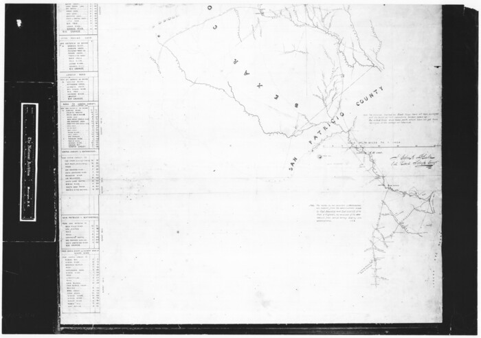

Print $20.00
- Digital $50.00
Map of the country in the vicinity of San Antonio de Bexar reduced in part from the county map of Bexar with additions by J. Edmd. Blake, 1st Lieut Topl. Engs.
1845
Size 18.3 x 26.1 inches
Map/Doc 72721
United States - Gulf Coast - Galveston to Rio Grande


Print $20.00
- Digital $50.00
United States - Gulf Coast - Galveston to Rio Grande
1940
Size 27.4 x 18.3 inches
Map/Doc 72757
Brazoria County Sketch File 28a
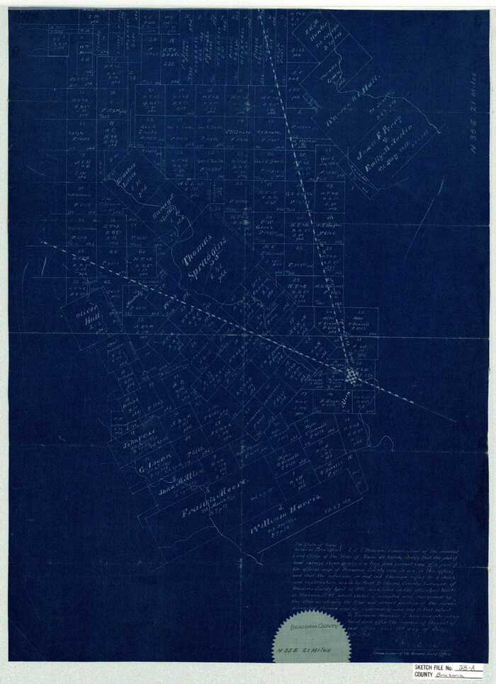

Print $40.00
- Digital $50.00
Brazoria County Sketch File 28a
1913
Size 21.0 x 15.2 inches
Map/Doc 10954
Briscoe County Sketch File C


Print $40.00
- Digital $50.00
Briscoe County Sketch File C
1900
Size 20.4 x 35.6 inches
Map/Doc 11000
Pecos County Rolled Sketch 113
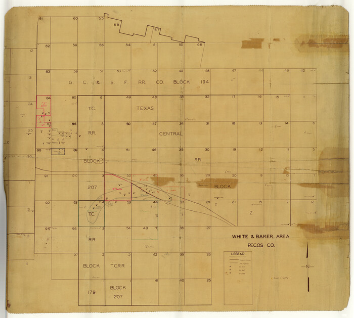

Print $20.00
- Digital $50.00
Pecos County Rolled Sketch 113
1942
Size 31.9 x 35.4 inches
Map/Doc 9721
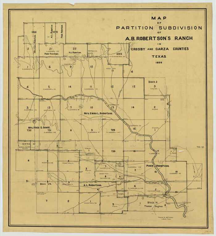
Map of Partition Subdivision of A.B. Robertson's Ranch in Crosby and Garza Counties, Texas 1926

Print $20.00
- Digital $50.00
Map of Partition Subdivision of A.B. Robertson's Ranch in Crosby and Garza Counties, Texas 1926
1926
Size 39.1 x 42.7 inches
Map/Doc 89755
Red River County Sketch File 7

Print $6.00
- Digital $50.00
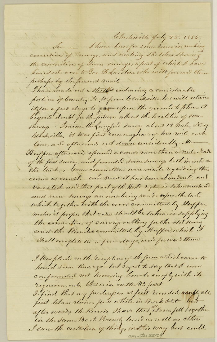
Red River County Sketch File 7
1855
Size 12.7 x 8.0 inches
Map/Doc 35109
Bee County Boundary File 4


Print $22.00
- Digital $50.00
Bee County Boundary File 4
Size 12.9 x 8.1 inches
Map/Doc 50441


