Index to Titles, 1832-1835
-
Map/Doc
94556
-
Collection
Historical Volumes
-
Object Dates
1832-1835 (Creation Date)
-
Subjects
Bound Volume Colony Mexican Texas
-
Height x Width
17.3 x 18.4 inches
43.9 x 46.7 cm
-
Medium
paper, bound volume
-
Comments
Ledger of grantees, location, quantity of land granted and date of Title, organized by colony.
Part of: Historical Volumes
Reference Book of Burnet's, [Vehlein's] & Zavala's Colonies
![94554, Reference Book of Burnet's, [Vehlein's] & Zavala's Colonies, Historical Volumes](https://historictexasmaps.com/wmedia_w700/pdf_converted_jpg/qi_pdf_thumbnail_39143.jpg)
![94554, Reference Book of Burnet's, [Vehlein's] & Zavala's Colonies, Historical Volumes](https://historictexasmaps.com/wmedia_w700/pdf_converted_jpg/qi_pdf_thumbnail_39143.jpg)
Reference Book of Burnet's, [Vehlein's] & Zavala's Colonies
Map/Doc 94554
Index to Titles, Field Notes, Plats: Spanish Archives


Index to Titles, Field Notes, Plats: Spanish Archives
1880
Map/Doc 94534
English Field Notes of the Spanish Archives - Books J.S.2, 3, and 4
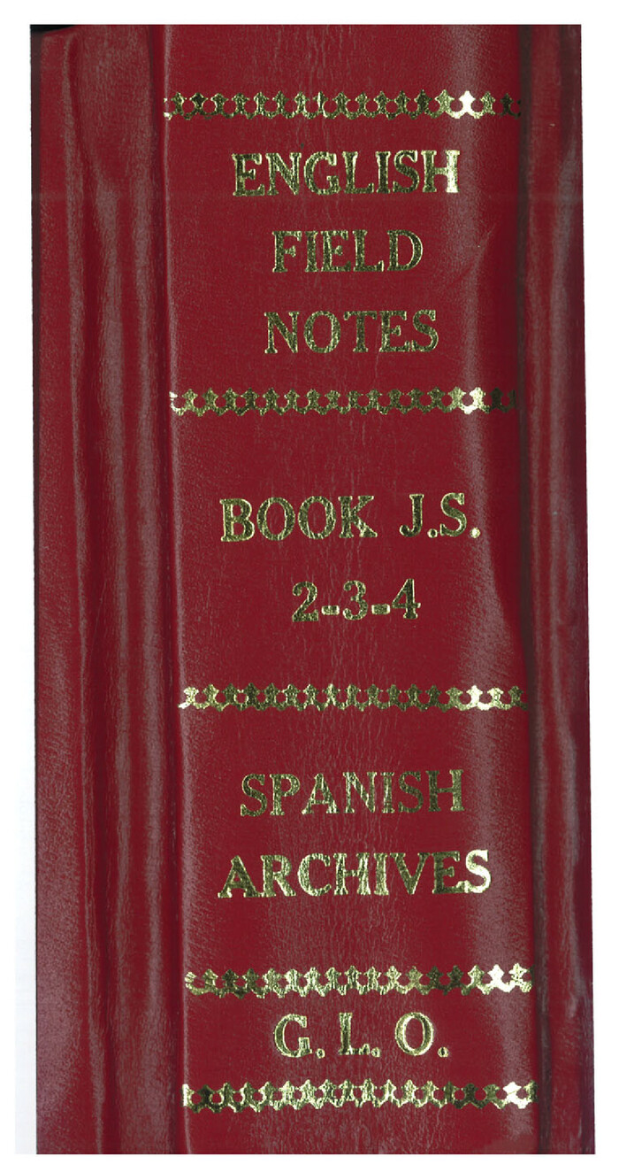

English Field Notes of the Spanish Archives - Books J.S.2, 3, and 4
1835
Map/Doc 96550
Political Chief of Nacogdoches to Secretary of the State Government (PCNSS)


Political Chief of Nacogdoches to Secretary of the State Government (PCNSS)
Size 12.7 x 9.5 inches
Map/Doc 94265
Atlas T - Titles to Frontier Settlers issued by the Commissioner Carlos S. Taylor


Atlas T - Titles to Frontier Settlers issued by the Commissioner Carlos S. Taylor
1834
Map/Doc 94536
Index to Titles, Field Notes, and Plats in the Spanish Archives


Index to Titles, Field Notes, and Plats in the Spanish Archives
1942
Size 17.5 x 10.1 inches
Map/Doc 94524
Record of Translations of Empresario Contracts (RTEC)
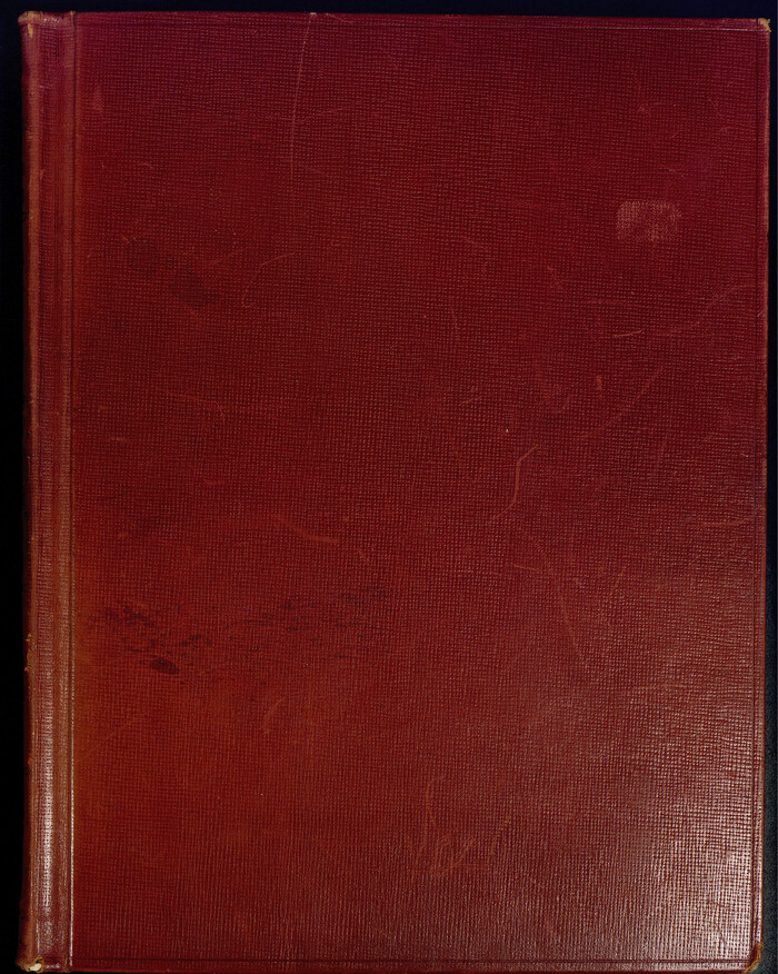

Record of Translations of Empresario Contracts (RTEC)
Size 17.0 x 13.6 inches
Map/Doc 94266
English Field Notes of the Spanish Archives - Book 4 & W


English Field Notes of the Spanish Archives - Book 4 & W
1836
Map/Doc 96530
English Field Notes of the Spanish Archives - Book 10


English Field Notes of the Spanish Archives - Book 10
1835
Map/Doc 96536
English Field Notes of the Spanish Archives - Book 8


English Field Notes of the Spanish Archives - Book 8
1835
Map/Doc 96534
Acts of the Visit of the Royal Commissioners (sometimes referred to as the “Visita General”) - Mier


Acts of the Visit of the Royal Commissioners (sometimes referred to as the “Visita General”) - Mier
1767
Size 14.0 x 9.2 inches
Map/Doc 94257
You may also like
Angelina County Sketch File 21b


Print $6.00
- Digital $50.00
Angelina County Sketch File 21b
1889
Size 13.9 x 8.5 inches
Map/Doc 13044
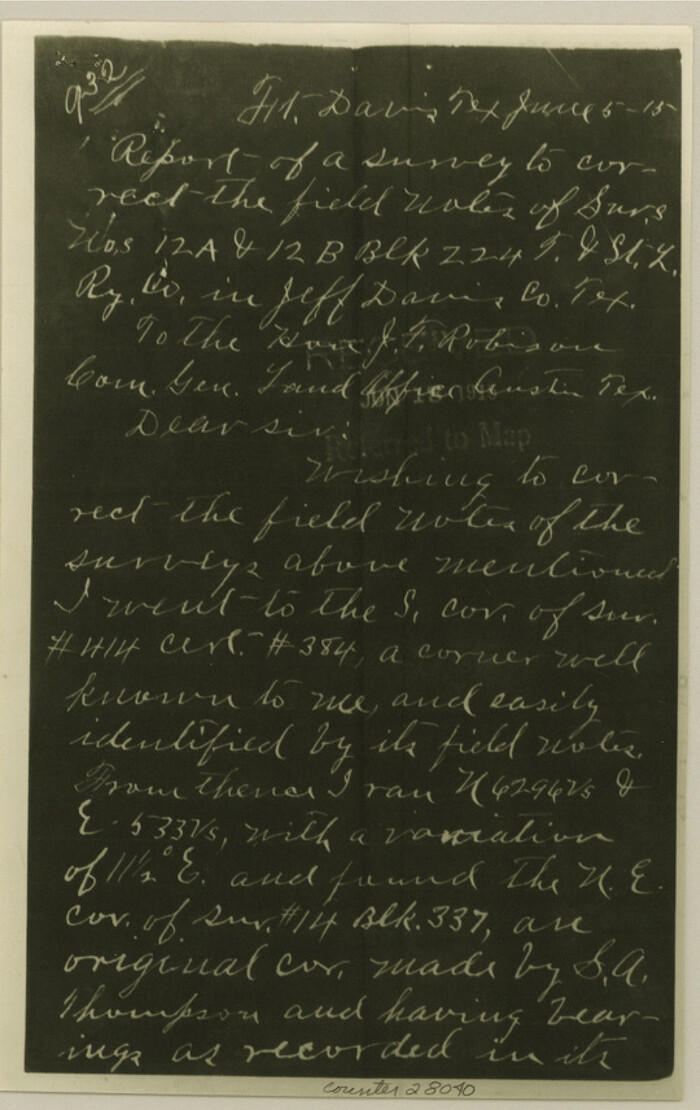
Jeff Davis County Sketch File 34

Print $16.00
- Digital $50.00
Jeff Davis County Sketch File 34
1915
Size 8.5 x 5.4 inches
Map/Doc 28040
Martin County Working Sketch 7


Print $20.00
- Digital $50.00
Martin County Working Sketch 7
1971
Size 43.0 x 31.3 inches
Map/Doc 70825
The Republic County of Colorado. January 29, 1842


Print $20.00
The Republic County of Colorado. January 29, 1842
2020
Size 18.4 x 21.7 inches
Map/Doc 96125
Callahan County Sketch File 10a


Print $20.00
- Digital $50.00
Callahan County Sketch File 10a
1885
Size 14.3 x 8.8 inches
Map/Doc 35873
[Surveys in the Bexar District along Borrego Creek prepared by the Deputy Surveyor]
![96, [Surveys in the Bexar District along Borrego Creek prepared by the Deputy Surveyor], General Map Collection](https://historictexasmaps.com/wmedia_w700/maps/96.tif.jpg)
![96, [Surveys in the Bexar District along Borrego Creek prepared by the Deputy Surveyor], General Map Collection](https://historictexasmaps.com/wmedia_w700/maps/96.tif.jpg)
Print $2.00
- Digital $50.00
[Surveys in the Bexar District along Borrego Creek prepared by the Deputy Surveyor]
1847
Size 7.7 x 7.2 inches
Map/Doc 96
Floyd County Rolled Sketch 5


Print $20.00
- Digital $50.00
Floyd County Rolled Sketch 5
1892
Size 27.2 x 18.7 inches
Map/Doc 5880
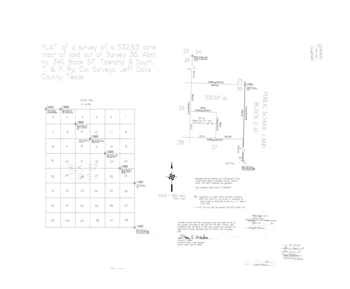
Jeff Davis County Rolled Sketch 37

Print $20.00
- Digital $50.00
Jeff Davis County Rolled Sketch 37
1992
Size 29.3 x 35.5 inches
Map/Doc 6380
Current Miscellaneous File 98


Print $40.00
- Digital $50.00
Current Miscellaneous File 98
Size 18.4 x 26.3 inches
Map/Doc 74338
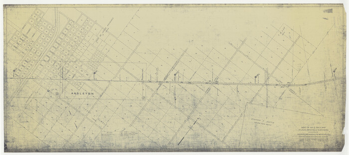
Right of Way & Track Map, St. Louis, Brownsville & Mexico Ry. operated by St. Louis, Brownsville & Mexico Ry. Co.

Print $40.00
- Digital $50.00
Right of Way & Track Map, St. Louis, Brownsville & Mexico Ry. operated by St. Louis, Brownsville & Mexico Ry. Co.
1919
Size 25.4 x 57.2 inches
Map/Doc 64621
Intracoastal Waterway in Texas - Corpus Christi to Point Isabel including Arroyo Colorado to Mo. Pac. R.R. Bridge Near Harlingen


Print $20.00
- Digital $50.00
Intracoastal Waterway in Texas - Corpus Christi to Point Isabel including Arroyo Colorado to Mo. Pac. R.R. Bridge Near Harlingen
1933
Size 28.2 x 41.3 inches
Map/Doc 61873


