Translations & Index to Field Notes of Spanish Titles, Vol. 2 (Jackson - Wood Counties)
-
Map/Doc
94552
-
Collection
Historical Volumes
-
Subjects
Bound Volume Colony Mexican Texas
-
Medium
paper, bound volume
-
Comments
Ledger of grantees, date of title, and field notes, organized by county.
Related maps
Translations & Index to Field Notes of Spanish Titles, Vol. 1


Translations & Index to Field Notes of Spanish Titles, Vol. 1
1940
Map/Doc 94551
Part of: Historical Volumes
Record of Spanish Titles, Vol. III


Record of Spanish Titles, Vol. III
1845
Size 18.2 x 11.9 inches
Map/Doc 94528
Acts of the Visit of the Royal Commissioners (sometimes referred to as the “Visita General”) - Mier


Acts of the Visit of the Royal Commissioners (sometimes referred to as the “Visita General”) - Mier
1767
Size 14.0 x 9.2 inches
Map/Doc 94257
English Field Notes of the Spanish Archives - Book C


English Field Notes of the Spanish Archives - Book C
1835
Map/Doc 96541
Austin's Register of Families Vol. 1


Austin's Register of Families Vol. 1
Size 14.0 x 10.2 inches
Map/Doc 94249
English Field Notes of the Spanish Archives - Book 2


English Field Notes of the Spanish Archives - Book 2
1835
Map/Doc 96528
English Field Notes of the Spanish Archives - Book 8


English Field Notes of the Spanish Archives - Book 8
1835
Map/Doc 96534
Record of Spanish Titles, Vol. II


Record of Spanish Titles, Vol. II
Size 19.2 x 12.8 inches
Map/Doc 94527
Record of Spanish Titles, Vol. V


Record of Spanish Titles, Vol. V
1845
Size 16.4 x 12.3 inches
Map/Doc 94530
Wavel's [Wavell's] Register of Families
![94252, Wavel's [Wavell's] Register of Families, Historical Volumes](https://historictexasmaps.com/wmedia_w700/pdf_converted_jpg/qi_pdf_thumbnail_38893.jpg)
![94252, Wavel's [Wavell's] Register of Families, Historical Volumes](https://historictexasmaps.com/wmedia_w700/pdf_converted_jpg/qi_pdf_thumbnail_38893.jpg)
Wavel's [Wavell's] Register of Families
Size 13.2 x 9.2 inches
Map/Doc 94252
Acts of the Visit of the Royal Commissioners (sometimes referred to as the “Visita General”) - Camargo


Acts of the Visit of the Royal Commissioners (sometimes referred to as the “Visita General”) - Camargo
1767
Size 14.3 x 9.5 inches
Map/Doc 94254
You may also like
Real County Sketch File 18


Print $28.00
- Digital $50.00
Real County Sketch File 18
1964
Size 14.3 x 8.9 inches
Map/Doc 35076
Upshur County Sketch File 9
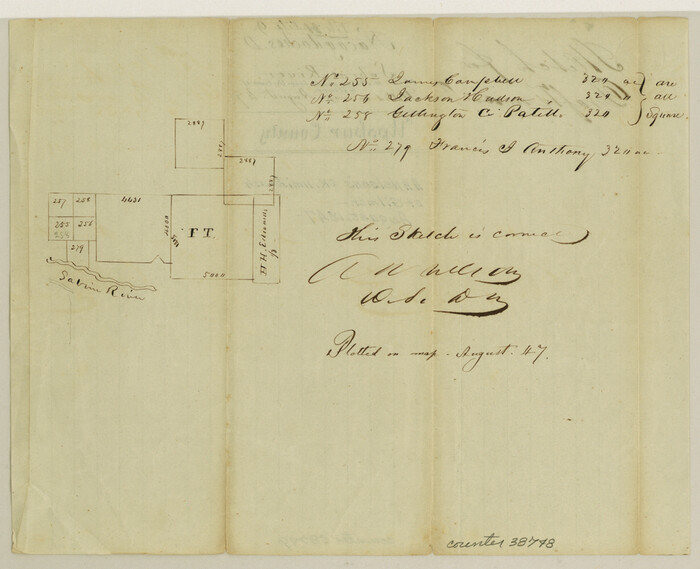

Print $4.00
- Digital $50.00
Upshur County Sketch File 9
1847
Size 8.4 x 10.3 inches
Map/Doc 38748
Jeff Davis County Working Sketch Graphic Index - west part
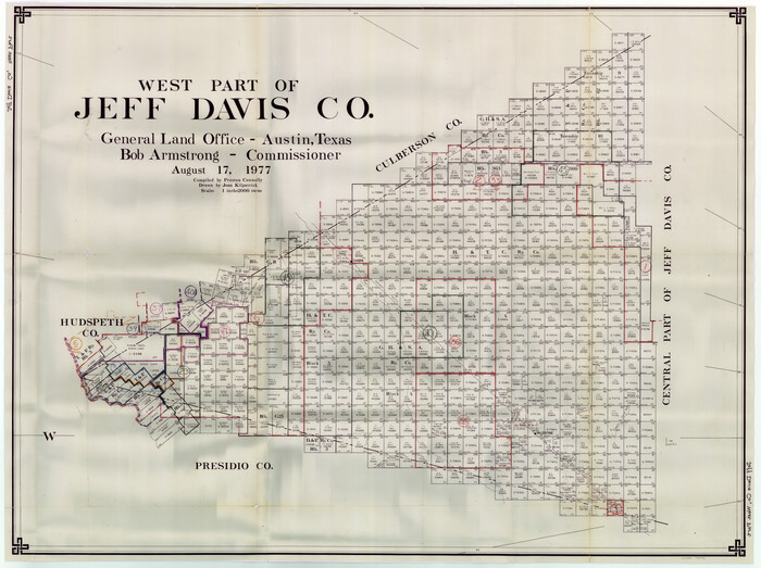

Print $20.00
- Digital $50.00
Jeff Davis County Working Sketch Graphic Index - west part
1977
Size 34.0 x 45.3 inches
Map/Doc 76594
Plat in Pecos County, Texas
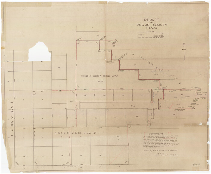

Print $20.00
- Digital $50.00
Plat in Pecos County, Texas
1928
Size 42.6 x 35.3 inches
Map/Doc 89831
Vias de Comunicacion y Movimiento Maritimo


Print $20.00
- Digital $50.00
Vias de Comunicacion y Movimiento Maritimo
Size 26.1 x 34.2 inches
Map/Doc 96800
Assortment of drafting pens, ruling pens, and other surveying related instruments
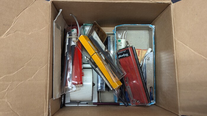

Assortment of drafting pens, ruling pens, and other surveying related instruments
Map/Doc 97317
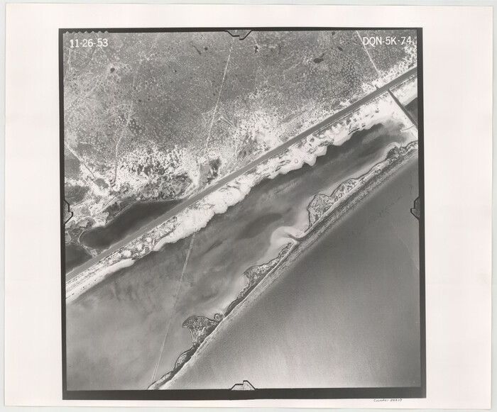
Flight Mission No. DQN-5K, Frame 74, Calhoun County

Print $20.00
- Digital $50.00
Flight Mission No. DQN-5K, Frame 74, Calhoun County
1953
Size 18.5 x 22.2 inches
Map/Doc 84407
Map of Hall County


Print $20.00
- Digital $50.00
Map of Hall County
1900
Size 41.2 x 41.3 inches
Map/Doc 16842
McCulloch County Rolled Sketch 7


Print $20.00
- Digital $50.00
McCulloch County Rolled Sketch 7
1982
Size 20.7 x 30.5 inches
Map/Doc 6718
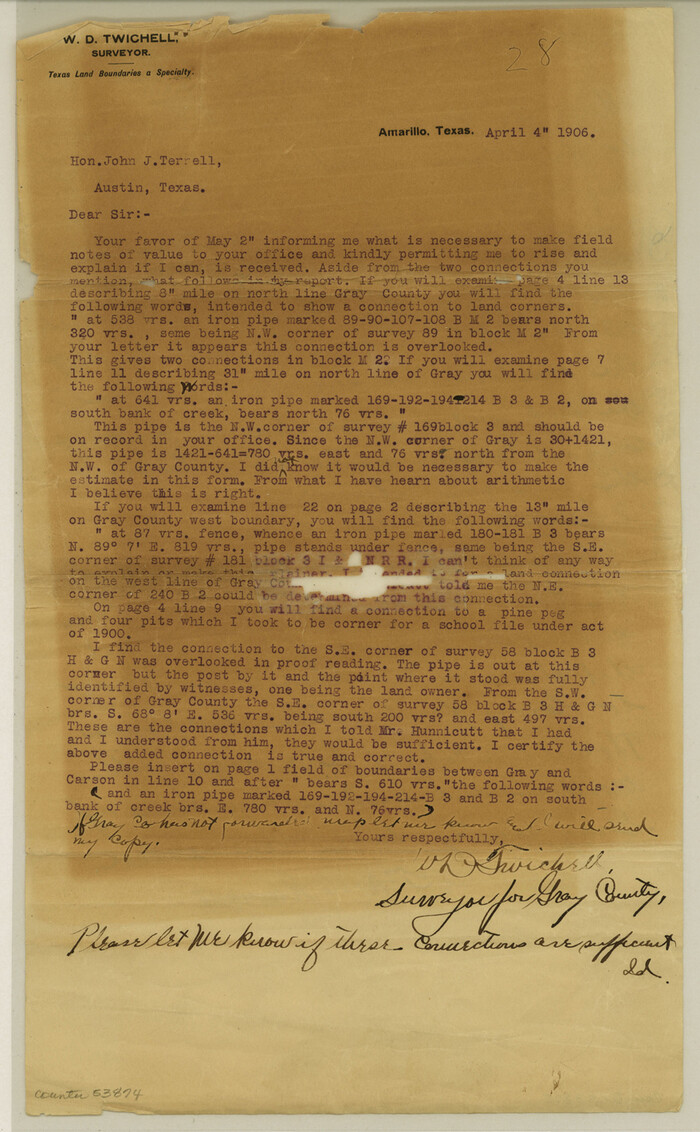
Gray County Boundary File 3a

Print $4.00
- Digital $50.00
Gray County Boundary File 3a
Size 14.2 x 8.8 inches
Map/Doc 53874
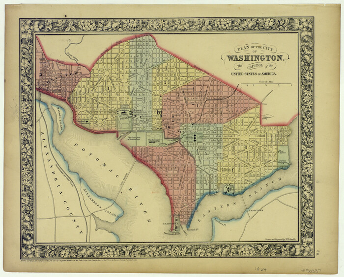
Plan of the City of Washington the Capitol of the United States of America

Print $20.00
- Digital $50.00
Plan of the City of Washington the Capitol of the United States of America
1863
Size 12.7 x 15.8 inches
Map/Doc 94475


