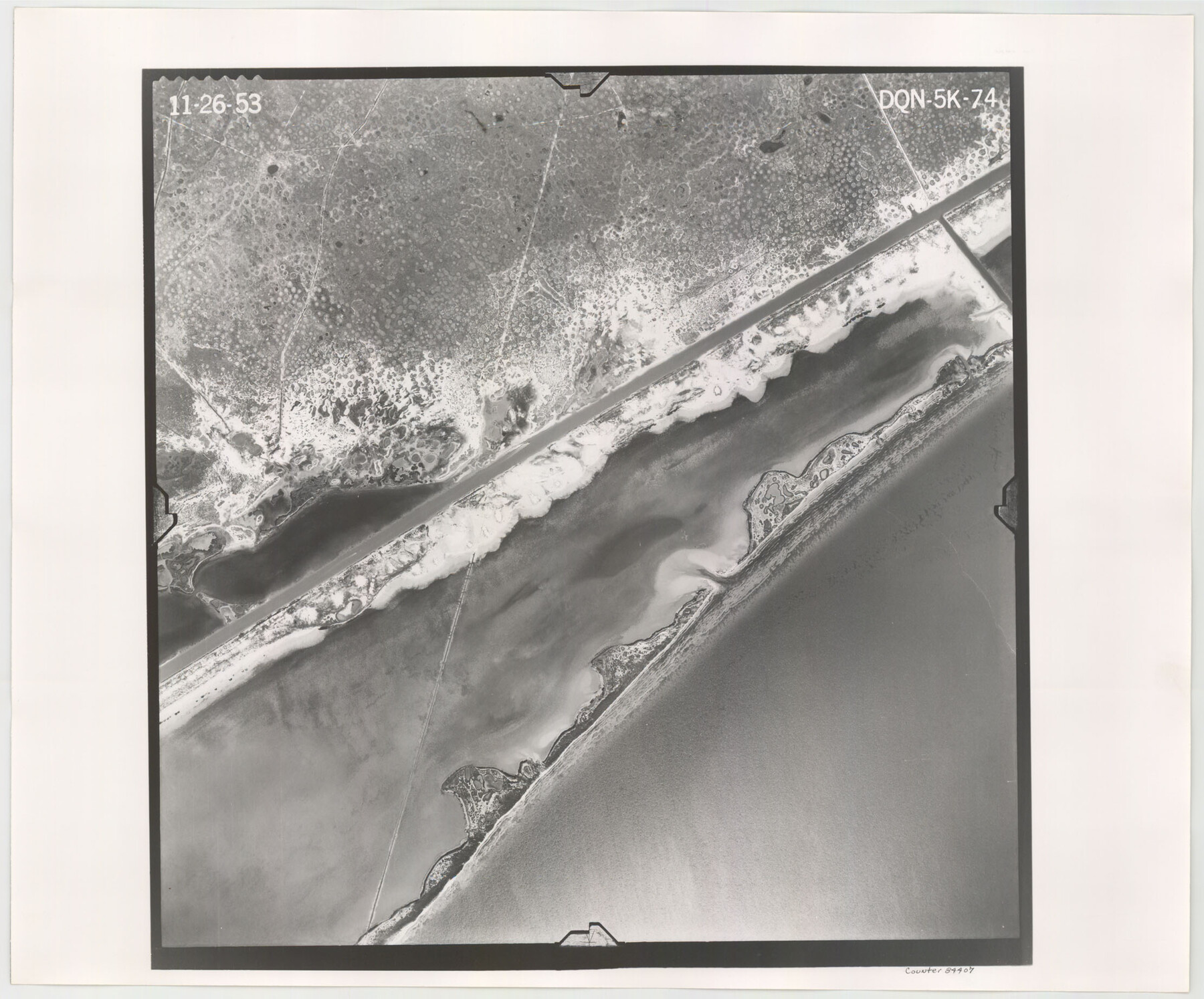
Flight Mission No. DQN-5K, Frame 74, Calhoun County
DQN-5K-74
-
Map/Doc
84407
-
Collection
General Map Collection
-
Object Dates
1953/11/26 (Creation Date)
-
People and Organizations
U. S. Department of Agriculture (Publisher)
-
Counties
Calhoun
-
Subjects
Aerial Photograph
-
Height x Width
18.5 x 22.2 inches
47.0 x 56.4 cm
-
Comments
Flown by Aero Exploration Company of Tulsa, Oklahoma.
Part of: General Map Collection
Tyler County Working Sketch 5

Print $20.00
- Digital $50.00
Tyler County Working Sketch 5
1928
Size 19.4 x 21.2 inches
Map/Doc 69475
Map of the Texas & Pacific Railway Company Reserve west of the Colorado River

Print $40.00
- Digital $50.00
Map of the Texas & Pacific Railway Company Reserve west of the Colorado River
1877
Size 48.9 x 59.2 inches
Map/Doc 2233
Jackson County Sketch File 12a

Print $40.00
- Digital $50.00
Jackson County Sketch File 12a
Size 17.4 x 14.4 inches
Map/Doc 27658

Erath County Sketch File 13a

Print $6.00
- Digital $50.00
Erath County Sketch File 13a
1872
Size 10.3 x 8.2 inches
Map/Doc 22287
Navarro County Sketch File 1

Print $4.00
- Digital $50.00
Navarro County Sketch File 1
Size 9.9 x 8.0 inches
Map/Doc 32296
Chambers County Rolled Sketch 7

Print $20.00
- Digital $50.00
Chambers County Rolled Sketch 7
Size 39.8 x 23.1 inches
Map/Doc 8611
Callahan County Working Sketch 1

Print $20.00
- Digital $50.00
Callahan County Working Sketch 1
1939
Size 30.6 x 32.6 inches
Map/Doc 67883
Cherokee County Sketch File 25

Print $4.00
- Digital $50.00
Cherokee County Sketch File 25
1852
Size 12.8 x 8.1 inches
Map/Doc 18167
Hudspeth County Rolled Sketch 69

Print $20.00
- Digital $50.00
Hudspeth County Rolled Sketch 69
1973
Size 13.3 x 20.5 inches
Map/Doc 7716
Swisher County Sketch File 2a

Print $96.00
- Digital $50.00
Swisher County Sketch File 2a
1891
Size 14.3 x 8.7 inches
Map/Doc 37578
Kerr County Working Sketch 21

Print $40.00
- Digital $50.00
Kerr County Working Sketch 21
1960
Size 24.4 x 54.5 inches
Map/Doc 70052
You may also like
Hamilton County Rolled Sketch 9

Print $20.00
- Digital $50.00
Hamilton County Rolled Sketch 9
1903
Size 32.8 x 30.4 inches
Map/Doc 9098
Culberson County Sketch File 41

Print $20.00
- Digital $50.00
Culberson County Sketch File 41
1920
Size 12.5 x 8.8 inches
Map/Doc 20312
Hardin County Sketch File 10

Print $4.00
- Digital $50.00
Hardin County Sketch File 10
1862
Size 12.5 x 8.0 inches
Map/Doc 25110
Map of Texas to Accompany Granger's Southern and Western Texas Guide

Print $20.00
Map of Texas to Accompany Granger's Southern and Western Texas Guide
1878
Size 26.4 x 20.4 inches
Map/Doc 76235
Brooks County Sketch File 7

Print $10.00
- Digital $50.00
Brooks County Sketch File 7
1946
Size 11.3 x 8.6 inches
Map/Doc 16566

Pecos County Rolled Sketch 71

Print $20.00
- Digital $50.00
Pecos County Rolled Sketch 71
Size 21.9 x 47.6 inches
Map/Doc 9703
Gray County Sketch File 13

Print $20.00
- Digital $50.00
Gray County Sketch File 13
1946
Size 16.7 x 15.9 inches
Map/Doc 11578
Jeff Davis County Sketch File 8

Print $20.00
- Digital $50.00
Jeff Davis County Sketch File 8
1889
Size 19.5 x 28.5 inches
Map/Doc 11857
Starr County Rolled Sketch 15

Print $20.00
- Digital $50.00
Starr County Rolled Sketch 15
1913
Size 22.7 x 23.6 inches
Map/Doc 7800
Bell County Sketch File 10

Print $4.00
- Digital $50.00
Bell County Sketch File 10
1851
Size 12.7 x 8.4 inches
Map/Doc 14381
El Paso County Sketch File 22

Print $22.00
- Digital $50.00
El Paso County Sketch File 22
1888
Size 14.2 x 9.0 inches
Map/Doc 22031