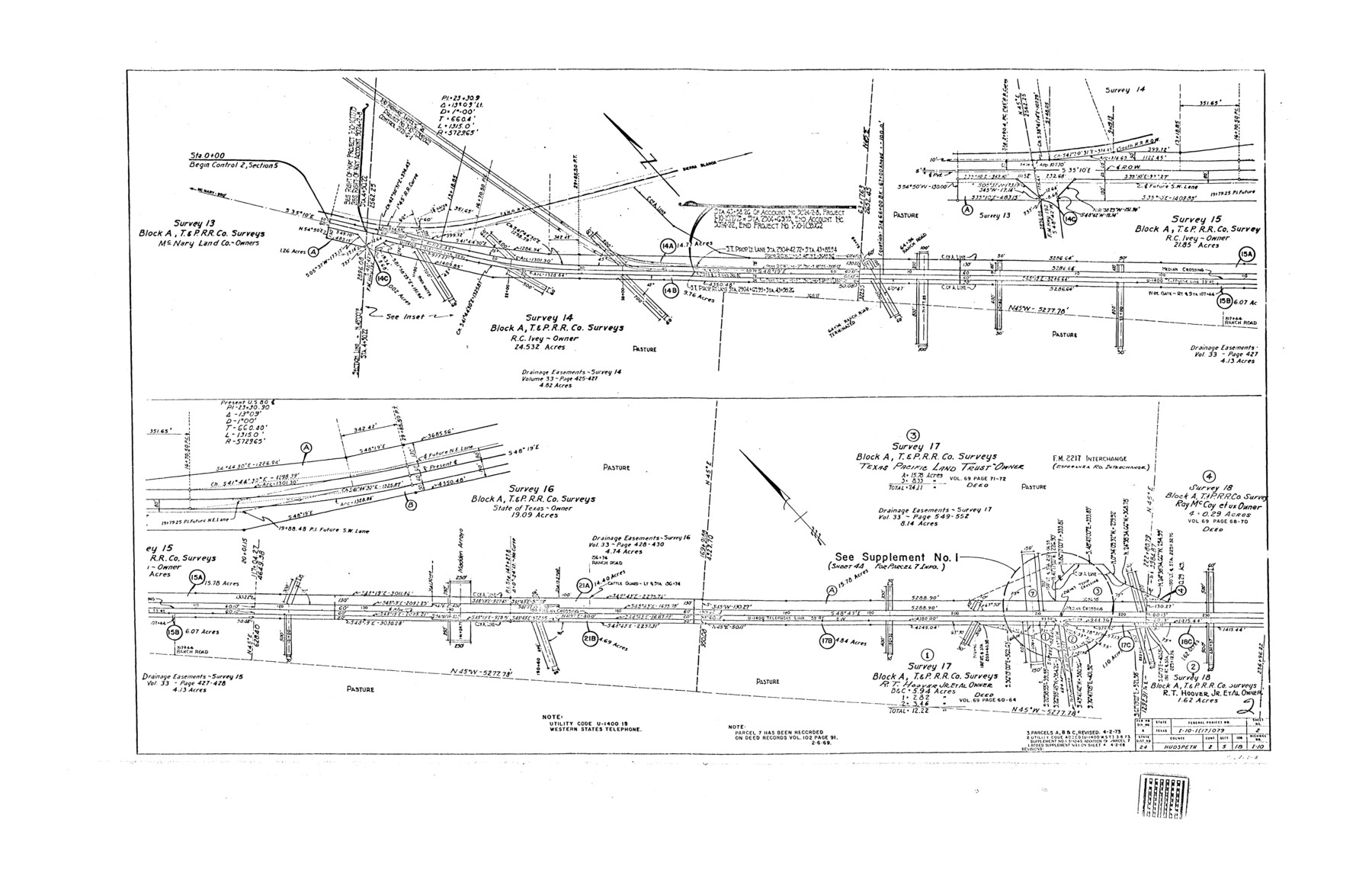
Hudspeth County Rolled Sketch 69
[Plan of proposed right of way project, Hudspeth County, Interstate Highway 10]
-
Map/Doc
7716
-
Collection
General Map Collection
-
Object Dates
1973/4/2 (Creation Date)
1989/3/20 (File Date)
-
People and Organizations
State Highway Department (Publisher)
-
Counties
Hudspeth
-
Subjects
Surveying Rolled Sketch
-
Height x Width
13.3 x 20.5 inches
33.8 x 52.1 cm
-
Medium
paper, photocopy
Part of: General Map Collection
Archer County Sketch File 29

Print $80.00
- Digital $50.00
Archer County Sketch File 29
1888
Size 21.8 x 16.5 inches
Map/Doc 10836
Hidalgo County Rolled Sketch 15

Print $40.00
- Digital $50.00
Hidalgo County Rolled Sketch 15
1963
Size 68.9 x 41.9 inches
Map/Doc 9170
Galveston Bay Entrance - Galveston and Texas City Harbors

Print $40.00
- Digital $50.00
Galveston Bay Entrance - Galveston and Texas City Harbors
1992
Size 37.1 x 55.6 inches
Map/Doc 69866
Newton County Working Sketch 2

Print $20.00
- Digital $50.00
Newton County Working Sketch 2
1905
Size 14.5 x 19.3 inches
Map/Doc 71248
Sutton County

Print $40.00
- Digital $50.00
Sutton County
1941
Size 40.9 x 54.3 inches
Map/Doc 77429
Current Miscellaneous File 28

Print $22.00
- Digital $50.00
Current Miscellaneous File 28
1952
Size 10.7 x 16.3 inches
Map/Doc 73911
PSF Field Notes for Blocks 42 1/2 and 43 in Culberson and Hudspeth Counties, and Blocks 30 through 41 in Hudspeth County

PSF Field Notes for Blocks 42 1/2 and 43 in Culberson and Hudspeth Counties, and Blocks 30 through 41 in Hudspeth County
Map/Doc 81660

Hill County Sketch File 20

Print $22.00
- Digital $50.00
Hill County Sketch File 20
1854
Size 8.3 x 7.7 inches
Map/Doc 26490
St. L. S-W. Ry. of Texas Map of Lufkin Branch in Cherokee County Texas

Print $40.00
- Digital $50.00
St. L. S-W. Ry. of Texas Map of Lufkin Branch in Cherokee County Texas
1912
Size 23.3 x 122.0 inches
Map/Doc 64020
Wood County Sketch File 12

Print $4.00
- Digital $50.00
Wood County Sketch File 12
1862
Size 12.8 x 8.3 inches
Map/Doc 40666
Cottle County Sketch File 2

Print $20.00
- Digital $50.00
Cottle County Sketch File 2
1882
Size 32.9 x 19.6 inches
Map/Doc 76757
You may also like
Jack County Sketch File 36

Print $120.00
- Digital $50.00
Jack County Sketch File 36
1882
Size 16.3 x 11.0 inches
Map/Doc 27575
Dimmit County Working Sketch 25

Print $20.00
- Digital $50.00
Dimmit County Working Sketch 25
1955
Size 24.9 x 18.3 inches
Map/Doc 68686
Webb County State Real Property Sketch 1

Print $40.00
- Digital $50.00
Webb County State Real Property Sketch 1
1985
Size 23.4 x 17.7 inches
Map/Doc 61664
Hydrographic Survey H-6395 of Outer Coast of Padre Island; Gulf of Mexico

Print $40.00
- Digital $50.00
Hydrographic Survey H-6395 of Outer Coast of Padre Island; Gulf of Mexico
1938
Size 55.1 x 33.3 inches
Map/Doc 2697
Aransas County Working Sketch 5

Print $20.00
- Digital $50.00
Aransas County Working Sketch 5
1928
Size 19.7 x 23.2 inches
Map/Doc 67172
Mills County Working Sketch 19

Print $20.00
- Digital $50.00
Mills County Working Sketch 19
1963
Size 18.6 x 31.2 inches
Map/Doc 71049
Voyages Autour du Monde, et vers les deux poles par terre et par mer - Tome Second

Voyages Autour du Monde, et vers les deux poles par terre et par mer - Tome Second
1782
Map/Doc 97086
Harris County Rolled Sketch 87A

Print $20.00
- Digital $50.00
Harris County Rolled Sketch 87A
Size 41.1 x 47.6 inches
Map/Doc 78250
Aransas Pass to Baffin Bay

Print $20.00
- Digital $50.00
Aransas Pass to Baffin Bay
1973
Size 42.0 x 35.1 inches
Map/Doc 73418

Railroad Track Map, H&TCRRCo., Falls County, Texas

Print $4.00
- Digital $50.00
Railroad Track Map, H&TCRRCo., Falls County, Texas
1918
Size 11.5 x 18.6 inches
Map/Doc 62850
Erath County Working Sketch 4

Print $20.00
- Digital $50.00
Erath County Working Sketch 4
1919
Size 31.7 x 28.6 inches
Map/Doc 69085