[Surveys in Austin's Colony along the San Bernardo River from the mouth of Peach Creek]
Atlas D, Sketch 21 (D-21)
D-21
-
Map/Doc
209
-
Collection
General Map Collection
-
Object Dates
[1821-1836] (Creation Date)
-
Counties
Fort Bend
-
Subjects
Atlas Colony
-
Height x Width
23.4 x 10.6 inches
59.4 x 26.9 cm
-
Medium
paper, manuscript
-
Comments
Conserved in 2004.
Part of: General Map Collection
Rusk County Sketch File 15
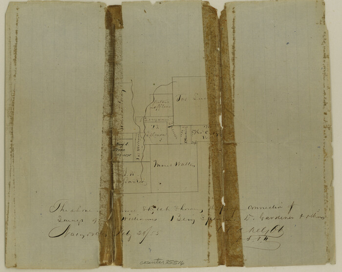

Print $4.00
Rusk County Sketch File 15
1855
Size 8.1 x 10.1 inches
Map/Doc 35516
Texas Official Travel Map
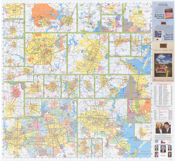

Digital $50.00
Texas Official Travel Map
Size 33.6 x 36.5 inches
Map/Doc 94301
Calhoun County Sketch File 2


Print $40.00
- Digital $50.00
Calhoun County Sketch File 2
1856
Size 20.2 x 15.8 inches
Map/Doc 11032
Flight Mission No. CRE-1R, Frame 129, Jackson County


Print $20.00
- Digital $50.00
Flight Mission No. CRE-1R, Frame 129, Jackson County
1956
Size 18.5 x 22.3 inches
Map/Doc 85337
Culberson County Working Sketch 28
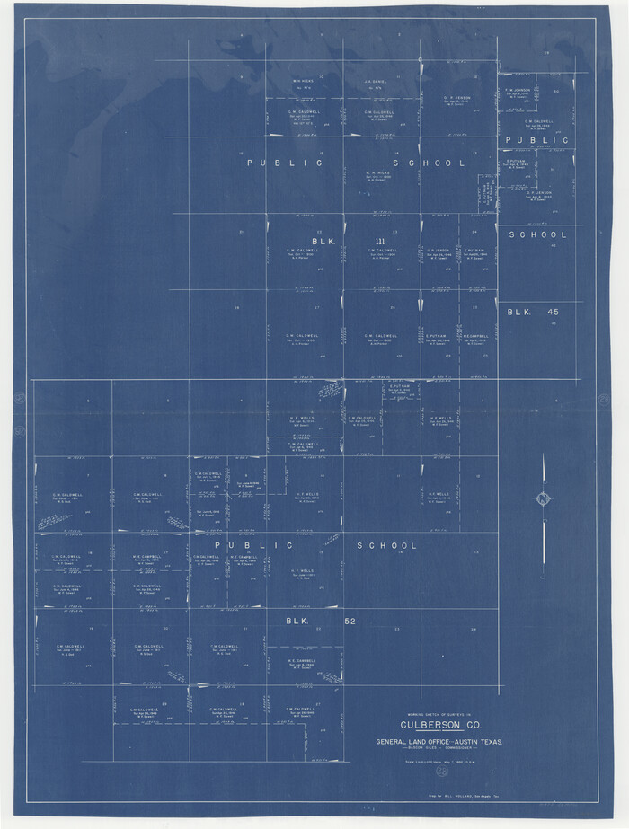

Print $40.00
- Digital $50.00
Culberson County Working Sketch 28
1952
Size 51.3 x 38.9 inches
Map/Doc 68481
Gillespie County
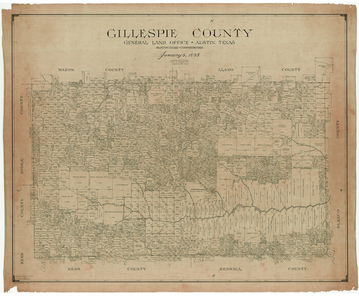

Print $40.00
- Digital $50.00
Gillespie County
1945
Size 39.5 x 48.9 inches
Map/Doc 1838
Kerr County Working Sketch 26
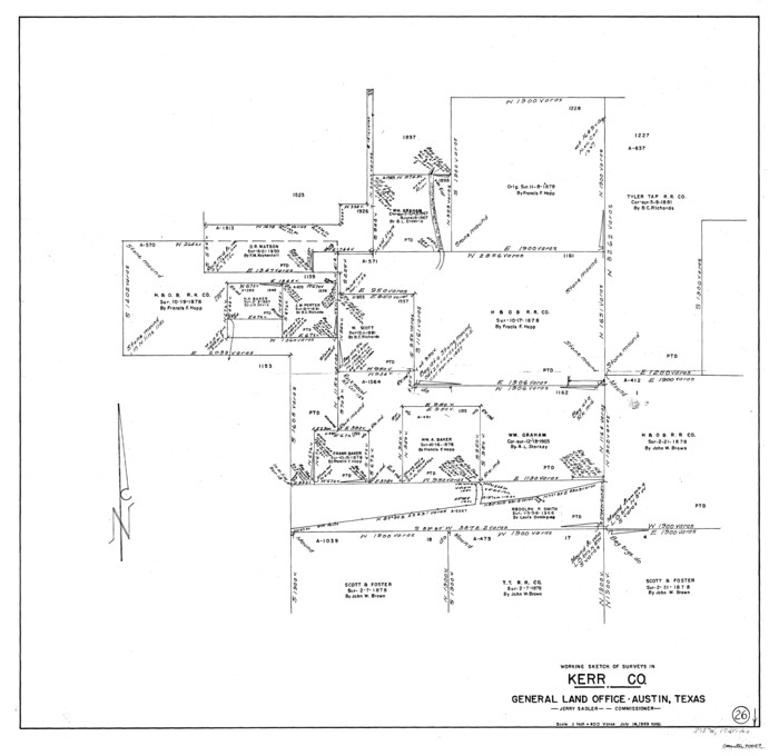

Print $20.00
- Digital $50.00
Kerr County Working Sketch 26
1969
Size 31.2 x 32.1 inches
Map/Doc 70057
Atascosa County Working Sketch 5


Print $3.00
- Digital $50.00
Atascosa County Working Sketch 5
1913
Size 10.9 x 11.3 inches
Map/Doc 67201
Tarrant County Sketch File 21


Print $4.00
- Digital $50.00
Tarrant County Sketch File 21
Size 12.5 x 8.4 inches
Map/Doc 37725
Newton County Working Sketch 33
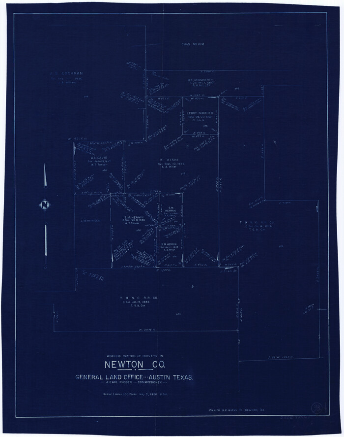

Print $20.00
- Digital $50.00
Newton County Working Sketch 33
1956
Size 28.3 x 22.3 inches
Map/Doc 71279
Calhoun County Sketch File 18
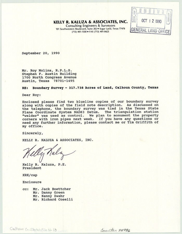

Print $61.00
- Digital $50.00
Calhoun County Sketch File 18
1990
Size 11.2 x 8.7 inches
Map/Doc 35986
Navigation Maps of Gulf Intracoastal Waterway, Port Arthur to Brownsville, Texas


Print $4.00
- Digital $50.00
Navigation Maps of Gulf Intracoastal Waterway, Port Arthur to Brownsville, Texas
1951
Size 16.6 x 21.3 inches
Map/Doc 65431
You may also like
Where Did Columbus Discover America?
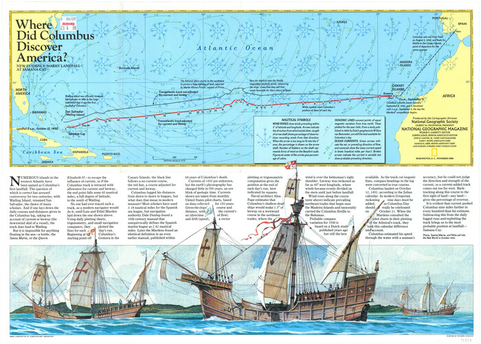

Where Did Columbus Discover America?
1986
Size 14.7 x 20.6 inches
Map/Doc 96837
America sive novvs orbis respectv evropaeorvm inferior globi terrestris pars 1596


Print $20.00
- Digital $50.00
America sive novvs orbis respectv evropaeorvm inferior globi terrestris pars 1596
1596
Size 14.7 x 18.1 inches
Map/Doc 93809
Montague County Sketch File 25


Print $8.00
- Digital $50.00
Montague County Sketch File 25
1942
Size 11.2 x 8.8 inches
Map/Doc 31756
Exploration of the Red River of Louisiana in the the year 1852 by Randolph B. Marcy, Captain Fifth Infantry U.S. Army; assisted by George B. McClellan, Brevet Captain U.S. Engineers


Exploration of the Red River of Louisiana in the the year 1852 by Randolph B. Marcy, Captain Fifth Infantry U.S. Army; assisted by George B. McClellan, Brevet Captain U.S. Engineers
Size 9.5 x 11.7 inches
Map/Doc 95321
Spade Ranch Hockley County, Texas


Print $20.00
- Digital $50.00
Spade Ranch Hockley County, Texas
1948
Size 14.2 x 19.0 inches
Map/Doc 92225
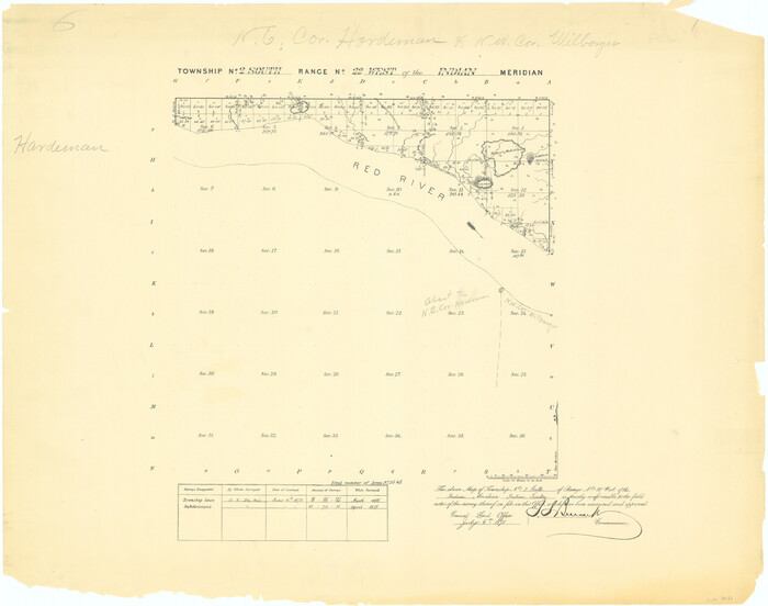
Township No. 2 South Range No. 22 West of the Indian Meridian

Print $20.00
- Digital $50.00
Township No. 2 South Range No. 22 West of the Indian Meridian
1875
Size 19.2 x 24.3 inches
Map/Doc 75176
Official Map of the City of Waxahachie, Texas
.tif.jpg)
.tif.jpg)
Print $20.00
- Digital $50.00
Official Map of the City of Waxahachie, Texas
1922
Size 41.4 x 40.8 inches
Map/Doc 4841
Flight Mission No. DQN-2K, Frame 64, Calhoun County


Print $20.00
- Digital $50.00
Flight Mission No. DQN-2K, Frame 64, Calhoun County
1953
Size 18.6 x 22.3 inches
Map/Doc 84256
Map showing the resurvey of Block M24 T. C. R.R. Co. in Hutchinson County, Texas


Print $20.00
- Digital $50.00
Map showing the resurvey of Block M24 T. C. R.R. Co. in Hutchinson County, Texas
Size 28.8 x 30.8 inches
Map/Doc 76178
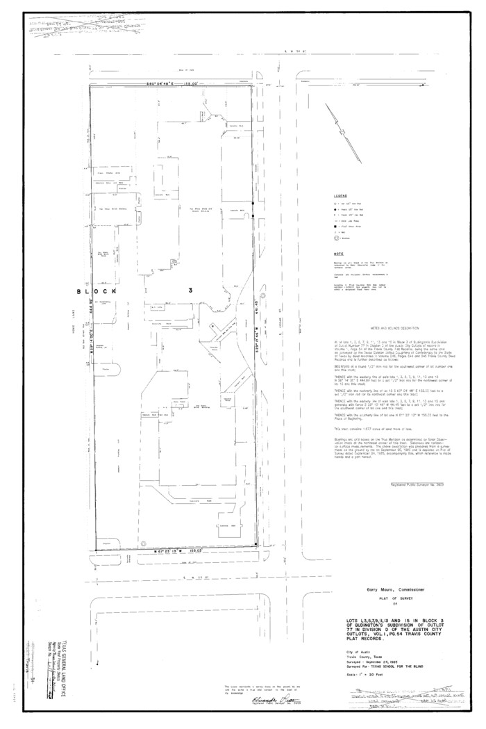
Travis County State Real Property Sketch 1

Print $20.00
- Digital $50.00
Travis County State Real Property Sketch 1
1985
Size 34.9 x 23.3 inches
Map/Doc 61691
Sheet 5 copied from Peck Book 6 [Strip Map showing T. & P. connecting lines]
![93171, Sheet 5 copied from Peck Book 6 [Strip Map showing T. & P. connecting lines], Twichell Survey Records](https://historictexasmaps.com/wmedia_w700/maps/93171-1.tif.jpg)
![93171, Sheet 5 copied from Peck Book 6 [Strip Map showing T. & P. connecting lines], Twichell Survey Records](https://historictexasmaps.com/wmedia_w700/maps/93171-1.tif.jpg)
Print $40.00
- Digital $50.00
Sheet 5 copied from Peck Book 6 [Strip Map showing T. & P. connecting lines]
1909
Size 7.0 x 70.7 inches
Map/Doc 93171
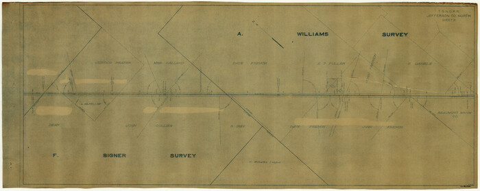
T. & N. O. R.R. Jefferson Co. North

Print $20.00
- Digital $50.00
T. & N. O. R.R. Jefferson Co. North
1917
Size 13.4 x 33.5 inches
Map/Doc 64056
![209, [Surveys in Austin's Colony along the San Bernardo River from the mouth of Peach Creek], General Map Collection](https://historictexasmaps.com/wmedia_w1800h1800/maps/209.tif.jpg)