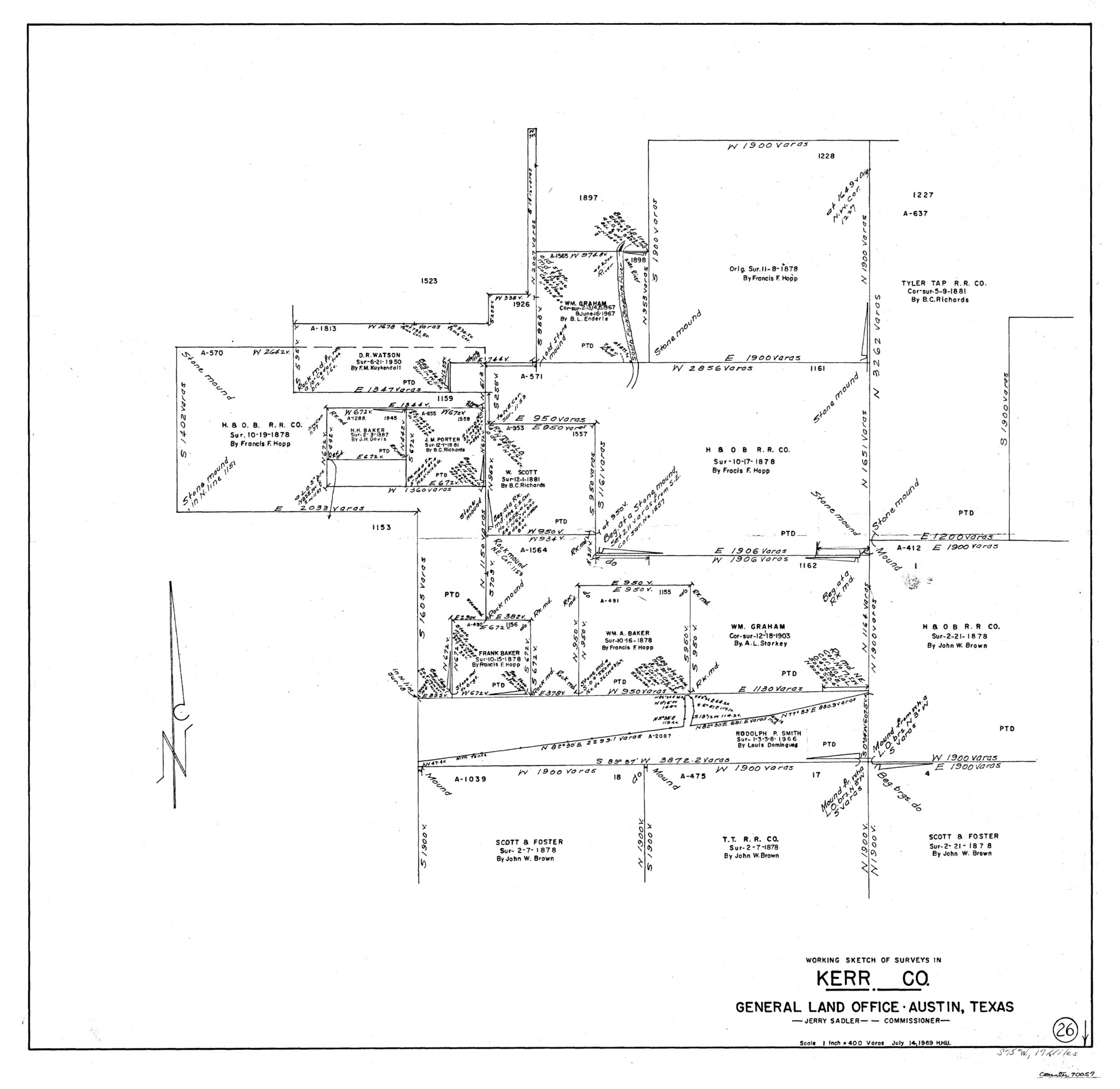
Kerr County Working Sketch 26
-
Map/Doc
70057
-
Collection
General Map Collection
-
Object Dates
7/14/1969 (Creation Date)
-
People and Organizations
Herbert H. Ulbricht (Draftsman)
-
Counties
Kerr
-
Subjects
Surveying Working Sketch
-
Height x Width
31.2 x 32.1 inches
79.3 x 81.5 cm
-
Scale
1" = 400 varas
Part of: General Map Collection
Titus County Sketch File 10

Print $4.00
- Digital $50.00
Titus County Sketch File 10
1871
Size 8.1 x 12.9 inches
Map/Doc 38148
Map of Jack County

Print $20.00
- Digital $50.00
Map of Jack County
Size 18.4 x 15.9 inches
Map/Doc 3702
Cass County Sketch File 11

Print $6.00
- Digital $50.00
Cass County Sketch File 11
Size 10.4 x 14.4 inches
Map/Doc 17412
Motley County Sketch File 16 (N)

Print $16.00
- Digital $50.00
Motley County Sketch File 16 (N)
1911
Size 11.0 x 8.6 inches
Map/Doc 32052
United States - Gulf Coast - From Latitude 26° 33' to the Rio Grande Texas

Print $20.00
- Digital $50.00
United States - Gulf Coast - From Latitude 26° 33' to the Rio Grande Texas
1913
Size 18.5 x 27.6 inches
Map/Doc 72841
Flight Mission No. DAH-17M, Frame 26, Orange County

Print $20.00
- Digital $50.00
Flight Mission No. DAH-17M, Frame 26, Orange County
1953
Size 18.3 x 22.3 inches
Map/Doc 86889
Uvalde County Rolled Sketch 17

Print $20.00
- Digital $50.00
Uvalde County Rolled Sketch 17
Size 26.7 x 22.2 inches
Map/Doc 8101
Newton County Working Sketch 5

Print $20.00
- Digital $50.00
Newton County Working Sketch 5
1926
Size 16.0 x 20.0 inches
Map/Doc 71251
Lamar County Sketch File 15

Print $134.00
- Digital $50.00
Lamar County Sketch File 15
1989
Size 14.5 x 9.1 inches
Map/Doc 29310
Red River County Working Sketch 80

Print $20.00
- Digital $50.00
Red River County Working Sketch 80
1982
Size 24.1 x 29.3 inches
Map/Doc 72063
Liberty County Sketch File 33

Print $4.00
- Digital $50.00
Liberty County Sketch File 33
Size 10.7 x 7.8 inches
Map/Doc 29967
[Val Verde County]
![63097, [Val Verde County], General Map Collection](https://historictexasmaps.com/wmedia_w700/maps/63097.tif.jpg)
Print $20.00
- Digital $50.00
[Val Verde County]
1898
Size 41.1 x 37.1 inches
Map/Doc 63097
You may also like
North Line of Stonewall County, South Line of King County

Print $20.00
- Digital $50.00
North Line of Stonewall County, South Line of King County
1895
Size 8.0 x 41.1 inches
Map/Doc 91058
Mitchell County Sketch File 2

Print $22.00
- Digital $50.00
Mitchell County Sketch File 2
Size 9.1 x 14.0 inches
Map/Doc 31688
Angelina County Working Sketch 21

Print $20.00
- Digital $50.00
Angelina County Working Sketch 21
1947
Size 35.7 x 35.8 inches
Map/Doc 67102
[SW Corner of Lynn County]
![92903, [SW Corner of Lynn County], Twichell Survey Records](https://historictexasmaps.com/wmedia_w700/maps/92903-1.tif.jpg)
Print $20.00
- Digital $50.00
[SW Corner of Lynn County]
1954
Size 32.2 x 31.1 inches
Map/Doc 92903
Newton County Aerial Photograph Index Sheet 6

Print $20.00
- Digital $50.00
Newton County Aerial Photograph Index Sheet 6
1953
Size 24.0 x 18.4 inches
Map/Doc 83735
Williamson County Sketch File 24

Print $12.00
- Digital $50.00
Williamson County Sketch File 24
1877
Size 12.8 x 8.1 inches
Map/Doc 40355
Flight Mission No. BQR-9K, Frame 6, Brazoria County

Print $20.00
- Digital $50.00
Flight Mission No. BQR-9K, Frame 6, Brazoria County
1952
Size 18.7 x 22.4 inches
Map/Doc 84035
[Z. C. Collier survey owned by Pease Estate, Hutchinson County]
![4472, [Z. C. Collier survey owned by Pease Estate, Hutchinson County], Maddox Collection](https://historictexasmaps.com/wmedia_w700/maps/4472-1.tif.jpg)
Print $20.00
- Digital $50.00
[Z. C. Collier survey owned by Pease Estate, Hutchinson County]
Size 19.0 x 20.8 inches
Map/Doc 4472
Stephens County Rolled Sketch 5

Print $20.00
- Digital $50.00
Stephens County Rolled Sketch 5
Size 23.2 x 37.2 inches
Map/Doc 7842
Map of Spearman Lands

Print $20.00
- Digital $50.00
Map of Spearman Lands
Size 20.0 x 15.4 inches
Map/Doc 90793
Swisher County Boundary File 1

Print $72.00
- Digital $50.00
Swisher County Boundary File 1
Size 9.0 x 4.5 inches
Map/Doc 59075
Sterling County Sketch File 8

Print $20.00
- Digital $50.00
Sterling County Sketch File 8
1916
Size 27.2 x 25.2 inches
Map/Doc 12357