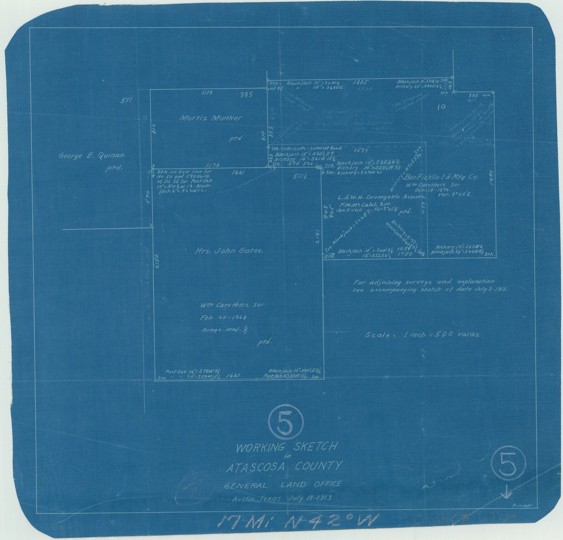
Atascosa County Working Sketch 5
-
Map/Doc
67201
-
Collection
General Map Collection
-
Object Dates
7/18/1913 (Creation Date)
-
People and Organizations
John W. Pritchett (Draftsman)
-
Counties
Atascosa
-
Subjects
Surveying Working Sketch
-
Height x Width
10.9 x 11.3 inches
27.7 x 28.7 cm
-
Scale
1" = 500 varas
-
Comments
Surveys located about 17 miles North 42 degrees West of Jourdanton, Texas.
Part of: General Map Collection
Brewster County Rolled Sketch 89

Print $40.00
- Digital $50.00
Brewster County Rolled Sketch 89
1947
Size 37.3 x 63.4 inches
Map/Doc 8499
Reeves County Rolled Sketch 22

Print $20.00
- Digital $50.00
Reeves County Rolled Sketch 22
1960
Size 40.8 x 20.9 inches
Map/Doc 7490
Tom Green County Rolled Sketch 8

Print $20.00
- Digital $50.00
Tom Green County Rolled Sketch 8
Size 18.3 x 26.0 inches
Map/Doc 7996
Tom Green County Sketch File 35

Print $6.00
- Digital $50.00
Tom Green County Sketch File 35
Size 10.2 x 15.9 inches
Map/Doc 38192
United States - Gulf Coast Texas - Southern part of Laguna Madre

Print $20.00
- Digital $50.00
United States - Gulf Coast Texas - Southern part of Laguna Madre
1941
Size 26.5 x 18.3 inches
Map/Doc 72955
Webb County Boundary File 7

Print $98.00
- Digital $50.00
Webb County Boundary File 7
Size 14.2 x 8.7 inches
Map/Doc 59809
Montgomery County Rolled Sketch 9

Print $20.00
- Digital $50.00
Montgomery County Rolled Sketch 9
1899
Size 19.5 x 20.1 inches
Map/Doc 6795
Stonewall County Working Sketch 13

Print $20.00
- Digital $50.00
Stonewall County Working Sketch 13
1951
Size 31.9 x 33.7 inches
Map/Doc 62320
Map of La Salle County

Print $20.00
- Digital $50.00
Map of La Salle County
1877
Size 29.7 x 21.6 inches
Map/Doc 3796
Falls County Boundary File 2

Print $6.00
- Digital $50.00
Falls County Boundary File 2
Size 9.9 x 6.6 inches
Map/Doc 53263
Baylor County Sketch File 7

Print $4.00
- Digital $50.00
Baylor County Sketch File 7
Size 6.7 x 10.2 inches
Map/Doc 14135
Childress County Rolled Sketch 5

Print $20.00
- Digital $50.00
Childress County Rolled Sketch 5
1913
Size 31.2 x 24.7 inches
Map/Doc 5439
You may also like
Brewster County Working Sketch 53

Print $20.00
- Digital $50.00
Brewster County Working Sketch 53
1951
Size 32.1 x 16.5 inches
Map/Doc 67587
San Augustine County Sketch File 20

Print $82.00
- Digital $50.00
San Augustine County Sketch File 20
1951
Size 8.9 x 14.4 inches
Map/Doc 35680
A. H. Baer Estate

Print $20.00
- Digital $50.00
A. H. Baer Estate
Size 18.4 x 15.6 inches
Map/Doc 92748
Map of Pecos and Reeves Counties

Print $40.00
- Digital $50.00
Map of Pecos and Reeves Counties
1873
Size 45.3 x 115.6 inches
Map/Doc 75930
Harris County Rolled Sketch 33

Print $20.00
- Digital $50.00
Harris County Rolled Sketch 33
1912
Size 26.0 x 34.5 inches
Map/Doc 6097
Dallas County Sketch File 17

Print $20.00
- Digital $50.00
Dallas County Sketch File 17
Size 17.1 x 18.0 inches
Map/Doc 11285
Kleberg County Aerial Photograph Index Sheet 1

Print $20.00
- Digital $50.00
Kleberg County Aerial Photograph Index Sheet 1
1956
Size 19.6 x 23.6 inches
Map/Doc 83718
Culberson County Working Sketch 11

Print $20.00
- Digital $50.00
Culberson County Working Sketch 11
1920
Size 29.6 x 22.9 inches
Map/Doc 68463
Township No. 5 South Range No. 15 West of the Indian Meridian

Print $4.00
- Digital $50.00
Township No. 5 South Range No. 15 West of the Indian Meridian
1875
Size 18.1 x 23.1 inches
Map/Doc 75138
Map of Pecos County Texas

Print $20.00
- Digital $50.00
Map of Pecos County Texas
Size 24.5 x 19.8 inches
Map/Doc 3951
Map of the Mexican National Railway showing the lines granted by the Mexican Government to the Mexican National Construction Company (Palmer-Sullivan Concession)

Print $20.00
Map of the Mexican National Railway showing the lines granted by the Mexican Government to the Mexican National Construction Company (Palmer-Sullivan Concession)
1881
Size 26.8 x 40.6 inches
Map/Doc 95315
Harris County Boundary File 39 (12)

Print $4.00
- Digital $50.00
Harris County Boundary File 39 (12)
Size 7.7 x 8.1 inches
Map/Doc 54339