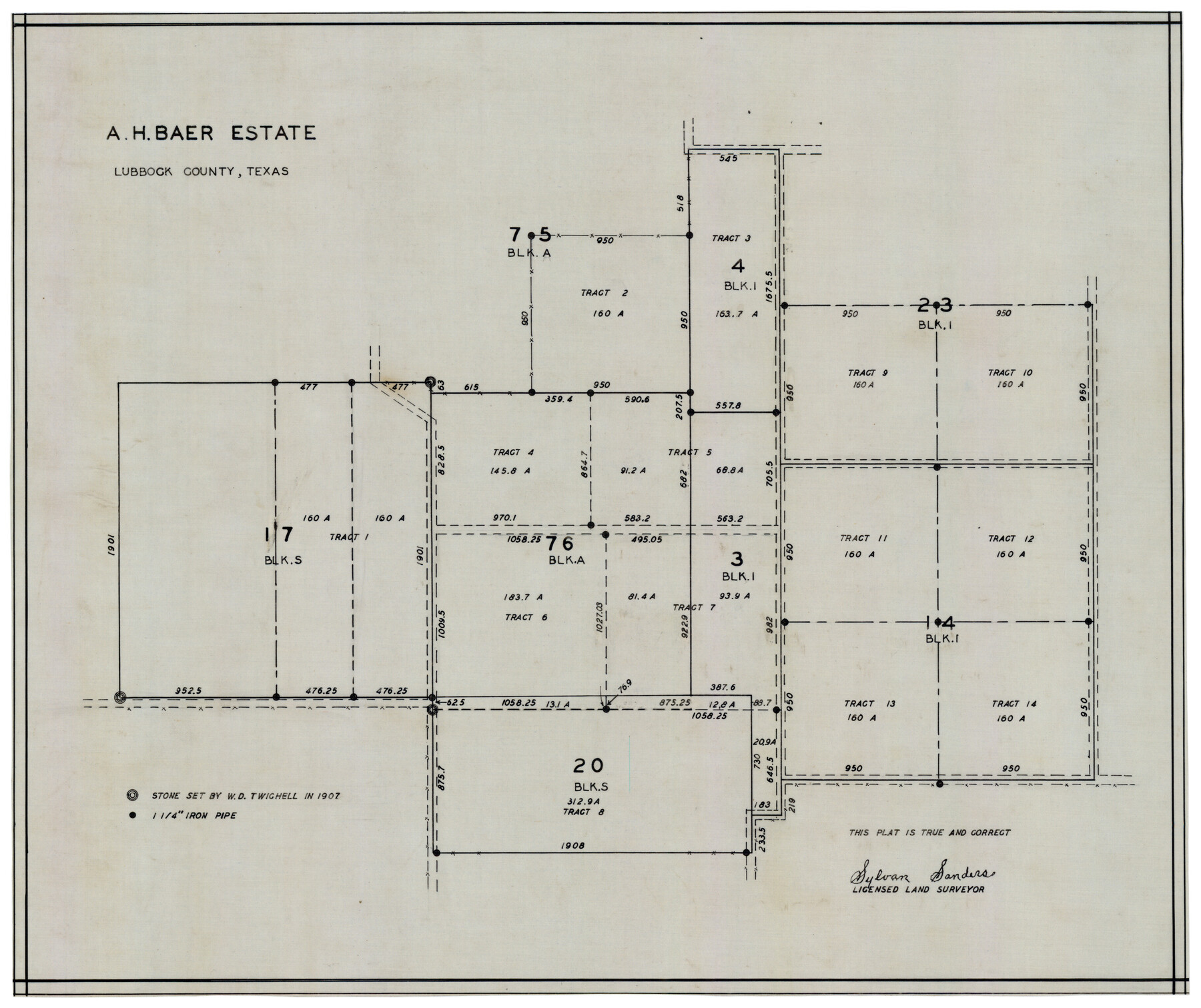
A. H. Baer Estate
-
Map/Doc
92748
-
Collection
Twichell Survey Records
-
People and Organizations
Sylvan Sanders (Surveyor/Engineer)
-
Counties
Lubbock
-
Height x Width
18.4 x 15.6 inches
46.7 x 39.6 cm
Part of: Twichell Survey Records
[C.C.S.D. & R.G.N.G. RR. Co. Blk. G east thru T.&P. Blk 33]
![89777, [C.C.S.D. & R.G.N.G. RR. Co. Blk. G east thru T.&P. Blk 33], Twichell Survey Records](https://historictexasmaps.com/wmedia_w700/maps/89777-1.tif.jpg)
Print $40.00
- Digital $50.00
[C.C.S.D. & R.G.N.G. RR. Co. Blk. G east thru T.&P. Blk 33]
1901
Size 69.8 x 24.3 inches
Map/Doc 89777
[Part of Block GG]
![90314, [Part of Block GG], Twichell Survey Records](https://historictexasmaps.com/wmedia_w700/maps/90314-1.tif.jpg)
Print $20.00
- Digital $50.00
[Part of Block GG]
Size 15.2 x 21.5 inches
Map/Doc 90314
Map of the Northwest Portion of Hutchinson County Showing the Proposed Resurvey of Block M24

Print $20.00
- Digital $50.00
Map of the Northwest Portion of Hutchinson County Showing the Proposed Resurvey of Block M24
Size 32.4 x 30.1 inches
Map/Doc 91237
[Sketch showing B. S. & F. Block 9]
![91743, [Sketch showing B. S. & F. Block 9], Twichell Survey Records](https://historictexasmaps.com/wmedia_w700/maps/91743-1.tif.jpg)
Print $20.00
- Digital $50.00
[Sketch showing B. S. & F. Block 9]
Size 25.1 x 34.1 inches
Map/Doc 91743
Tech Memorial Park, Inc. Section Q

Print $20.00
- Digital $50.00
Tech Memorial Park, Inc. Section Q
Size 34.8 x 21.2 inches
Map/Doc 92357
Working Sketch in Stephens County

Print $2.00
- Digital $50.00
Working Sketch in Stephens County
1919
Size 9.1 x 11.2 inches
Map/Doc 91910
[Leagues 656-666, 671-676, 684-688, 692-695]
![91007, [Leagues 656-666, 671-676, 684-688, 692-695], Twichell Survey Records](https://historictexasmaps.com/wmedia_w700/maps/91007-1.tif.jpg)
Print $20.00
- Digital $50.00
[Leagues 656-666, 671-676, 684-688, 692-695]
Size 30.6 x 20.7 inches
Map/Doc 91007
C. B. Livestock Co.'s West-Ranch, Bailey County, Texas

Print $2.00
- Digital $50.00
C. B. Livestock Co.'s West-Ranch, Bailey County, Texas
Size 8.8 x 11.2 inches
Map/Doc 90380
Slaton-Tex Sewer System

Print $20.00
- Digital $50.00
Slaton-Tex Sewer System
1922
Size 44.3 x 30.6 inches
Map/Doc 92819
Sketch Portion of Lamb County, Texas

Print $20.00
- Digital $50.00
Sketch Portion of Lamb County, Texas
1924
Size 19.9 x 21.4 inches
Map/Doc 92176
North Half, Harris County, Texas - Ownership Map with Well Data

North Half, Harris County, Texas - Ownership Map with Well Data
1948
Size 121.9 x 44.3 inches
Map/Doc 93206
[Sketch showing surveys in Blocks 1, 2, 3, 5, 8, 9, B-4 and S]
![91753, [Sketch showing surveys in Blocks 1, 2, 3, 5, 8, 9, B-4 and S], Twichell Survey Records](https://historictexasmaps.com/wmedia_w700/maps/91753-1.tif.jpg)
Print $20.00
- Digital $50.00
[Sketch showing surveys in Blocks 1, 2, 3, 5, 8, 9, B-4 and S]
1875
Size 27.8 x 27.2 inches
Map/Doc 91753
You may also like
Aransas County Working Sketch 16

Print $40.00
- Digital $50.00
Aransas County Working Sketch 16
1965
Size 55.3 x 43.1 inches
Map/Doc 67183
Coast Chart No. 210 Aransas Pass and Corpus Christi Bay with the coast to latitude 27° 12' Texas

Print $20.00
- Digital $50.00
Coast Chart No. 210 Aransas Pass and Corpus Christi Bay with the coast to latitude 27° 12' Texas
1887
Size 27.5 x 18.2 inches
Map/Doc 72802
Flight Mission No. BQR-13K, Frame 121, Brazoria County

Print $20.00
- Digital $50.00
Flight Mission No. BQR-13K, Frame 121, Brazoria County
1952
Size 18.6 x 22.3 inches
Map/Doc 84082
The Republic of Texas, March 2, 1836 - February 19, 1846

The Republic of Texas, March 2, 1836 - February 19, 1846
1972
Size 23.4 x 18.3 inches
Map/Doc 2109
Galveston County NRC Article 33.136 Sketch 32

Print $26.00
- Digital $50.00
Galveston County NRC Article 33.136 Sketch 32
2005
Size 24.5 x 36.8 inches
Map/Doc 83173
Ellis County Sketch File 13

Print $40.00
- Digital $50.00
Ellis County Sketch File 13
1860
Size 12.6 x 16.0 inches
Map/Doc 21852
Rand, McNally and Co.'s Texas and Indian Territory

Print $20.00
- Digital $50.00
Rand, McNally and Co.'s Texas and Indian Territory
1883
Size 24.3 x 18.6 inches
Map/Doc 4331
Map of Runnels County

Print $20.00
- Digital $50.00
Map of Runnels County
1858
Size 24.7 x 25.6 inches
Map/Doc 4004
Carte du Spits-Berg, et partie de la Côte de Galles hams-kes au nouveau Groenland

Print $20.00
- Digital $50.00
Carte du Spits-Berg, et partie de la Côte de Galles hams-kes au nouveau Groenland
1782
Size 13.8 x 19.8 inches
Map/Doc 97123
Map of north end of Brazos Island

Print $20.00
- Digital $50.00
Map of north end of Brazos Island
1845
Size 24.2 x 18.3 inches
Map/Doc 72920
The Mexican Municipality of Jackson. Created, December 5, 1835

Print $20.00
The Mexican Municipality of Jackson. Created, December 5, 1835
2020
Size 17.7 x 21.7 inches
Map/Doc 96023
Jefferson County NRC Article 33.136 Sketch 10

Print $28.00
- Digital $50.00
Jefferson County NRC Article 33.136 Sketch 10
2012
Size 24.0 x 36.0 inches
Map/Doc 94575