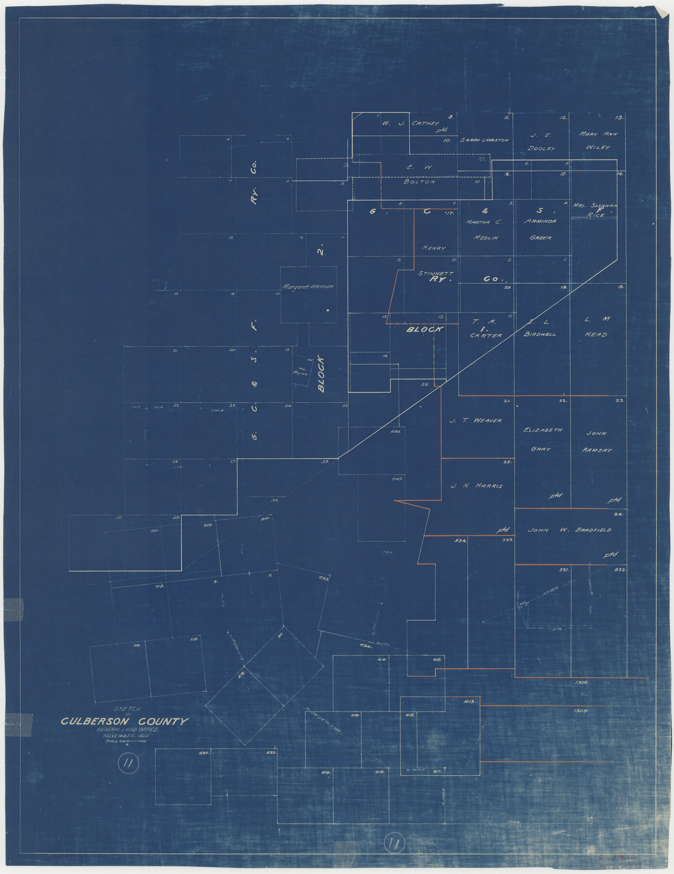
Culberson County Working Sketch 11
-
Map/Doc
68463
-
Collection
General Map Collection
-
Object Dates
11/1920 (Creation Date)
-
Counties
Culberson
-
Subjects
Surveying Working Sketch
-
Height x Width
29.6 x 22.9 inches
75.2 x 58.2 cm
-
Scale
1" = 1000 varas
Part of: General Map Collection
Sutton County Rolled Sketch 35

Print $20.00
- Digital $50.00
Sutton County Rolled Sketch 35
1886
Size 30.3 x 28.4 inches
Map/Doc 7879

Cass County Working Sketch 26

Print $20.00
- Digital $50.00
Cass County Working Sketch 26
1974
Size 32.1 x 28.9 inches
Map/Doc 67929
Andrews County Rolled Sketch 46

Print $40.00
- Digital $50.00
Andrews County Rolled Sketch 46
2013
Size 52.0 x 36.0 inches
Map/Doc 93641
Map of Anderson County

Print $20.00
- Digital $50.00
Map of Anderson County
1895
Size 46.7 x 37.5 inches
Map/Doc 4866
Val Verde County Working Sketch 10

Print $20.00
- Digital $50.00
Val Verde County Working Sketch 10
1920
Size 31.7 x 21.2 inches
Map/Doc 72145
Austin County Sketch File 3

Print $40.00
- Digital $50.00
Austin County Sketch File 3
Size 17.1 x 13.6 inches
Map/Doc 10870
Flight Mission No. BRE-4P, Frame 170, Nueces County

Print $20.00
- Digital $50.00
Flight Mission No. BRE-4P, Frame 170, Nueces County
1956
Size 18.5 x 22.6 inches
Map/Doc 86833
Flight Mission No. BRA-7M, Frame 73, Jefferson County

Print $20.00
- Digital $50.00
Flight Mission No. BRA-7M, Frame 73, Jefferson County
1953
Size 18.7 x 22.4 inches
Map/Doc 85495
Kendall County Rolled Sketch 8

Print $20.00
- Digital $50.00
Kendall County Rolled Sketch 8
1994
Size 17.0 x 18.3 inches
Map/Doc 6461
Morris County Rolled Sketch 2A

Print $20.00
- Digital $50.00
Morris County Rolled Sketch 2A
Size 36.7 x 25.1 inches
Map/Doc 10259
A Pocket Guide to Austin, Texas - Area Map and Downtown Map

A Pocket Guide to Austin, Texas - Area Map and Downtown Map
Size 17.0 x 20.1 inches
Map/Doc 94385
You may also like
Richardson's New Map of the State of Texas, corrected for the Texas Almanac to 1872

Print $20.00
- Digital $50.00
Richardson's New Map of the State of Texas, corrected for the Texas Almanac to 1872
1872
Size 19.2 x 26.6 inches
Map/Doc 97525
Deaf Smith County Rolled Sketch 2

Print $20.00
- Digital $50.00
Deaf Smith County Rolled Sketch 2
1976
Size 42.7 x 14.4 inches
Map/Doc 5699
Uvalde County Sketch File 18

Print $6.00
- Digital $50.00
Uvalde County Sketch File 18
1883
Size 10.9 x 8.2 inches
Map/Doc 38997
Andrews County Working Sketch 23

Print $20.00
- Digital $50.00
Andrews County Working Sketch 23
1979
Size 26.6 x 27.7 inches
Map/Doc 67069
[Sketch for Mineral Application 36486 and 38244 - Liberty County]
![65622, [Sketch for Mineral Application 36486 and 38244 - Liberty County], General Map Collection](https://historictexasmaps.com/wmedia_w700/maps/65622.tif.jpg)
Print $20.00
- Digital $50.00
[Sketch for Mineral Application 36486 and 38244 - Liberty County]
1976
Size 24.0 x 43.9 inches
Map/Doc 65622
Montague County Sketch File 16

Print $20.00
- Digital $50.00
Montague County Sketch File 16
1853
Size 32.5 x 29.2 inches
Map/Doc 10546
G. C. & S. F. Ry., San Saba Branch, Texas, Right of Way Map, Hall to Brady

Print $20.00
- Digital $50.00
G. C. & S. F. Ry., San Saba Branch, Texas, Right of Way Map, Hall to Brady
1916
Size 36.9 x 34.0 inches
Map/Doc 61419
Borden County Sketch File 8

Print $2.00
- Digital $50.00
Borden County Sketch File 8
1934
Size 11.5 x 7.3 inches
Map/Doc 14727
Pecos County Working Sketch 126

Print $40.00
- Digital $50.00
Pecos County Working Sketch 126
1974
Size 83.6 x 38.2 inches
Map/Doc 71599
Galveston County Rolled Sketch 37

Print $20.00
- Digital $50.00
Galveston County Rolled Sketch 37
Size 26.8 x 16.5 inches
Map/Doc 5971
Knox County Rolled Sketch 26

Print $20.00
- Digital $50.00
Knox County Rolled Sketch 26
2007
Size 36.8 x 24.7 inches
Map/Doc 88822
Shelby County Sketch File 34

Print $3.00
- Digital $50.00
Shelby County Sketch File 34
1847
Size 10.1 x 15.7 inches
Map/Doc 36674