[Surveys in Austin's Colony near La Bahia Road]
Atlas D, Sketch 13 (D-13)
D-13
-
Map/Doc
200
-
Collection
General Map Collection
-
Object Dates
[1821-1836] (Creation Date)
-
People and Organizations
G. Borden (Surveyor/Engineer)
-
Counties
Montgomery
-
Subjects
Atlas Colony
-
Height x Width
10.4 x 20.2 inches
26.4 x 51.3 cm
-
Medium
paper, manuscript
-
Comments
Conserved in 2004.
-
Features
La Bahia Road
Part of: General Map Collection
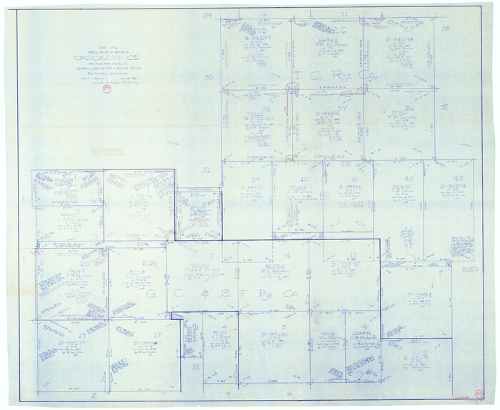
Crockett County Working Sketch 89

Print $20.00
- Digital $50.00
Crockett County Working Sketch 89
1978
Size 36.4 x 44.5 inches
Map/Doc 68422
Val Verde County Working Sketch 43


Print $20.00
- Digital $50.00
Val Verde County Working Sketch 43
1945
Size 39.3 x 37.2 inches
Map/Doc 72178
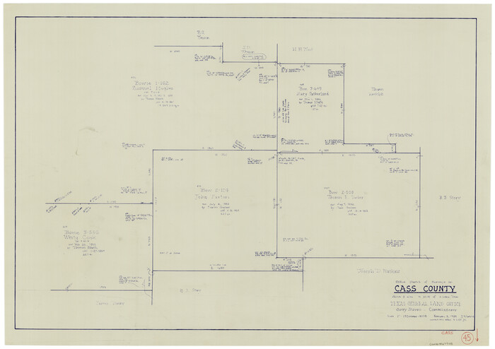
Cass County Working Sketch 45

Print $20.00
- Digital $50.00
Cass County Working Sketch 45
1989
Size 21.3 x 30.1 inches
Map/Doc 67948
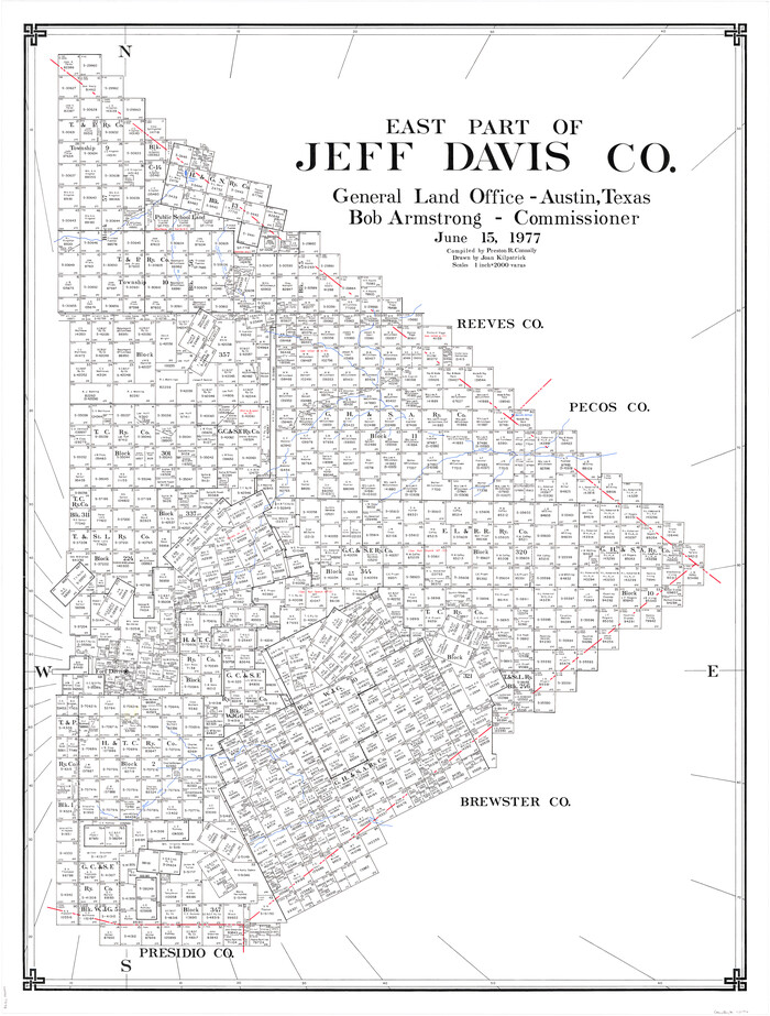
East Part of Jeff Davis Co.

Print $20.00
- Digital $50.00
East Part of Jeff Davis Co.
1977
Size 46.4 x 35.7 inches
Map/Doc 73194
Nolan County Sketch File B


Print $20.00
- Digital $50.00
Nolan County Sketch File B
1902
Size 12.0 x 21.5 inches
Map/Doc 42171
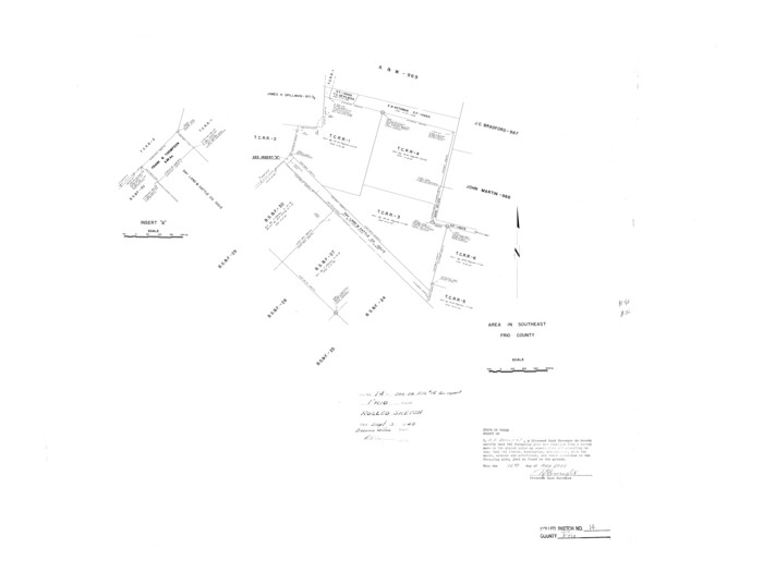
Frio County Rolled Sketch 14

Print $20.00
- Digital $50.00
Frio County Rolled Sketch 14
1949
Size 25.3 x 32.9 inches
Map/Doc 5921
Wheeler County Sketch File 1


Print $20.00
- Digital $50.00
Wheeler County Sketch File 1
Size 17.1 x 26.8 inches
Map/Doc 12672
Flight Mission No. BRA-16M, Frame 173, Jefferson County


Print $20.00
- Digital $50.00
Flight Mission No. BRA-16M, Frame 173, Jefferson County
1953
Size 18.5 x 22.2 inches
Map/Doc 85771
Flight Mission No. BRA-8M, Frame 122, Jefferson County


Print $20.00
- Digital $50.00
Flight Mission No. BRA-8M, Frame 122, Jefferson County
1953
Size 18.5 x 22.4 inches
Map/Doc 85618
[Sketch for Mineral Application 26543 - Sabine River, D. H. Sanford]
![65678, [Sketch for Mineral Application 26543 - Sabine River, D. H. Sanford], General Map Collection](https://historictexasmaps.com/wmedia_w700/maps/65678.tif.jpg)
![65678, [Sketch for Mineral Application 26543 - Sabine River, D. H. Sanford], General Map Collection](https://historictexasmaps.com/wmedia_w700/maps/65678.tif.jpg)
Print $40.00
- Digital $50.00
[Sketch for Mineral Application 26543 - Sabine River, D. H. Sanford]
1931
Size 73.0 x 30.3 inches
Map/Doc 65678
Bexar County Working Sketch 12
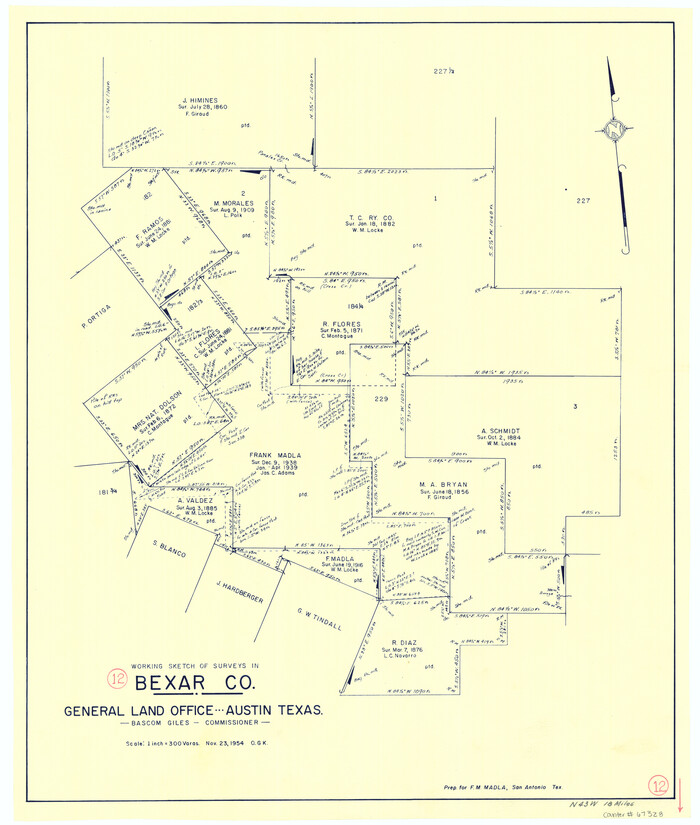

Print $20.00
- Digital $50.00
Bexar County Working Sketch 12
1954
Size 24.7 x 21.0 inches
Map/Doc 67328
You may also like
Current Miscellaneous File 105
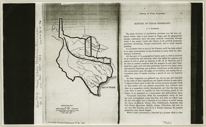

Print $18.00
- Digital $50.00
Current Miscellaneous File 105
Size 8.8 x 14.2 inches
Map/Doc 74680
Flight Mission No. DQO-1K, Frame 116, Galveston County
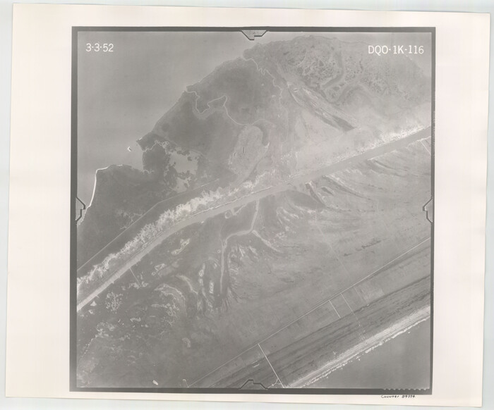

Print $20.00
- Digital $50.00
Flight Mission No. DQO-1K, Frame 116, Galveston County
1952
Size 18.8 x 22.6 inches
Map/Doc 84994
General Highway Map, Shackelford County, Texas


Print $20.00
General Highway Map, Shackelford County, Texas
1961
Size 18.1 x 24.8 inches
Map/Doc 79651
Map showing resurvey of Capitol Leagues, Oldham Co., Texas
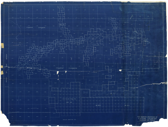

Print $40.00
- Digital $50.00
Map showing resurvey of Capitol Leagues, Oldham Co., Texas
1918
Size 38.6 x 51.0 inches
Map/Doc 1755
Llano County Rolled Sketch 2


Print $20.00
- Digital $50.00
Llano County Rolled Sketch 2
Size 18.2 x 27.3 inches
Map/Doc 9459
Bexar County Sketch File 59
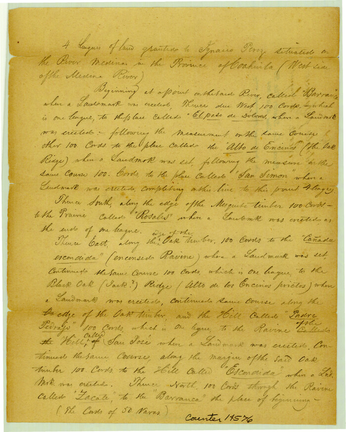

Print $4.00
- Digital $50.00
Bexar County Sketch File 59
Size 10.2 x 8.1 inches
Map/Doc 14576
Flight Mission No. DQN-3K, Frame 50, Calhoun County


Print $20.00
- Digital $50.00
Flight Mission No. DQN-3K, Frame 50, Calhoun County
1953
Size 18.4 x 22.2 inches
Map/Doc 84351
Travis County Sketch File 28


Print $40.00
- Digital $50.00
Travis County Sketch File 28
Size 17.5 x 12.2 inches
Map/Doc 38341
Val Verde County Rolled Sketch 60
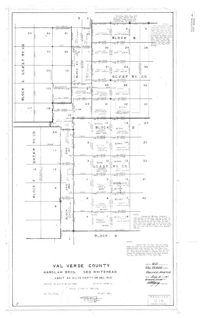

Print $20.00
- Digital $50.00
Val Verde County Rolled Sketch 60
1951
Size 32.4 x 20.4 inches
Map/Doc 8127
Webb County Rolled Sketch 71
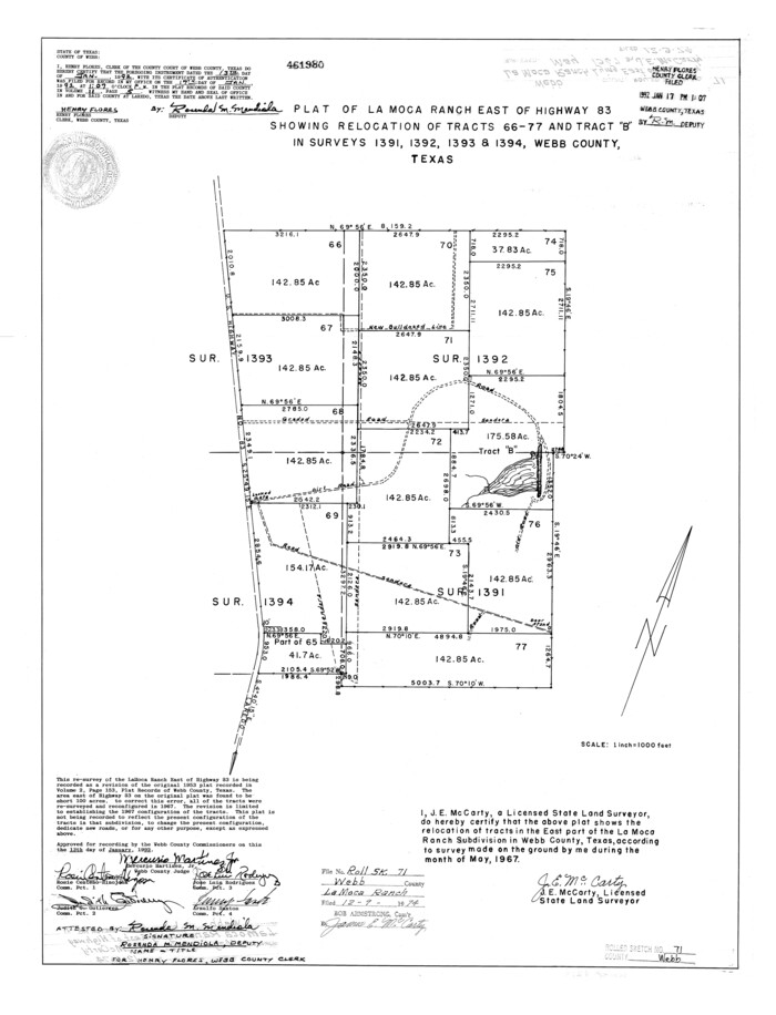

Print $20.00
- Digital $50.00
Webb County Rolled Sketch 71
Size 24.2 x 18.5 inches
Map/Doc 8218
Flight Mission No. DQN-2K, Frame 72, Calhoun County

Print $20.00
- Digital $50.00
Flight Mission No. DQN-2K, Frame 72, Calhoun County
1953
Size 18.6 x 22.3 inches
Map/Doc 84264
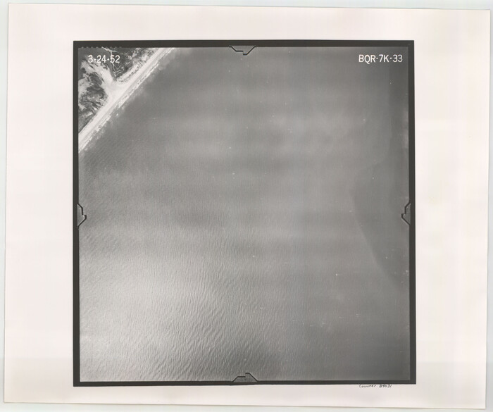
Flight Mission No. BQR-7K, Frame 33, Brazoria County

Print $20.00
- Digital $50.00
Flight Mission No. BQR-7K, Frame 33, Brazoria County
1952
Size 18.7 x 22.3 inches
Map/Doc 84031
![200, [Surveys in Austin's Colony near La Bahia Road], General Map Collection](https://historictexasmaps.com/wmedia_w1800h1800/maps/200.tif.jpg)
