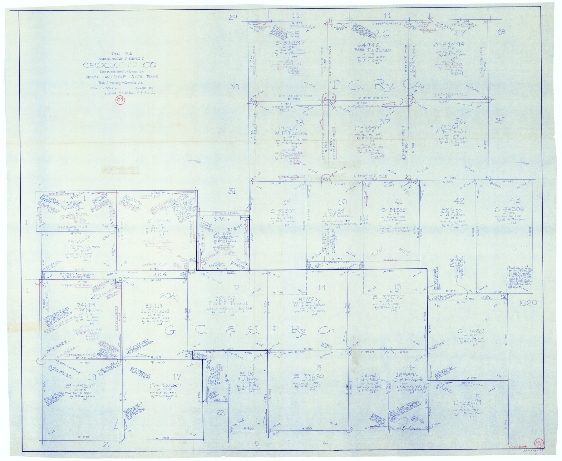
Crockett County Working Sketch 89
-
Map/Doc
68422
-
Collection
General Map Collection
-
Object Dates
10/6/1978 (Creation Date)
-
People and Organizations
Joan Kilpatrick (Draftsman)
-
Counties
Crockett
-
Subjects
Surveying Working Sketch
-
Height x Width
36.4 x 44.5 inches
92.5 x 113.0 cm
-
Scale
1" = 300 varas
Part of: General Map Collection
Crockett County Working Sketch 71

Print $20.00
- Digital $50.00
Crockett County Working Sketch 71
1963
Size 38.7 x 32.7 inches
Map/Doc 68404
Jasper County Sketch File 22

Print $4.00
- Digital $50.00
Jasper County Sketch File 22
1910
Size 8.8 x 7.7 inches
Map/Doc 27822
Engineer's Office, Department of the Gulf Map No. 59, Texas prepared by order of Maj. Gen. N. P. Banks under direction of Capt. P. C. Hains, U. S. Engr. & Chief Engr., Dept. of the Gulf

Print $20.00
- Digital $50.00
Engineer's Office, Department of the Gulf Map No. 59, Texas prepared by order of Maj. Gen. N. P. Banks under direction of Capt. P. C. Hains, U. S. Engr. & Chief Engr., Dept. of the Gulf
1865
Size 18.3 x 27.6 inches
Map/Doc 72717
Grayson County Working Sketch 25

Print $20.00
- Digital $50.00
Grayson County Working Sketch 25
1979
Size 34.8 x 35.0 inches
Map/Doc 63264
Nueces County Working Sketch 7

Print $40.00
- Digital $50.00
Nueces County Working Sketch 7
1972
Size 26.9 x 72.6 inches
Map/Doc 71309
Hydrographic Survey H-1288B Corpus Christi Pass

Print $40.00
- Digital $50.00
Hydrographic Survey H-1288B Corpus Christi Pass
1875
Size 31.8 x 52.5 inches
Map/Doc 2692
Flight Mission No. CLL-1N, Frame 19, Willacy County

Print $20.00
- Digital $50.00
Flight Mission No. CLL-1N, Frame 19, Willacy County
1954
Size 18.3 x 22.1 inches
Map/Doc 87006
Matagorda County Sketch File 16

Print $4.00
- Digital $50.00
Matagorda County Sketch File 16
Size 8.4 x 10.3 inches
Map/Doc 30780
Blanco County Working Sketch 19

Print $20.00
- Digital $50.00
Blanco County Working Sketch 19
1960
Size 24.4 x 29.2 inches
Map/Doc 67379
Gregg County Working Sketch 4

Print $20.00
- Digital $50.00
Gregg County Working Sketch 4
1931
Size 29.1 x 32.9 inches
Map/Doc 63270
Parmer County

Print $20.00
- Digital $50.00
Parmer County
1926
Size 39.8 x 31.6 inches
Map/Doc 77392
Map of Kimble County

Print $40.00
- Digital $50.00
Map of Kimble County
1890
Size 36.1 x 54.4 inches
Map/Doc 78436
You may also like
Working Sketch Compiled From Original Field Notes Showing Surveys in Reagan and Irion Counties

Print $20.00
- Digital $50.00
Working Sketch Compiled From Original Field Notes Showing Surveys in Reagan and Irion Counties
Size 36.2 x 20.2 inches
Map/Doc 92331
Andrews County Working Sketch 26

Print $20.00
- Digital $50.00
Andrews County Working Sketch 26
1983
Size 34.3 x 37.5 inches
Map/Doc 67072
Hardeman County Sketch File 19

Print $6.00
- Digital $50.00
Hardeman County Sketch File 19
Size 14.3 x 8.8 inches
Map/Doc 25030
![[San Benito Promotional Booklet]](https://historictexasmaps.com/wmedia_w700/pdf_converted_jpg/qi_pdf_thumbnail_64211.jpg)
San Patricio County NRC Article 33.136 Sketch 5

Print $20.00
- Digital $50.00
San Patricio County NRC Article 33.136 Sketch 5
2006
Size 36.0 x 24.0 inches
Map/Doc 94697
Rio Grande - North Extension Raymondville Sheet

Print $40.00
- Digital $50.00
Rio Grande - North Extension Raymondville Sheet
1937
Size 16.4 x 56.9 inches
Map/Doc 65104
The Mercer Colony. January 20, 1843

Print $20.00
The Mercer Colony. January 20, 1843
2020
Size 16.2 x 21.7 inches
Map/Doc 96360
[Map of Val Verde County]
![4110, [Map of Val Verde County], General Map Collection](https://historictexasmaps.com/wmedia_w700/maps/4110-1.tif.jpg)
Print $20.00
- Digital $50.00
[Map of Val Verde County]
1931
Size 36.4 x 24.1 inches
Map/Doc 4110
Burnet County Sketch File 20

Print $4.00
- Digital $50.00
Burnet County Sketch File 20
1862
Size 10.1 x 8.0 inches
Map/Doc 16712
Slaughter and Veal Lands, Howard and Borden Counties, Texas

Print $20.00
- Digital $50.00
Slaughter and Veal Lands, Howard and Borden Counties, Texas
Size 33.5 x 27.3 inches
Map/Doc 92544
King County Working Sketch 2

Print $20.00
- Digital $50.00
King County Working Sketch 2
1916
Size 13.6 x 13.9 inches
Map/Doc 70166
Flight Mission No. DCL-5C, Frame 27, Kenedy County

Print $20.00
- Digital $50.00
Flight Mission No. DCL-5C, Frame 27, Kenedy County
1943
Size 18.5 x 22.4 inches
Map/Doc 85839