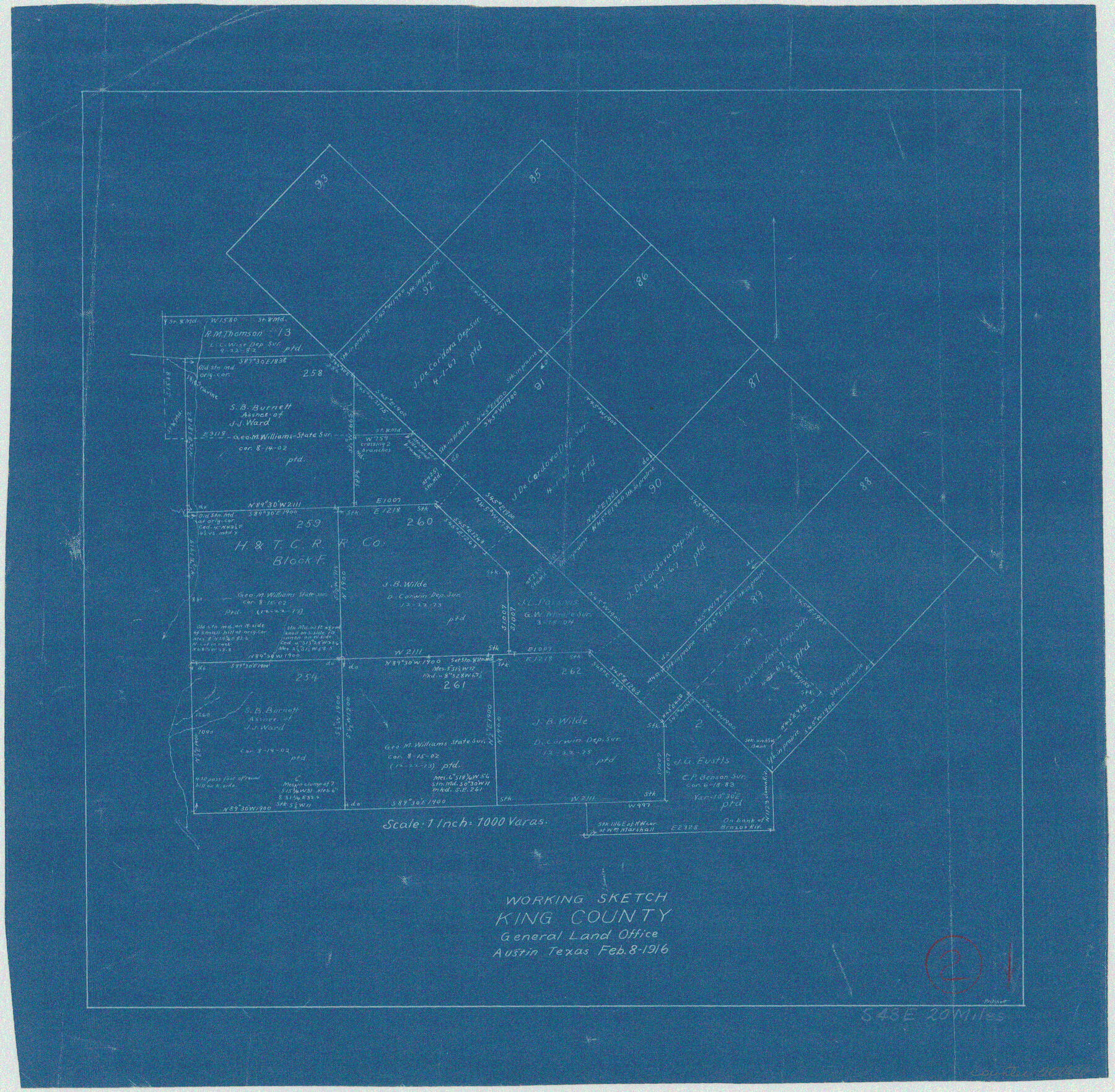
King County Working Sketch 2
-
Map/Doc
70166
-
Collection
General Map Collection
-
Object Dates
2/8/1916 (Creation Date)
-
People and Organizations
J.W. Pritchett (Draftsman)
-
Counties
King
-
Subjects
Surveying Working Sketch
-
Height x Width
13.6 x 13.9 inches
34.5 x 35.3 cm
-
Scale
1" = 1000 varas
Part of: General Map Collection
New Map of the State of Texas compiled from J. De Cordova's large map

Print $20.00
- Digital $50.00
New Map of the State of Texas compiled from J. De Cordova's large map
1855
Map/Doc 93943
Sketches of Surveys in Jefferson County

Print $2.00
- Digital $50.00
Sketches of Surveys in Jefferson County
1841
Size 7.5 x 7.0 inches
Map/Doc 326
Flight Mission No. BQY-4M, Frame 69, Harris County

Print $20.00
- Digital $50.00
Flight Mission No. BQY-4M, Frame 69, Harris County
1953
Size 18.6 x 22.4 inches
Map/Doc 85278
Wise County Working Sketch 20

Print $20.00
- Digital $50.00
Wise County Working Sketch 20
1979
Size 22.8 x 27.3 inches
Map/Doc 72634
Crockett County Sketch File 6

Print $20.00
- Digital $50.00
Crockett County Sketch File 6
1877
Size 22.2 x 17.2 inches
Map/Doc 3457
Map of Hale County

Print $40.00
- Digital $50.00
Map of Hale County
1900
Size 49.3 x 41.0 inches
Map/Doc 4691
Rains County Rolled Sketch 3

Print $40.00
- Digital $50.00
Rains County Rolled Sketch 3
1992
Size 56.2 x 38.4 inches
Map/Doc 8353
San Jacinto County Working Sketch 21

Print $20.00
- Digital $50.00
San Jacinto County Working Sketch 21
1939
Size 32.1 x 25.5 inches
Map/Doc 63734
Irion County Sketch File 7

Print $4.00
- Digital $50.00
Irion County Sketch File 7
1927
Size 11.1 x 7.1 inches
Map/Doc 27471
Wichita Falls, Wichita County, Texas

Print $20.00
- Digital $50.00
Wichita Falls, Wichita County, Texas
Size 32.0 x 22.6 inches
Map/Doc 96791
Township 1 South Range 12 West, South Western District, Louisiana

Print $20.00
- Digital $50.00
Township 1 South Range 12 West, South Western District, Louisiana
1884
Size 19.5 x 24.7 inches
Map/Doc 65880
Hardin County Sketch File 54

Print $20.00
- Digital $50.00
Hardin County Sketch File 54
1924
Size 16.6 x 17.9 inches
Map/Doc 11635
You may also like
[Surveys along the Red River and Capitol Lands]
![90738, [Surveys along the Red River and Capitol Lands], Twichell Survey Records](https://historictexasmaps.com/wmedia_w700/maps/90738-1.tif.jpg)
Print $20.00
- Digital $50.00
[Surveys along the Red River and Capitol Lands]
Size 24.8 x 39.7 inches
Map/Doc 90738
Map of the Globe showing its continents, islands, mountain ranges, table lands, plains and slopes

Print $20.00
- Digital $50.00
Map of the Globe showing its continents, islands, mountain ranges, table lands, plains and slopes
1885
Size 12.2 x 18.5 inches
Map/Doc 93532
Tarrant County

Print $40.00
- Digital $50.00
Tarrant County
1942
Size 48.6 x 37.8 inches
Map/Doc 73298
Greater Texas - the Lower Coast Country and the Lower Rio Grande Valley

Greater Texas - the Lower Coast Country and the Lower Rio Grande Valley
1910
Map/Doc 96726
Amistad International Reservoir on Rio Grande 98

Print $20.00
- Digital $50.00
Amistad International Reservoir on Rio Grande 98
1950
Size 28.5 x 40.9 inches
Map/Doc 75529
Gillespie County Rolled Sketch 2

Print $20.00
- Digital $50.00
Gillespie County Rolled Sketch 2
1977
Size 22.8 x 22.7 inches
Map/Doc 6009
Partial View of Austin, Texas

Print $20.00
Partial View of Austin, Texas
1895
Size 28.4 x 41.8 inches
Map/Doc 76205
Flight Mission No. CRE-1R, Frame 66, Jackson County

Print $20.00
- Digital $50.00
Flight Mission No. CRE-1R, Frame 66, Jackson County
1956
Size 16.2 x 16.1 inches
Map/Doc 85329
Lamar County Working Sketch 6

Print $20.00
- Digital $50.00
Lamar County Working Sketch 6
1964
Size 37.7 x 26.1 inches
Map/Doc 70267
Hardin County Working Sketch 20

Print $20.00
- Digital $50.00
Hardin County Working Sketch 20
1947
Size 38.1 x 32.6 inches
Map/Doc 63418
Franklin County Boundary File 2

Print $60.00
- Digital $50.00
Franklin County Boundary File 2
Size 26.1 x 13.2 inches
Map/Doc 53573
Parker County Sketch File 2

Print $4.00
- Digital $50.00
Parker County Sketch File 2
1856
Size 12.7 x 8.2 inches
Map/Doc 33519