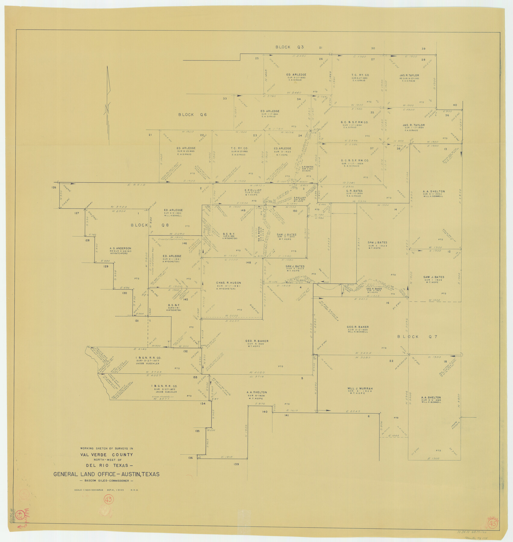
Val Verde County Working Sketch 43
-
Map/Doc
72178
-
Collection
General Map Collection
-
Object Dates
10/4/1945 (Creation Date)
-
People and Organizations
Herbert H. Ulbricht (Draftsman)
-
Counties
Val Verde
-
Subjects
Surveying Working Sketch
-
Height x Width
39.3 x 37.2 inches
99.8 x 94.5 cm
-
Scale
1" = 500 varas
Part of: General Map Collection
Terrell County Working Sketch 27

Print $20.00
- Digital $50.00
Terrell County Working Sketch 27
1944
Size 30.1 x 31.7 inches
Map/Doc 62177
Dickens County Sketch File 1

Print $20.00
- Digital $50.00
Dickens County Sketch File 1
1879
Size 18.2 x 15.5 inches
Map/Doc 11315
Surveys along the Leona River in the County of Bexar not yet connected with other surveys

Print $20.00
- Digital $50.00
Surveys along the Leona River in the County of Bexar not yet connected with other surveys
Size 21.8 x 28.7 inches
Map/Doc 70
Lamar County Working Sketch Graphic Index

Print $20.00
- Digital $50.00
Lamar County Working Sketch Graphic Index
1934
Size 47.9 x 37.5 inches
Map/Doc 76612
Dallas County Boundary File 4a

Print $60.00
- Digital $50.00
Dallas County Boundary File 4a
Size 14.0 x 8.4 inches
Map/Doc 52142
Stonewall County Working Sketch 4

Print $20.00
- Digital $50.00
Stonewall County Working Sketch 4
1919
Size 28.7 x 23.8 inches
Map/Doc 63998
Flight Mission No. DCL-7C, Frame 94, Kenedy County

Print $20.00
- Digital $50.00
Flight Mission No. DCL-7C, Frame 94, Kenedy County
1943
Size 15.4 x 15.1 inches
Map/Doc 86066
Coleman County Working Sketch 13

Print $20.00
- Digital $50.00
Coleman County Working Sketch 13
1952
Size 37.1 x 26.3 inches
Map/Doc 68079
Coleman County Sketch File 31

Print $20.00
- Digital $50.00
Coleman County Sketch File 31
Size 31.2 x 41.9 inches
Map/Doc 10339
Parker County Sketch File 18

Print $4.00
- Digital $50.00
Parker County Sketch File 18
1876
Size 8.9 x 6.3 inches
Map/Doc 33554
Gillespie County

Print $40.00
- Digital $50.00
Gillespie County
1945
Size 41.0 x 50.0 inches
Map/Doc 95507
Flight Mission No. BRE-1P, Frame 115, Nueces County

Print $20.00
- Digital $50.00
Flight Mission No. BRE-1P, Frame 115, Nueces County
1956
Size 18.4 x 22.2 inches
Map/Doc 86681
You may also like
Hays County Working Sketch 10

Print $20.00
- Digital $50.00
Hays County Working Sketch 10
1949
Size 23.4 x 25.8 inches
Map/Doc 66084
General Highway Map, Cameron County, Texas

Print $20.00
General Highway Map, Cameron County, Texas
1940
Size 18.5 x 25.3 inches
Map/Doc 79039
Flight Mission No. BRA-9M, Frame 60, Jefferson County

Print $20.00
- Digital $50.00
Flight Mission No. BRA-9M, Frame 60, Jefferson County
1953
Size 18.6 x 22.4 inches
Map/Doc 85643
Midland County Sketch File M

Print $20.00
- Digital $50.00
Midland County Sketch File M
Size 18.5 x 14.9 inches
Map/Doc 12090
Uvalde County Sketch File A

Print $40.00
- Digital $50.00
Uvalde County Sketch File A
1912
Size 23.0 x 18.0 inches
Map/Doc 12537
Val Verde County Working Sketch 37

Print $20.00
- Digital $50.00
Val Verde County Working Sketch 37
1943
Size 27.1 x 31.1 inches
Map/Doc 72172
[Sketch for Mineral Application 26543 - Sabine River, D. H. Sanford]
![65678, [Sketch for Mineral Application 26543 - Sabine River, D. H. Sanford], General Map Collection](https://historictexasmaps.com/wmedia_w700/maps/65678.tif.jpg)
Print $40.00
- Digital $50.00
[Sketch for Mineral Application 26543 - Sabine River, D. H. Sanford]
1931
Size 73.0 x 30.3 inches
Map/Doc 65678
General Highway Map, Crosby County, Texas

Print $20.00
General Highway Map, Crosby County, Texas
1961
Size 18.1 x 24.5 inches
Map/Doc 79426
Bandera County Working Sketch 19

Print $20.00
- Digital $50.00
Bandera County Working Sketch 19
1946
Size 43.3 x 35.8 inches
Map/Doc 67615
The railroad system of Texas on September 1st, 1883

Print $20.00
The railroad system of Texas on September 1st, 1883
1883
Size 20.1 x 26.8 inches
Map/Doc 93618
Map of Lee County, Texas

Print $20.00
- Digital $50.00
Map of Lee County, Texas
1879
Size 25.7 x 19.8 inches
Map/Doc 562
