Atlas V, 1-233: Vehlein's Colony
[Volume 1 of 2]
-
Map/Doc
94539
-
Collection
Historical Volumes
-
People and Organizations
Arthur Henrie (Surveyor/Engineer)
-
Subjects
Bound Volume Colony Mexican Texas
-
Medium
paper, bound volume
-
Comments
Plat book of surveys in Vehlein's Colony, part one of two. See 94540 for volume two.
Related maps
Part of: Historical Volumes
Transcribed English Field Notes from Austin's Colonies and Transcribed Spanish Titles from Robertson's Colony, 1825-1835


Transcribed English Field Notes from Austin's Colonies and Transcribed Spanish Titles from Robertson's Colony, 1825-1835
1825
Size 17.0 x 12.1 inches
Map/Doc 94532
English Field Notes of the Spanish Archives - Books GMP, FH, SCH, and JAV


English Field Notes of the Spanish Archives - Books GMP, FH, SCH, and JAV
1835
Map/Doc 96545
English Field Notes of the Spanish Archives - Books R & MC


English Field Notes of the Spanish Archives - Books R & MC
1835
Map/Doc 96552
Austin's Register of Families Vol. 2


Austin's Register of Families Vol. 2
Size 13.6 x 10.1 inches
Map/Doc 94250
English Field Notes of the Spanish Archives - Book D


English Field Notes of the Spanish Archives - Book D
1835
Map/Doc 96542
English Field Notes of the Spanish Archives - Book 11


English Field Notes of the Spanish Archives - Book 11
1832
Map/Doc 96537
Translations of Titles in Vol. 15, Spanish Archives


Translations of Titles in Vol. 15, Spanish Archives
1872
Map/Doc 94550
Wavel's [Wavell's] Register of Families
![94252, Wavel's [Wavell's] Register of Families, Historical Volumes](https://historictexasmaps.com/wmedia_w700/pdf_converted_jpg/qi_pdf_thumbnail_38893.jpg)
![94252, Wavel's [Wavell's] Register of Families, Historical Volumes](https://historictexasmaps.com/wmedia_w700/pdf_converted_jpg/qi_pdf_thumbnail_38893.jpg)
Wavel's [Wavell's] Register of Families
Size 13.2 x 9.2 inches
Map/Doc 94252
Political Chief of Nacogdoches to Secretary of the State Government (PCNSS)


Political Chief of Nacogdoches to Secretary of the State Government (PCNSS)
Size 12.7 x 9.5 inches
Map/Doc 94265
English Field Notes of the Spanish Archives - Book 8


English Field Notes of the Spanish Archives - Book 8
1835
Map/Doc 96534
Index to Titles, Field Notes, and Plats [in the Spanish Collection of the General Land Office]
![96676, Index to Titles, Field Notes, and Plats [in the Spanish Collection of the General Land Office], Historical Volumes](https://historictexasmaps.com/wmedia_w700/pdf_converted_jpg/qi_pdf_thumbnail_40663.jpg)
![96676, Index to Titles, Field Notes, and Plats [in the Spanish Collection of the General Land Office], Historical Volumes](https://historictexasmaps.com/wmedia_w700/pdf_converted_jpg/qi_pdf_thumbnail_40663.jpg)
Index to Titles, Field Notes, and Plats [in the Spanish Collection of the General Land Office]
Map/Doc 96676
You may also like
Map of Ramon Musquiz Survey, Meanders of Lavaca & Navidad Rivers, Menefee & Redfish Lakes

Print $20.00
- Digital $50.00
Map of Ramon Musquiz Survey, Meanders of Lavaca & Navidad Rivers, Menefee & Redfish Lakes
1934
Size 23.0 x 18.6 inches
Map/Doc 65456
Map of Burleson County


Print $20.00
- Digital $50.00
Map of Burleson County
1867
Size 19.1 x 30.0 inches
Map/Doc 4511
Brewster County Working Sketch 70

Print $20.00
- Digital $50.00
Brewster County Working Sketch 70
1961
Size 30.5 x 44.0 inches
Map/Doc 67671
Intracoastal Waterway in Texas - Corpus Christi to Point Isabel including Arroyo Colorado to Mo. Pac. R.R. Bridge Near Harlingen

Print $20.00
- Digital $50.00
Intracoastal Waterway in Texas - Corpus Christi to Point Isabel including Arroyo Colorado to Mo. Pac. R.R. Bridge Near Harlingen
1933
Size 28.1 x 41.0 inches
Map/Doc 61844
Goliad County Boundary File 33

Print $12.00
- Digital $50.00
Goliad County Boundary File 33
Size 9.4 x 4.2 inches
Map/Doc 53797
Harris County Boundary File 39 (15)
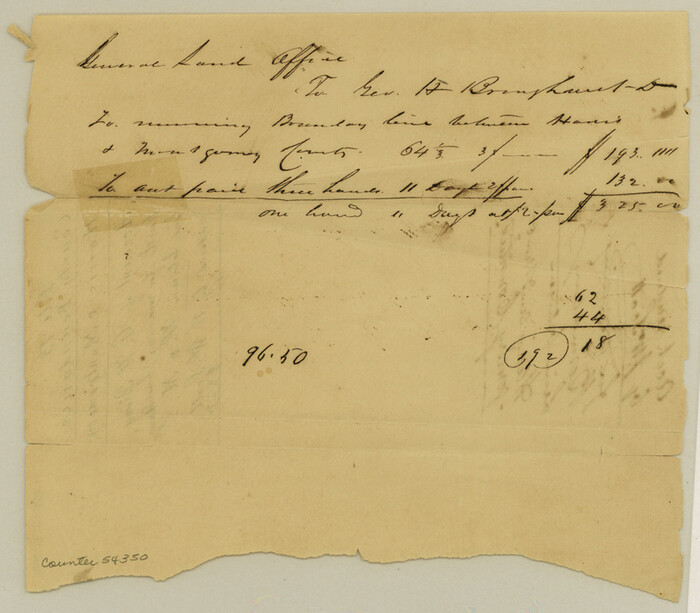

Print $8.00
- Digital $50.00
Harris County Boundary File 39 (15)
Size 7.2 x 8.3 inches
Map/Doc 54350
Freestone County Working Sketch 24
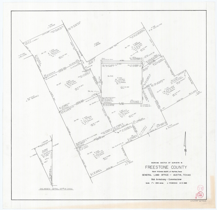

Print $20.00
- Digital $50.00
Freestone County Working Sketch 24
1982
Size 24.5 x 25.3 inches
Map/Doc 69266
Fisher County Working Sketch 9
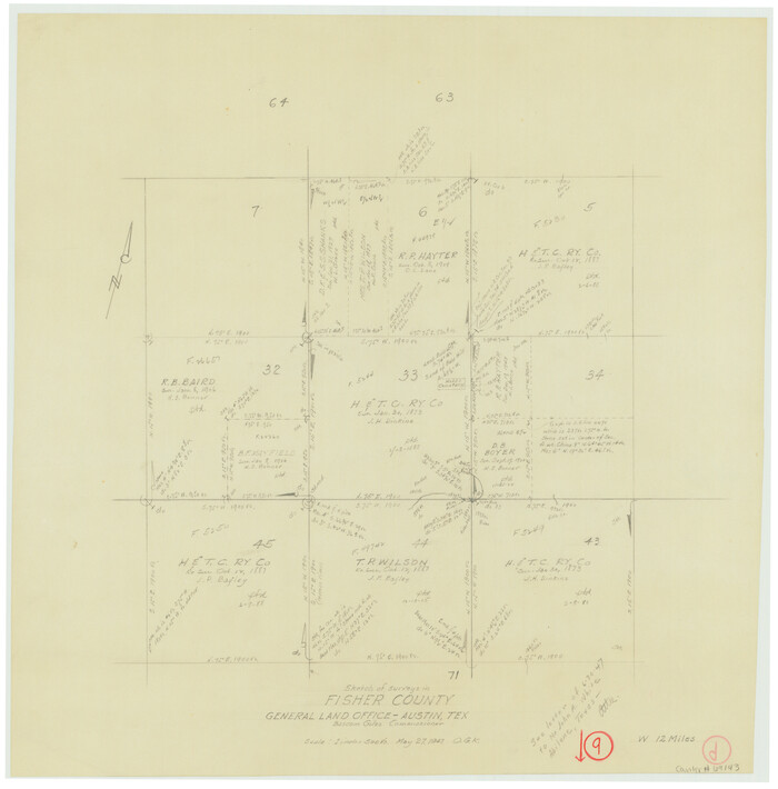

Print $20.00
- Digital $50.00
Fisher County Working Sketch 9
1947
Size 18.1 x 17.9 inches
Map/Doc 69143
Webb County Boundary File 8
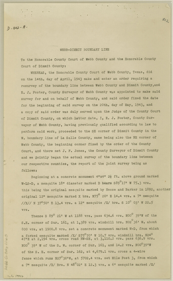

Print $113.00
- Digital $50.00
Webb County Boundary File 8
Size 14.3 x 8.8 inches
Map/Doc 59822
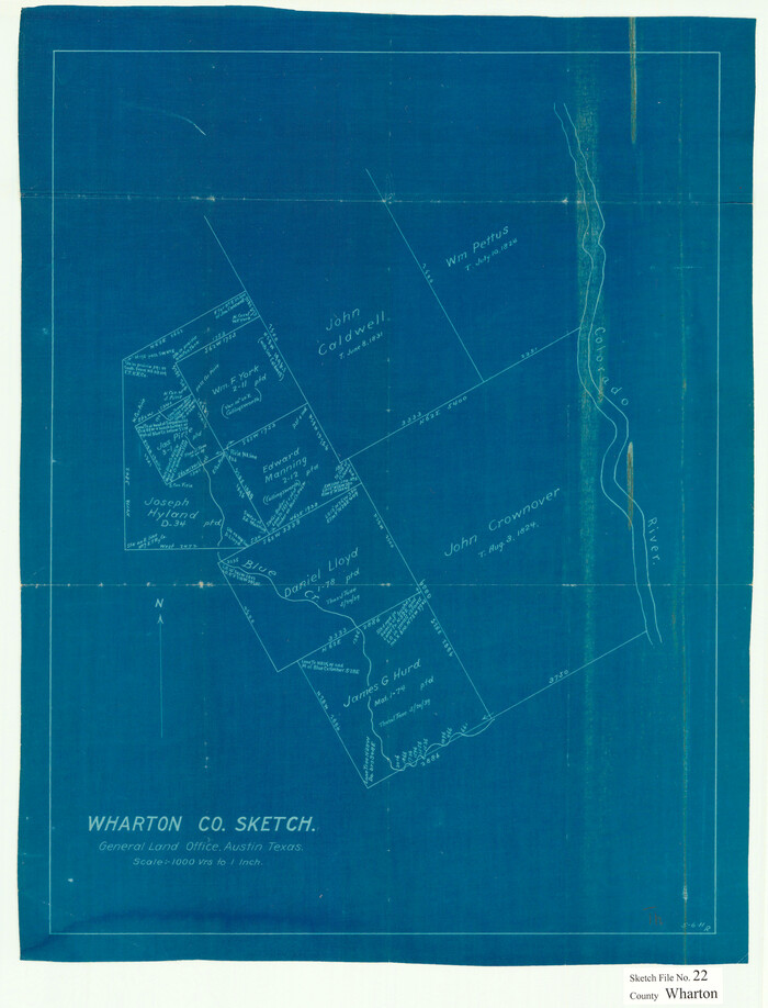
Wharton County Sketch File 22

Print $20.00
- Digital $50.00
Wharton County Sketch File 22
1911
Size 20.1 x 15.4 inches
Map/Doc 12666
Sterling County Sketch File A


Print $20.00
- Digital $50.00
Sterling County Sketch File A
1906
Size 18.2 x 26.0 inches
Map/Doc 12362
Flight Mission No. CUG-3P, Frame 169, Kleberg County


Print $20.00
- Digital $50.00
Flight Mission No. CUG-3P, Frame 169, Kleberg County
1956
Size 18.5 x 22.2 inches
Map/Doc 86289


