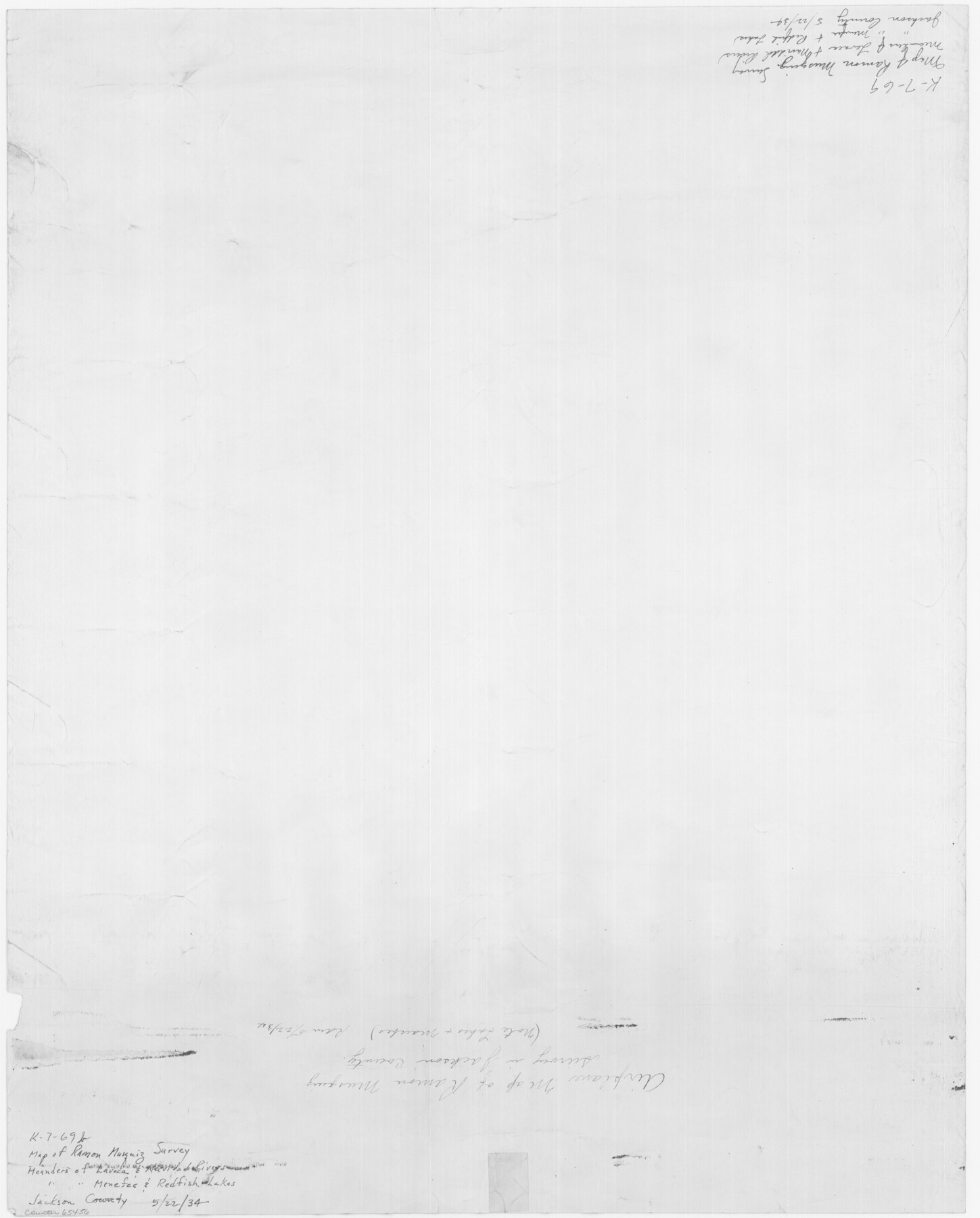
Map of Ramon Musquiz Survey, Meanders of Lavaca & Navidad Rivers, Menefee & Redfish Lakes
K-7-69 (a-b)
-
Map/Doc
65456
-
Collection
General Map Collection
-
Object Dates
1934/5/22 (Creation Date)
-
Counties
Jackson
-
Subjects
Aerial Photograph River Surveys Topographic
-
Height x Width
23.0 x 18.6 inches
58.4 x 47.2 cm
-
Comments
Also show meanders of the Navidad River and Red Fish Lake.
For reverse side, see counter no. 65454.
Part of: General Map Collection
Cooke County Sketch File 29

Print $16.00
- Digital $50.00
Cooke County Sketch File 29
1873
Size 8.2 x 11.0 inches
Map/Doc 19283
Lubbock County Sketch File 4 and A

Print $40.00
- Digital $50.00
Lubbock County Sketch File 4 and A
Size 22.7 x 29.8 inches
Map/Doc 12016
Jack County Sketch File 26

Print $4.00
- Digital $50.00
Jack County Sketch File 26
1891
Size 8.7 x 9.3 inches
Map/Doc 27563
Garza County Working Sketch 15

Print $20.00
- Digital $50.00
Garza County Working Sketch 15
1994
Size 32.2 x 26.9 inches
Map/Doc 63162
Jasper County Working Sketch 20

Print $20.00
- Digital $50.00
Jasper County Working Sketch 20
1940
Size 27.2 x 45.0 inches
Map/Doc 66482
[Sketch for Mineral Application 26649-26650 - Sabine River, Harry A. Wolan]
![65565, [Sketch for Mineral Application 26649-26650 - Sabine River, Harry A. Wolan], General Map Collection](https://historictexasmaps.com/wmedia_w700/maps/65565.tif.jpg)
Print $40.00
- Digital $50.00
[Sketch for Mineral Application 26649-26650 - Sabine River, Harry A. Wolan]
Size 36.8 x 71.9 inches
Map/Doc 65565
McMullen County Sketch File 22

Print $4.00
- Digital $50.00
McMullen County Sketch File 22
Size 10.0 x 8.1 inches
Map/Doc 31377
Webb County Rolled Sketch 11

Print $20.00
- Digital $50.00
Webb County Rolled Sketch 11
1911
Size 37.1 x 34.7 inches
Map/Doc 10118

Flight Mission No. BQR-13K, Frame 23, Brazoria County

Print $20.00
- Digital $50.00
Flight Mission No. BQR-13K, Frame 23, Brazoria County
1952
Size 18.9 x 22.4 inches
Map/Doc 84071
Flight Mission No. DQO-11K, Frame 21, Galveston County

Print $20.00
- Digital $50.00
Flight Mission No. DQO-11K, Frame 21, Galveston County
1952
Size 18.6 x 19.7 inches
Map/Doc 85218
Midland County Sketch File 18

Print $4.00
- Digital $50.00
Midland County Sketch File 18
Size 14.7 x 8.1 inches
Map/Doc 31585
You may also like
Flight Mission No. DQN-1K, Frame 122, Calhoun County

Print $20.00
- Digital $50.00
Flight Mission No. DQN-1K, Frame 122, Calhoun County
1953
Size 18.5 x 22.2 inches
Map/Doc 84188
McMullen County Working Sketch 15

Print $20.00
- Digital $50.00
McMullen County Working Sketch 15
1939
Size 18.4 x 27.5 inches
Map/Doc 70716
Flight Mission No. DIX-7P, Frame 24, Aransas County

Print $20.00
- Digital $50.00
Flight Mission No. DIX-7P, Frame 24, Aransas County
1956
Size 18.6 x 22.6 inches
Map/Doc 83876
General Highway Map, Smith County, Texas

Print $20.00
General Highway Map, Smith County, Texas
1961
Size 25.1 x 18.3 inches
Map/Doc 79654
Live Oak County Sketch File 16

Print $4.00
- Digital $50.00
Live Oak County Sketch File 16
Size 4.6 x 7.1 inches
Map/Doc 30282
Map of east part of West Bay & SW part of Galveston Bay, Galveston County showing subdivision for mineral development

Print $40.00
- Digital $50.00
Map of east part of West Bay & SW part of Galveston Bay, Galveston County showing subdivision for mineral development
Size 69.6 x 48.0 inches
Map/Doc 65804
Kleberg County Rolled Sketch 10-27

Print $20.00
- Digital $50.00
Kleberg County Rolled Sketch 10-27
1952
Size 37.9 x 40.1 inches
Map/Doc 9402
Brewster County Rolled Sketch 87

Print $40.00
- Digital $50.00
Brewster County Rolled Sketch 87
1947
Size 130.7 x 40.4 inches
Map/Doc 8497
Flight Mission No. CUG-3P, Frame 22, Kleberg County

Print $20.00
- Digital $50.00
Flight Mission No. CUG-3P, Frame 22, Kleberg County
1956
Size 18.5 x 22.1 inches
Map/Doc 86232
Hardeman County Boundary File 3b

Print $12.00
- Digital $50.00
Hardeman County Boundary File 3b
Size 14.1 x 8.7 inches
Map/Doc 54386
Flight Mission No. BRA-9M, Frame 78, Jefferson County

Print $20.00
- Digital $50.00
Flight Mission No. BRA-9M, Frame 78, Jefferson County
1953
Size 18.5 x 22.5 inches
Map/Doc 85661
Galveston County Working Sketch 3

Print $20.00
- Digital $50.00
Galveston County Working Sketch 3
1915
Size 21.4 x 19.5 inches
Map/Doc 69340