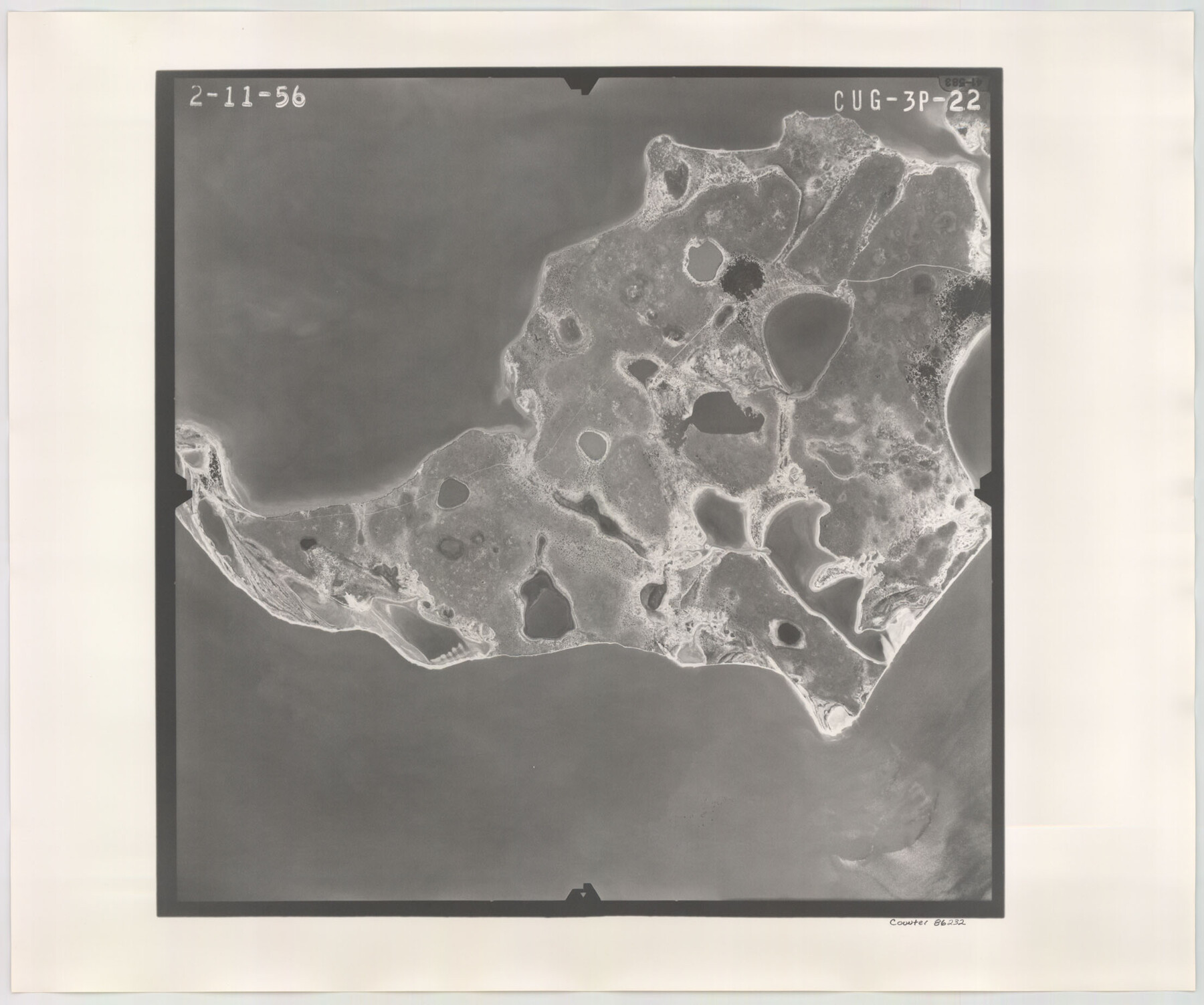
Flight Mission No. CUG-3P, Frame 22, Kleberg County
CUG-3P-22
-
Map/Doc
86232
-
Collection
General Map Collection
-
Object Dates
1956/2/11 (Creation Date)
-
People and Organizations
U. S. Department of Agriculture (Publisher)
-
Counties
Kleberg
-
Subjects
Aerial Photograph
-
Height x Width
18.5 x 22.1 inches
47.0 x 56.1 cm
-
Comments
Flown by V. L. Beavers and Associates of San Antonio, Texas.
Part of: General Map Collection
Brewster County Sketch File 42

Print $40.00
- Digital $50.00
Brewster County Sketch File 42
1914
Size 11.5 x 19.0 inches
Map/Doc 10981
Map of Runnels County

Print $20.00
- Digital $50.00
Map of Runnels County
1898
Size 44.7 x 39.5 inches
Map/Doc 63008
Mason County Working Sketch 15

Print $40.00
- Digital $50.00
Mason County Working Sketch 15
1976
Size 61.9 x 45.4 inches
Map/Doc 70851
Map of Fort Bend Co.

Print $20.00
- Digital $50.00
Map of Fort Bend Co.
1906
Size 38.4 x 43.8 inches
Map/Doc 87154
Terrell County Rolled Sketch 51A

Print $20.00
- Digital $50.00
Terrell County Rolled Sketch 51A
1957
Size 29.1 x 20.6 inches
Map/Doc 7968
Blanco County Sketch File 9

Print $4.00
- Digital $50.00
Blanco County Sketch File 9
Size 6.9 x 13.9 inches
Map/Doc 14586
Current Miscellaneous File 31

Print $8.00
- Digital $50.00
Current Miscellaneous File 31
1916
Size 11.2 x 8.7 inches
Map/Doc 73929
Flight Mission No. BQR-20K, Frame 6, Brazoria County

Print $20.00
- Digital $50.00
Flight Mission No. BQR-20K, Frame 6, Brazoria County
1952
Size 18.6 x 22.3 inches
Map/Doc 84108
Marion County Working Sketch 40

Print $20.00
- Digital $50.00
Marion County Working Sketch 40
1992
Size 42.9 x 30.0 inches
Map/Doc 70816

Flight Mission No. BRA-6M, Frame 82, Jefferson County

Print $20.00
- Digital $50.00
Flight Mission No. BRA-6M, Frame 82, Jefferson County
1953
Size 18.5 x 22.3 inches
Map/Doc 85426
Midland County Working Sketch 19a

Print $20.00
- Digital $50.00
Midland County Working Sketch 19a
Size 20.2 x 23.4 inches
Map/Doc 71000
You may also like
Dimmit County, Texas

Print $20.00
- Digital $50.00
Dimmit County, Texas
1879
Size 22.5 x 29.0 inches
Map/Doc 710
[T. & P. Block 35, Townships 4N and 5N]
![90629, [T. & P. Block 35, Townships 4N and 5N], Twichell Survey Records](https://historictexasmaps.com/wmedia_w700/maps/90629-1.tif.jpg)
Print $20.00
- Digital $50.00
[T. & P. Block 35, Townships 4N and 5N]
Size 26.3 x 34.7 inches
Map/Doc 90629

Site Development Study for the D. M. Cogdell Memorial Hospital Snyder, Texas

Print $20.00
- Digital $50.00
Site Development Study for the D. M. Cogdell Memorial Hospital Snyder, Texas
Size 24.1 x 26.8 inches
Map/Doc 92922
Sudan Cemetery Sudan, Texas

Print $20.00
- Digital $50.00
Sudan Cemetery Sudan, Texas
1925
Size 24.1 x 28.2 inches
Map/Doc 92403
Atascosa County Boundary File 6

Print $34.00
- Digital $50.00
Atascosa County Boundary File 6
Size 9.1 x 23.0 inches
Map/Doc 50205

Texas Prospectors and Historians Map

Digital $50.00
Texas Prospectors and Historians Map
Size 22.4 x 29.2 inches
Map/Doc 94411
Upton County Working Sketch Graphic Index, Sheet 1 (Sketches 1 to 39)

Print $40.00
- Digital $50.00
Upton County Working Sketch Graphic Index, Sheet 1 (Sketches 1 to 39)
1969
Size 49.9 x 37.0 inches
Map/Doc 76721
Harris County Sketch File 84

Print $20.00
- Digital $50.00
Harris County Sketch File 84
1950
Size 23.1 x 35.7 inches
Map/Doc 11672
El Paso County Boundary File 7

Print $14.00
- Digital $50.00
El Paso County Boundary File 7
Size 14.0 x 8.8 inches
Map/Doc 53087
Denton County

Print $20.00
- Digital $50.00
Denton County
1947
Size 40.7 x 37.2 inches
Map/Doc 77262