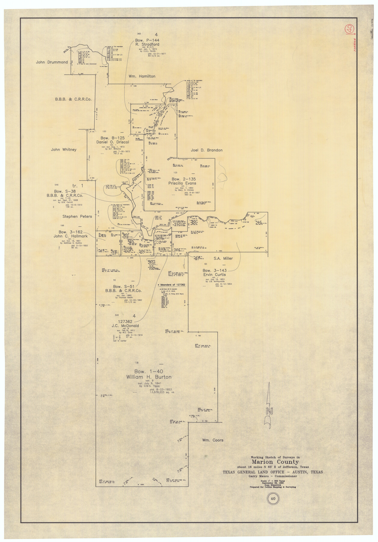
Marion County Working Sketch 40
-
Map/Doc
70816
-
Collection
General Map Collection
-
Object Dates
9/28/1992 (Creation Date)
-
People and Organizations
Joan Kilpatrick (Draftsman)
-
Counties
Marion
-
Subjects
Surveying Working Sketch
-
Height x Width
42.9 x 30.0 inches
109.0 x 76.2 cm
-
Scale
1" = 300 varas
Part of: General Map Collection
Uvalde County Working Sketch 56

Print $20.00
- Digital $50.00
Uvalde County Working Sketch 56
1985
Size 44.8 x 40.6 inches
Map/Doc 72126
Taylor County Sketch File 14

Print $6.00
- Digital $50.00
Taylor County Sketch File 14
1881
Size 12.9 x 8.5 inches
Map/Doc 37802
Flight Mission No. BRE-2P, Frame 41, Nueces County

Print $20.00
- Digital $50.00
Flight Mission No. BRE-2P, Frame 41, Nueces County
1956
Size 18.5 x 22.4 inches
Map/Doc 86743
Sabine County Working Sketch 10

Print $20.00
- Digital $50.00
Sabine County Working Sketch 10
1925
Size 18.6 x 24.2 inches
Map/Doc 63681
Edwards County Sketch File 21

Print $6.00
- Digital $50.00
Edwards County Sketch File 21
1889
Size 12.9 x 8.5 inches
Map/Doc 21740
Map of Ramsey State Farm, Brazoria County, Texas

Print $20.00
- Digital $50.00
Map of Ramsey State Farm, Brazoria County, Texas
Size 29.0 x 37.1 inches
Map/Doc 62997
Hartley County Sketch File 8

Print $20.00
- Digital $50.00
Hartley County Sketch File 8
Size 23.9 x 19.1 inches
Map/Doc 11699
Flight Mission No. CUG-2P, Frame 70, Kleberg County

Print $20.00
- Digital $50.00
Flight Mission No. CUG-2P, Frame 70, Kleberg County
1956
Size 18.7 x 22.4 inches
Map/Doc 86207
Palo Pinto County

Print $20.00
- Digital $50.00
Palo Pinto County
1941
Size 44.9 x 35.9 inches
Map/Doc 77389
Coryell County

Print $20.00
- Digital $50.00
Coryell County
1936
Size 46.8 x 43.4 inches
Map/Doc 1810
Fannin County Sketch File 3

Print $4.00
- Digital $50.00
Fannin County Sketch File 3
Size 9.3 x 8.3 inches
Map/Doc 22447
Cooke County Boundary File 1b

Print $28.00
- Digital $50.00
Cooke County Boundary File 1b
Size 12.6 x 7.4 inches
Map/Doc 51835
You may also like
Liberty County Sketch File 9

Print $8.00
- Digital $50.00
Liberty County Sketch File 9
1857
Size 8.0 x 8.1 inches
Map/Doc 29900
Dimmit County Working Sketch 37

Print $20.00
- Digital $50.00
Dimmit County Working Sketch 37
1962
Size 28.9 x 25.6 inches
Map/Doc 68698
Goliad County Working Sketch 4

Print $20.00
- Digital $50.00
Goliad County Working Sketch 4
1920
Size 30.5 x 30.0 inches
Map/Doc 63194
Kendall County Sketch File 26

Print $12.00
- Digital $50.00
Kendall County Sketch File 26
1950
Size 11.2 x 8.8 inches
Map/Doc 28725
Henderson County Working Sketch 39

Print $20.00
- Digital $50.00
Henderson County Working Sketch 39
1982
Size 24.3 x 19.0 inches
Map/Doc 66172
Flight Mission No. DQO-3K, Frame 23, Galveston County

Print $20.00
- Digital $50.00
Flight Mission No. DQO-3K, Frame 23, Galveston County
1952
Size 18.8 x 22.5 inches
Map/Doc 85064
Bandera County Working Sketch 6

Print $20.00
- Digital $50.00
Bandera County Working Sketch 6
1917
Size 14.2 x 14.3 inches
Map/Doc 67599
Flight Mission No. CGI-1N, Frame 138, Cameron County

Print $20.00
- Digital $50.00
Flight Mission No. CGI-1N, Frame 138, Cameron County
1955
Size 15.5 x 18.7 inches
Map/Doc 84494
Lavaca County Working Sketch 24

Print $20.00
- Digital $50.00
Lavaca County Working Sketch 24
1985
Size 29.5 x 35.7 inches
Map/Doc 70377
Palo Pinto County Sketch File 28

Print $8.00
- Digital $50.00
Palo Pinto County Sketch File 28
1875
Size 11.3 x 8.6 inches
Map/Doc 33437
Map of South Pacific Rail Road Co. of Missouri.

Print $20.00
Map of South Pacific Rail Road Co. of Missouri.
1870
Size 13.4 x 15.7 inches
Map/Doc 93613
Martin County

Print $20.00
- Digital $50.00
Martin County
1933
Size 43.8 x 38.9 inches
Map/Doc 73230