[Surveys in Austin's Colony along the San Antonio Road and the Colorado River]
Atlas D, Sketch 32 (D-32)
D-32
-
Map/Doc
15
-
Collection
General Map Collection
-
Object Dates
[1821-1836] (Creation Date)
-
People and Organizations
[Thomas Borden] (Surveyor/Engineer)
-
Counties
Bastrop
-
Subjects
Atlas Colony
-
Height x Width
17.3 x 25.6 inches
43.9 x 65.0 cm
-
Medium
paper, manuscript
-
Comments
Conserved in 2003.
-
Features
Colorado River
San Antonio Road
Part of: General Map Collection
La Salle County Sketch File 23


Print $40.00
- Digital $50.00
La Salle County Sketch File 23
Size 14.2 x 17.3 inches
Map/Doc 29530
Packery Channel

Print $20.00
- Digital $50.00
Packery Channel
1937
Size 23.8 x 22.4 inches
Map/Doc 3008
Cottle County Sketch File 11


Print $40.00
- Digital $50.00
Cottle County Sketch File 11
Size 12.9 x 13.3 inches
Map/Doc 19489
Flight Mission No. DAG-28K, Frame 32, Matagorda County

Print $20.00
- Digital $50.00
Flight Mission No. DAG-28K, Frame 32, Matagorda County
1953
Size 16.2 x 16.0 inches
Map/Doc 86600
San Jacinto County Rolled Sketch 14


Print $20.00
- Digital $50.00
San Jacinto County Rolled Sketch 14
1998
Size 28.0 x 40.0 inches
Map/Doc 7565
Montgomery County Working Sketch 21


Print $20.00
- Digital $50.00
Montgomery County Working Sketch 21
1936
Size 16.4 x 37.0 inches
Map/Doc 71128
Florida called by ye French Louisiana & c.

Print $20.00
- Digital $50.00
Florida called by ye French Louisiana & c.
1728
Size 9.6 x 14.3 inches
Map/Doc 94110
Map of Menard County
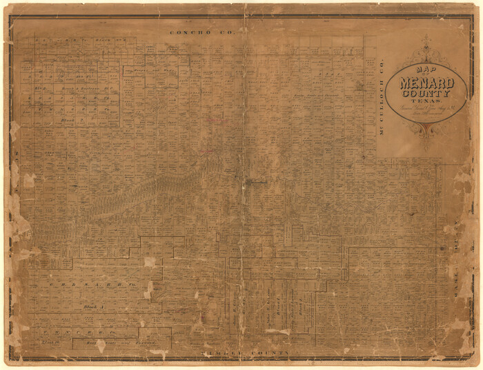

Print $20.00
- Digital $50.00
Map of Menard County
1894
Size 32.1 x 41.8 inches
Map/Doc 1320
Dickens County Rolled Sketch J
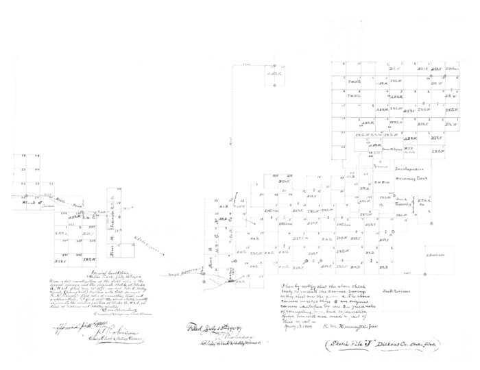

Print $20.00
- Digital $50.00
Dickens County Rolled Sketch J
1904
Size 25.4 x 32.9 inches
Map/Doc 8781
Kimble County Working Sketch 93
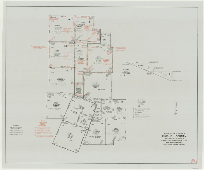

Print $20.00
- Digital $50.00
Kimble County Working Sketch 93
1983
Size 31.5 x 37.8 inches
Map/Doc 70161
You may also like
Harbor of Brazos Santiago, Texas


Print $20.00
- Digital $50.00
Harbor of Brazos Santiago, Texas
1887
Size 27.0 x 18.3 inches
Map/Doc 72993
Flight Mission No. DCL-4C, Frame 67, Kenedy County
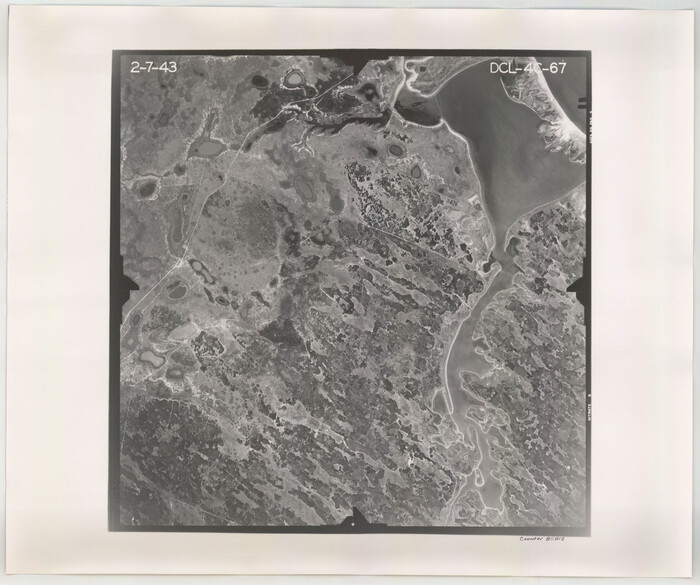

Print $20.00
- Digital $50.00
Flight Mission No. DCL-4C, Frame 67, Kenedy County
1943
Size 18.7 x 22.3 inches
Map/Doc 85812
Flight Mission No. DIX-5P, Frame 150, Aransas County


Print $20.00
- Digital $50.00
Flight Mission No. DIX-5P, Frame 150, Aransas County
1956
Size 17.8 x 18.3 inches
Map/Doc 83812
Map of Marion County
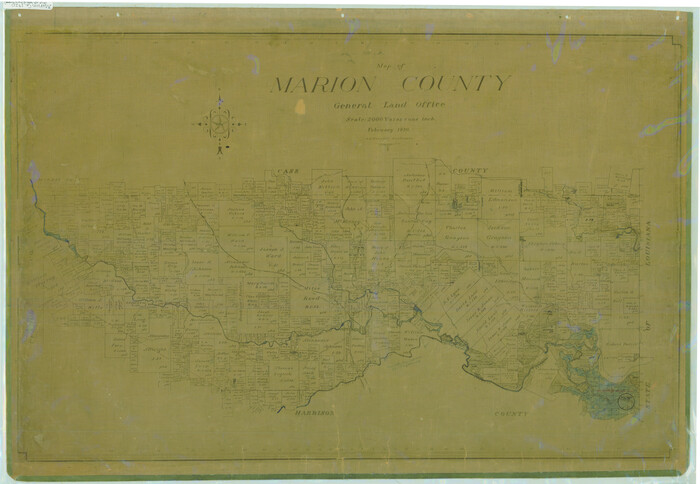

Print $20.00
- Digital $50.00
Map of Marion County
1920
Size 29.2 x 42.2 inches
Map/Doc 78405
Flight Mission No. DAG-19K, Frame 63, Matagorda County
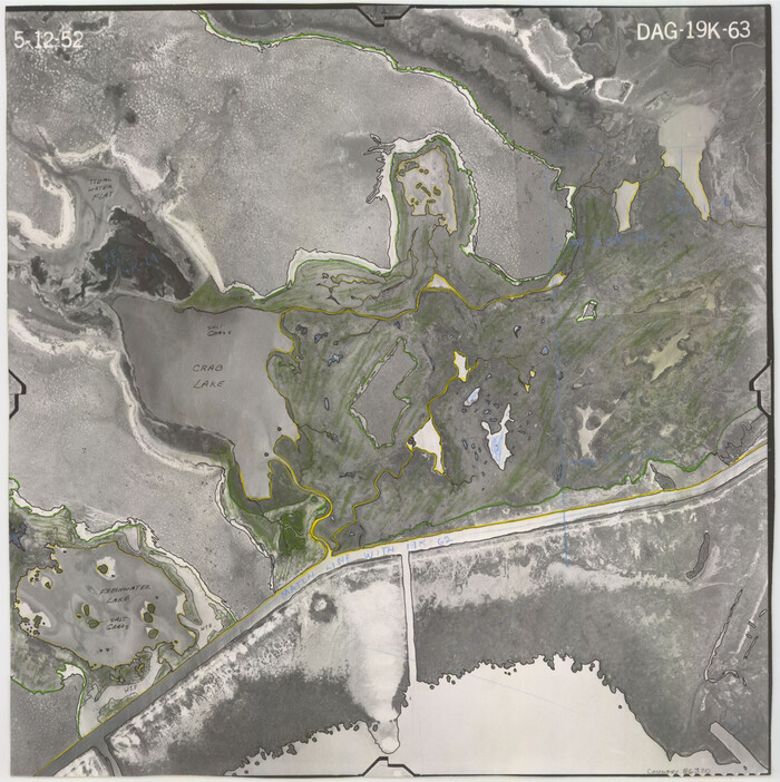

Print $20.00
- Digital $50.00
Flight Mission No. DAG-19K, Frame 63, Matagorda County
1952
Size 16.1 x 16.1 inches
Map/Doc 86390
Mills County Boundary File 3
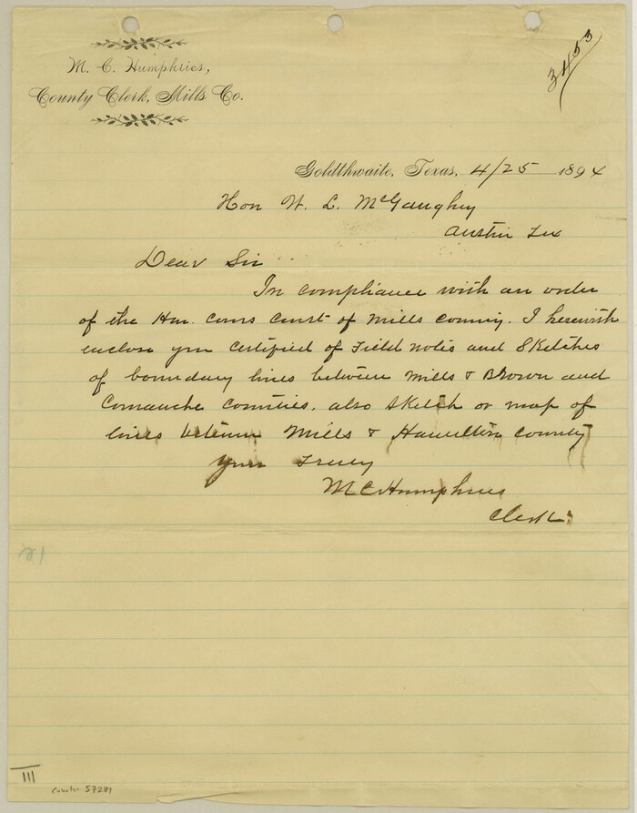

Print $30.00
- Digital $50.00
Mills County Boundary File 3
Size 11.0 x 8.6 inches
Map/Doc 57281
Milam County Boundary File 5b
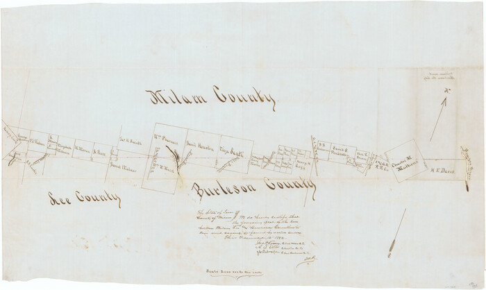

Print $20.00
- Digital $50.00
Milam County Boundary File 5b
Size 22.6 x 37.8 inches
Map/Doc 57239
Goliad County Working Sketch 25


Print $20.00
- Digital $50.00
Goliad County Working Sketch 25
1994
Size 19.6 x 21.9 inches
Map/Doc 63215
El Paso County Working Sketch 51
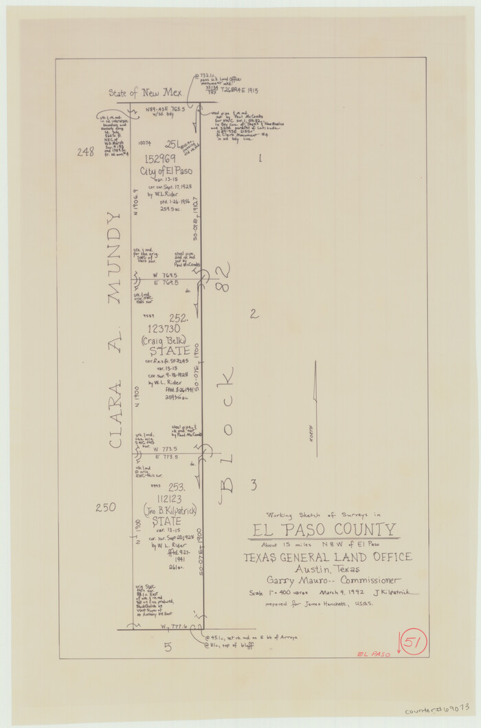

Print $20.00
- Digital $50.00
El Paso County Working Sketch 51
1992
Size 19.7 x 13.0 inches
Map/Doc 69073
DeWitt County Sketch File 13


Print $8.00
- Digital $50.00
DeWitt County Sketch File 13
1845
Size 12.8 x 8.2 inches
Map/Doc 20824
[T. & P. Blocks 33 and 34, Township 5N]
![90553, [T. & P. Blocks 33 and 34, Township 5N], Twichell Survey Records](https://historictexasmaps.com/wmedia_w700/maps/90553-1.tif.jpg)
![90553, [T. & P. Blocks 33 and 34, Township 5N], Twichell Survey Records](https://historictexasmaps.com/wmedia_w700/maps/90553-1.tif.jpg)
Print $20.00
- Digital $50.00
[T. & P. Blocks 33 and 34, Township 5N]
Size 17.4 x 12.0 inches
Map/Doc 90553
Health Wealth and Happiness in the Texas Panhandle


Health Wealth and Happiness in the Texas Panhandle
1906
Map/Doc 96753
![15, [Surveys in Austin's Colony along the San Antonio Road and the Colorado River], General Map Collection](https://historictexasmaps.com/wmedia_w1800h1800/maps/15.tif.jpg)

