82 results

Map of Collin County
1084-GC.tif
Print $20.00 - Digital $50.00

Map of Collin County

1862

Size: 24.4 x 20.5 inches
1084
Collin County Sketch File 3
11126, Collin County Sketch File 3, General Map Collection
Print $20.00 - Digital $50.00

Collin County Sketch File 3

1852

Size: 19.5 x 21.4 inches
11126
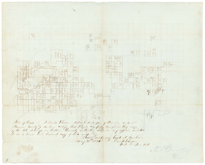
Collin County Sketch File 12
Print $40.00 - Digital $50.00

Collin County Sketch File 12

1851

Size: 24.3 x 31.3 inches
11127
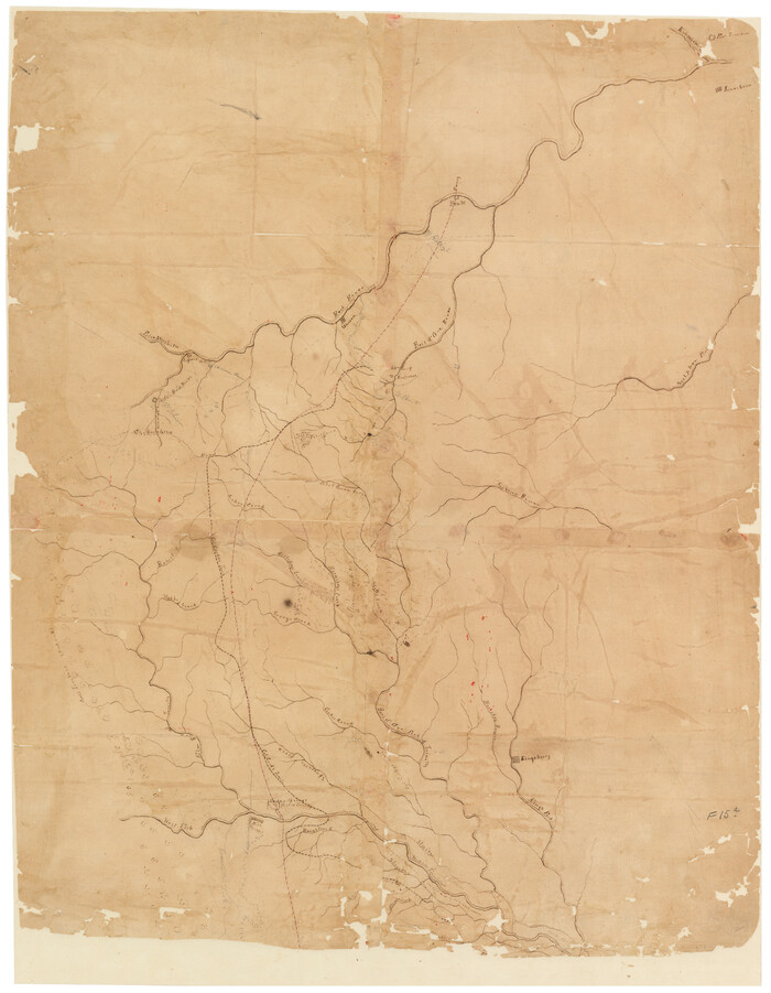
[Sketch of Col. Cooke's Military Road expedition from Red River to Austin]
166.tif
Print $20.00 - Digital $50.00

[Sketch of Col. Cooke's Military Road expedition from Red River to Austin]

Size: 29.4 x 22.9 inches
166
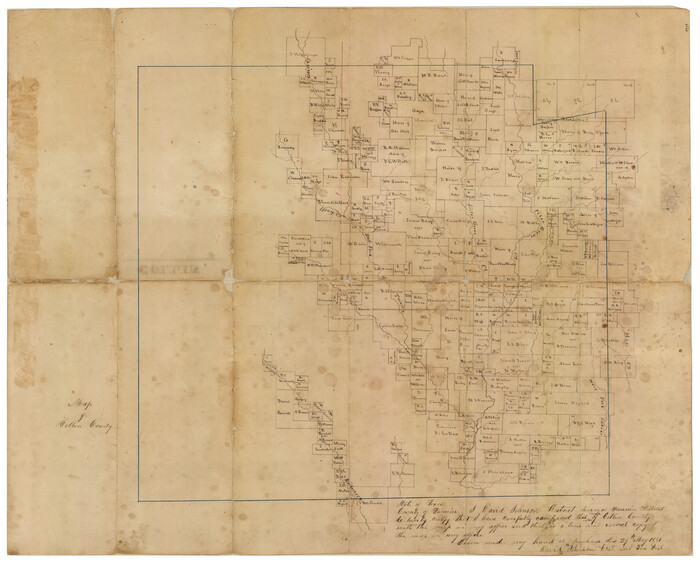
Map of Fannin County
16827.tif
Print $20.00 - Digital $50.00

Map of Fannin County

1845

Size: 34.7 x 36.5 inches
16827
University and College Lands
169.tif
Print $20.00 - Digital $50.00

University and College Lands

1841

Size: 21.3 x 27.0 inches
169
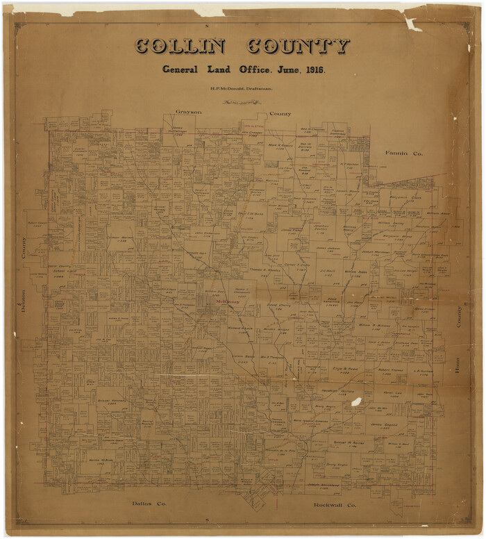
Collin County
1804-GC.tif
Print $20.00 - Digital $50.00

Collin County

1916

Size: 42.6 x 38.6 inches
1804
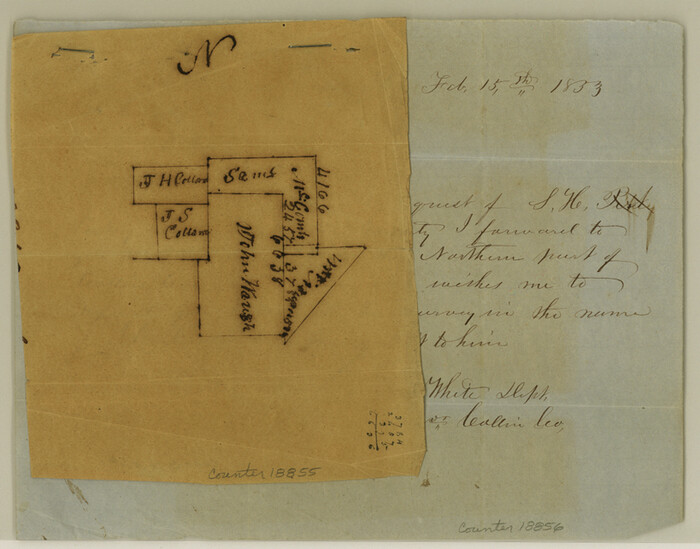
Collin County Sketch File 1
18855, Collin County Sketch File 1, General Map Collection
Print $6.00 - Digital $50.00

Collin County Sketch File 1

1853

Size: 6.4 x 8.2 inches
18855
Collin County Sketch File 2
18858, Collin County Sketch File 2, General Map Collection
Print $8.00 - Digital $50.00

Collin County Sketch File 2

1848

Size: 10.0 x 8.0 inches
18858
Collin County Sketch File 4
18862, Collin County Sketch File 4, General Map Collection
Print $4.00 - Digital $50.00

Collin County Sketch File 4

1856

Size: 10.0 x 8.0 inches
18862
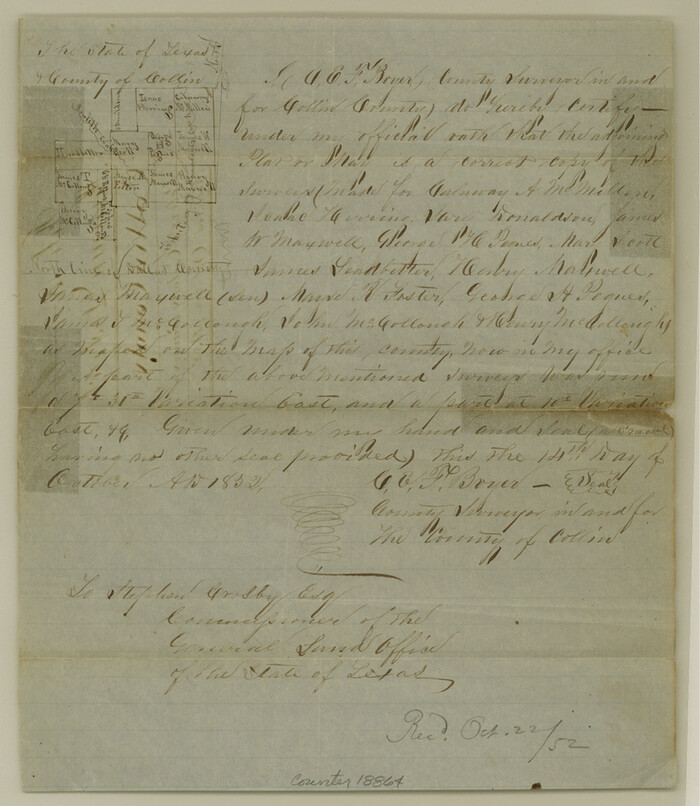
Collin County Sketch File 5
18864, Collin County Sketch File 5, General Map Collection
Print $4.00 - Digital $50.00

Collin County Sketch File 5

1852

Size: 9.7 x 8.5 inches
18864
Collin County Sketch File 7
18866, Collin County Sketch File 7, General Map Collection
Print $40.00 - Digital $50.00

Collin County Sketch File 7

1852

Size: 17.3 x 14.0 inches
18866
Collin County Sketch File 8
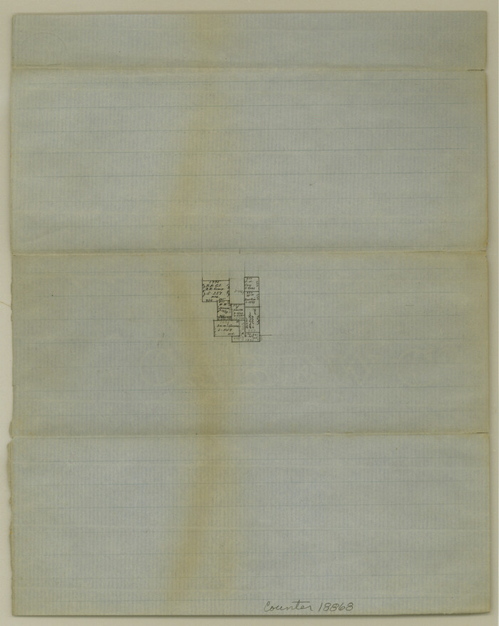
18868, Collin County Sketch File 8, General Map Collection
Print $4.00 - Digital $50.00

Collin County Sketch File 8

1859

Size: 10.2 x 8.1 inches
18868
Collin County Sketch File 9
18870, Collin County Sketch File 9, General Map Collection
Print $4.00 - Digital $50.00

Collin County Sketch File 9

1878

Size: 8.3 x 10.1 inches
18870
Collin County Sketch File 13
18872, Collin County Sketch File 13, General Map Collection
Print $4.00 - Digital $50.00

Collin County Sketch File 13

1874

Size: 8.8 x 6.8 inches
18872
Collin County Sketch File 14
18874, Collin County Sketch File 14, General Map Collection
Print $12.00 - Digital $50.00

Collin County Sketch File 14

1953

Size: 11.2 x 8.7 inches
18874
Collin County Sketch File 15
18880, Collin County Sketch File 15, General Map Collection
Print $4.00 - Digital $50.00

Collin County Sketch File 15

1873

Size: 10.0 x 8.0 inches
18880
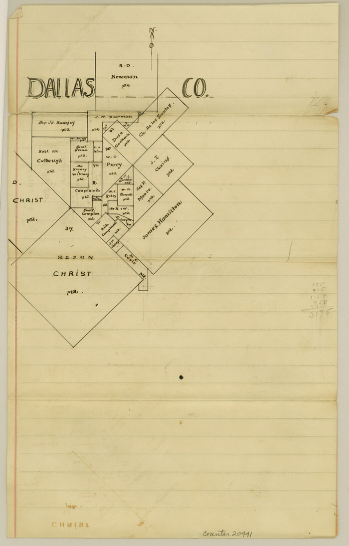
Dallas County Sketch File 20
20441, Dallas County Sketch File 20, General Map Collection
Print $4.00 - Digital $50.00

Dallas County Sketch File 20

Size: 12.2 x 7.8 inches
20441
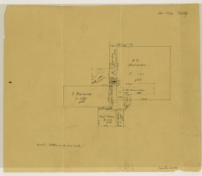
Dallas County Sketch File 22
20454, Dallas County Sketch File 22, General Map Collection
Print $6.00 - Digital $50.00

Dallas County Sketch File 22

1891

Size: 9.5 x 10.9 inches
20454
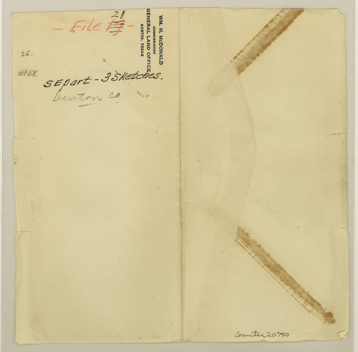
Denton County Sketch File 21
20740, Denton County Sketch File 21, General Map Collection
Print $12.00 - Digital $50.00

Denton County Sketch File 21

1866

Size: 8.7 x 8.8 inches
20740
Fannin County Sketch File 7
22451, Fannin County Sketch File 7, General Map Collection
Print $40.00 - Digital $50.00

Fannin County Sketch File 7

1857

Size: 16.8 x 13.5 inches
22451
Map of University Land part of Fifty League Grant Act of 1839
2430.tif
Print $20.00 - Digital $50.00

Map of University Land part of Fifty League Grant Act of 1839

1905

Size: 40.7 x 28.7 inches
2430
Grayson County Sketch File 10
24474, Grayson County Sketch File 10, General Map Collection
Print $4.00 - Digital $50.00

Grayson County Sketch File 10

1851

Size: 12.1 x 7.9 inches
24474
Map of The Surveyed Part of Peters Colony Texas
3155-1.tif
Print $40.00 - Digital $50.00

Map of The Surveyed Part of Peters Colony Texas

1852

Size: 54.0 x 28.8 inches
3155
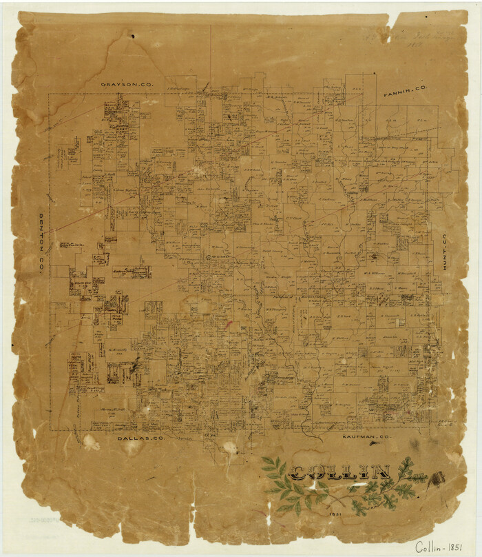
Collin
3416-GC.tif
Print $20.00 - Digital $50.00

Collin

1851

Size: 22.0 x 19.0 inches
3416
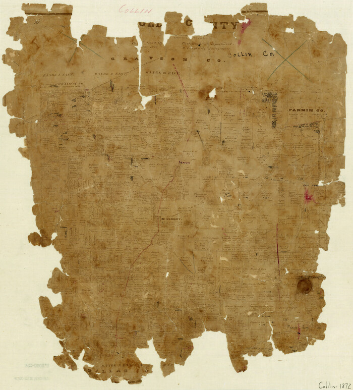
Collin County
3418.tif
Print $20.00 - Digital $50.00

Collin County

1872

Size: 20.1 x 18.5 inches
3418
Rockwall County Sketch File 6
35425, Rockwall County Sketch File 6, General Map Collection
Print $4.00 - Digital $50.00

Rockwall County Sketch File 6

1862

Size: 8.5 x 9.4 inches
35425
Map of Collin County
4519.tif
Print $20.00 - Digital $50.00

Map of Collin County

1850

Size: 18.1 x 22.5 inches
4519
Collin County
4740-1.tif
Print $20.00 - Digital $50.00

Collin County

1916

Size: 41.8 x 37.3 inches
4740
Map of the Lands Surveyed by the Memphis, El Paso & Pacific R.R. Company
4846.tif
Print $20.00 - Digital $50.00

Map of the Lands Surveyed by the Memphis, El Paso & Pacific R.R. Company

1860

Size: 18.6 x 19.0 inches
4846
Map of Collin County
1084, Map of Collin County, General Map Collection
Print $20.00 - Digital $50.00

Map of Collin County

1862

  • Size

    24.4 x 20.5 inches

  • Map/Doc

    1084

  • Creation Date

    1862

Collin County Sketch File 3
11126, Collin County Sketch File 3, General Map Collection
Print $20.00 - Digital $50.00

Collin County Sketch File 3

1852

  • Size

    19.5 x 21.4 inches

  • Map/Doc

    11126

  • Creation Date

    1852

Collin County Sketch File 12
Print $40.00 - Digital $50.00

Collin County Sketch File 12

1851

  • Size

    24.3 x 31.3 inches

  • Map/Doc

    11127

  • Creation Date

    1851

[Sketch of Col. Cooke's Military Road expedition from Red River to Austin]
166, [Sketch of Col. Cooke's Military Road expedition from Red River to Austin], General Map Collection
Print $20.00 - Digital $50.00

[Sketch of Col. Cooke's Military Road expedition from Red River to Austin]

  • Size

    29.4 x 22.9 inches

  • Map/Doc

    166

Map of Fannin County
16827, Map of Fannin County, General Map Collection
Print $20.00 - Digital $50.00

Map of Fannin County

1845

  • Size

    34.7 x 36.5 inches

  • Map/Doc

    16827

  • Creation Date

    1845

University and College Lands
169, University and College Lands, General Map Collection
Print $20.00 - Digital $50.00

University and College Lands

1841

  • Size

    21.3 x 27.0 inches

  • Map/Doc

    169

  • Creation Date

    1841

Collin County
1804, Collin County, General Map Collection
Print $20.00 - Digital $50.00

Collin County

1916

  • Size

    42.6 x 38.6 inches

  • Map/Doc

    1804

  • Creation Date

    1916

Collin County Sketch File 1
18855, Collin County Sketch File 1, General Map Collection
Print $6.00 - Digital $50.00

Collin County Sketch File 1

1853

  • Size

    6.4 x 8.2 inches

  • Map/Doc

    18855

  • Creation Date

    1853

Collin County Sketch File 2
18858, Collin County Sketch File 2, General Map Collection
Print $8.00 - Digital $50.00

Collin County Sketch File 2

1848

  • Size

    10.0 x 8.0 inches

  • Map/Doc

    18858

  • Creation Date

    1848

Collin County Sketch File 4
18862, Collin County Sketch File 4, General Map Collection
Print $4.00 - Digital $50.00

Collin County Sketch File 4

1856

  • Size

    10.0 x 8.0 inches

  • Map/Doc

    18862

  • Creation Date

    1856

Collin County Sketch File 5
18864, Collin County Sketch File 5, General Map Collection
Print $4.00 - Digital $50.00

Collin County Sketch File 5

1852

  • Size

    9.7 x 8.5 inches

  • Map/Doc

    18864

  • Creation Date

    1852

Collin County Sketch File 7
18866, Collin County Sketch File 7, General Map Collection
Print $40.00 - Digital $50.00

Collin County Sketch File 7

1852

  • Size

    17.3 x 14.0 inches

  • Map/Doc

    18866

  • Creation Date

    1852

Collin County Sketch File 8
18868, Collin County Sketch File 8, General Map Collection
Print $4.00 - Digital $50.00

Collin County Sketch File 8

1859

  • Size

    10.2 x 8.1 inches

  • Map/Doc

    18868

  • Creation Date

    1859

Collin County Sketch File 9
18870, Collin County Sketch File 9, General Map Collection
Print $4.00 - Digital $50.00

Collin County Sketch File 9

1878

  • Size

    8.3 x 10.1 inches

  • Map/Doc

    18870

  • Creation Date

    1878

Collin County Sketch File 13
18872, Collin County Sketch File 13, General Map Collection
Print $4.00 - Digital $50.00

Collin County Sketch File 13

1874

  • Size

    8.8 x 6.8 inches

  • Map/Doc

    18872

  • Creation Date

    1874

Collin County Sketch File 14
18874, Collin County Sketch File 14, General Map Collection
Print $12.00 - Digital $50.00

Collin County Sketch File 14

1953

  • Size

    11.2 x 8.7 inches

  • Map/Doc

    18874

  • Creation Date

    1953

Collin County Sketch File 15
18880, Collin County Sketch File 15, General Map Collection
Print $4.00 - Digital $50.00

Collin County Sketch File 15

1873

  • Size

    10.0 x 8.0 inches

  • Map/Doc

    18880

  • Creation Date

    1873

Dallas County Sketch File 20
20441, Dallas County Sketch File 20, General Map Collection
Print $4.00 - Digital $50.00

Dallas County Sketch File 20

  • Size

    12.2 x 7.8 inches

  • Map/Doc

    20441

Dallas County Sketch File 22
20454, Dallas County Sketch File 22, General Map Collection
Print $6.00 - Digital $50.00

Dallas County Sketch File 22

1891

  • Size

    9.5 x 10.9 inches

  • Map/Doc

    20454

  • Creation Date

    1891

Denton County Sketch File 21
20740, Denton County Sketch File 21, General Map Collection
Print $12.00 - Digital $50.00

Denton County Sketch File 21

1866

  • Size

    8.7 x 8.8 inches

  • Map/Doc

    20740

  • Creation Date

    1866

Fannin County Sketch File 7
22451, Fannin County Sketch File 7, General Map Collection
Print $40.00 - Digital $50.00

Fannin County Sketch File 7

1857

  • Size

    16.8 x 13.5 inches

  • Map/Doc

    22451

  • Creation Date

    1857

Map of University Land part of Fifty League Grant Act of 1839
2430, Map of University Land part of Fifty League Grant Act of 1839, General Map Collection
Print $20.00 - Digital $50.00

Map of University Land part of Fifty League Grant Act of 1839

1905

  • Size

    40.7 x 28.7 inches

  • Map/Doc

    2430

  • Creation Date

    1905

Grayson County Sketch File 10
24474, Grayson County Sketch File 10, General Map Collection
Print $4.00 - Digital $50.00

Grayson County Sketch File 10

1851

  • Size

    12.1 x 7.9 inches

  • Map/Doc

    24474

  • Creation Date

    1851

Map of The Surveyed Part of Peters Colony Texas
3155, Map of The Surveyed Part of Peters Colony Texas, General Map Collection
Print $40.00 - Digital $50.00

Map of The Surveyed Part of Peters Colony Texas

1852

  • Size

    54.0 x 28.8 inches

  • Map/Doc

    3155

  • Creation Date

    1852

Collin
3416, Collin, General Map Collection
Print $20.00 - Digital $50.00

Collin

1851

  • Size

    22.0 x 19.0 inches

  • Map/Doc

    3416

  • Creation Date

    1851

Collin County
3418, Collin County, General Map Collection
Print $20.00 - Digital $50.00

Collin County

1872

  • Size

    20.1 x 18.5 inches

  • Map/Doc

    3418

  • Creation Date

    1872

Rockwall County Sketch File 6
35425, Rockwall County Sketch File 6, General Map Collection
Print $4.00 - Digital $50.00

Rockwall County Sketch File 6

1862

  • Size

    8.5 x 9.4 inches

  • Map/Doc

    35425

  • Creation Date

    1862

Map of Collin County
4519, Map of Collin County, General Map Collection
Print $20.00 - Digital $50.00

Map of Collin County

1850

  • Size

    18.1 x 22.5 inches

  • Map/Doc

    4519

  • Creation Date

    1850

Collin County
4740, Collin County, General Map Collection
Print $20.00 - Digital $50.00

Collin County

1916

  • Size

    41.8 x 37.3 inches

  • Map/Doc

    4740

  • Creation Date

    1916

Map of the Lands Surveyed by the Memphis, El Paso & Pacific R.R. Company
4846, Map of the Lands Surveyed by the Memphis, El Paso & Pacific R.R. Company, General Map Collection
Print $20.00 - Digital $50.00

Map of the Lands Surveyed by the Memphis, El Paso & Pacific R.R. Company

1860

  • Size

    18.6 x 19.0 inches

  • Map/Doc

    4846

  • Creation Date

    1860