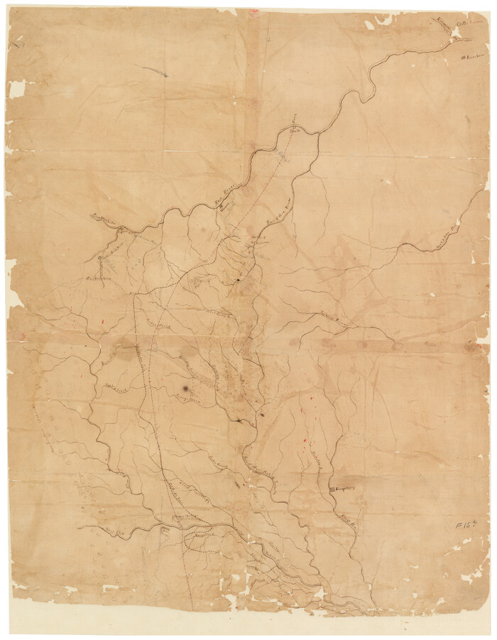
[Sketch of Col. Cooke's Military Road expedition from Red River to Austin]

Print $20.00
- Digital $50.00
[Sketch of Col. Cooke's Military Road expedition from Red River to Austin]
Size: 29.4 x 22.9 inches
166
Dallas County Sketch File 20

Print $4.00
- Digital $50.00
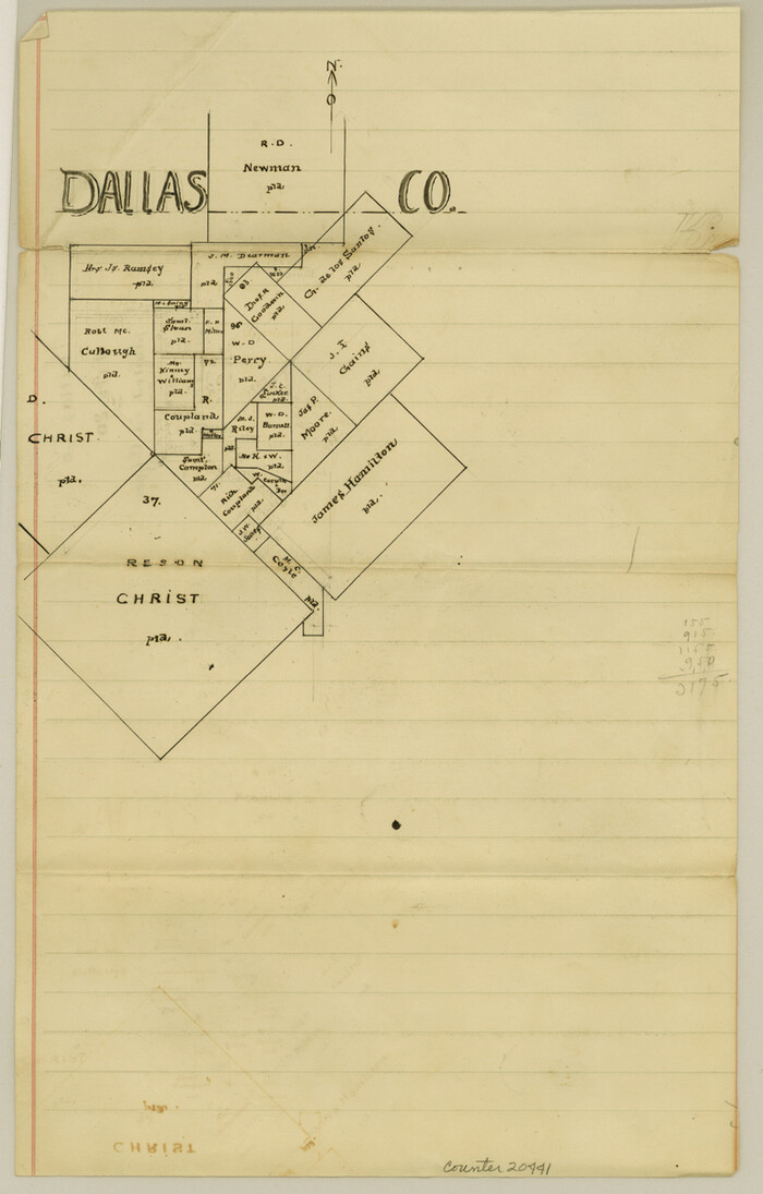
Dallas County Sketch File 20
Size: 12.2 x 7.8 inches
20441
Collin County Boundary File 1

Print $8.00
- Digital $50.00
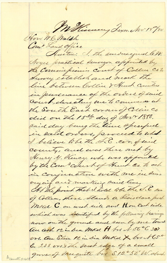
Collin County Boundary File 1
Size: 12.7 x 8.1 inches
51678
Collin County Boundary File 2

Print $6.00
- Digital $50.00
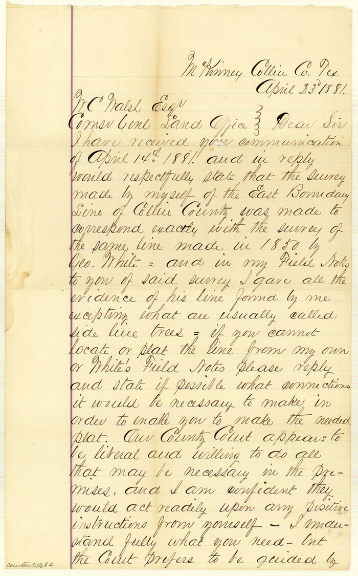
Collin County Boundary File 2
Size: 12.9 x 8.0 inches
51682
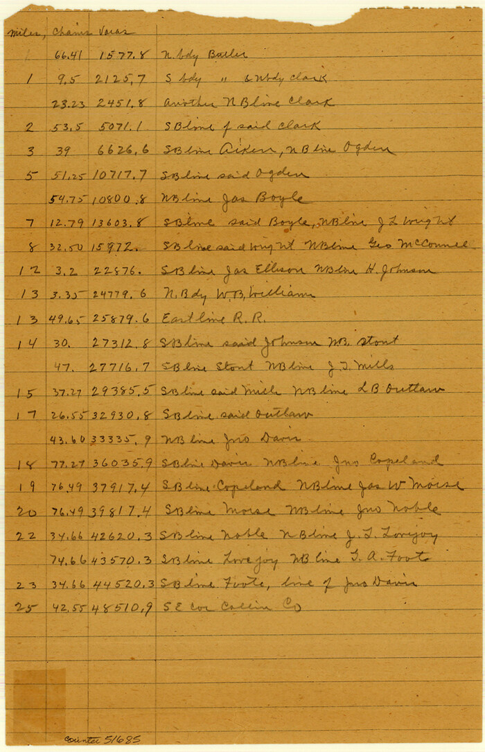
Collin County Boundary File 3

Print $12.00
- Digital $50.00
Collin County Boundary File 3
Size: 10.9 x 7.0 inches
51685
Collin County Boundary File 4 and 4a


Print $160.00
- Digital $50.00
Collin County Boundary File 4 and 4a
Size: 11.9 x 8.5 inches
51691
Collin County Boundary File 18 and 18a


Print $8.00
- Digital $50.00
Collin County Boundary File 18 and 18a
Size: 7.8 x 4.0 inches
51717
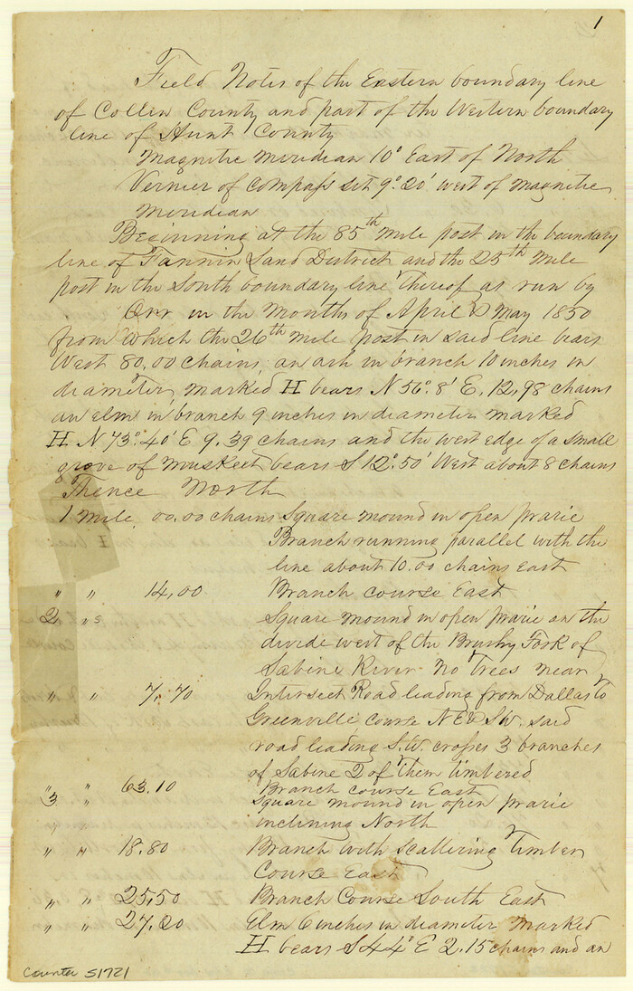
Collin County Boundary File 18b

Print $24.00
- Digital $50.00
Collin County Boundary File 18b
Size: 12.7 x 8.1 inches
51721
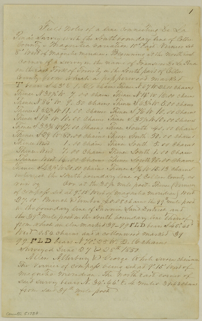
Collin County Boundary File 18c

Print $12.00
- Digital $50.00
Collin County Boundary File 18c
Size: 12.9 x 8.1 inches
51733
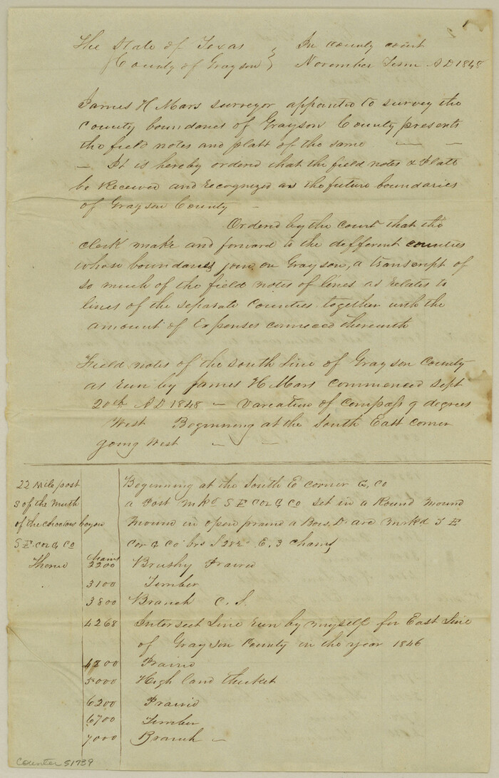
Collin County Boundary File 18d

Print $20.00
- Digital $50.00
Collin County Boundary File 18d
Size: 12.8 x 8.2 inches
51739
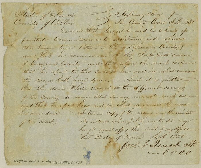
Collin County Boundary File 18e

Print $16.00
- Digital $50.00
Collin County Boundary File 18e
Size: 6.8 x 8.1 inches
51749
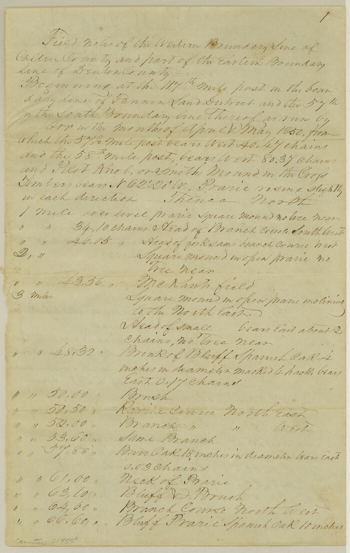
Collin County Boundary File 18f

Print $22.00
- Digital $50.00
Collin County Boundary File 18f
Size: 12.9 x 8.2 inches
51757
Map of Main Line Houston & Tex. Centr. Railway from Dallas to Red River City


Print $40.00
- Digital $50.00
Map of Main Line Houston & Tex. Centr. Railway from Dallas to Red River City
Size: 37.1 x 84.9 inches
64089
Map Showing Location of Dallas & Greenville Railroad through Rockwall County, Texas


Print $3.00
- Digital $50.00
Map Showing Location of Dallas & Greenville Railroad through Rockwall County, Texas
Size: 7.9 x 17.5 inches
64485
Map Showing Location of Dallas & Greenville Railway through Hunt County, Texas


Print $2.00
- Digital $50.00
Map Showing Location of Dallas & Greenville Railway through Hunt County, Texas
Size: 11.9 x 8.2 inches
64486
Map of the Recognised Line, M. El. P. & P. RR. from Texas & Arkansas State Line to Milam & Bexar Land District Line


Print $40.00
- Digital $50.00
Map of the Recognised Line, M. El. P. & P. RR. from Texas & Arkansas State Line to Milam & Bexar Land District Line
Size: 15.3 x 89.4 inches
64638
Sabine River, Watershed of the Sabine and Neches Rivers


Print $20.00
- Digital $50.00
Sabine River, Watershed of the Sabine and Neches Rivers
Size: 39.5 x 36.0 inches
65132
Field notes for subdivisions of University Leagues/Surveys in Fannin, Grayson, McLennan, Hunt, Lamar, Collin, and Cooke Counties


Field notes for subdivisions of University Leagues/Surveys in Fannin, Grayson, McLennan, Hunt, Lamar, Collin, and Cooke Counties
81727
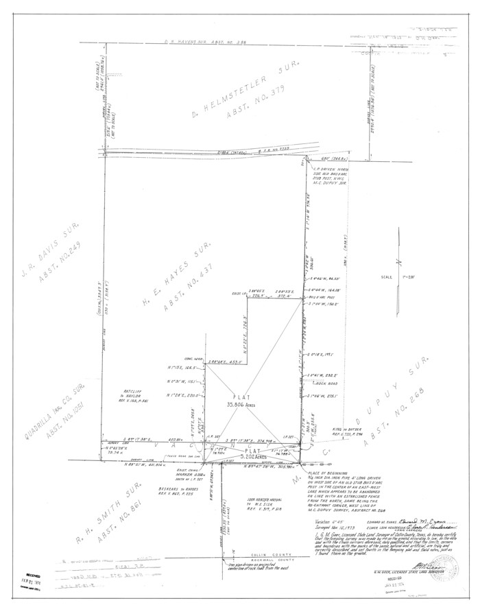
Collin County Rolled Sketch 2

Print $20.00
- Digital $50.00
Collin County Rolled Sketch 2
Size: 33.3 x 26.1 inches
8636
University and College Lands


Print $20.00
- Digital $50.00
University and College Lands
1841
Size: 21.3 x 27.0 inches
169
Map of Fannin County


Print $20.00
- Digital $50.00
Map of Fannin County
1845
Size: 34.7 x 47.0 inches
87153
Map of Fannin County


Print $20.00
- Digital $50.00
Map of Fannin County
1845
Size: 34.7 x 36.5 inches
16827
Collin County Sketch File 2


Print $8.00
- Digital $50.00
Collin County Sketch File 2
1848
Size: 10.0 x 8.0 inches
18858
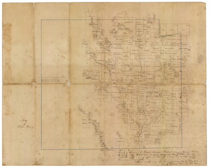
Map of Collin County

Print $20.00
- Digital $50.00
Map of Collin County
1850
Size: 18.1 x 22.5 inches
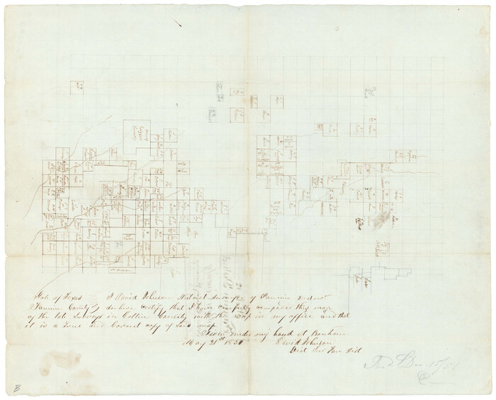
4519
Collin County Sketch File 12

Print $40.00
- Digital $50.00
Collin County Sketch File 12
1851
Size: 24.3 x 31.3 inches
11127
Grayson County Sketch File 10


Print $4.00
- Digital $50.00
Grayson County Sketch File 10
1851
Size: 12.1 x 7.9 inches
24474
Map of The Surveyed Part of Peters Colony Texas


Print $40.00
- Digital $50.00
Map of The Surveyed Part of Peters Colony Texas
1852
Size: 54.0 x 28.8 inches
3155
Collin County Sketch File 5
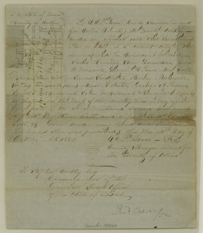

Print $4.00
- Digital $50.00
Collin County Sketch File 5
1852
Size: 9.7 x 8.5 inches
18864
[Sketch of Col. Cooke's Military Road expedition from Red River to Austin]
![166, [Sketch of Col. Cooke's Military Road expedition from Red River to Austin], General Map Collection](https://historictexasmaps.com/wmedia_w700/maps/166.tif.jpg)
![166, [Sketch of Col. Cooke's Military Road expedition from Red River to Austin], General Map Collection](https://historictexasmaps.com/wmedia_w700/maps/166.tif.jpg)
Print $20.00
- Digital $50.00
[Sketch of Col. Cooke's Military Road expedition from Red River to Austin]
-
Size
29.4 x 22.9 inches
-
Map/Doc
166
Dallas County Sketch File 20


Print $4.00
- Digital $50.00
Dallas County Sketch File 20
-
Size
12.2 x 7.8 inches
-
Map/Doc
20441
Collin County Boundary File 1


Print $8.00
- Digital $50.00
Collin County Boundary File 1
-
Size
12.7 x 8.1 inches
-
Map/Doc
51678
Collin County Boundary File 2


Print $6.00
- Digital $50.00
Collin County Boundary File 2
-
Size
12.9 x 8.0 inches
-
Map/Doc
51682
Collin County Boundary File 3


Print $12.00
- Digital $50.00
Collin County Boundary File 3
-
Size
10.9 x 7.0 inches
-
Map/Doc
51685
Collin County Boundary File 4 and 4a


Print $160.00
- Digital $50.00
Collin County Boundary File 4 and 4a
-
Size
11.9 x 8.5 inches
-
Map/Doc
51691
Collin County Boundary File 18 and 18a


Print $8.00
- Digital $50.00
Collin County Boundary File 18 and 18a
-
Size
7.8 x 4.0 inches
-
Map/Doc
51717
Collin County Boundary File 18b


Print $24.00
- Digital $50.00
Collin County Boundary File 18b
-
Size
12.7 x 8.1 inches
-
Map/Doc
51721
Collin County Boundary File 18c


Print $12.00
- Digital $50.00
Collin County Boundary File 18c
-
Size
12.9 x 8.1 inches
-
Map/Doc
51733
Collin County Boundary File 18d


Print $20.00
- Digital $50.00
Collin County Boundary File 18d
-
Size
12.8 x 8.2 inches
-
Map/Doc
51739
Collin County Boundary File 18e


Print $16.00
- Digital $50.00
Collin County Boundary File 18e
-
Size
6.8 x 8.1 inches
-
Map/Doc
51749
Collin County Boundary File 18f


Print $22.00
- Digital $50.00
Collin County Boundary File 18f
-
Size
12.9 x 8.2 inches
-
Map/Doc
51757
Map of Main Line Houston & Tex. Centr. Railway from Dallas to Red River City


Print $40.00
- Digital $50.00
Map of Main Line Houston & Tex. Centr. Railway from Dallas to Red River City
-
Size
37.1 x 84.9 inches
-
Map/Doc
64089
Map Showing Location of Dallas & Greenville Railroad through Rockwall County, Texas


Print $3.00
- Digital $50.00
Map Showing Location of Dallas & Greenville Railroad through Rockwall County, Texas
-
Size
7.9 x 17.5 inches
-
Map/Doc
64485
Map Showing Location of Dallas & Greenville Railway through Hunt County, Texas


Print $2.00
- Digital $50.00
Map Showing Location of Dallas & Greenville Railway through Hunt County, Texas
-
Size
11.9 x 8.2 inches
-
Map/Doc
64486
Map of the Recognised Line, M. El. P. & P. RR. from Texas & Arkansas State Line to Milam & Bexar Land District Line


Print $40.00
- Digital $50.00
Map of the Recognised Line, M. El. P. & P. RR. from Texas & Arkansas State Line to Milam & Bexar Land District Line
-
Size
15.3 x 89.4 inches
-
Map/Doc
64638
Sabine River, Watershed of the Sabine and Neches Rivers


Print $20.00
- Digital $50.00
Sabine River, Watershed of the Sabine and Neches Rivers
-
Size
39.5 x 36.0 inches
-
Map/Doc
65132
Field notes for subdivisions of University Leagues/Surveys in Fannin, Grayson, McLennan, Hunt, Lamar, Collin, and Cooke Counties


Field notes for subdivisions of University Leagues/Surveys in Fannin, Grayson, McLennan, Hunt, Lamar, Collin, and Cooke Counties
-
Map/Doc
81727
Collin County Rolled Sketch 2


Print $20.00
- Digital $50.00
Collin County Rolled Sketch 2
-
Size
33.3 x 26.1 inches
-
Map/Doc
8636
University and College Lands


Print $20.00
- Digital $50.00
University and College Lands
1841
-
Size
21.3 x 27.0 inches
-
Map/Doc
169
-
Creation Date
1841
Map of Fannin County


Print $20.00
- Digital $50.00
Map of Fannin County
1845
-
Size
34.7 x 47.0 inches
-
Map/Doc
87153
-
Creation Date
1845
Map of Fannin County


Print $20.00
- Digital $50.00
Map of Fannin County
1845
-
Size
34.7 x 36.5 inches
-
Map/Doc
16827
-
Creation Date
1845
Collin County Sketch File 2


Print $8.00
- Digital $50.00
Collin County Sketch File 2
1848
-
Size
10.0 x 8.0 inches
-
Map/Doc
18858
-
Creation Date
1848
Map of Collin County


Print $20.00
- Digital $50.00
Map of Collin County
1850
-
Size
18.1 x 22.5 inches
-
Map/Doc
4519
-
Creation Date
1850
Collin
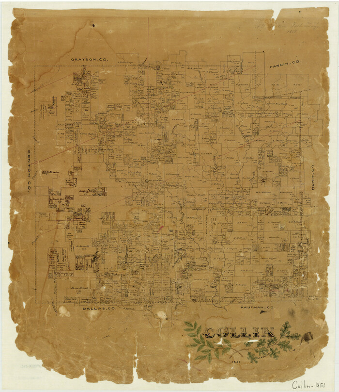

Print $20.00
- Digital $50.00
Collin
1851
-
Size
22.0 x 19.0 inches
-
Map/Doc
3416
-
Creation Date
1851
Collin County Sketch File 12


Print $40.00
- Digital $50.00
Collin County Sketch File 12
1851
-
Size
24.3 x 31.3 inches
-
Map/Doc
11127
-
Creation Date
1851
Grayson County Sketch File 10


Print $4.00
- Digital $50.00
Grayson County Sketch File 10
1851
-
Size
12.1 x 7.9 inches
-
Map/Doc
24474
-
Creation Date
1851
Map of The Surveyed Part of Peters Colony Texas


Print $40.00
- Digital $50.00
Map of The Surveyed Part of Peters Colony Texas
1852
-
Size
54.0 x 28.8 inches
-
Map/Doc
3155
-
Creation Date
1852
Collin County Sketch File 5


Print $4.00
- Digital $50.00
Collin County Sketch File 5
1852
-
Size
9.7 x 8.5 inches
-
Map/Doc
18864
-
Creation Date
1852
