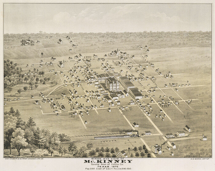
Bird's Eye View of McKinney, County Seat of Collin Co[unty], Texas

Print $20.00
Bird's Eye View of McKinney, County Seat of Collin Co[unty], Texas
1876
Size: 11.7 x 14.7 inches
89099
Collin County Boundary File 1

Print $8.00
- Digital $50.00
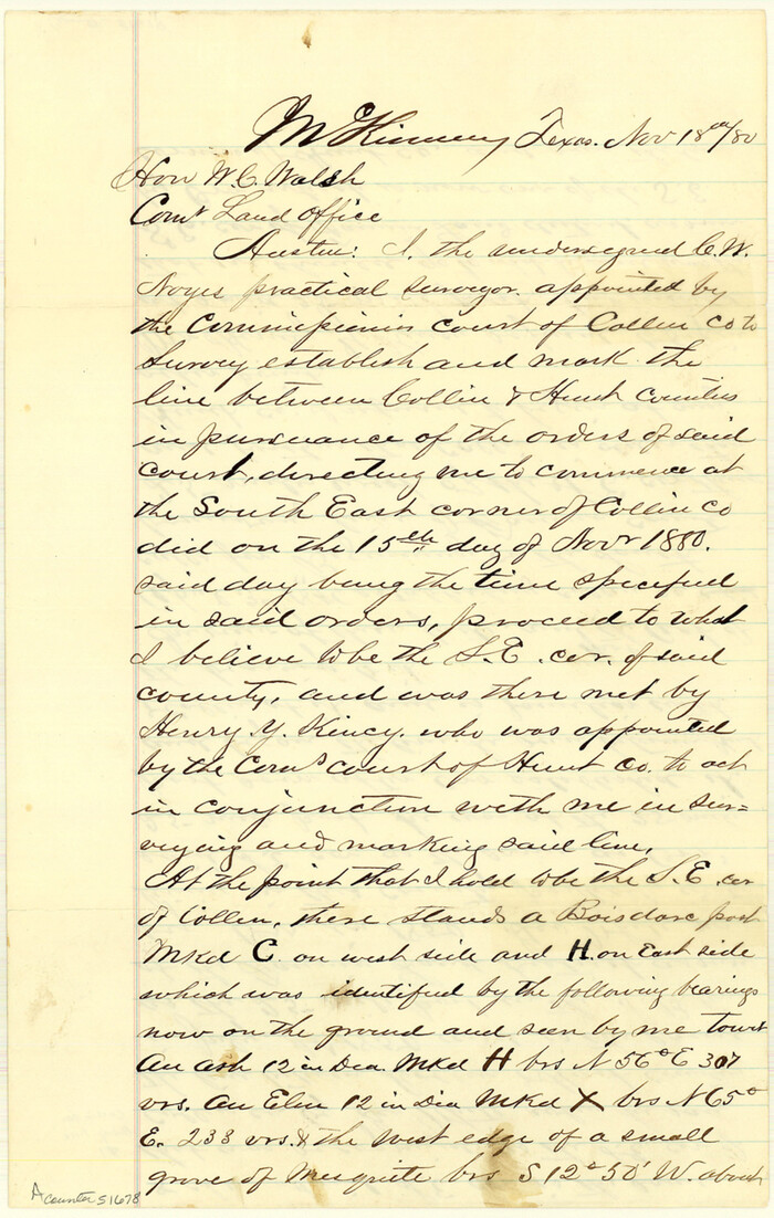
Collin County Boundary File 1
Size: 12.7 x 8.1 inches
51678
Collin County Boundary File 18 and 18a


Print $8.00
- Digital $50.00
Collin County Boundary File 18 and 18a
Size: 7.8 x 4.0 inches
51717
Collin County Boundary File 18b

Print $24.00
- Digital $50.00
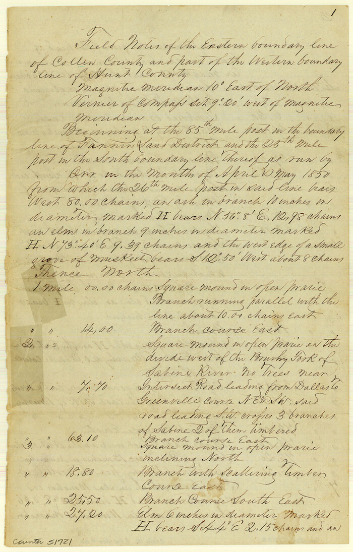
Collin County Boundary File 18b
Size: 12.7 x 8.1 inches
51721
Collin County Boundary File 18c

Print $12.00
- Digital $50.00
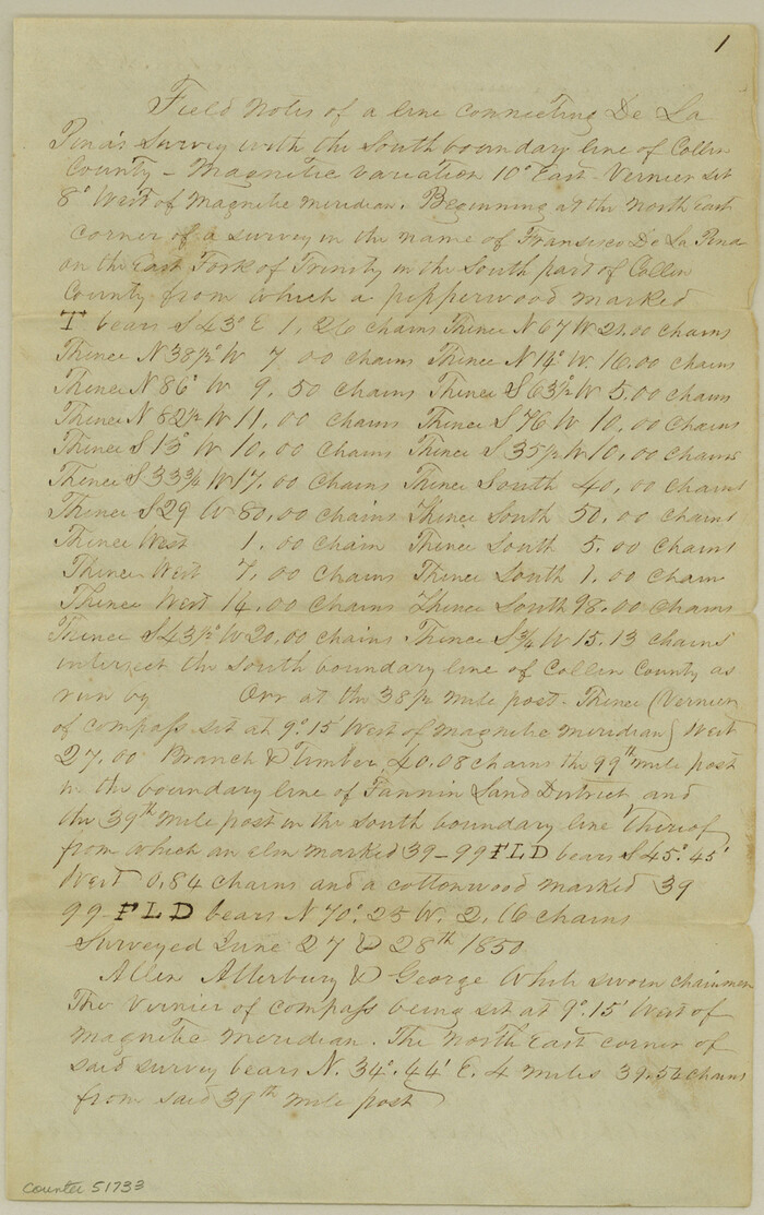
Collin County Boundary File 18c
Size: 12.9 x 8.1 inches
51733
Collin County Boundary File 18d
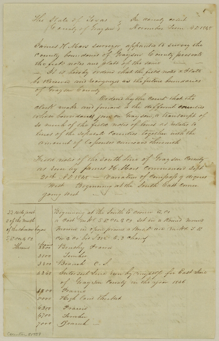

Print $20.00
- Digital $50.00
Collin County Boundary File 18d
Size: 12.8 x 8.2 inches
51739
Collin County Boundary File 18e
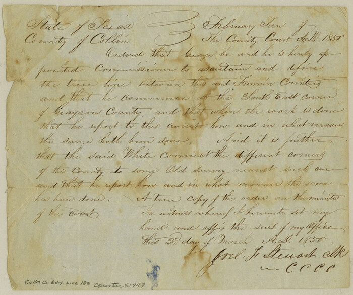

Print $16.00
- Digital $50.00
Collin County Boundary File 18e
Size: 6.8 x 8.1 inches
51749
Collin County Boundary File 18f
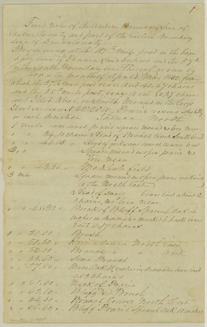

Print $22.00
- Digital $50.00
Collin County Boundary File 18f
Size: 12.9 x 8.2 inches
51757
Collin County Boundary File 2
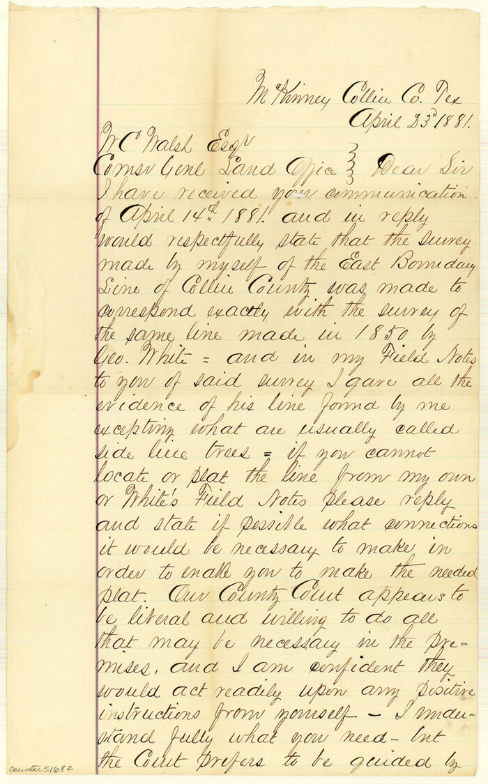

Print $6.00
- Digital $50.00
Collin County Boundary File 2
Size: 12.9 x 8.0 inches
51682
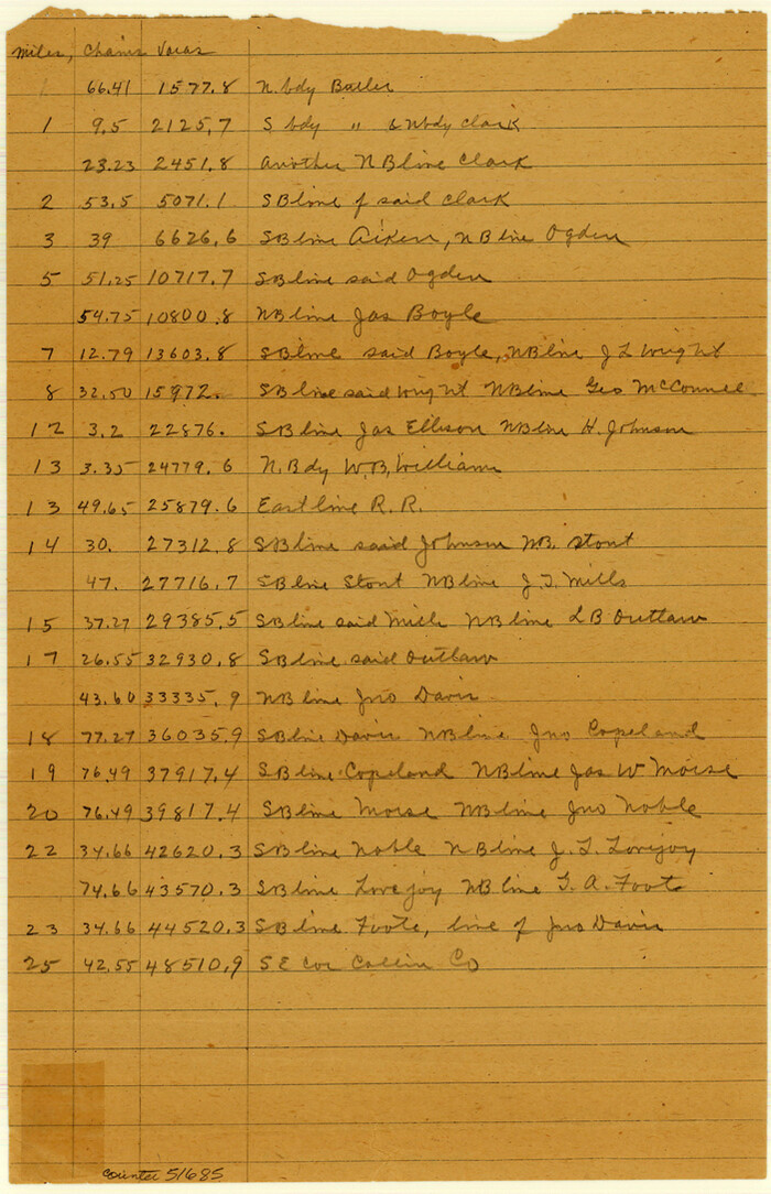
Collin County Boundary File 3

Print $12.00
- Digital $50.00
Collin County Boundary File 3
Size: 10.9 x 7.0 inches
51685
Collin County Boundary File 4 and 4a


Print $160.00
- Digital $50.00
Collin County Boundary File 4 and 4a
Size: 11.9 x 8.5 inches
51691
Collin County Rolled Sketch 1


Print $20.00
- Digital $50.00
Collin County Rolled Sketch 1
1953
Size: 34.9 x 35.6 inches
8635
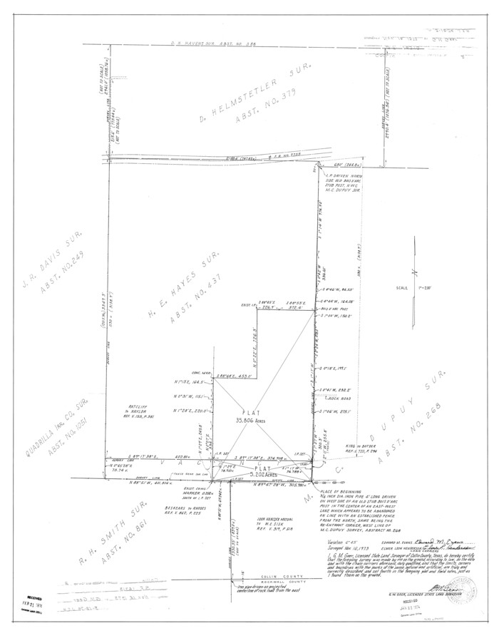
Collin County Rolled Sketch 2

Print $20.00
- Digital $50.00
Collin County Rolled Sketch 2
Size: 33.3 x 26.1 inches
8636
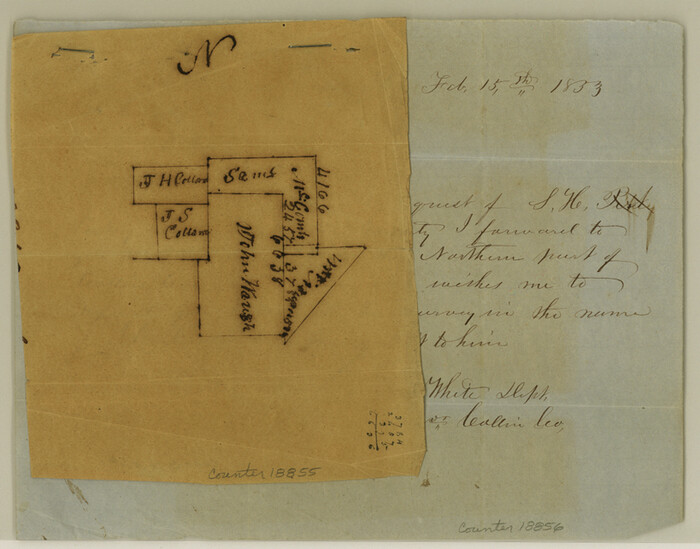
Collin County Sketch File 1

Print $6.00
- Digital $50.00
Collin County Sketch File 1
1853
Size: 6.4 x 8.2 inches
18855
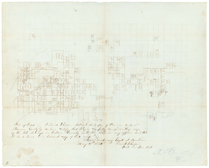
Collin County Sketch File 12

Print $40.00
- Digital $50.00
Collin County Sketch File 12
1851
Size: 24.3 x 31.3 inches
11127
Collin County Sketch File 13


Print $4.00
- Digital $50.00
Collin County Sketch File 13
1874
Size: 8.8 x 6.8 inches
18872
Collin County Sketch File 14


Print $12.00
- Digital $50.00
Collin County Sketch File 14
1953
Size: 11.2 x 8.7 inches
18874
Collin County Sketch File 15


Print $4.00
- Digital $50.00
Collin County Sketch File 15
1873
Size: 10.0 x 8.0 inches
18880
Collin County Sketch File 2


Print $8.00
- Digital $50.00
Collin County Sketch File 2
1848
Size: 10.0 x 8.0 inches
18858
Collin County Sketch File 3


Print $20.00
- Digital $50.00
Collin County Sketch File 3
1852
Size: 19.5 x 21.4 inches
11126
Collin County Sketch File 4


Print $4.00
- Digital $50.00
Collin County Sketch File 4
1856
Size: 10.0 x 8.0 inches
18862
Bird's Eye View of McKinney, County Seat of Collin Co[unty], Texas
![89099, Bird's Eye View of McKinney, County Seat of Collin Co[unty], Texas, Non-GLO Digital Images](https://historictexasmaps.com/wmedia_w700/maps/89099.tif.jpg)
![89099, Bird's Eye View of McKinney, County Seat of Collin Co[unty], Texas, Non-GLO Digital Images](https://historictexasmaps.com/wmedia_w700/maps/89099.tif.jpg)
Print $20.00
Bird's Eye View of McKinney, County Seat of Collin Co[unty], Texas
1876
-
Size
11.7 x 14.7 inches
-
Map/Doc
89099
-
Creation Date
1876
Collin
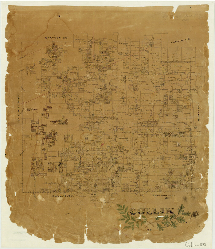

Print $20.00
- Digital $50.00
Collin
1851
-
Size
22.0 x 19.0 inches
-
Map/Doc
3416
-
Creation Date
1851
Collin County


Print $20.00
- Digital $50.00
Collin County
1916
-
Size
42.6 x 38.6 inches
-
Map/Doc
1804
-
Creation Date
1916
Collin County
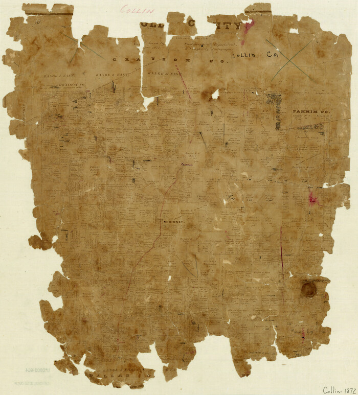

Print $20.00
- Digital $50.00
Collin County
1872
-
Size
20.1 x 18.5 inches
-
Map/Doc
3418
-
Creation Date
1872
Collin County
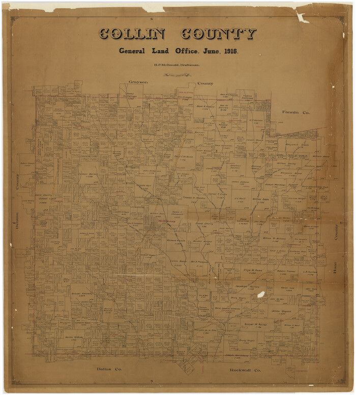

Print $20.00
- Digital $50.00
Collin County
1916
-
Size
41.8 x 37.3 inches
-
Map/Doc
4740
-
Creation Date
1916
Collin County
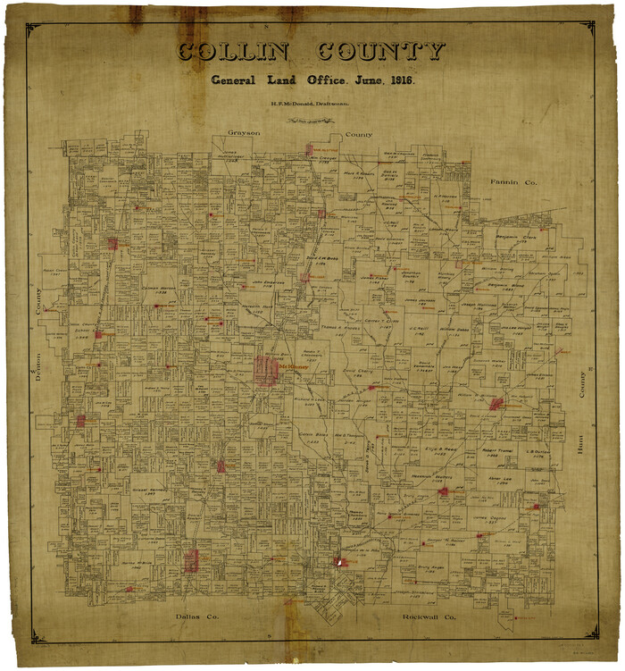

Print $20.00
- Digital $50.00
Collin County
1916
-
Size
42.3 x 38.9 inches
-
Map/Doc
4914
-
Creation Date
1916
Collin County


Print $20.00
- Digital $50.00
Collin County
1975
-
Size
43.2 x 40.1 inches
-
Map/Doc
73110
-
Creation Date
1975
Collin County


Print $20.00
- Digital $50.00
Collin County
1975
-
Size
42.2 x 39.4 inches
-
Map/Doc
77242
-
Creation Date
1975
Collin County
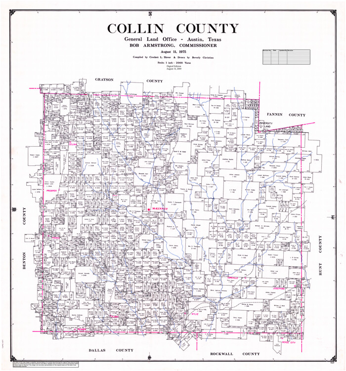

Print $20.00
- Digital $50.00
Collin County
1975
-
Size
42.7 x 39.8 inches
-
Map/Doc
95459
-
Creation Date
1975
Collin County Boundary File 1


Print $8.00
- Digital $50.00
Collin County Boundary File 1
-
Size
12.7 x 8.1 inches
-
Map/Doc
51678
Collin County Boundary File 18 and 18a


Print $8.00
- Digital $50.00
Collin County Boundary File 18 and 18a
-
Size
7.8 x 4.0 inches
-
Map/Doc
51717
Collin County Boundary File 18b


Print $24.00
- Digital $50.00
Collin County Boundary File 18b
-
Size
12.7 x 8.1 inches
-
Map/Doc
51721
Collin County Boundary File 18c


Print $12.00
- Digital $50.00
Collin County Boundary File 18c
-
Size
12.9 x 8.1 inches
-
Map/Doc
51733
Collin County Boundary File 18d


Print $20.00
- Digital $50.00
Collin County Boundary File 18d
-
Size
12.8 x 8.2 inches
-
Map/Doc
51739
Collin County Boundary File 18e


Print $16.00
- Digital $50.00
Collin County Boundary File 18e
-
Size
6.8 x 8.1 inches
-
Map/Doc
51749
Collin County Boundary File 18f


Print $22.00
- Digital $50.00
Collin County Boundary File 18f
-
Size
12.9 x 8.2 inches
-
Map/Doc
51757
Collin County Boundary File 2


Print $6.00
- Digital $50.00
Collin County Boundary File 2
-
Size
12.9 x 8.0 inches
-
Map/Doc
51682
Collin County Boundary File 3


Print $12.00
- Digital $50.00
Collin County Boundary File 3
-
Size
10.9 x 7.0 inches
-
Map/Doc
51685
Collin County Boundary File 4 and 4a


Print $160.00
- Digital $50.00
Collin County Boundary File 4 and 4a
-
Size
11.9 x 8.5 inches
-
Map/Doc
51691
Collin County Rolled Sketch 1


Print $20.00
- Digital $50.00
Collin County Rolled Sketch 1
1953
-
Size
34.9 x 35.6 inches
-
Map/Doc
8635
-
Creation Date
1953
Collin County Rolled Sketch 2


Print $20.00
- Digital $50.00
Collin County Rolled Sketch 2
-
Size
33.3 x 26.1 inches
-
Map/Doc
8636
Collin County Sketch File 1


Print $6.00
- Digital $50.00
Collin County Sketch File 1
1853
-
Size
6.4 x 8.2 inches
-
Map/Doc
18855
-
Creation Date
1853
Collin County Sketch File 12


Print $40.00
- Digital $50.00
Collin County Sketch File 12
1851
-
Size
24.3 x 31.3 inches
-
Map/Doc
11127
-
Creation Date
1851
Collin County Sketch File 13


Print $4.00
- Digital $50.00
Collin County Sketch File 13
1874
-
Size
8.8 x 6.8 inches
-
Map/Doc
18872
-
Creation Date
1874
Collin County Sketch File 14


Print $12.00
- Digital $50.00
Collin County Sketch File 14
1953
-
Size
11.2 x 8.7 inches
-
Map/Doc
18874
-
Creation Date
1953
Collin County Sketch File 15


Print $4.00
- Digital $50.00
Collin County Sketch File 15
1873
-
Size
10.0 x 8.0 inches
-
Map/Doc
18880
-
Creation Date
1873
Collin County Sketch File 2


Print $8.00
- Digital $50.00
Collin County Sketch File 2
1848
-
Size
10.0 x 8.0 inches
-
Map/Doc
18858
-
Creation Date
1848
Collin County Sketch File 3


Print $20.00
- Digital $50.00
Collin County Sketch File 3
1852
-
Size
19.5 x 21.4 inches
-
Map/Doc
11126
-
Creation Date
1852
Collin County Sketch File 4


Print $4.00
- Digital $50.00
Collin County Sketch File 4
1856
-
Size
10.0 x 8.0 inches
-
Map/Doc
18862
-
Creation Date
1856
