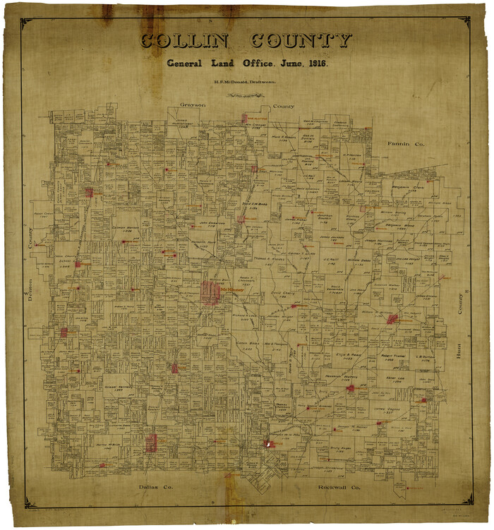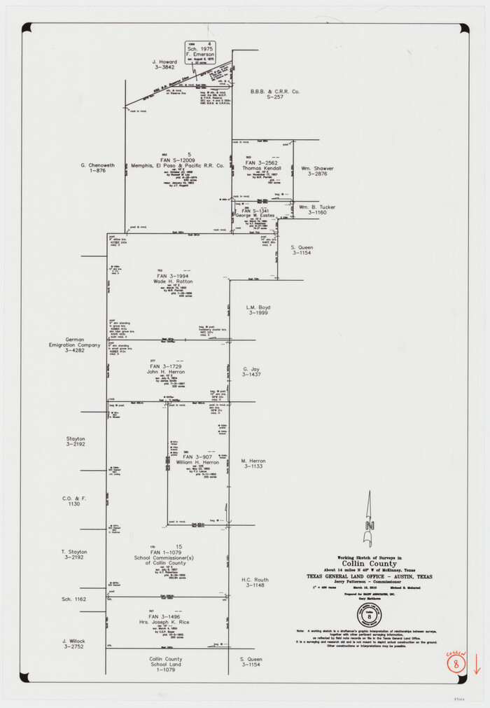
82 results

Collin County Working Sketch 8
89262.tif
Print $20.00 - Digital $50.00

Collin County Working Sketch 8

2010
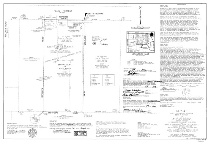
Size: 27.4 x 18.9 inches
89262
Collin County State Real Property Sketch 1
88634, Collin County State Real Property Sketch 1, General Map Collection
Print $20.00 - Digital $50.00

Collin County State Real Property Sketch 1

2006

Size: 24.1 x 35.1 inches
88634
Collin County Working Sketch 7
83563.tif
Print $40.00 - Digital $50.00

Collin County Working Sketch 7

2004

Size: 50.5 x 33.8 inches
83563
Collin County Working Sketch 6
68100.tif
Print $20.00 - Digital $50.00

Collin County Working Sketch 6

1996

Size: 11.2 x 42.2 inches
68100
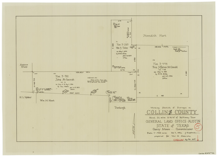
Collin County Working Sketch 5
68099.tif
Print $20.00 - Digital $50.00

Collin County Working Sketch 5

1992

Size: 14.2 x 19.7 inches
68099
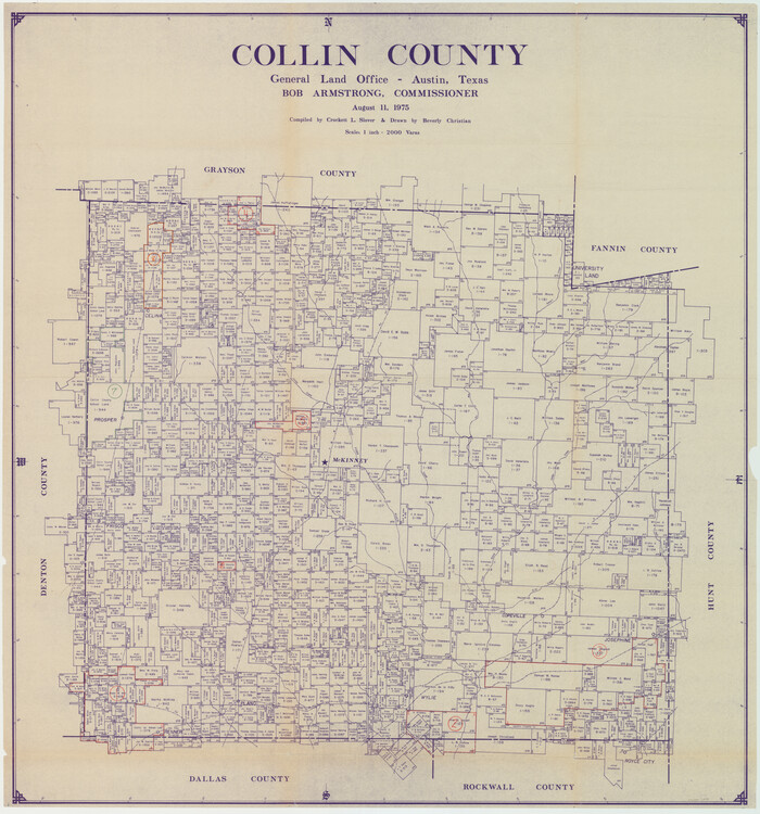
Collin County
73110.tif
Print $20.00 - Digital $50.00

Collin County

1975

Size: 43.2 x 40.1 inches
73110
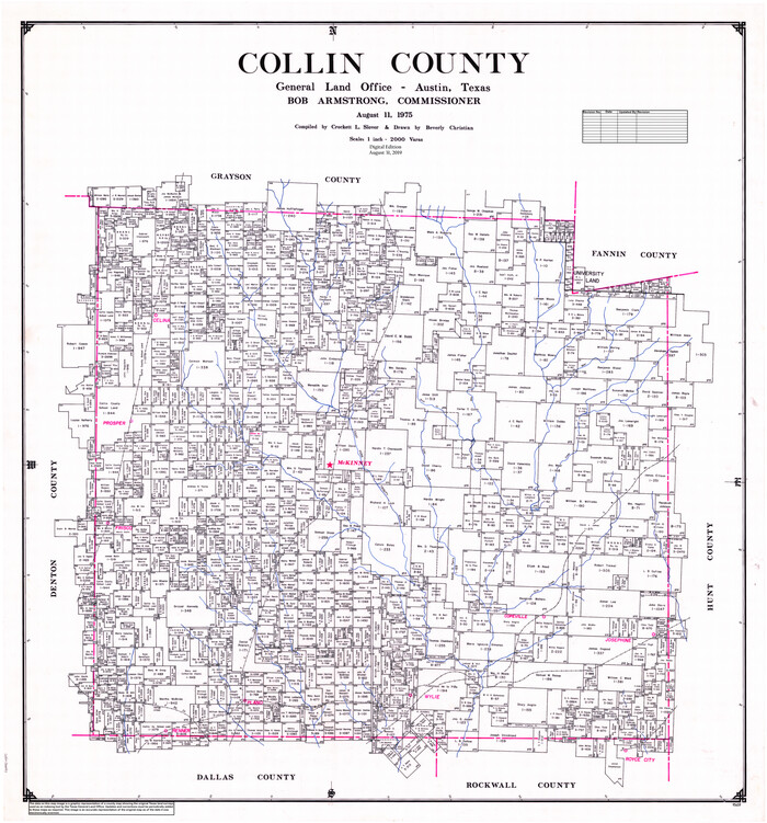
Collin County
77242.tif
Print $20.00 - Digital $50.00

Collin County

1975

Size: 42.2 x 39.4 inches
77242
Collin County
95459.tif
Print $20.00 - Digital $50.00

Collin County

1975

Size: 42.7 x 39.8 inches
95459
Collin County Working Sketch Graphic Index
76498.tif
Print $20.00 - Digital $50.00

Collin County Working Sketch Graphic Index

1975
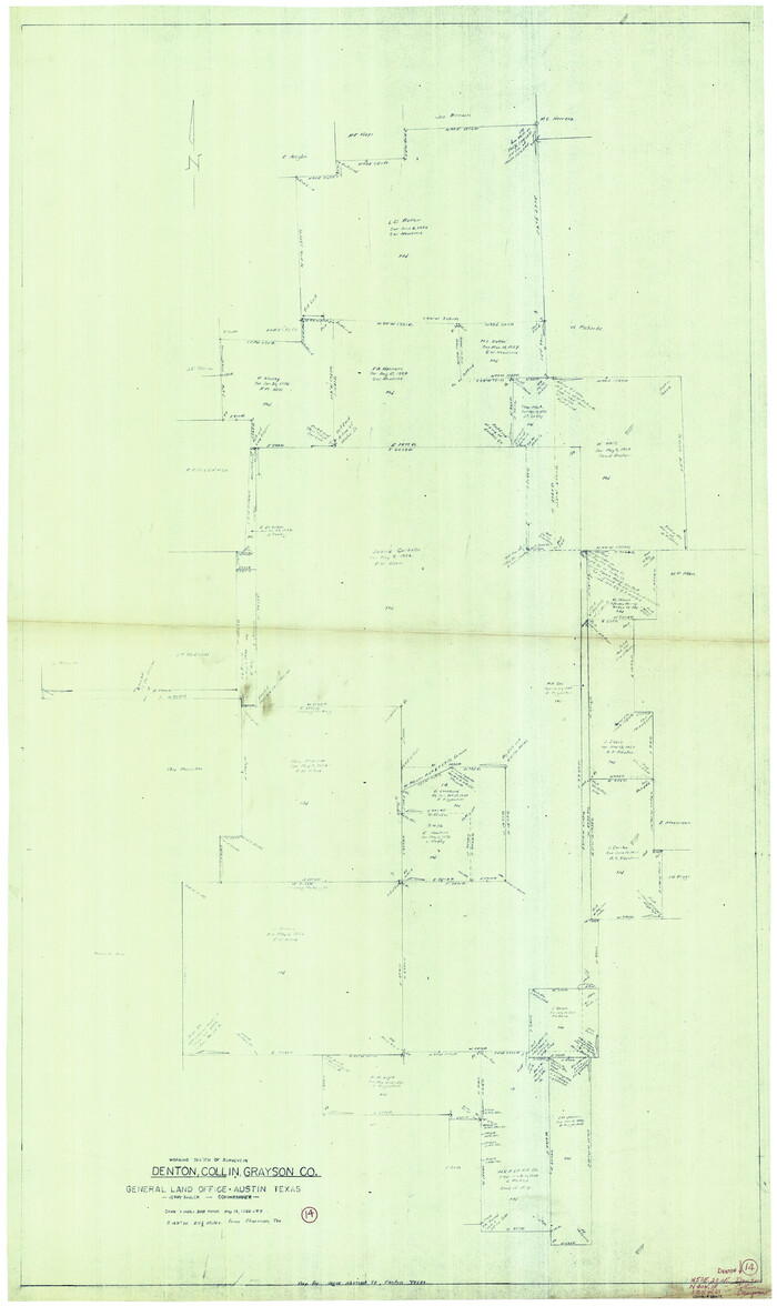
Size: 41.4 x 39.0 inches
76498
General Highway Map, Collin County, Texas
79413.tif
Print $20.00

General Highway Map, Collin County, Texas

1961
Size: 18.2 x 24.6 inches
79413
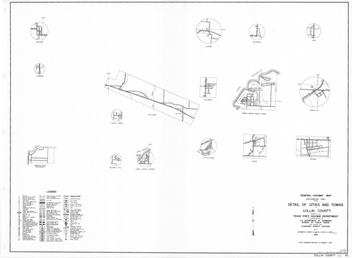
General Highway Map. Detail of Cities and Towns in Collin County, Texas
79414.tif
Print $20.00

General Highway Map. Detail of Cities and Towns in Collin County, Texas

1961

Size: 18.2 x 24.8 inches
79414
Collin County Sketch File 14
18874, Collin County Sketch File 14, General Map Collection
Print $12.00 - Digital $50.00

Collin County Sketch File 14

1953

Size: 11.2 x 8.7 inches
18874
Collin County Rolled Sketch 1
8635.tif
Print $20.00 - Digital $50.00

Collin County Rolled Sketch 1

1953

Size: 34.9 x 35.6 inches
8635
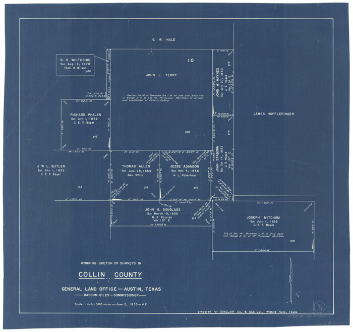
Collin County Working Sketch 4
68098.tif
Print $20.00 - Digital $50.00

Collin County Working Sketch 4

1953

Size: 20.4 x 21.8 inches
68098
General Highway Map, Collin County, Texas
79052.tif
Print $20.00

General Highway Map, Collin County, Texas

1939

Size: 18.6 x 25.0 inches
79052
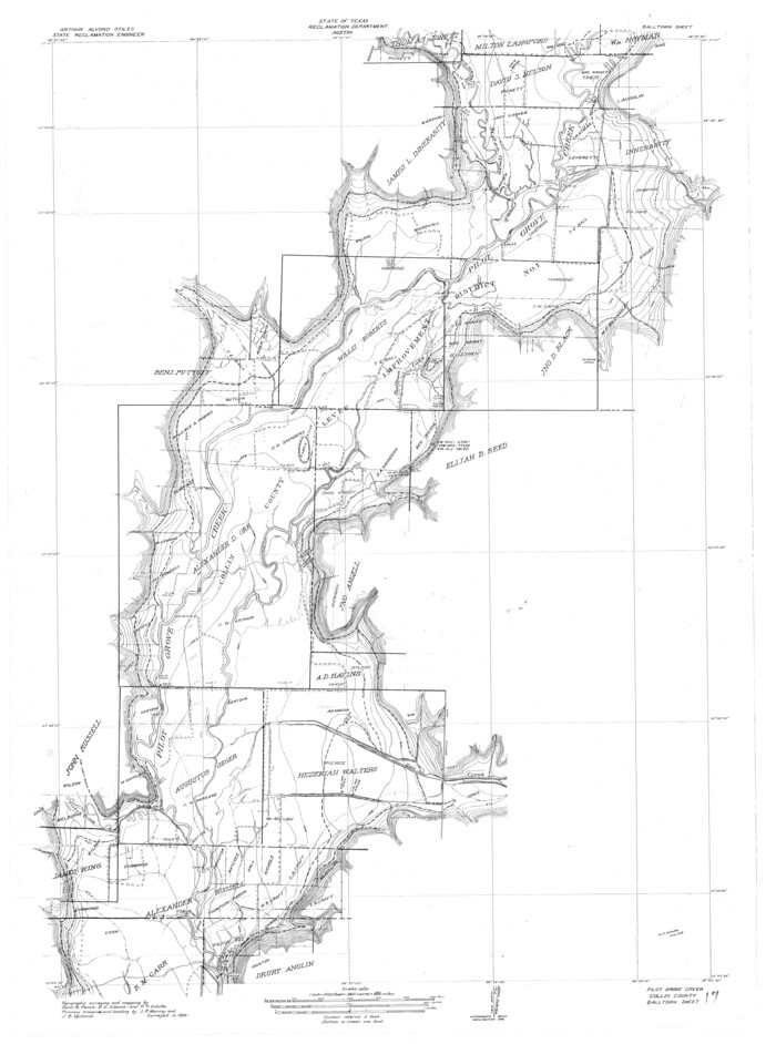
Trinity River, Balltown Sheet/Pilot Grove Creek
65196.tif
Print $20.00 - Digital $50.00

Trinity River, Balltown Sheet/Pilot Grove Creek

1938
Size: 40.1 x 33.7 inches
65196
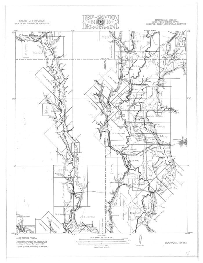
Trinity River, Rockwall Sheet/East Fork of Trinity River
65193.tif
Print $4.00 - Digital $50.00

Trinity River, Rockwall Sheet/East Fork of Trinity River

1936

Size: 29.6 x 22.9 inches
65193
Collin County Working Sketch 3
68097.tif
Print $20.00 - Digital $50.00

Collin County Working Sketch 3

1935

Size: 25.8 x 41.7 inches
68097
Trinity River, Branch Sheet/East Fork of Trinity River
65240.tif
Print $20.00 - Digital $50.00

Trinity River, Branch Sheet/East Fork of Trinity River

1931
Size: 41.4 x 19.6 inches
65240
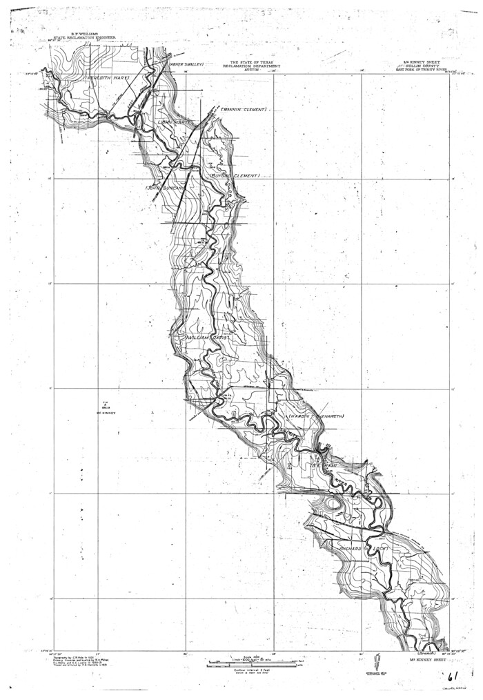
Trinity River, McKinney Sheet/East Fork of Trinity River
65241.tif
Print $20.00 - Digital $50.00

Trinity River, McKinney Sheet/East Fork of Trinity River

1931

Size: 40.6 x 28.0 inches
65241
Reclamation & Navigation Map of Trinity River Flood Plain
65178-GC.tif
Print $40.00 - Digital $50.00

Reclamation & Navigation Map of Trinity River Flood Plain

1930
Size: 24.3 x 75.8 inches
65178
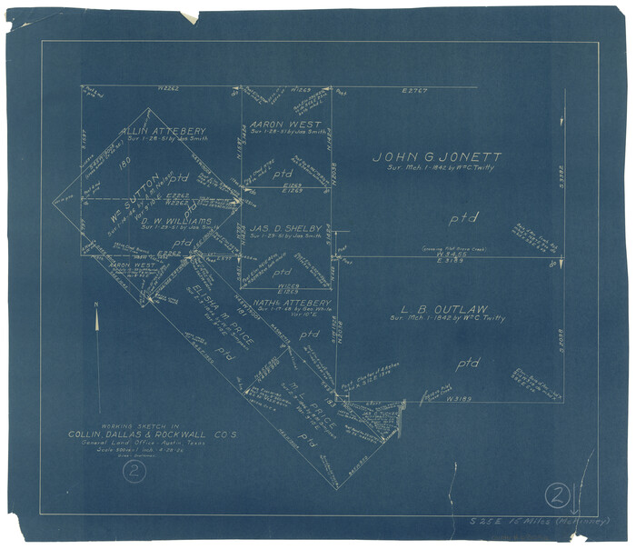
Collin County Working Sketch 2
68096.tif
Print $20.00 - Digital $50.00

Collin County Working Sketch 2

1926

Size: 15.2 x 17.7 inches
68096
Trinity River, Clear Lake Sheet/East Fork of Trinity River and Pilot Grove Creek
65194.tif
Print $6.00 - Digital $50.00

Trinity River, Clear Lake Sheet/East Fork of Trinity River and Pilot Grove Creek

1923
Size: 33.0 x 31.1 inches
65194
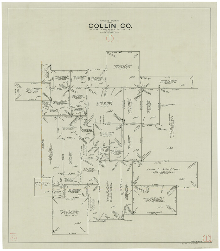
Collin County Working Sketch 1
68095.tif
Print $20.00 - Digital $50.00

Collin County Working Sketch 1

1921

Size: 26.6 x 23.4 inches
68095
Trinity River, Levee Improvement Districts, Widths of Floodways/Pilot Grove Creek and East Fork Trinity River
65259.tif
Print $6.00 - Digital $50.00

Trinity River, Levee Improvement Districts, Widths of Floodways/Pilot Grove Creek and East Fork Trinity River

1920
Size: 33.0 x 17.1 inches
65259
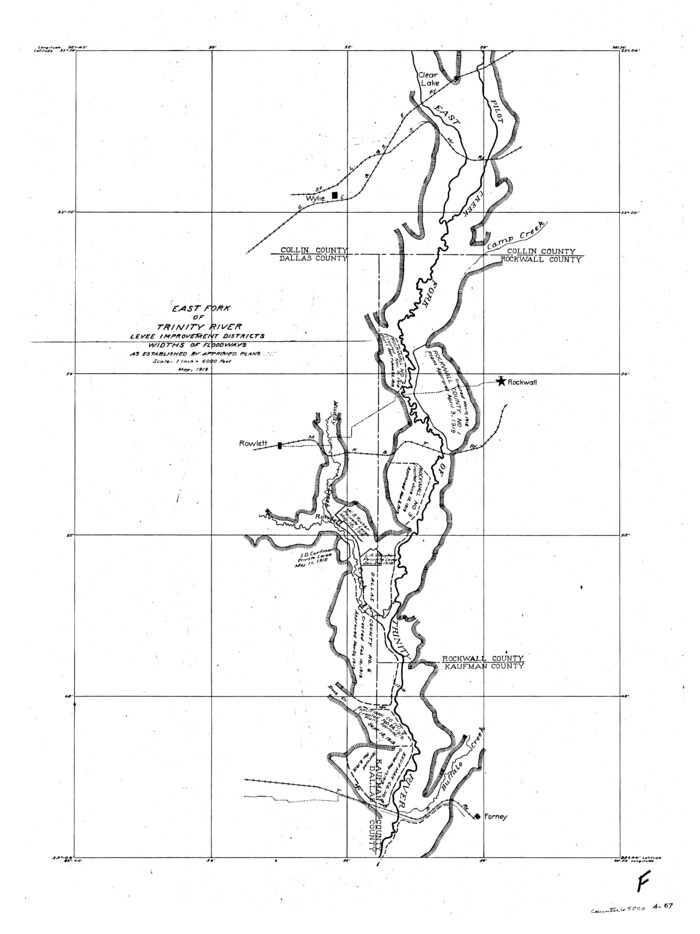
Trinity River, Levee Improvement Districts, Widths of Floodways
65250.tif
Print $4.00 - Digital $50.00

Trinity River, Levee Improvement Districts, Widths of Floodways

1919
Size: 23.5 x 17.6 inches
65250
Collin County
1804-GC.tif
Print $20.00 - Digital $50.00

Collin County

1916

Size: 42.6 x 38.6 inches
1804
Collin County
4914.tif
Print $20.00 - Digital $50.00

Collin County

1916

Size: 42.3 x 38.9 inches
4914
Trinity River, Balltown Sheet/Pilot Grove Creek
65195.tif
Print $20.00 - Digital $50.00

Trinity River, Balltown Sheet/Pilot Grove Creek

1916

Size: 36.9 x 27.5 inches
65195
Collin County
4740-1.tif
Print $20.00 - Digital $50.00

Collin County

1916

Size: 41.8 x 37.3 inches
4740
Collin County Working Sketch 8
89262, Collin County Working Sketch 8, General Map Collection
Print $20.00 - Digital $50.00

Collin County Working Sketch 8

2010

  • Size

    27.4 x 18.9 inches

  • Map/Doc

    89262

  • Creation Date

    2010

Collin County State Real Property Sketch 1
88634, Collin County State Real Property Sketch 1, General Map Collection
Print $20.00 - Digital $50.00

Collin County State Real Property Sketch 1

2006

  • Size

    24.1 x 35.1 inches

  • Map/Doc

    88634

  • Creation Date

    2006

Collin County Working Sketch 7
83563, Collin County Working Sketch 7, General Map Collection
Print $40.00 - Digital $50.00

Collin County Working Sketch 7

2004

  • Size

    50.5 x 33.8 inches

  • Map/Doc

    83563

  • Creation Date

    2004

Collin County Working Sketch 6
68100, Collin County Working Sketch 6, General Map Collection
Print $20.00 - Digital $50.00

Collin County Working Sketch 6

1996

  • Size

    11.2 x 42.2 inches

  • Map/Doc

    68100

  • Creation Date

    1996

Collin County Working Sketch 5
68099, Collin County Working Sketch 5, General Map Collection
Print $20.00 - Digital $50.00

Collin County Working Sketch 5

1992

  • Size

    14.2 x 19.7 inches

  • Map/Doc

    68099

  • Creation Date

    1992

Collin County
73110, Collin County, General Map Collection
Print $20.00 - Digital $50.00

Collin County

1975

  • Size

    43.2 x 40.1 inches

  • Map/Doc

    73110

  • Creation Date

    1975

Collin County
77242, Collin County, General Map Collection
Print $20.00 - Digital $50.00

Collin County

1975

  • Size

    42.2 x 39.4 inches

  • Map/Doc

    77242

  • Creation Date

    1975

Collin County
95459, Collin County, General Map Collection
Print $20.00 - Digital $50.00

Collin County

1975

  • Size

    42.7 x 39.8 inches

  • Map/Doc

    95459

  • Creation Date

    1975

Collin County Working Sketch Graphic Index
76498, Collin County Working Sketch Graphic Index, General Map Collection
Print $20.00 - Digital $50.00

Collin County Working Sketch Graphic Index

1975

  • Size

    41.4 x 39.0 inches

  • Map/Doc

    76498

  • Creation Date

    1975

General Highway Map, Collin County, Texas
79413, General Highway Map, Collin County, Texas, Texas State Library and Archives
Print $20.00

General Highway Map, Collin County, Texas

1961

  • Size

    18.2 x 24.6 inches

  • Map/Doc

    79413

  • Creation Date

    1961

General Highway Map. Detail of Cities and Towns in Collin County, Texas
79414, General Highway Map.  Detail of Cities and Towns in Collin County, Texas, Texas State Library and Archives
Print $20.00

General Highway Map. Detail of Cities and Towns in Collin County, Texas

1961

  • Size

    18.2 x 24.8 inches

  • Map/Doc

    79414

  • Creation Date

    1961

Collin County Sketch File 14
18874, Collin County Sketch File 14, General Map Collection
Print $12.00 - Digital $50.00

Collin County Sketch File 14

1953

  • Size

    11.2 x 8.7 inches

  • Map/Doc

    18874

  • Creation Date

    1953

Collin County Rolled Sketch 1
8635, Collin County Rolled Sketch 1, General Map Collection
Print $20.00 - Digital $50.00

Collin County Rolled Sketch 1

1953

  • Size

    34.9 x 35.6 inches

  • Map/Doc

    8635

  • Creation Date

    1953

Collin County Working Sketch 4
68098, Collin County Working Sketch 4, General Map Collection
Print $20.00 - Digital $50.00

Collin County Working Sketch 4

1953

  • Size

    20.4 x 21.8 inches

  • Map/Doc

    68098

  • Creation Date

    1953

General Highway Map, Collin County, Texas
79052, General Highway Map, Collin County, Texas, Texas State Library and Archives
Print $20.00

General Highway Map, Collin County, Texas

1939

  • Size

    18.6 x 25.0 inches

  • Map/Doc

    79052

  • Creation Date

    1939

Trinity River, Balltown Sheet/Pilot Grove Creek
65196, Trinity River, Balltown Sheet/Pilot Grove Creek, General Map Collection
Print $20.00 - Digital $50.00

Trinity River, Balltown Sheet/Pilot Grove Creek

1938

  • Size

    40.1 x 33.7 inches

  • Map/Doc

    65196

  • Creation Date

    1938

Trinity River, Rockwall Sheet/East Fork of Trinity River
65193, Trinity River, Rockwall Sheet/East Fork of Trinity River, General Map Collection
Print $4.00 - Digital $50.00

Trinity River, Rockwall Sheet/East Fork of Trinity River

1936

  • Size

    29.6 x 22.9 inches

  • Map/Doc

    65193

  • Creation Date

    1936

Collin County Working Sketch 3
68097, Collin County Working Sketch 3, General Map Collection
Print $20.00 - Digital $50.00

Collin County Working Sketch 3

1935

  • Size

    25.8 x 41.7 inches

  • Map/Doc

    68097

  • Creation Date

    1935

Trinity River, Branch Sheet/East Fork of Trinity River
65240, Trinity River, Branch Sheet/East Fork of Trinity River, General Map Collection
Print $20.00 - Digital $50.00

Trinity River, Branch Sheet/East Fork of Trinity River

1931

  • Size

    41.4 x 19.6 inches

  • Map/Doc

    65240

  • Creation Date

    1931

Trinity River, McKinney Sheet/East Fork of Trinity River
65241, Trinity River, McKinney Sheet/East Fork of Trinity River, General Map Collection
Print $20.00 - Digital $50.00

Trinity River, McKinney Sheet/East Fork of Trinity River

1931

  • Size

    40.6 x 28.0 inches

  • Map/Doc

    65241

  • Creation Date

    1931

Reclamation & Navigation Map of Trinity River Flood Plain
65178, Reclamation & Navigation Map of Trinity River Flood Plain, General Map Collection
Print $40.00 - Digital $50.00

Reclamation & Navigation Map of Trinity River Flood Plain

1930

  • Size

    24.3 x 75.8 inches

  • Map/Doc

    65178

  • Creation Date

    1930

Collin County Working Sketch 2
68096, Collin County Working Sketch 2, General Map Collection
Print $20.00 - Digital $50.00

Collin County Working Sketch 2

1926

  • Size

    15.2 x 17.7 inches

  • Map/Doc

    68096

  • Creation Date

    1926

Trinity River, Clear Lake Sheet/East Fork of Trinity River and Pilot Grove Creek
65194, Trinity River, Clear Lake Sheet/East Fork of Trinity River and Pilot Grove Creek, General Map Collection
Print $6.00 - Digital $50.00

Trinity River, Clear Lake Sheet/East Fork of Trinity River and Pilot Grove Creek

1923

  • Size

    33.0 x 31.1 inches

  • Map/Doc

    65194

  • Creation Date

    1923

Collin County Working Sketch 1
68095, Collin County Working Sketch 1, General Map Collection
Print $20.00 - Digital $50.00

Collin County Working Sketch 1

1921

  • Size

    26.6 x 23.4 inches

  • Map/Doc

    68095

  • Creation Date

    1921

Trinity River, Levee Improvement Districts, Widths of Floodways/Pilot Grove Creek and East Fork Trinity River
65259, Trinity River, Levee Improvement Districts, Widths of Floodways/Pilot Grove Creek and East Fork Trinity River, General Map Collection
Print $6.00 - Digital $50.00

Trinity River, Levee Improvement Districts, Widths of Floodways/Pilot Grove Creek and East Fork Trinity River

1920

  • Size

    33.0 x 17.1 inches

  • Map/Doc

    65259

  • Creation Date

    1920

Trinity River, Levee Improvement Districts, Widths of Floodways
65250, Trinity River, Levee Improvement Districts, Widths of Floodways, General Map Collection
Print $4.00 - Digital $50.00

Trinity River, Levee Improvement Districts, Widths of Floodways

1919

  • Size

    23.5 x 17.6 inches

  • Map/Doc

    65250

  • Creation Date

    1919

Collin County
1804, Collin County, General Map Collection
Print $20.00 - Digital $50.00

Collin County

1916

  • Size

    42.6 x 38.6 inches

  • Map/Doc

    1804

  • Creation Date

    1916

Collin County
4914, Collin County, General Map Collection
Print $20.00 - Digital $50.00

Collin County

1916

  • Size

    42.3 x 38.9 inches

  • Map/Doc

    4914

  • Creation Date

    1916

Trinity River, Balltown Sheet/Pilot Grove Creek
65195, Trinity River, Balltown Sheet/Pilot Grove Creek, General Map Collection
Print $20.00 - Digital $50.00

Trinity River, Balltown Sheet/Pilot Grove Creek

1916

  • Size

    36.9 x 27.5 inches

  • Map/Doc

    65195

  • Creation Date

    1916

Collin County
4740, Collin County, General Map Collection
Print $20.00 - Digital $50.00

Collin County

1916

  • Size

    41.8 x 37.3 inches

  • Map/Doc

    4740

  • Creation Date

    1916