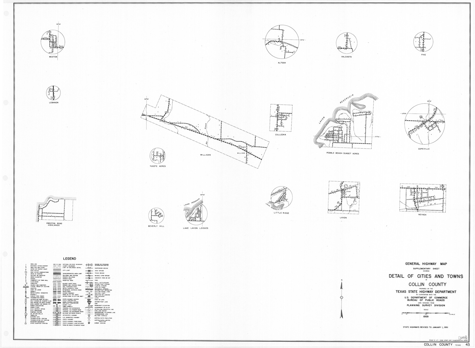
General Highway Map. Detail of Cities and Towns in Collin County, Texas
-
Map/Doc
79414
-
Collection
Texas State Library and Archives
-
Object Dates
1961 (Creation Date)
-
People and Organizations
Texas State Highway Department (Publisher)
-
Counties
Collin
-
Subjects
City County
-
Height x Width
18.2 x 24.8 inches
46.2 x 63.0 cm
-
Comments
Prints available courtesy of the Texas State Library and Archives.
More info can be found here: TSLAC Map 05090
Part of: Texas State Library and Archives
General Highway Map, Rusk County, Texas

Print $20.00
General Highway Map, Rusk County, Texas
1961
Size 24.9 x 18.2 inches
Map/Doc 79643
General Highway Map, Nueces County, Texas

Print $20.00
General Highway Map, Nueces County, Texas
1940
Size 24.6 x 18.5 inches
Map/Doc 79209
General Highway Map, Kimble County, Texas

Print $20.00
General Highway Map, Kimble County, Texas
1940
Size 24.8 x 18.3 inches
Map/Doc 79160
General Highway Map, Mills County, Texas

Print $20.00
General Highway Map, Mills County, Texas
1940
Size 18.4 x 24.8 inches
Map/Doc 79199
General Highway Map, Pecos County, Texas

Print $20.00
General Highway Map, Pecos County, Texas
1961
Size 24.6 x 18.2 inches
Map/Doc 79628
General Highway Map, Bexar County, Texas

Print $20.00
General Highway Map, Bexar County, Texas
1961
Size 18.3 x 25.0 inches
Map/Doc 79371
A New Map of the United States of America

Print $20.00
A New Map of the United States of America
1856
Size 17.8 x 28.0 inches
Map/Doc 79320
General Highway Map, San Patricio County, Texas

Print $20.00
General Highway Map, San Patricio County, Texas
1961
Size 18.1 x 24.5 inches
Map/Doc 79647
General Highway Map. Detail of Cities and Towns in Travis County, Texas

Print $20.00
General Highway Map. Detail of Cities and Towns in Travis County, Texas
1961
Size 18.1 x 24.7 inches
Map/Doc 79683
General Highway Map. Detail of Cities and Towns in Tarrant County, Texas. City Map, Fort Worth and vicinity, Tarrant County, Texas

Print $20.00
General Highway Map. Detail of Cities and Towns in Tarrant County, Texas. City Map, Fort Worth and vicinity, Tarrant County, Texas
1961
Size 18.1 x 25.0 inches
Map/Doc 79665
Plan of the City of Austin

Print $20.00
Plan of the City of Austin
1853
Size 13.9 x 11.5 inches
Map/Doc 76207
Special Map of the Great Southwest for Burke's Texas Almanac

Print $20.00
Special Map of the Great Southwest for Burke's Texas Almanac
1885
Size 42.1 x 28.5 inches
Map/Doc 76214
You may also like
Starr County Working Sketch 22

Print $20.00
- Digital $50.00
Starr County Working Sketch 22
1983
Size 25.8 x 33.1 inches
Map/Doc 63938
Erath County Working Sketch 20

Print $20.00
- Digital $50.00
Erath County Working Sketch 20
1964
Size 16.3 x 22.0 inches
Map/Doc 69101
Right-of-way & Track Map Dawson Railway Operated by the El Paso & Southwestern Company Station 1655+23.4 to Station 1867+09.6

Print $40.00
- Digital $50.00
Right-of-way & Track Map Dawson Railway Operated by the El Paso & Southwestern Company Station 1655+23.4 to Station 1867+09.6
1910
Size 56.7 x 24.6 inches
Map/Doc 89657
Edwards County Boundary File 27 1/2a

Print $56.00
- Digital $50.00
Edwards County Boundary File 27 1/2a
Size 14.1 x 8.8 inches
Map/Doc 52922
Matagorda County Sketch File 34

Print $6.00
- Digital $50.00
Matagorda County Sketch File 34
1950
Size 14.3 x 8.8 inches
Map/Doc 30820
Houston County Sketch File 38

Print $8.00
- Digital $50.00
Houston County Sketch File 38
Size 12.8 x 8.3 inches
Map/Doc 26821
Record of Spanish Titles, Vol. V

Record of Spanish Titles, Vol. V
1845
Size 16.4 x 12.3 inches
Map/Doc 94530
Garza County Sketch File G-1

Print $20.00
- Digital $50.00
Garza County Sketch File G-1
1904
Size 20.4 x 20.6 inches
Map/Doc 11554
Calhoun County NRC Article 33.136 Sketch 2

Print $20.00
- Digital $50.00
Calhoun County NRC Article 33.136 Sketch 2
2002
Size 18.2 x 24.6 inches
Map/Doc 78653
[Skeleton Sketch of G. C. & S. F. Block 194 and sections 60-65, I. & G. N. Block 1]
![93187, [Skeleton Sketch of G. C. & S. F. Block 194 and sections 60-65, I. & G. N. Block 1], Twichell Survey Records](https://historictexasmaps.com/wmedia_w700/maps/93187-1.tif.jpg)
Print $40.00
- Digital $50.00
[Skeleton Sketch of G. C. & S. F. Block 194 and sections 60-65, I. & G. N. Block 1]
Size 74.5 x 43.4 inches
Map/Doc 93187
Webb County Sketch File 4-2

Print $20.00
- Digital $50.00
Webb County Sketch File 4-2
1925
Size 26.3 x 18.1 inches
Map/Doc 12615
[The S.K. Ry. of Texas, State Line to Pecos, Reeves Co., Texas]
![64159, [The S.K. Ry. of Texas, State Line to Pecos, Reeves Co., Texas], General Map Collection](https://historictexasmaps.com/wmedia_w700/maps/64159.tif.jpg)
Print $40.00
- Digital $50.00
[The S.K. Ry. of Texas, State Line to Pecos, Reeves Co., Texas]
1910
Size 19.4 x 130.6 inches
Map/Doc 64159