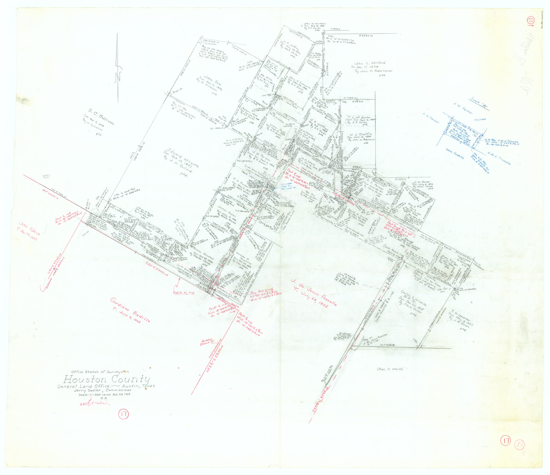
Houston County Working Sketch 17
-
Map/Doc
66247
-
Collection
General Map Collection
-
Object Dates
2/28/1968 (Creation Date)
-
People and Organizations
Roy Buckholts (Draftsman)
-
Counties
Houston
-
Subjects
Surveying Working Sketch
-
Height x Width
43.4 x 50.3 inches
110.2 x 127.8 cm
-
Scale
1" = 300 varas
Part of: General Map Collection
Jefferson County Sketch File 22

Print $22.00
- Digital $50.00
Jefferson County Sketch File 22
Size 7.6 x 11.9 inches
Map/Doc 28179
Flight Mission No. DQN-7K, Frame 38, Calhoun County

Print $20.00
- Digital $50.00
Flight Mission No. DQN-7K, Frame 38, Calhoun County
1953
Size 18.5 x 22.2 inches
Map/Doc 84476
Jack County Sketch File 18

Print $4.00
- Digital $50.00
Jack County Sketch File 18
1880
Size 10.4 x 8.2 inches
Map/Doc 27553
Val Verde County Working Sketch 36

Print $20.00
- Digital $50.00
Val Verde County Working Sketch 36
1942
Size 34.5 x 44.9 inches
Map/Doc 72171
Trace of a copy of the map captured at the battle of Resaca de la Palma

Print $20.00
- Digital $50.00
Trace of a copy of the map captured at the battle of Resaca de la Palma
Size 18.3 x 27.3 inches
Map/Doc 73056
Presidio County Rolled Sketch 79

Print $20.00
- Digital $50.00
Presidio County Rolled Sketch 79
Size 22.2 x 27.0 inches
Map/Doc 7365
Robertson County Sketch File 5 1/2

Print $2.00
- Digital $50.00
Robertson County Sketch File 5 1/2
Size 8.1 x 4.2 inches
Map/Doc 35361
Blanco County Sketch File 49

Print $12.00
- Digital $50.00
Blanco County Sketch File 49
Size 14.3 x 8.8 inches
Map/Doc 14691
Donley County Boundary File 2

Print $10.00
- Digital $50.00
Donley County Boundary File 2
Size 8.7 x 11.3 inches
Map/Doc 52619
Bandera County Boundary File 3

Print $2.00
- Digital $50.00
Bandera County Boundary File 3
Size 4.3 x 8.8 inches
Map/Doc 50266
Topographical Map of the Rio Grande, Sheet No. 19

Print $20.00
- Digital $50.00
Topographical Map of the Rio Grande, Sheet No. 19
1912
Map/Doc 89543
Flight Mission No. DQN-2K, Frame 75, Calhoun County

Print $20.00
- Digital $50.00
Flight Mission No. DQN-2K, Frame 75, Calhoun County
1953
Size 18.7 x 22.3 inches
Map/Doc 84267
You may also like
Angelina County Sketch File 5a

Print $4.00
- Digital $50.00
Angelina County Sketch File 5a
1857
Size 8.6 x 7.7 inches
Map/Doc 12931
Lubbock County Boundary File 1

Print $64.00
- Digital $50.00
Lubbock County Boundary File 1
Size 8.8 x 8.6 inches
Map/Doc 56455
Travis County Sketch File 51

Print $8.00
- Digital $50.00
Travis County Sketch File 51
1941
Size 14.3 x 8.9 inches
Map/Doc 38387
Map of Eastland County, the portion on the waters of Colorado River, Travis - the balance, Milam Land District

Print $20.00
- Digital $50.00
Map of Eastland County, the portion on the waters of Colorado River, Travis - the balance, Milam Land District
1860
Size 23.8 x 21.5 inches
Map/Doc 3501
General Highway Map, Wharton County, Texas

Print $20.00
General Highway Map, Wharton County, Texas
1940
Size 18.5 x 24.9 inches
Map/Doc 79274
Maps of Gulf Intracoastal Waterway, Texas - Sabine River to the Rio Grande and connecting waterways including ship channels

Print $20.00
- Digital $50.00
Maps of Gulf Intracoastal Waterway, Texas - Sabine River to the Rio Grande and connecting waterways including ship channels
1966
Size 14.6 x 22.2 inches
Map/Doc 61947
Dawson County Sketch File 22

Print $6.00
- Digital $50.00
Dawson County Sketch File 22
1953
Size 11.2 x 8.7 inches
Map/Doc 20572
Kimble County Working Sketch 16

Print $20.00
- Digital $50.00
Kimble County Working Sketch 16
1923
Size 22.9 x 17.1 inches
Map/Doc 70084
Hays County Sketch File 16a

Print $4.00
- Digital $50.00
Hays County Sketch File 16a
1871
Size 8.2 x 9.7 inches
Map/Doc 26229
Map of Asia engraved to illustrate Mitchell's new intermediate geography (Inset: Map of Palestine or the Holy Land)

Print $20.00
- Digital $50.00
Map of Asia engraved to illustrate Mitchell's new intermediate geography (Inset: Map of Palestine or the Holy Land)
1885
Size 9.0 x 12.2 inches
Map/Doc 93529
Uvalde County Sketch File 14

Print $6.00
- Digital $50.00
Uvalde County Sketch File 14
1849
Size 8.5 x 11.0 inches
Map/Doc 12529
Sterling County Rolled Sketch 17

Print $40.00
- Digital $50.00
Sterling County Rolled Sketch 17
Size 61.0 x 48.4 inches
Map/Doc 9949