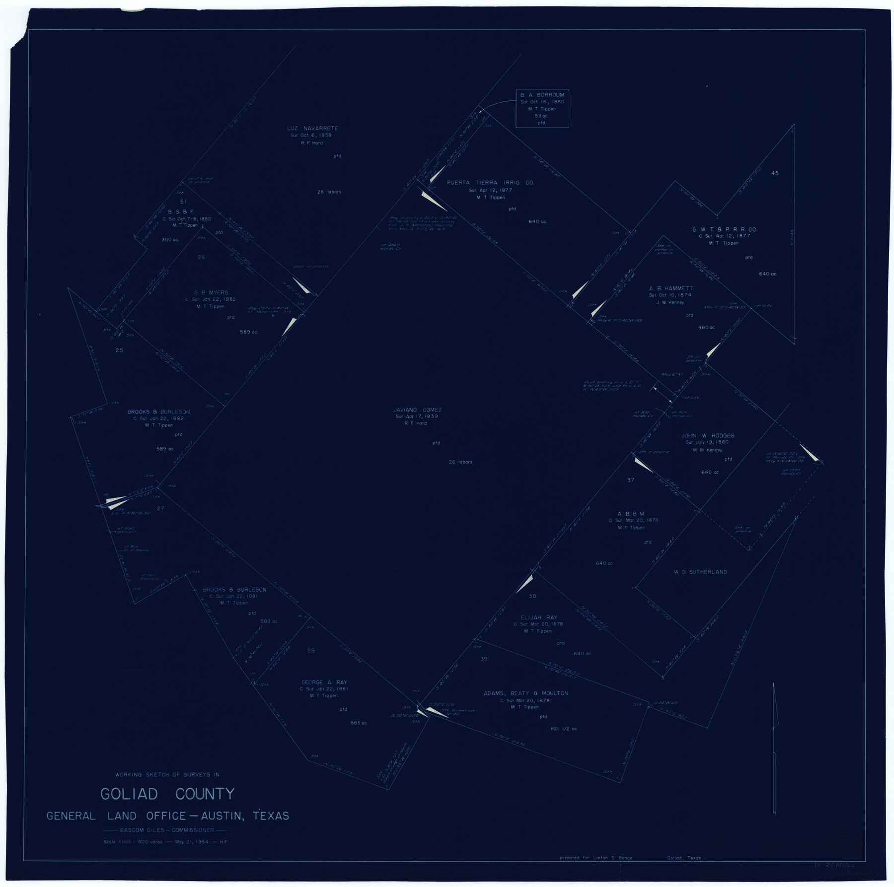
Goliad County Working Sketch 19
-
Map/Doc
63209
-
Collection
General Map Collection
-
Object Dates
5/21/1954 (Creation Date)
-
People and Organizations
Herman Forbes (Draftsman)
-
Counties
Goliad
-
Subjects
Surveying Working Sketch
-
Height x Width
31.5 x 31.8 inches
80.0 x 80.8 cm
-
Scale
1" = 400 varas
Part of: General Map Collection
Crockett County Rolled Sketch 46C

Print $20.00
- Digital $50.00
Crockett County Rolled Sketch 46C
Size 24.5 x 23.8 inches
Map/Doc 5595
Matagorda County Sketch File 31

Print $4.00
- Digital $50.00
Matagorda County Sketch File 31
1919
Size 11.4 x 8.2 inches
Map/Doc 30815
Township 13 South Ranges 14 and 15 West, South Western District, Louisiana

Print $20.00
- Digital $50.00
Township 13 South Ranges 14 and 15 West, South Western District, Louisiana
1838
Size 19.6 x 24.8 inches
Map/Doc 65857
Paul McCombs Field Book on 80 Mile Reservation west of the Pecos

Print $148.00
- Digital $50.00
Paul McCombs Field Book on 80 Mile Reservation west of the Pecos
1883
Size 7.8 x 6.0 inches
Map/Doc 2238
Cameron County Rolled Sketch 17

Print $20.00
- Digital $50.00
Cameron County Rolled Sketch 17
1937
Size 47.0 x 34.0 inches
Map/Doc 61788
Runnels County Sketch File 40

Print $20.00
Runnels County Sketch File 40
1891
Size 37.7 x 14.3 inches
Map/Doc 10594
Map of Reeves County

Print $20.00
- Digital $50.00
Map of Reeves County
1892
Size 44.8 x 34.0 inches
Map/Doc 3983
Colorado County Sketch File 16

Print $4.00
- Digital $50.00
Colorado County Sketch File 16
Size 8.2 x 10.3 inches
Map/Doc 18945
Burnet County Working Sketch 2

Print $20.00
- Digital $50.00
Burnet County Working Sketch 2
1953
Size 18.3 x 29.1 inches
Map/Doc 67845
Flight Mission No. DAH-9M, Frame 88, Orange County

Print $20.00
- Digital $50.00
Flight Mission No. DAH-9M, Frame 88, Orange County
1953
Size 18.5 x 22.6 inches
Map/Doc 86852
Hudspeth County Sketch File 22

Print $10.00
- Digital $50.00
Hudspeth County Sketch File 22
1935
Size 11.2 x 8.7 inches
Map/Doc 26974
Fisher County

Print $20.00
- Digital $50.00
Fisher County
1921
Size 45.8 x 40.4 inches
Map/Doc 66822
You may also like
Right of Way and Track Map Houston & Texas Central R.R. operated by the T. & N.O. R.R. Co., Austin Branch

Print $40.00
- Digital $50.00
Right of Way and Track Map Houston & Texas Central R.R. operated by the T. & N.O. R.R. Co., Austin Branch
1918
Size 25.6 x 57.8 inches
Map/Doc 64555
Rusk County Working Sketch 14

Print $20.00
- Digital $50.00
Rusk County Working Sketch 14
1976
Size 38.9 x 37.7 inches
Map/Doc 63649
Ector County Working Sketch 10

Print $20.00
- Digital $50.00
Ector County Working Sketch 10
1953
Size 25.4 x 39.0 inches
Map/Doc 68853
Liberty County Working Sketch 72

Print $20.00
- Digital $50.00
Liberty County Working Sketch 72
1977
Size 25.8 x 28.7 inches
Map/Doc 70532
[Aerial photograph showing R. H. Welder Ranch, San Patricio County, Texas]
![61407, [Aerial photograph showing R. H. Welder Ranch, San Patricio County, Texas], General Map Collection](https://historictexasmaps.com/wmedia_w700/maps/61407.tif.jpg)
Print $20.00
- Digital $50.00
[Aerial photograph showing R. H. Welder Ranch, San Patricio County, Texas]
Size 23.0 x 39.5 inches
Map/Doc 61407
Stonewall County Working Sketch Graphic Index - sheet B

Print $20.00
- Digital $50.00
Stonewall County Working Sketch Graphic Index - sheet B
1933
Size 43.7 x 36.6 inches
Map/Doc 83172
Childress Co.

Print $20.00
- Digital $50.00
Childress Co.
1978
Size 44.6 x 33.7 inches
Map/Doc 77237
The Beautiful Valley of the Lower Rio Grande of Texas

The Beautiful Valley of the Lower Rio Grande of Texas
1928
Map/Doc 96739
Map of Bexar County

Print $20.00
- Digital $50.00
Map of Bexar County
1879
Size 24.2 x 27.6 inches
Map/Doc 4508
[Map of San Antonio, Texas]
![93399, [Map of San Antonio, Texas], General Map Collection - 1](https://historictexasmaps.com/wmedia_w700/maps/93399.tif.jpg)
Print $20.00
- Digital $50.00
[Map of San Antonio, Texas]
1895
Size 29.4 x 34.5 inches
Map/Doc 93399
Erath County Working Sketch 16

Print $20.00
- Digital $50.00
Erath County Working Sketch 16
1961
Size 20.9 x 26.5 inches
Map/Doc 69097
Bandera County Working Sketch 50

Print $20.00
- Digital $50.00
Bandera County Working Sketch 50
1985
Size 34.1 x 31.6 inches
Map/Doc 67646