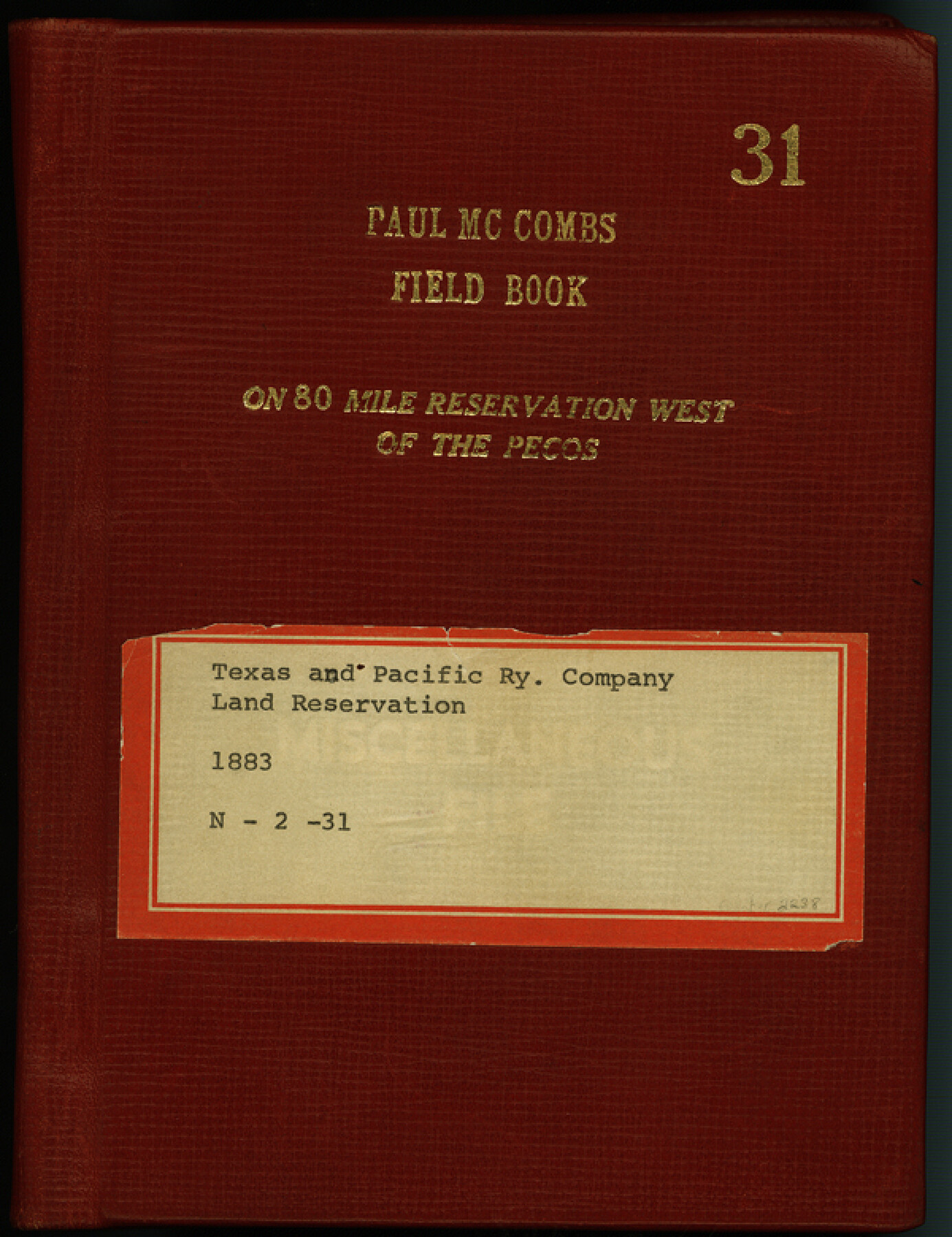
Paul McCombs Field Book on 80 Mile Reservation west of the Pecos
N-2-31
-
Map/Doc
2238
-
Collection
General Map Collection
-
Object Dates
1883/9/17 (Creation Date)
-
People and Organizations
Paul McCombs (Surveyor/Engineer)
-
Counties
El Paso Presidio Reeves
-
Subjects
Texas and Pacific Railroad
-
Height x Width
7.8 x 6.0 inches
19.8 x 15.2 cm
Part of: General Map Collection
Archer County Sketch File 23

Print $40.00
- Digital $50.00
Archer County Sketch File 23
1936
Size 25.3 x 23.4 inches
Map/Doc 10831
Jefferson County Sketch File 18

Print $40.00
- Digital $50.00
Jefferson County Sketch File 18
Size 15.7 x 14.0 inches
Map/Doc 28167
Hardin County Sketch File 53

Print $12.00
- Digital $50.00
Hardin County Sketch File 53
Size 11.4 x 8.8 inches
Map/Doc 25213
Sabine County Working Sketch 11

Print $20.00
- Digital $50.00
Sabine County Working Sketch 11
1931
Size 30.9 x 34.0 inches
Map/Doc 63682
Dimmit County Sketch File 14

Print $20.00
- Digital $50.00
Dimmit County Sketch File 14
1884
Size 35.7 x 23.3 inches
Map/Doc 11342
Midland County Rolled Sketch 4A

Print $40.00
- Digital $50.00
Midland County Rolled Sketch 4A
1951
Size 43.0 x 85.3 inches
Map/Doc 61735
Hudspeth County Working Sketch 4

Print $20.00
- Digital $50.00
Hudspeth County Working Sketch 4
1914
Size 16.9 x 20.5 inches
Map/Doc 66285
Yoakum County Sketch File 16

Print $20.00
- Digital $50.00
Yoakum County Sketch File 16
1939
Size 15.0 x 19.4 inches
Map/Doc 12709
Jeff Davis County Working Sketch 32

Print $40.00
- Digital $50.00
Jeff Davis County Working Sketch 32
1975
Size 66.7 x 43.7 inches
Map/Doc 66527
Fayette County Working Sketch 5

Print $20.00
- Digital $50.00
Fayette County Working Sketch 5
1981
Size 16.2 x 14.6 inches
Map/Doc 69169
Grayson County Sketch File 1

Print $2.00
- Digital $50.00
Grayson County Sketch File 1
1854
Size 8.4 x 3.3 inches
Map/Doc 24459
Garza County Sketch File 2

Print $20.00
- Digital $50.00
Garza County Sketch File 2
Size 33.1 x 30.3 inches
Map/Doc 10462
You may also like
Gaines County Sketch File 18

Print $242.00
- Digital $50.00
Gaines County Sketch File 18
1887
Size 8.4 x 8.4 inches
Map/Doc 23210
T. C. Ivey Ranch, Block D, Yoakum Co., Texas

Print $20.00
- Digital $50.00
T. C. Ivey Ranch, Block D, Yoakum Co., Texas
Size 17.1 x 14.6 inches
Map/Doc 91976
Presidio County Working Sketch 53

Print $20.00
- Digital $50.00
Presidio County Working Sketch 53
1955
Size 28.6 x 18.9 inches
Map/Doc 71730
Webb County Sketch File 11a

Print $4.00
- Digital $50.00
Webb County Sketch File 11a
1883
Size 11.2 x 8.7 inches
Map/Doc 39779
Controlled Mosaic by Jack Amman Photogrammetric Engineers, Inc - Sheet 49

Print $20.00
- Digital $50.00
Controlled Mosaic by Jack Amman Photogrammetric Engineers, Inc - Sheet 49
1954
Size 20.0 x 24.0 inches
Map/Doc 83508
McLennan County Sketch File 1

Print $4.00
- Digital $50.00
McLennan County Sketch File 1
Size 11.5 x 8.4 inches
Map/Doc 31224
Atascosa County Sketch File 19

Print $6.00
- Digital $50.00
Atascosa County Sketch File 19
1854
Size 8.8 x 7.2 inches
Map/Doc 13784
Dallas County Working Sketch 21

Print $20.00
- Digital $50.00
Dallas County Working Sketch 21
2008
Size 32.6 x 33.9 inches
Map/Doc 88761
Report of a resurvey of Texas & Pacific Ry. Lands in the 80 mile reservation made in 1930-31 for Kloh, Rumsey, and Abrams by W. J. Powell, Consulting Eng.

Print $77.00
- Digital $50.00
Report of a resurvey of Texas & Pacific Ry. Lands in the 80 mile reservation made in 1930-31 for Kloh, Rumsey, and Abrams by W. J. Powell, Consulting Eng.
1931
Size 11.3 x 8.8 inches
Map/Doc 2247
Bandera County Working Sketch 43

Print $20.00
- Digital $50.00
Bandera County Working Sketch 43
1978
Size 27.7 x 31.6 inches
Map/Doc 67639
Throckmorton Co.

Print $20.00
- Digital $50.00
Throckmorton Co.
1898
Size 41.2 x 35.9 inches
Map/Doc 16895
Mrs. Minnie Slaughter Veal's Subdivision of C. C. Slaughter Cattle Company Division

Print $20.00
- Digital $50.00
Mrs. Minnie Slaughter Veal's Subdivision of C. C. Slaughter Cattle Company Division
Size 26.5 x 20.6 inches
Map/Doc 92510